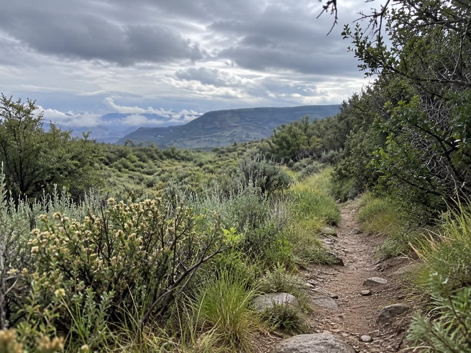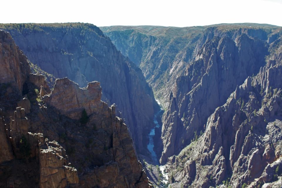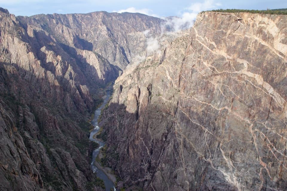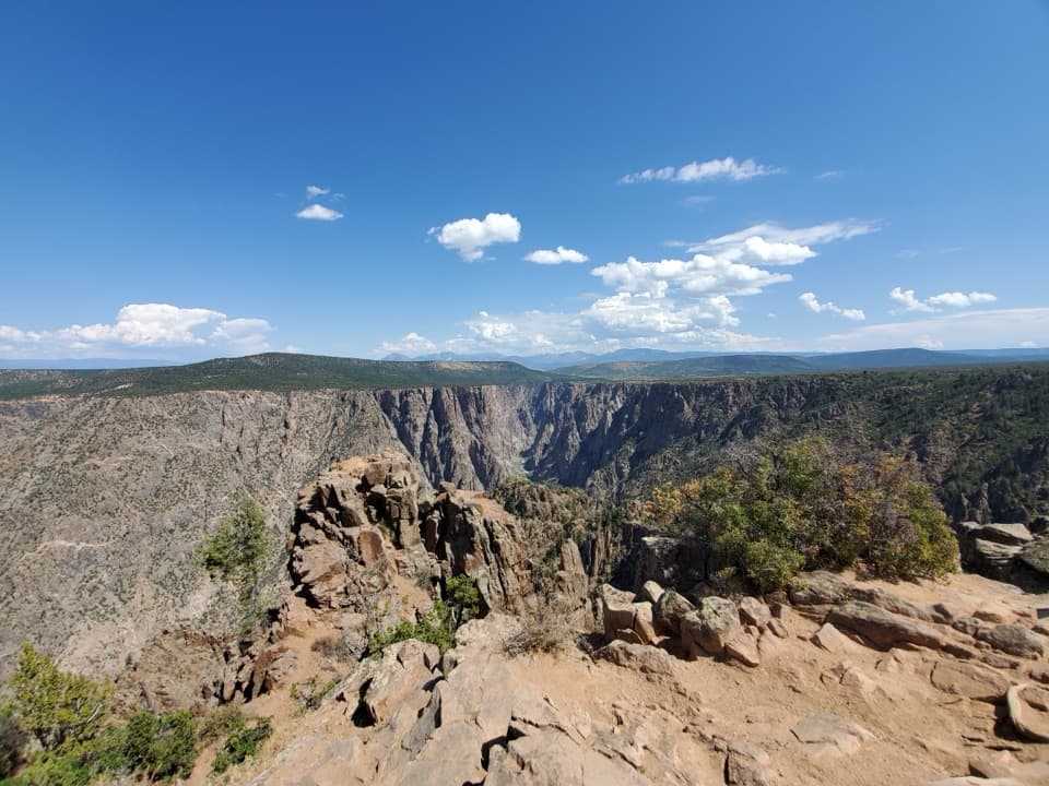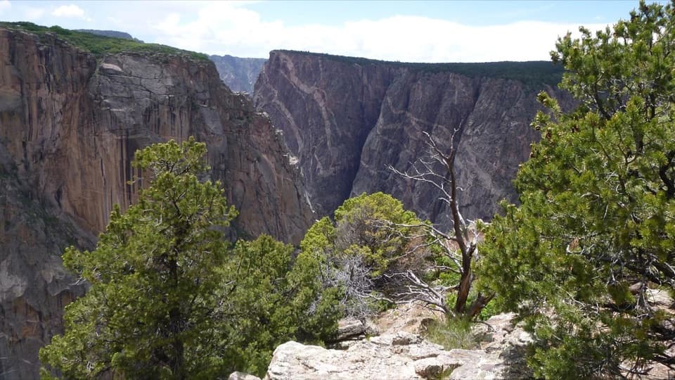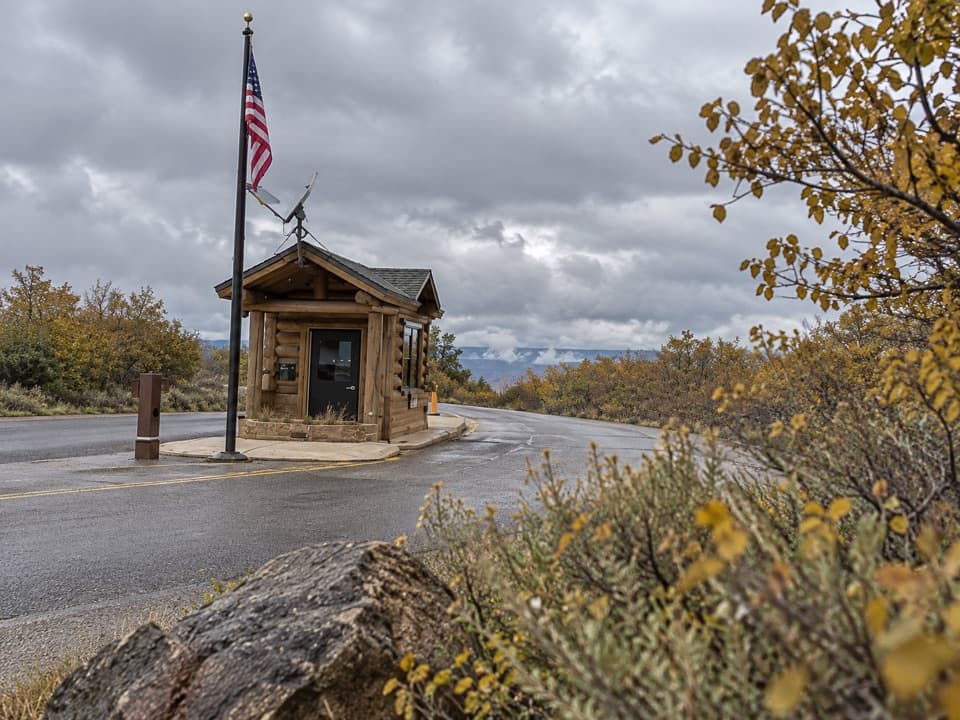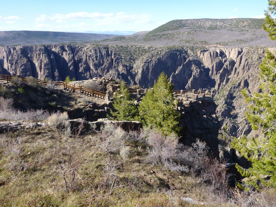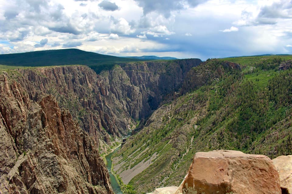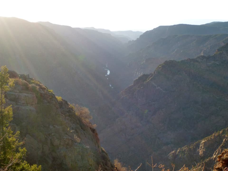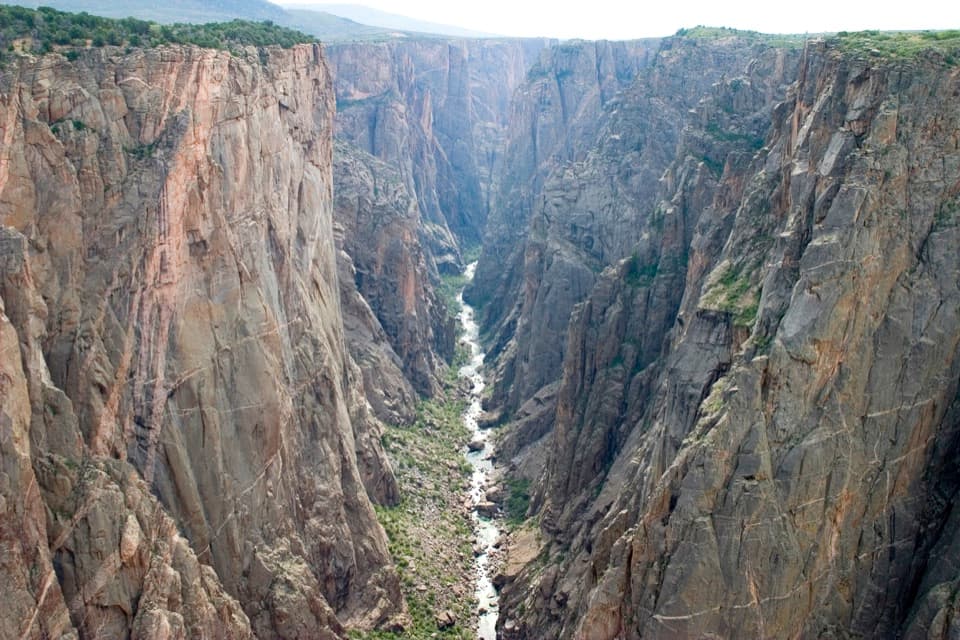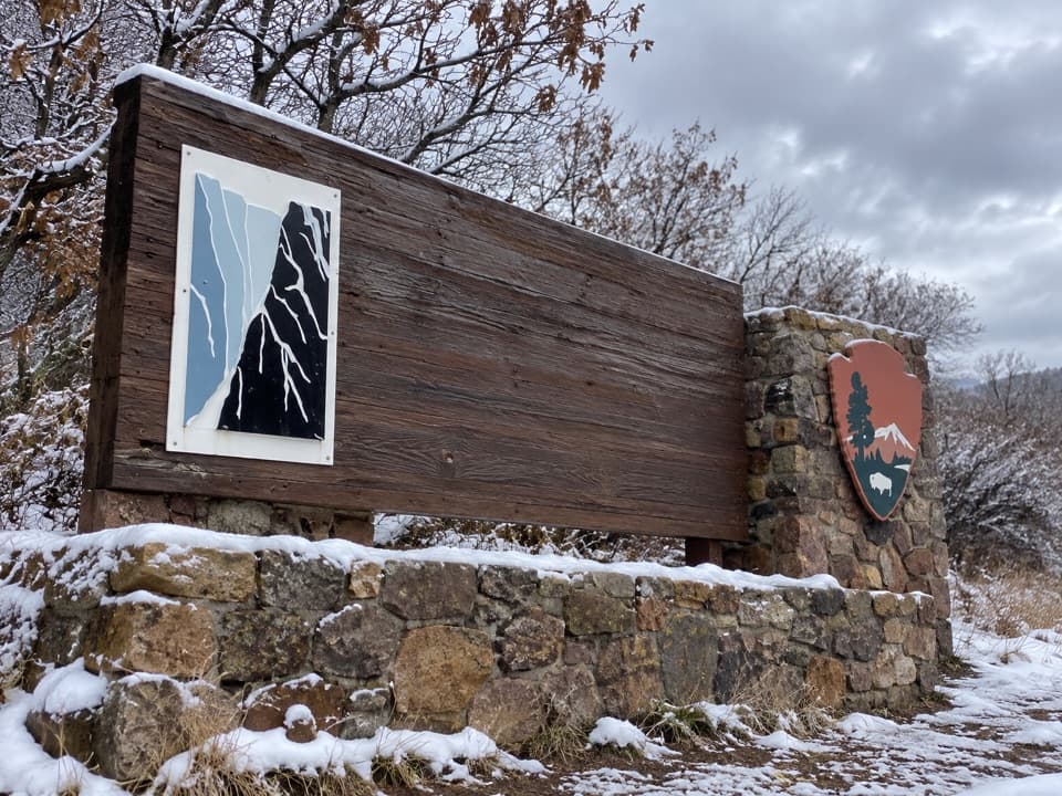
Black Canyon of the Gunnison National Park Entrance Sign (South Rim) in Black Canyon of the Gunnison National Park

Sight · Black Canyon of the Gunnison National Park

Black Canyon of the Gunnison National Park Entrance Sign (South Rim)

A wood-and-stone welcome sign on the South Rim approach.

Type
Sight
Nearest trail
0.6 mi
Audio stories
8 nearby

Hear the audio tour

Rim Rock Trail from South Rim Campground

Overview

About Black Canyon of the Gunnison National Park Entrance Sign (South Rim)

Why stop

  • A distinctive arrival marker with a canyon graphic.

Heads up

  • It is a gateway photo stop, not a canyon overlook.

Map

Where it is

Loading the Black Canyon of the Gunnison map
Full map
SightBlack Canyon of the Gunnison National Park Entrance Sign (South Rim)38.53978, -107.69706
Keep this map with you offline in the Parkwolf app

Plan your stop

Before you go

3 active Black Canyon of the Gunnison alerts

  • ClosureTomichi Route Closed; Gunnison Route Hazards from 2025 FireTomichi Route remains closed because of the 2025 South Rim Fire; inner-canyon access is limited to designated routes.Official details
  • ClosureSouth Rim Fire-Affected Campground Areas and Winter Water OutagesSome South Rim Campground areas remain closed because of the 2025 South Rim Fire; drinking water is unavailable throughout the park for winter.Official details

See all 3 alerts
A park ranger sits on a dash-mounted phone, talking, as Parkwolf’s Tour Guide plays “Army Cutworm Moths: A Grizzly Bear Buffet” on Grand Loop Road below Dunraven Pass in Yellowstone
Parkwolf Tour GuideThe highest, rockiest slopes around here are a summer buffet for grizzly bears.

Black Canyon of the Gunnison Tour Guide

Your drive to Black Canyon of the Gunnison National Park Entrance Sign (South Rim), narrated.

Parkwolf is a GPS audio tour guide for Black Canyon of the Gunnison National Park. As you drive, it chimes in with what’s ahead: hidden gems, upcoming stops, history, geology, and wildlife, right through your car’s speakers.

Recorded for this area

Rim Rock Trail from South Rim Campground
0:00 / 0:22
“Rim Rock Trail is coming up, with its campground entrance near Loop C of South Rim Campground. It's a useful walk to the visitor center, following the rim past Tomichi Point with glimpses of the river below.”

Plays on the road 0.6 mi from Black Canyon of the Gunnison National Park Entrance Sign (South Rim) in the Parkwolf Black Canyon of the Gunnison Tour Guide.

More stories near here in the app

  • A River Locked into Its Route
  • Peregrines Above the Gorge
  • South Rim Visitor Center and Gunnison Point
  • Air Mattresses in the Canyon
  • 23 audio storiesacross Black Canyon of the Gunnison’s roads, triggered by GPS as you drive
  • Wildlife heatmapsfor Bighorn Sheep, Mule Deer, Red-tailed Hawk, and 13 more
  • Works offlinemaps, 13 trails, 29 places, and audio download before you lose signal
  • CarPlay readysimple controls built for the drive
★★★★★
“Fantastic app with many points of information… It’s great to just turn on while you’re driving and it gives you an audio tour of the national Park. We love it!!!!”
JMJamesApp Store review
Download Parkwolf on the App StoreGet Parkwolf on Google Play

4.7 from 8,600+ ratings

Guide

More about Black Canyon of the Gunnison National Park Entrance Sign (South Rim)

A small arrival markerThis South Rim entrance sign is a long wooden panel set into a low stone wall on the approach…

This South Rim entrance sign is a long wooden panel set into a low stone wall on the approach to Black Canyon of the Gunnison. A canyon graphic and the stonework make it a distinctive gateway photo, but it is not a canyon overlook; the rim views are farther inside. If you stop, keep the panel and its stone base together in the frame. Pull in only where there is a safe, designated place to stop.

Getting to the South RimFrom U.S. 50 east of Montrose, the South Rim route follows CO 347 north for about seven miles.

From U.S. 50 east of Montrose, the South Rim route follows CO 347 north for about seven miles. The entrance sign is a separate point from the fee station farther along the approach. No marked pull-off at this exact sign could be verified, so do not rely on its displayed U.S. 50 address as access guidance. If a safe stopping place is not clear, continue.

Why it says national parkBlack Canyon was first protected as a national monument in 1933 and became a national park in…

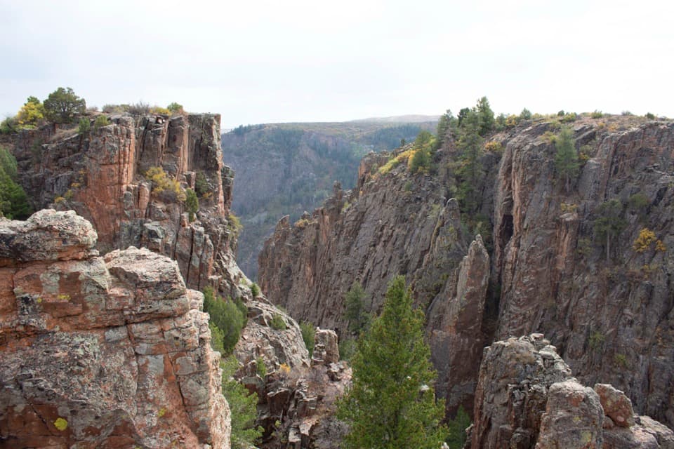
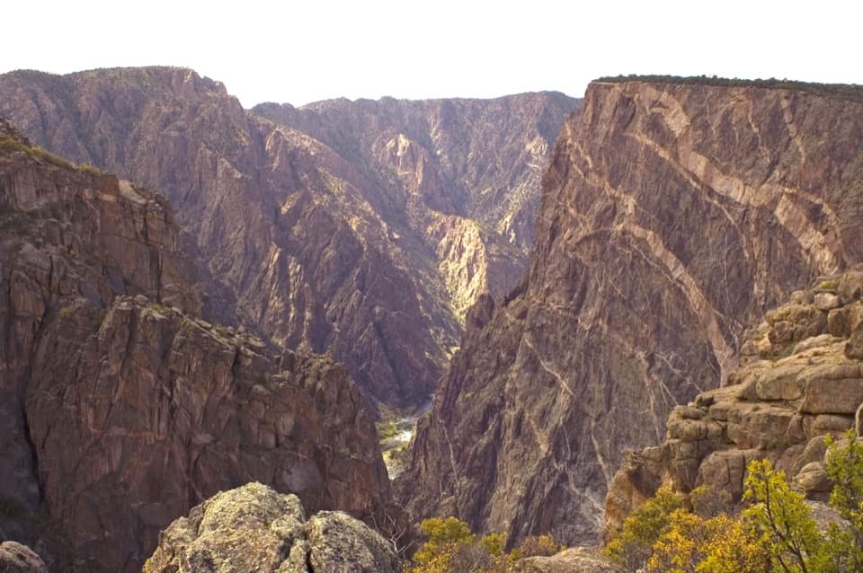
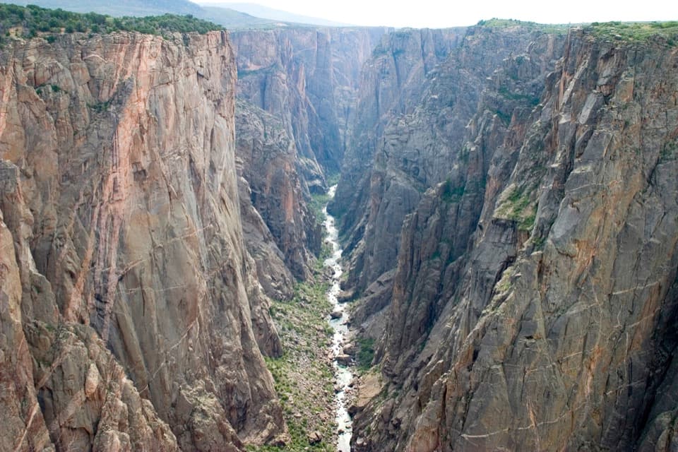
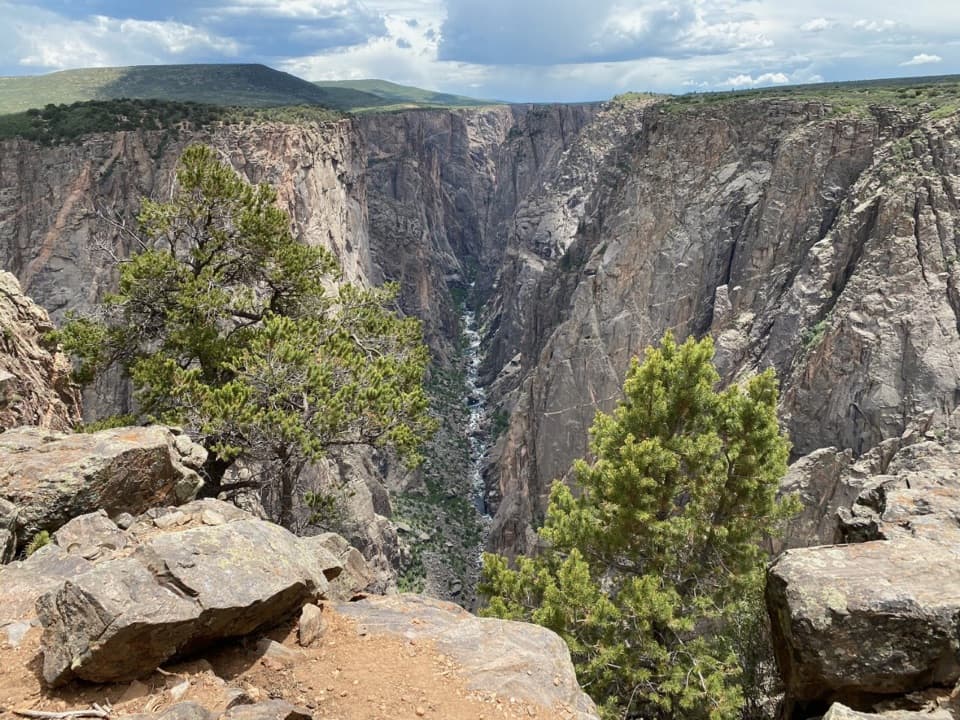
Black Canyon was first protected as a national monument in 1933 and became a national park in 1999. The sign’s wording reflects that later designation. “Black Canyon” refers to cliffs that often look dark in shadow.

Wildlife

Wildlife in Black Canyon of the Gunnison

All Black Canyon of the Gunnison wildlife maps

Sighting maps show where each species has been reported across Black Canyon of the Gunnison. Wildlife moves, so no sighting is guaranteed.

Keep exploring

Near Black Canyon of the Gunnison National Park Entrance Sign (South Rim)

See it all on the map

Trails nearby

More stops nearby

Parkwolf’s Black Canyon of the Gunnison ranking

Top sights in Black Canyon of the Gunnison

All 29 places
  1. 1Painted Wall OverlookSight
  2. 2Gunnison Point OverlookSight
  3. 3Chasm View Overlook (South Rim)Sight
  4. 4Exclamation PointSight
  5. 5Sunset View OverlookSight
  6. 6North Chasm ViewSight

Take Parkwolf to Black Canyon of the Gunnison.

The audio tour guide for the drive, plus offline maps, trails, and wildlife heatmaps for when the signal drops.

4.7 from 8,600+ ratings

Download Parkwolf on the App StoreGet Parkwolf on Google Play