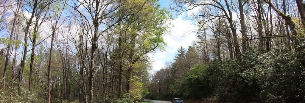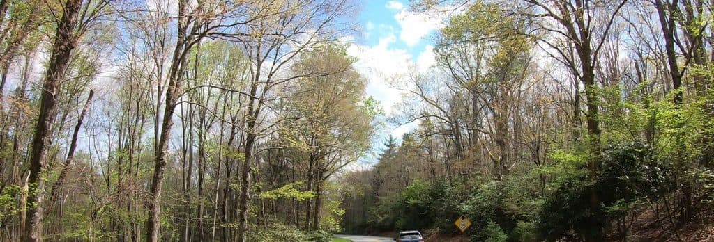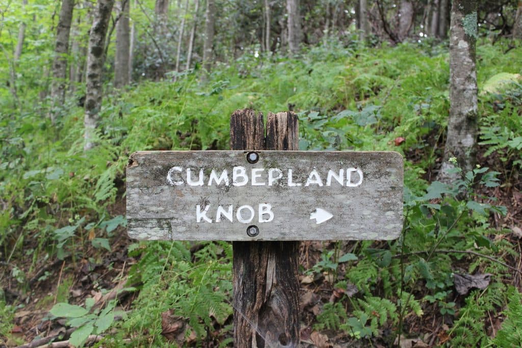
Cumberland Knob Picnic Area in Blue Ridge Parkway

Picnic area · Blue Ridge Parkway

Cumberland Knob Picnic Area

Shady and sunny picnic hub with trails and Parkway history

Photo: National Park Service
Type
Picnic area
Nearest trail
Right here
Audio stories
4 nearby
  • Trailhead
  • Restrooms
  • Parking
  • Picnic tables

Hear the audio tour

Cumberland Knob: The Parkway's Starting Point

Overview

About Cumberland Knob Picnic Area

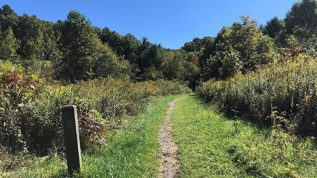
A classic Parkway day-stop at MP 217.5, Cumberland Knob Picnic Area mixes cool, shaded woods with a broad grassy field—great for spreading out, tossing a ball, or just soaking up the calm. It’s also where construction of the Blue Ridge Parkway began in 1935 and the first recreation area opened (1937), so you’re picnicking right in Parkway history.

Why stop

  • Shady woodland loop and big open field—pick your vibe
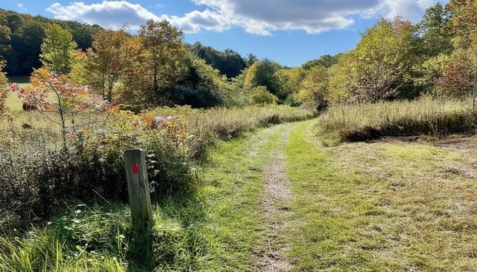
  • Trailheads right from the tables, from easy strolls to rugged loops
  • Historic first Parkway recreation area

Heads up

  • Restrooms are seasonal
  • No food or trash service—pack it in, pack it out
Most Parkway picnic spots don’t give you both a mature forest loop and a big meadow in one place. Here, you can choose deep shade with tables and grills tucked under hardwoods, or set up beside the open field. The comfort station sits in a 1941 stone building that once housed a sandwich shop, preserving that early-parkway feel.
Parkwolf’s verdictWhat makes it different

Map

Where it is

Loading the Blue Ridge Parkway map
Full map
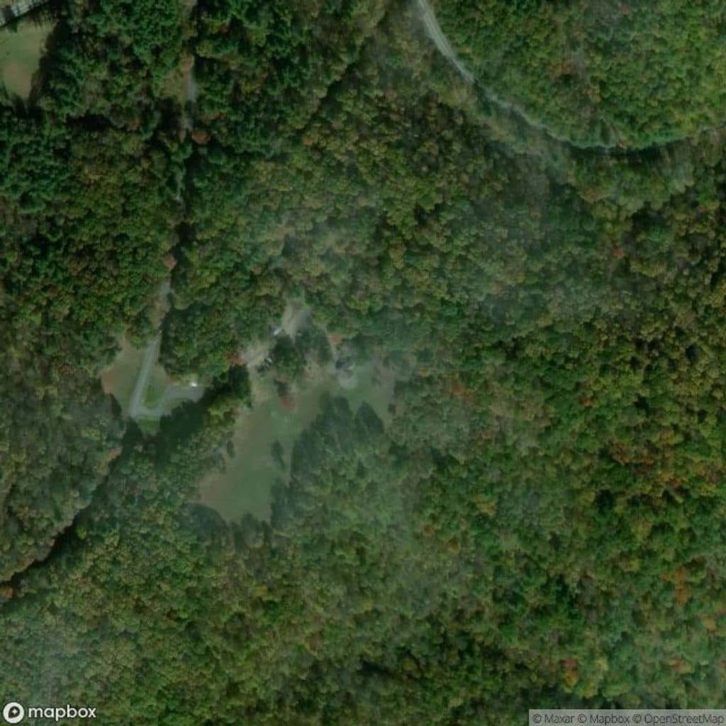
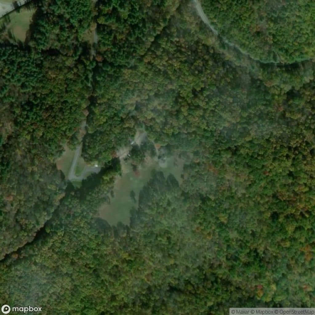
Picnic areaCumberland Knob Picnic Area36.55414, -80.90692
Keep this map with you offline in the Parkwolf app

Local know-how

Tips for visiting Cumberland Knob Picnic Area

  1. Bring your own food and trash bags—no concessions or bins on site.

  2. For a view of Pilot Mountain, head to the grassy picnic area’s east side.

  3. Choose the wooded loop for cooler shade on hot days.

  4. Check restroom status in spring and fall—they’re seasonal.

  5. Avoid Gully Creek Trail after heavy rain due to multiple creek crossings.

Plan your stop

Before you go

Best time to visit

  • Weekdays are reliably mellow; weekends see more family gatherings.
  • Summer afternoons: grab a table in the wooded loop for cooler shade.
  • Shoulder seasons are lovely, but restrooms operate seasonally—check status before you go.
  • For softer photos and a calmer feel, aim for early or late in the day.

Facilities & vibe

You’ll find numerous tables with grills, modern seasonal restrooms, ample parking, and a low-key visitor info spot in the recreation area. No concessions or store—bring everything you need, and plan to pack out trash. Cell service is spotty. It’s a local favorite that usually stays quieter than the Parkway’s headline stops, especially outside peak weekends.

2 active Blue Ridge Parkway alerts

  • ClosureNorth Carolina Helene-related closuresAvoid the closed Parkway section from MP 344.2–355.3; recreation of any kind is prohibited there.Official details
  • ClosureVirginia Parkway closures and detourFollow the signed detour around the closed James River Bridge and avoid the closed Roanoke Mountain Loop. - James River Bridge (MP 63.5–63.Official details
Blue Ridge Parkway alerts
A park ranger sits on a dash-mounted phone, talking, as Parkwolf’s Tour Guide plays “Army Cutworm Moths: A Grizzly Bear Buffet” on Grand Loop Road below Dunraven Pass in Yellowstone
Parkwolf Tour GuideThe highest, rockiest slopes around here are a summer buffet for grizzly bears.

Blue Ridge Parkway Tour Guide

Your drive to Cumberland Knob Picnic Area, narrated.

Parkwolf is a GPS audio tour guide for Blue Ridge Parkway. As you drive, it chimes in with what’s ahead: hidden gems, upcoming stops, history, geology, and wildlife, right through your car’s speakers.

See the Blue Ridge Parkway audio tour

Recorded for this area

Cumberland Knob: The Parkway's Starting Point
Listen
“The spot you're coming to, Cumberland Knob, is where the whole story of the Parkway began; the very first shovelful of dirt for the road was turned right here in 1935.”

Plays near Cumberland Knob Picnic Area in the Parkwolf Blue Ridge Parkway Tour Guide.

More stories near here in the app

  • Cumberland Knob: The Parkway's Starting Point
  • Rocky Knob Picnic Area and Trail Hub
  • The Leaf that Named a Town
  • Scenic Easements: The Invisible Park that Protects the View
  • 277 audio storiesacross Blue Ridge Parkway’s roads, triggered by GPS as you drive
  • Wildlife heatmapsfor Black Bear, Elk, White-tailed Deer, and 13 more
  • Works offlinemaps, 112 trails, 232 places, and audio download before you lose signal
  • CarPlay readysimple controls built for the drive
★★★★★
“…We knew we wanted to drive the Blue Ridge Parkway. The narration was impeccably timed. The facts and info provided were meaningful. Without it, the trip would not have been near as awesome.”
Ashl GApp Store review
Download Parkwolf on the App StoreGet Parkwolf on Google Play

4.7 from 8,600+ ratings

Guide

More about Cumberland Knob Picnic Area

Trails from your tableA small historic cemetery (Moxley Cemetery) is also accessible from the main area.

A small historic cemetery (Moxley Cemetery) is also accessible from the main area.

  • Cumberland Knob Trail: about 1 mile, an easy-to-moderate loop that circles the field and rises onto the namesake knob.
  • Gully Creek Trail: roughly 2.5 miles and legitimately strenuous—expect a narrow gorge, multiple creek crossings, a small waterfall and cascades, and a stout climb back.
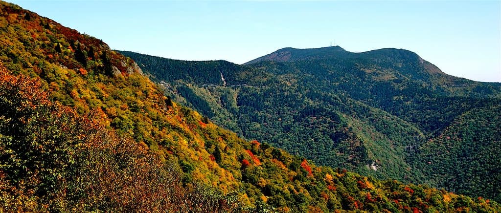
Views & wildlifeFrom the grassy picnic area, look east for a view toward Pilot Mountain.

From the grassy picnic area, look east for a view toward Pilot Mountain. The mix of meadow and forest attracts a nice variety of birds and small woodland mammals, making it an easy add-on for casual birding between sandwiches.

Good to knowAfter heavy rain, skip the Gully Creek loop—those creek crossings get tricky.
  • After heavy rain, skip the Gully Creek loop—those creek crossings get tricky.
  • Some tables are a short carry from the car; pack accordingly.
  • The open field is perfect for group meetups and casual games; the woods are better for a quiet, lingering picnic.

Wildlife

Wildlife in Blue Ridge Parkway

All Blue Ridge Parkway wildlife maps

Sighting maps show where each species has been reported across Blue Ridge Parkway. Wildlife moves, so no sighting is guaranteed.

Parkwolf’s Blue Ridge Parkway ranking

Top sights in Blue Ridge Parkway

All 232 places
  1. 1Linn Cove ViaductSight
  2. 2Mount MitchellSight
  3. 3Mount Mitchell State ParkSight
  4. 4Craggy Pinnacle OverlookSight
  5. 5Linville FallsSight
  6. 6Peaks of OtterSight

Take Parkwolf to Blue Ridge Parkway.

The audio tour guide for the drive, plus offline maps, trails, and wildlife heatmaps for when the signal drops.

4.7 from 8,600+ ratings

Download Parkwolf on the App StoreGet Parkwolf on Google Play