High Meadow Trail in Blue Ridge Parkway

Blue Ridge Parkway, NC · VA

High Meadow Trail

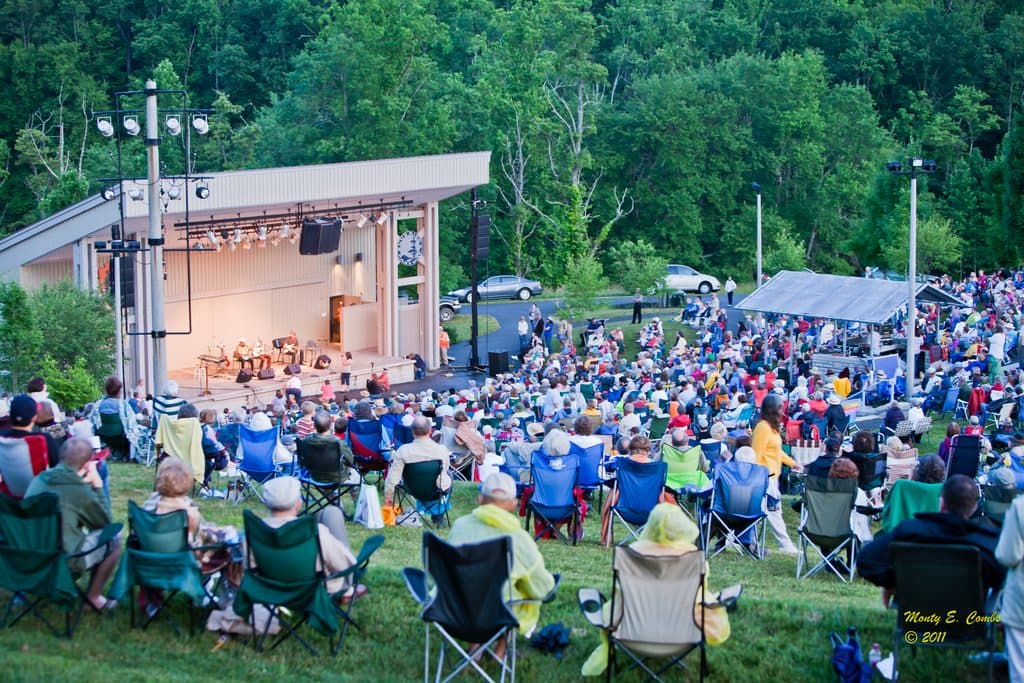
Meadow and woodland stroll with music drifting from the stage

Photo: National Park Service
Length
2.7mi
Time
1.5hr
Elev. change
98ft
Difficulty
Easy
  • Dogs allowed
  • High point 2,690 ft

Hear the audio tour

Blue Ridge Music Center: Live Tunes and History

Overview

About High Meadow Trail

Why go

  • Kids in Parks TRACK Trail activities at both ends
  • Live mountain music often audible in warm months

Heads up

  • Not a loop unless combined with Fisher Peak Loop
  • Stepping-stone creek crossings can be slick and muddy after rain
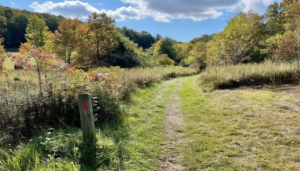
A gentle, family-friendly wander through open hayfields, wetlands, and shady woods, the High Meadow Trail pairs easy walking with a dash of culture from the Blue Ridge Music Center. On warm-season days you might even catch strains of live mountain music floating across the meadows as you walk nps.gov.
Parkwolf’s verdictWhy hike it

Map & elevation

The route

Loading the Blue Ridge Parkway map
Full map
Elevation2,592–2,690 ft
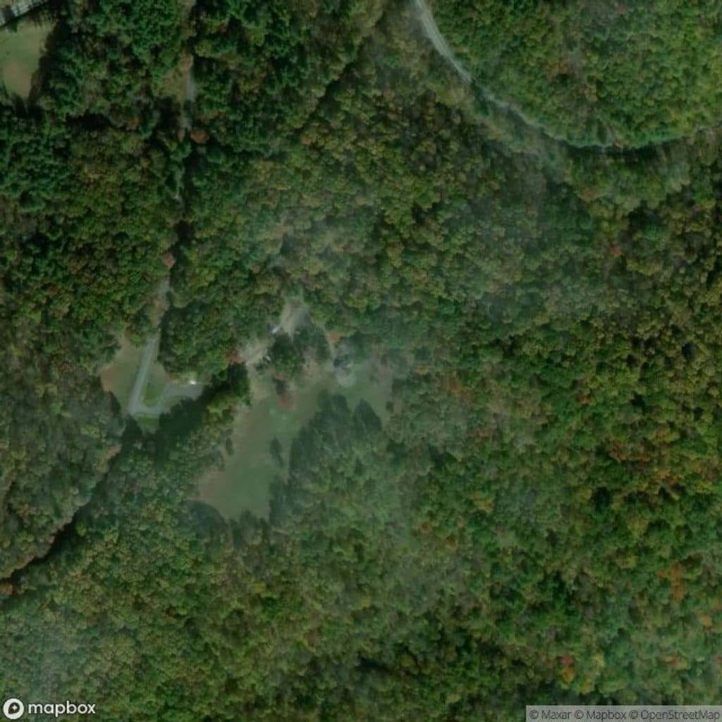
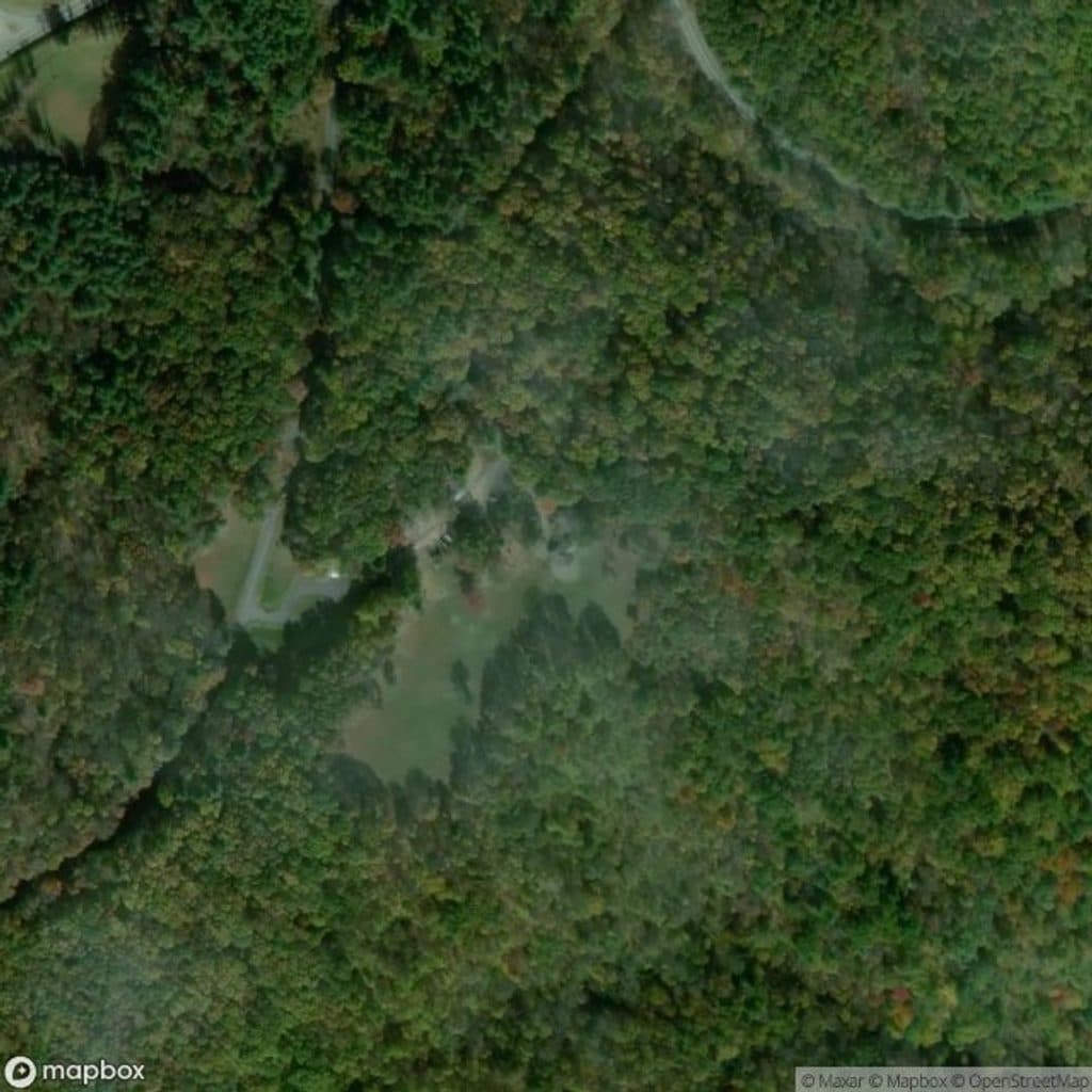
TrailheadThe Blue Ridge Music Center36.57317, -80.85026
Keep this map with you offline in the Parkwolf app

Plan your hike

Before you go

Parking

Use the Blue Ridge Music Center parking area for the main trailhead, or the signed SR 612 (Foothills Road) trailhead parking area. After 2:00 PM and from November through April, use the SR 612 trailhead because the visitor-center gates close at 5:00 PM.

Safety

Natural, uneven tread with roots and narrow spots; stepping-stone stream crossings and wet, muddy sections after rain; not stroller/ADA accessible.

2 active Blue Ridge Parkway alerts

  • ClosureNorth Carolina Helene-related closuresAvoid the closed Parkway section from MP 344.2–355.3; recreation of any kind is prohibited there.Official details
  • ClosureVirginia Parkway closures and detourFollow the signed detour around the closed James River Bridge and avoid the closed Roanoke Mountain Loop. - James River Bridge (MP 63.5–63.Official details
Blue Ridge Parkway alerts
A park ranger sits on a dash-mounted phone, talking, as Parkwolf’s Tour Guide plays “Army Cutworm Moths: A Grizzly Bear Buffet” on Grand Loop Road below Dunraven Pass in Yellowstone
Parkwolf Tour GuideThe highest, rockiest slopes around here are a summer buffet for grizzly bears.

Blue Ridge Parkway Tour Guide

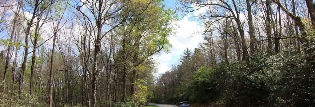
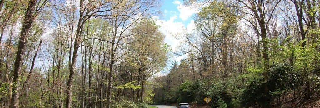
Your drive to High Meadow Trail, narrated.

Parkwolf is a GPS audio tour guide for Blue Ridge Parkway. As you drive, it chimes in with what’s ahead: hidden gems, upcoming stops, history, geology, and wildlife, right through your car’s speakers.

See the Blue Ridge Parkway audio tour

Recorded for this trailhead

Blue Ridge Music Center: Live Tunes and History
Listen
“Up ahead is the Blue Ridge Music Center, the Parkway’s official hub for bluegrass and old-time mountain tunes.”

Plays as you drive up to this trailhead in the Parkwolf Blue Ridge Parkway Tour Guide.

More stories near here in the app

  • SR 612 Trail: A Hike Through Forest and Meadow
  • Crossing the Line: How the Virginia–North Carolina Border Was Surveyed
  • The Leaf that Named a Town
  • Rocky Knob Picnic Area and Trail Hub
  • 277 audio storiesacross Blue Ridge Parkway’s roads, triggered by GPS as you drive
  • Wildlife heatmapsfor Black Bear, Elk, White-tailed Deer, and 13 more
  • Works offlinemaps, 112 trails, 232 places, and audio download before you lose signal
  • CarPlay readysimple controls built for the drive
★★★★★
“…We knew we wanted to drive the Blue Ridge Parkway. The narration was impeccably timed. The facts and info provided were meaningful. Without it, the trip would not have been near as awesome.”
Ashl GApp Store review
Download Parkwolf on the App StoreGet Parkwolf on Google Play

4.7 from 8,600+ ratings

Trail guide

Hiking High Meadow Trail

The route and what to expectThis is an out-and-back footpath between the Blue Ridge Music Center at Milepost 213 and the SR…

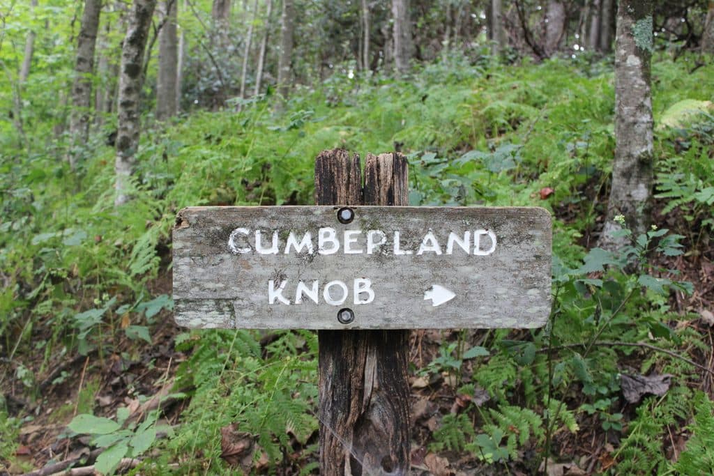
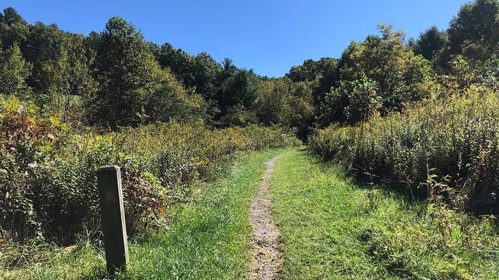
This is an out-and-back footpath between the Blue Ridge Music Center at Milepost 213 and the SR 612 (Foothills Road) trailhead. The official one-way distance is 1.35 miles, so walking the full route out and back is about 2.70 miles. Expect compacted dirt and leaf litter with roots, occasional rock, wetland pockets, short bridge or boardwalk sections, and easy grades. The trail is marked with red blazes and crosses or parallels Chestnut Creek; stepping-stone crossings can be slick and muddy after rain nps.gov blueridgemusiccenter.org.

Scenery shifts from open meadows and hayfields to wetland pockets and rhododendron-tucked woods. Spring through summer brings wildflowers and butterflies; year-round, it is quality birding with trailhead brochures to help identify what you are seeing. Kids can use the TRACK Trail activities available at both ends nps.gov.

Two signed junctions let hikers turn onto the Fisher Peak Loop. Stay on High Meadow Trail for the Music Center-to-SR 612 experience represented here, and do not follow the loop’s alternate branch nps.gov.

Access and parkingUse the Blue Ridge Music Center parking area for the main trailhead, or the signed SR 612…

Use the Blue Ridge Music Center parking area for the main trailhead, or the signed SR 612 trailhead parking area on Foothills Road. The National Park Service advises using the alternative SR 612 trailhead after 2:00 PM because the visitor-center gates close at 5:00 PM; the SR 612 access is also the dependable option from November through April nps.gov kidsinparks.com.

Need-to-knowThis is not a loop unless combined with the Fisher Peak Loop.

This is not a loop unless combined with the Fisher Peak Loop. Natural, uneven tread and narrow sections mean it is not wheelchair or stroller friendly. Expect mud and slick rock after rain, follow red blazes, and use care at stepping-stone crossings. Leashed pets are generally allowed on Blue Ridge Parkway trails; confirm posted rules on site blueridgeparkway.org.

Families, photographers, casual walkers, and birders will enjoy this mellow route. If you want a longer or more strenuous outing, use the signed Fisher Peak Loop junction rather than treating that loop as part of High Meadow.

Wildlife

Wildlife in Blue Ridge Parkway

All Blue Ridge Parkway wildlife maps

Sighting maps show where each species has been reported across Blue Ridge Parkway. Wildlife moves, so no sighting is guaranteed.

Parkwolf’s Blue Ridge Parkway ranking

Top-rated trails in Blue Ridge Parkway

All 112 trails
  1. 1Art Loeb TrailChallenging · 30.1 mi
  2. 2Rough Ridge TrailModerate · 1.2 mi
  3. 3Sharp Top TrailChallenging · 3 mi
  4. 4Tennent Mountain LoopModerate · 5 mi
  5. 5Daniel Boone Scout TrailChallenging · 7.2 mi
  6. 6Deep Gap Trail (Mount Mitchell)Challenging · 7.2 mi

Take Parkwolf to Blue Ridge Parkway.

The audio tour guide for the drive, plus offline maps, trails, and wildlife heatmaps for when the signal drops.

4.7 from 8,600+ ratings

Download Parkwolf on the App StoreGet Parkwolf on Google Play