Parking
Park at the Cumberland Knob Picnic Area near Blue Ridge Parkway Milepost 217.5. Begin near the old concession stand; the picnic area provides a shelter, picnic facilities, and seasonal restrooms.
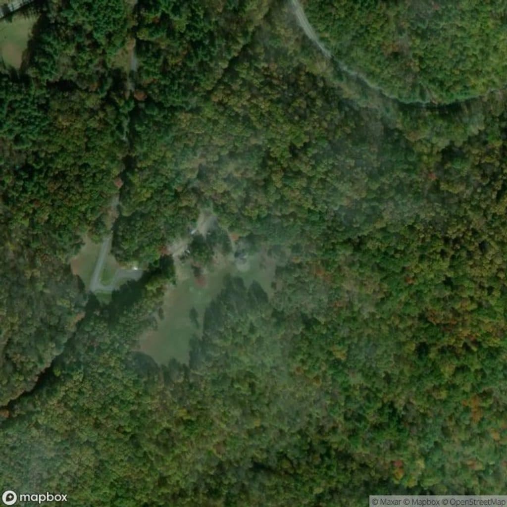
Blue Ridge Parkway, NC · VA
Strenuous creek loop with cascades, narrow trail, and many water crossings
Overview
Gully Creek is a strenuous 2.5-mile total loop at the Cumberland Knob Picnic Area on the Blue Ridge Parkway. Starting near the old concession stand, the route drops into a cool, wooded creek valley, follows Gully Creek past cascades and mossy rock, and returns by the west connector. The National Park Service describes seven or more water crossings, narrow trail, and substantial elevation change; allow about 2–3 hours and use extra care after rain. The Cumberland Knob Recreation Area includes picnic facilities, a shelter, and seasonal restrooms. There is no grand long-range overlook on this hike—the reward is the stream, cascades, forest, and quiet Parkway history.
Map & elevation
Plan your hike

The highest, rockiest slopes around here are a summer buffet for grizzly bears.
Blue Ridge Parkway Tour Guide
Parkwolf is a GPS audio tour guide for Blue Ridge Parkway. As you drive, it chimes in with what’s ahead: hidden gems, upcoming stops, history, geology, and wildlife, right through your car’s speakers.
See the Blue Ridge Parkway audio tourRecorded for this trailhead
Cumberland Knob: The Parkway's Starting Point“The spot you're coming to, Cumberland Knob, is where the whole story of the Parkway began; the very first shovelful of dirt for the road was turned right here in 1935.”
Plays as you drive up to this trailhead in the Parkwolf Blue Ridge Parkway Tour Guide.
More stories near here in the app
“…We knew we wanted to drive the Blue Ridge Parkway. The narration was impeccably timed. The facts and info provided were meaningful. Without it, the trip would not have been near as awesome.”


Wildlife
 1,208 sightingsBlack BearMost seen around 7 AMSighting map
 1,020 sightingsElkMost seen around 7 AMSighting map
 2,257 sightingsWhite-tailed DeerMost seen around 6 PMSighting map
 200 sightingsCoyoteMost seen around 6 PMSighting map
 1,126 sightingsWild TurkeyMost seen around 7 AMSighting map
 255 sightingsRed-tailed HawkMost seen around 11 AMSighting map
Sighting maps show where each species has been reported across Blue Ridge Parkway. Wildlife moves, so no sighting is guaranteed.
Keep exploring
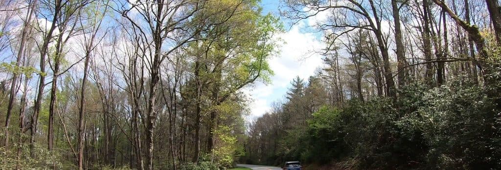 EasyCumberland Knob Loop Trail0.9 mi · 45 min · At the trailheadEasy paved loop to Cumberland Knob with CCC history and a picnic-area start
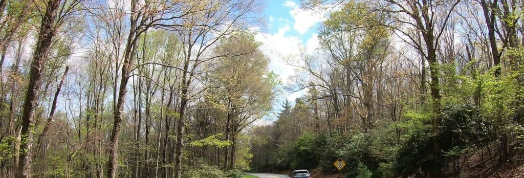 ChallengingGully Creek Trail2.5 mi · 2.5 hr · 0.1 mi awayStrenuous 2.5-mile loop of cascades, creek crossings, and deep shade
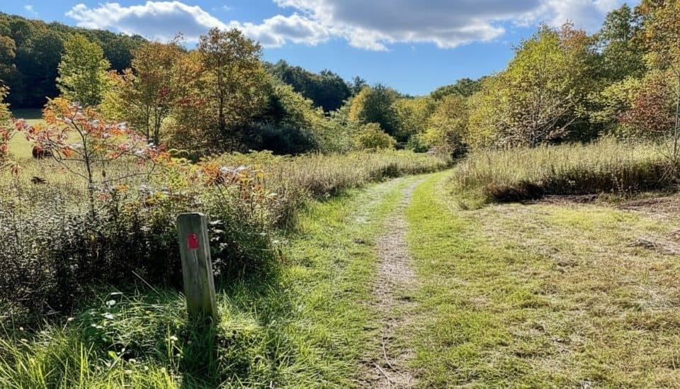 EasyFisher Peak Loop Trail2.2 mi · 2 hr · 3.4 mi awayModerate loop through High Meadow and Fisher Peak forest
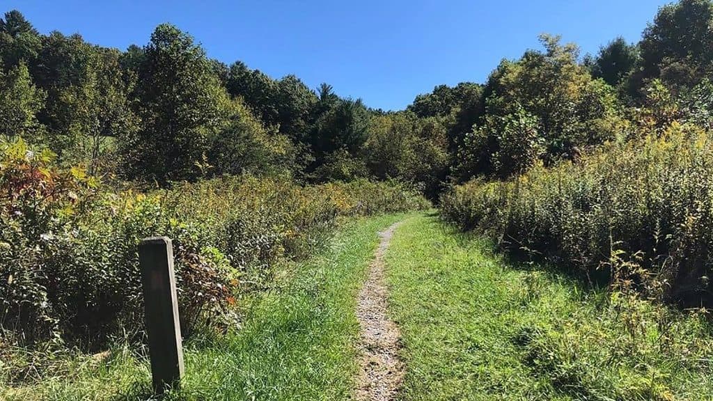 EasyHigh Meadow Trail2.7 mi · 1.5 hr · 3.4 mi awayMeadow and woodland stroll with music drifting from the stage
 EasyLittle Glade Mill Pond Trail0.3 mi · 10 min · 10.3 mi awayA quiet, quarter-mile loop around a historic mill pond.
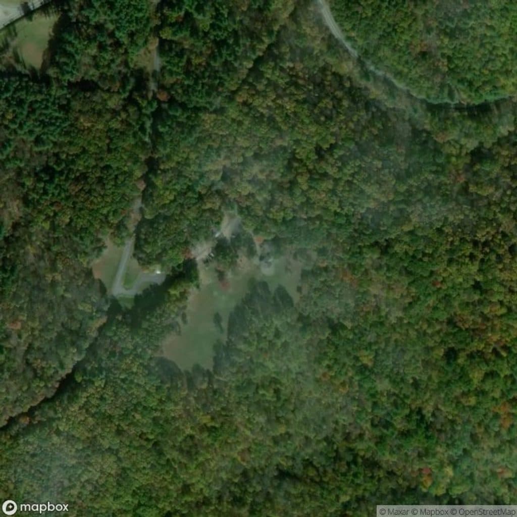 Visitor center · At the trailheadCumberland Knob Visitor CenterHistoric starting point with trails and shady picnic grounds
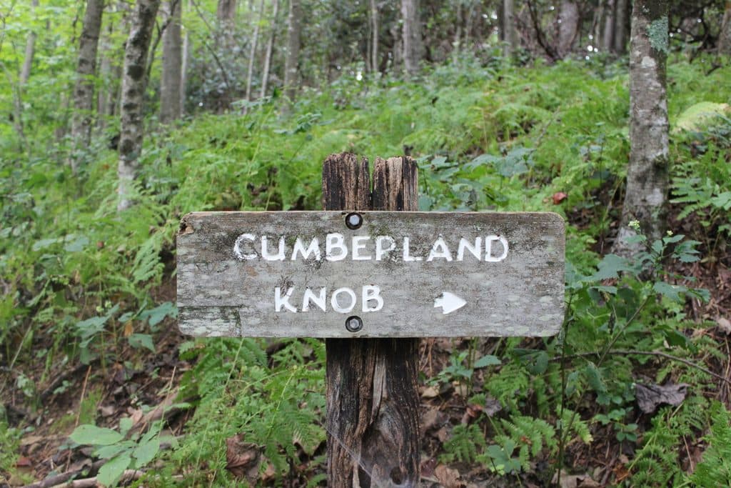 Picnic area · At the trailheadCumberland Knob Picnic AreaShady and sunny picnic hub with trails and Parkway history
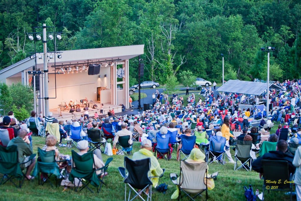 Sight · 3.4 mi awayBlue Ridge Music CenterLive mountain music, museum, and trails at MP 213
Parkwolf’s Blue Ridge Parkway ranking

The audio tour guide for the drive, plus offline maps, trails, and wildlife heatmaps for when the signal drops.





