Best time to visit
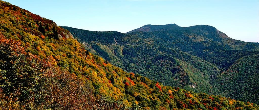
Aim for early morning or late afternoon for the best light and fewer people. Clear, low‑humidity days deliver the longest views; autumn’s color is a standout. If fog rolls in, give it time—conditions here can flip quickly.

Scenic pullout · Blue Ridge Parkway
High-elevation pullout with ridgeline views and a two-hump namesake
Overview
Perched around 5,300 feet at milepost 425.4, Rough Butt Bald Overlook is a classic Parkway pullout with long, layered mountain ridges when the view is open. The namesake bald presents a distinctive two‑humped profile, and the overlook’s quirky tilted sign conveniently points your sightline toward it.
Locals use “butt” to describe a mountain that “breaks off” sharply—fitting for this landscape. From this pullout, Rough Butt Bald’s two-hump skyline is easy to pick out if you line up your gaze over the top of the sign.
 Parkwolf’s verdictWhat’s Unique Here
Map
Local know-how
Line up your view over the top of the sign to spot the two-humped bald.
If trees block the vista, check neighboring overlooks within a couple of miles.
Come at golden hour—sunset is especially good here.
Bring water and pack out trash; there are no facilities.
Plan your stop

The highest, rockiest slopes around here are a summer buffet for grizzly bears.
Blue Ridge Parkway Tour Guide
Parkwolf is a GPS audio tour guide for Blue Ridge Parkway. As you drive, it chimes in with what’s ahead: hidden gems, upcoming stops, history, geology, and wildlife, right through your car’s speakers.
See the Blue Ridge Parkway audio tourRecorded for this place
Rough Butt Bald's Tilted Sign and Fading View“The stop ahead is Rough Butt Bald Overlook. That name is an old local term for a mountain that breaks off sharply. You should be able to spot the namesake bald—it’s the one with two humps.”
Plays as you drive up to Rough Butt Bald Overlook (MP 425.4) in the Parkwolf Blue Ridge Parkway Tour Guide.
More stories near here in the app
“…We knew we wanted to drive the Blue Ridge Parkway. The narration was impeccably timed. The facts and info provided were meaningful. Without it, the trip would not have been near as awesome.”


Guide
While not an official trailhead, hikers often use this stop to access nearby routes in the Middle Prong area, including the Buckeye Gap Trail and sections of the Mountains‑to‑Sea Trail. Expect everything from easy rambles to demanding loops in the surrounding wilderness.
Field reports note that vegetation has grown up and blocks much of the overlook, a trend affecting several neighboring pullouts in this stretch. Sightlines can still be rewarding, but manage expectations or plan to sample adjacent overlooks within a couple of miles for better angles.
Typical Parkway forests here can host songbirds, wild turkey, deer, and the occasional black bear—most likely encountered on the nearby trails during quieter hours.
There are no services at this overlook—no water, restrooms, or trash cans—and parking is limited. Weather and fog can change fast at this elevation, occasionally erasing the view.
Wildlife
 1,208 sightingsBlack BearMost seen around 7 AMSighting map
 1,020 sightingsElkMost seen around 7 AMSighting map
 2,257 sightingsWhite-tailed DeerMost seen around 6 PMSighting map
 200 sightingsCoyoteMost seen around 6 PMSighting map
 1,126 sightingsWild TurkeyMost seen around 7 AMSighting map
 255 sightingsRed-tailed HawkMost seen around 11 AMSighting map
Sighting maps show where each species has been reported across Blue Ridge Parkway. Wildlife moves, so no sighting is guaranteed.
Keep exploring
 ModerateFlat Laurel Creek Trail3.7 mi · 3.5 hr · 1.9 mi awayA creekside route from NC 215 to Black Balsam’s high country
 ModerateDevil's Courthouse Trail1 mi · 1 hr · 2.4 mi awayA steep, mostly paved climb from the Parkway to a four-state panorama.
 ModerateSam Knob Trail2.5 mi · 1.3 hr · 3.7 mi awayA short climb to a high bald with wide Blue Ridge views.
 ModerateBlack Balsam Knob via Art Loeb1.6 mi · 1 hr · 3.9 mi awayShort out-and-back climb to a 6,214-foot bald with sweeping 360-degree views
 ModerateTennent Mountain Loop5 mi · 2.5 hr · 3.9 mi awayTwo open balds, big views, and a rocky five-mile loop
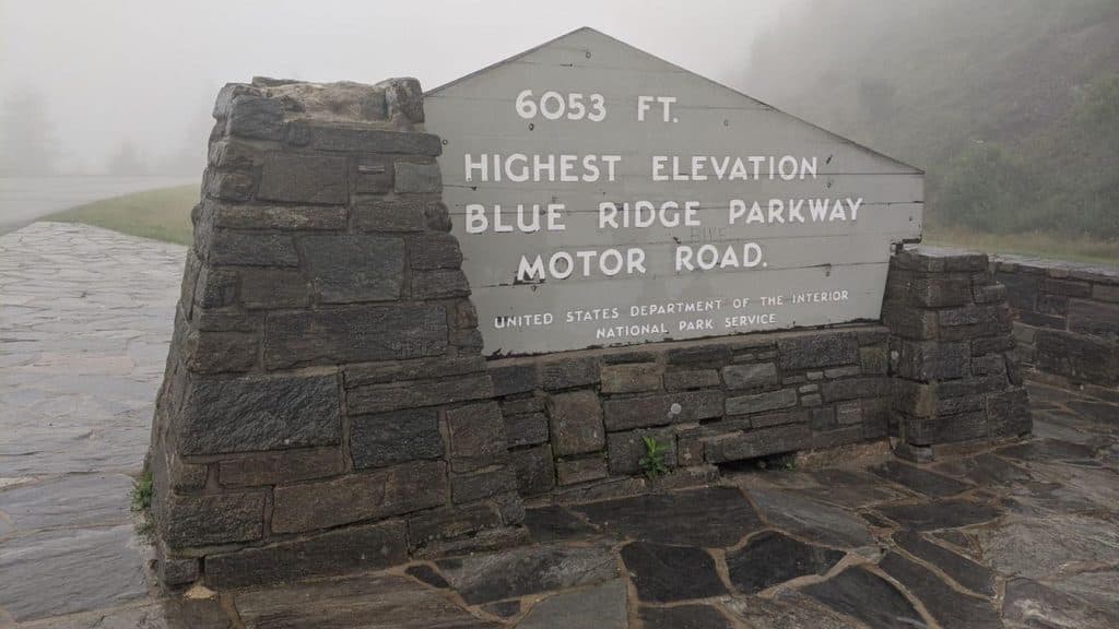 ModerateRichland Balsam Nature Trail1.5 mi · 1.2 hr · 4.6 mi awayShort spruce-fir lollipop loop to the Parkway’s highest summit
 Scenic pullout · 0.5 mi awayWolf Mountain Overlook (MP 424.8)Overlook with layered ridges and a rare roadside hanging garden
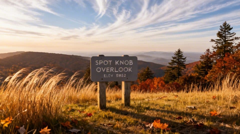 Sight · 1.9 mi awaySpot Knob (MP 427.8)Low-key roadside viewpoint, better with fall color
 Scenic pullout · 2.5 mi awayBeartrap Gap Overlook (MP 428.5)Quiet pullout with moody, close-in ridge views and frequent fog
 Sight · 2.7 mi awayDevil's CourthouseShort, steep climb to a cliff-top panorama across four states
 Scenic pullout · 4.2 mi awayBeartrail Ridge Overlook (MP 430.4)Quiet, high-elevation pullout with sweeping Balsam Mountain vistas
 Scenic pullout · 4.4 mi awayCowee Mountains OverlookPanoramic, 180° Blue Ridge layers from a high, southeast-facing pullout
 Scenic pullout · 4.6 mi awayHaywood Jackson OverlookHigh-elevation overlook and trailhead with great sunrise views
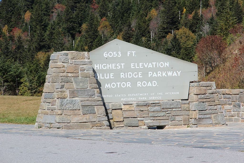 Scenic pullout · 4.9 mi awayRichland Balsam Overlook - Highest Point on the Parkway (MP 431.4)Parkway’s highest pullout with cool air and big views
Parkwolf’s Blue Ridge Parkway ranking
The audio tour guide for the drive, plus offline maps, trails, and wildlife heatmaps for when the signal drops.