Parking
Park at Walker Knob Overlook on the Blue Ridge Parkway; the signed Big Butt Trail starts on the left side of the lot, separate from the Mountains-to-Sea Trail. Paved parking can fill on busy weekends, so arrive early.

Blue Ridge Parkway, NC · VA
High-elevation ridge hike to a rocky overlook with big views
Overview
Looking for a quieter Blue Ridge Parkway hike that still delivers real views? The out-and-back to Little Butt follows the crest of the Black Mountains through cool, high-elevation forest to a rocky perch with expansive vistas. It is a moderately strenuous effort with meaningful elevation change, but you will trade the crowds of nearby Craggy Gardens and Mount Mitchell for solitude, spruce–fir aromas, and ridge-top breezes.
 Parkwolf’s verdictWhy hike it
Map & elevation
Plan your hike

The highest, rockiest slopes around here are a summer buffet for grizzly bears.
Blue Ridge Parkway Tour Guide
Parkwolf is a GPS audio tour guide for Blue Ridge Parkway. As you drive, it chimes in with what’s ahead: hidden gems, upcoming stops, history, geology, and wildlife, right through your car’s speakers.
See the Blue Ridge Parkway audio tourRecorded for this trailhead
Walker Knob Overlook and the Big Butt Trail“The overlook you're approaching is Walker Knob, one of those quieter pullouts with really big mountain views. What makes it a great stop is that it's also a major trail access point.”
Plays as you drive up to this trailhead in the Parkwolf Blue Ridge Parkway Tour Guide.
More stories near here in the app
“…We knew we wanted to drive the Blue Ridge Parkway. The narration was impeccably timed. The facts and info provided were meaningful. Without it, the trip would not have been near as awesome.”


Trail guide
This out-and-back begins at Walker Knob Overlook on the Blue Ridge Parkway and follows Big Butt Trail to the Little Butt overlook. Plan for about 4.8 miles round trip, roughly 1,300 feet of total ascent, and about 4 hours for most hikers. The trailhead sign says “Little Butt 3 miles,” a slight overestimate of the mapped visitor route. The path is natural-surface singletrack with roots, rocks, constructed steps, and some overgrown stretches typical of high-elevation Appalachian trails. It is blazed, but a map or GPS helps on a first visit.
The trail descends through fir–spruce forest near the Parkway, then undulates along the ridge and climbs over Point Misery, the high point of the hike. After a steep descent and another stair-stepped climb, the route reaches Little Butt’s broad rock outcrop. The overlook opens toward Mount Mitchell and the Black Mountains; spring wildflowers, summer shade, and cooler temperatures add to the high-country feel.
Expect a strenuous-for-its-length outing: sustained climbs, uneven tread, roots, rocks, and stairs make it a 7/10 effort for many hikers. The trail is manageable for fit hikers and older kids who are comfortable on rough ground, but the exposed overlook and steep sections call for close attention. Compared with better-known Parkway stops, this route is usually a quieter choice.
If you want a cooler, high-country ridge walk with a genuine overlook and fewer crowds, Little Butt is a rewarding Blue Ridge Parkway outing. Big Butt continues beyond the destination but is overgrown and does not add comparable views.
Wildlife
 1,208 sightingsBlack BearMost seen around 7 AMSighting map
 1,020 sightingsElkMost seen around 7 AMSighting map
 2,257 sightingsWhite-tailed DeerMost seen around 6 PMSighting map
 200 sightingsCoyoteMost seen around 6 PMSighting map
 1,126 sightingsWild TurkeyMost seen around 7 AMSighting map
 255 sightingsRed-tailed HawkMost seen around 11 AMSighting map
Sighting maps show where each species has been reported across Blue Ridge Parkway. Wildlife moves, so no sighting is guaranteed.
Keep exploring
 ModerateOld Mitchell Trail4 mi · 2.5 hr · 3.2 mi awayA rocky climb to Mount Mitchell’s high-elevation summit
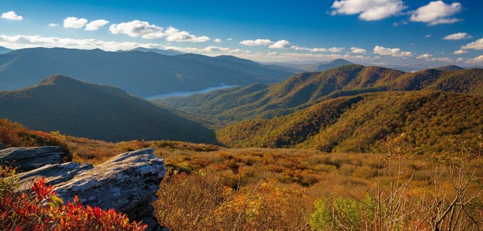 EasyPinnacle Trail1.4 mi · 45 min · 3.8 mi awayShort climb, giant views, and classic rhododendron tunnels
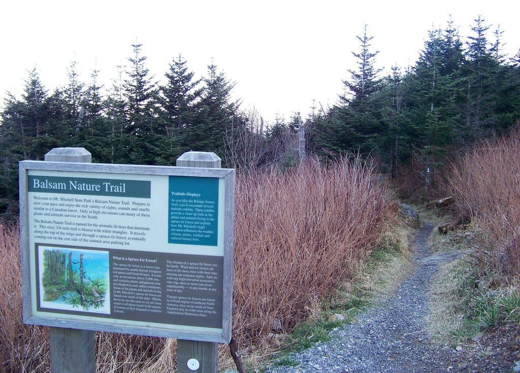 EasyBalsam Nature Trail (Mount Mitchell)0.8 mi · 30 min · 4 mi awayShort, moderate summit loop through rare Fraser fir and red spruce forest
 ChallengingDeep Gap Trail (Mount Mitchell)7.2 mi · 5.5 hr · 4.1 mi awayRugged high-elevation crest hike from Mount Mitchell to Deep Gap
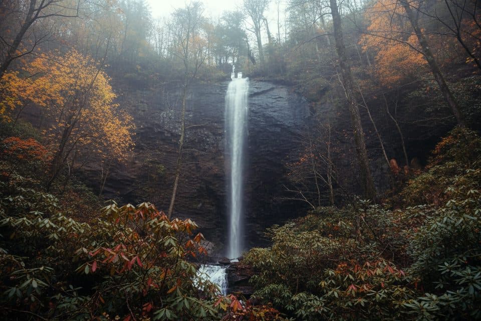 ChallengingDouglas Falls Trail6.6 mi · 5.5 hr · 4.2 mi awayRugged trek to a 70-foot waterfall through wild, hemlock forest
 ModerateCraggy Gardens Trail1.6 mi · 1 hr · 4.3 mi awayRhododendron-lined out-and-back from the visitor center to Craggy Gardens Picnic Area
 ChallengingSnowball Mountain Trail2.7 mi · 2 hr · 5 mi awayA short ridge hike to Hawkbill Rock, with a steep climb
 ModerateRattlesnake Lodge Trail1.6 mi · 1.5 hr · 9.2 mi awayShaded Blue Ridge Parkway loop to historic Rattlesnake Lodge ruins
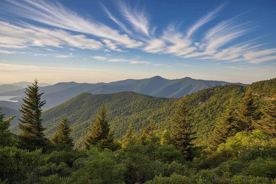 Scenic pullout · At the trailheadWalker Knob Overlook (MP 359.8)Quiet overlook with big views and trail access
 Scenic pullout · 1.1 mi awayGlassmine Falls Overlook (MP 361.2)Roadside perch for a distant, rain-fed ribbon of waterfall
 Scenic pullout · 3.1 mi awayGraybeard Mountain View (MP 363.4)Head-on views of Graybeard and the Seven Sisters
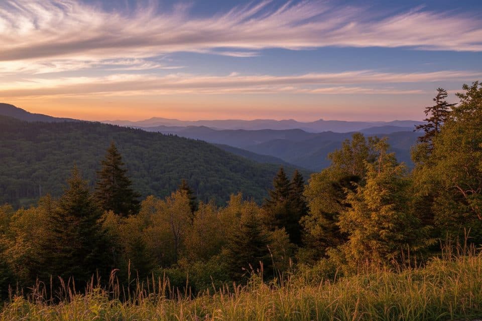 Scenic pullout · 3.8 mi awayRidge Junction Overlook (MP 355.3)Close views of the Black Mountains near the Mount Mitchell spur
 Sight · 4 mi awayCraggy Pinnacle OverlookShort hike to a 360-degree summit with knockout mountain views
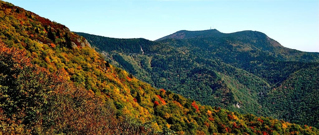 Sight · 4 mi awayMount MitchellShort walk to the East’s highest peak and sweeping 360-degree views
 Visitor center · 4.2 mi awayCraggy Gardens Visitor’s Center;Craggy GardensHigh-elevation views and June rhododendron blooms with easy hikes
 Sight · 4.3 mi awayMount Mitchell State ParkEasy summit of the East’s highest peak with sweeping views
Parkwolf’s Blue Ridge Parkway ranking
The audio tour guide for the drive, plus offline maps, trails, and wildlife heatmaps for when the signal drops.




