
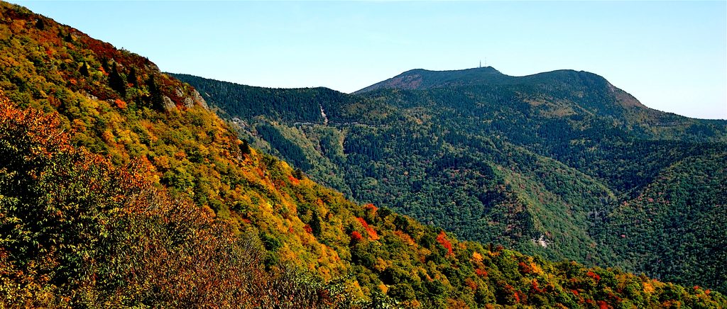
Place · 0 mi away
Easy
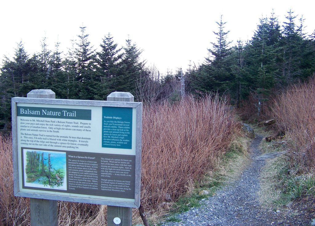
If you want a quick, immersive taste of true high‑country forest without committing to a big climb, this loop delivers. The Balsam Nature Trail packs a lot into 0.75 miles (total, loop): fragrant Fraser fir and red spruce, moss‑draped logs, interpretive signs, and moody summit weather that can flip from sunshine to mist in minutes. It’s a short, rewarding add‑on to your Mount Mitchell summit visit and a great intro to the rare spruce‑fir ecosystem found above roughly 5,500 feet in the Southern Appalachians.
Start near the lower summit parking area by the paved Summit Trail. From the Summit Trail, follow signs—bearing left at the Mountains‑to‑Sea junction—to enter the Balsam Nature Trail loop. The path is well marked with white triangle blazes. Expect an easy overall outing with a few moderate moments: rock and root hops, stair steps, and short ups and downs. Most hikers finish in about 30 minutes at a relaxed pace.
This is a dense, cool spruce‑fir forest—think Fraser fir and red spruce overhead, ferns, mosses, and lichens underfoot. You’ll likely notice areas of stunted or dead trees; harsh weather and historic air pollution have shaped this ecosystem, and those snags now feed the forest’s birds and fungi. The self‑guided signs highlight the plants, animals, and geology around you. Near the end of the loop, a short spur reaches a tiny stream recognized as the highest spring east of the Mississippi, flowing at a steady 37°F—fun to see, not for drinking.
Spring through fall is the sweet spot when the Blue Ridge Parkway and Mount Mitchell State Park roads are open. Summer stays cool and damp; early fall can bring crisp air and clearer skies. In winter, expect frequent fog, ice, and snow; road access can change quickly, and Parkway closures are common. Even on mild days down low, it can be chilly and wet at the summit—layer up.
Pair this loop with the paved Summit Trail to the observation deck, or, if you want more miles, start a longer hike from the same area on the Deep Gap Trail toward Mount Craig and Big Tom.
Park at the lower summit parking area in Mount Mitchell State Park; the loop drops from the paved Summit Trail and returns to the parking area.
Weather changes fast at the summit—fog, wet rock, ice, and chilly temps are common year-round. Trail has steps, rocks, and roots; not wheelchair accessible. The spring spur is for observation only—bring your own drinking water.
Place · 0 mi away
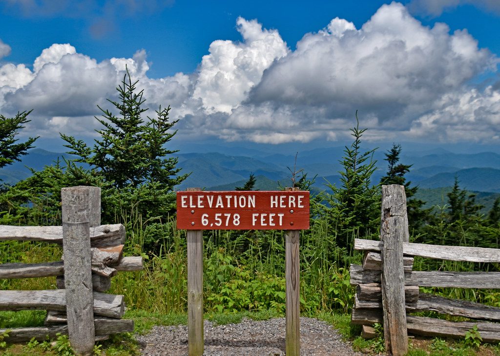
Place · 0.5 mi away
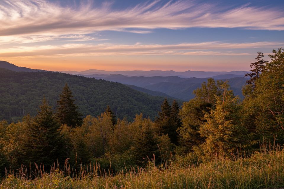
Place · 3.4 mi away
Place · 3.9 mi away
Challenging · 0 mi away
Challenging · 4 mi away
Challenging · 4 mi away
Challenging · 6.6 mi away

Parkwolf Tour Guide
