Parking
Start at Murrays Beach car park, where toilets are available. Follow the short signed access spur to the loop; from the lot, the full route including the spur out and back is about 6.1 km.
#1 of 14 trails in Booderee
Booderee National Park, JBT
Fourteen signs, coastal heath and a wide view into Jervis Bay.
Overview
Munyunga waraga dhugan Loop Walk circles the southern headland of Jervis Bay from Murrays Beach toward Governors Head and back. The full walk from the car park is about 6.1 km: the marked circuit is 5.4 km, with roughly 300 m of access each way. Allow about 2.5 hours for the circuit and 2.75 hours from the lot, more if you linger at the lookout and the 14 interpretation signs. It is Grade 2, with gentle rises and mostly firm management track. I’d pick it for an easy half-day that combines coastal views with a real sense of place, rather than a quick stop at one lookout.
 Parkwolf’s verdictIs this the walk for you?
Map & elevation
Plan your hike

The highest, rockiest slopes around here are a summer buffet for grizzly bears.
Booderee Tour Guide
Parkwolf is a GPS audio tour guide for Booderee National Park. As you drive, it chimes in with what’s ahead: hidden gems, upcoming stops, history, geology, and wildlife, right through your car’s speakers.
Recorded for this trailhead
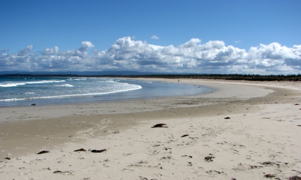
Murrays Beach and Bowen Island“You're coming up on Murrays Beach, with white sand and Bowen Island across the water. It's a five-minute walk from the car park, so this is an easy beach stop without a long hike.”
Plays as you drive up to this trailhead in the Parkwolf Booderee Tour Guide.
More stories near here in the app
“Fantastic app with many points of information… It’s great to just turn on while you’re driving and it gives you an audio tour of the national Park. We love it!!!!”


Trail guide
The signed route goes anticlockwise. That brings you through the wooded sections before the more open coastal heath and gives the stronger views into the bay. A visitor who walked clockwise found it slightly easier, but said the bay views were less rewarding from that direction. Take the short ramp and spur from the car park to reach the circuit. The beach branch is an optional stop for a swim or a look along the shore; it is separate from the loop distance. If you only want Governors Head, there is also a shorter 1.1 km walk from the car park to the lookout, then back the same way.
The walk starts and ends under trees, mostly on broad management track, with a shorter formed path near the beach. The middle section opens into low coastal heath on the headland. The ground stays fairly straightforward, but it is not shaded all the way; parts of the coast are in full sun. Follow the directional signs at the branches, especially where the beach access leaves the main route. The circuit is long enough to feel like a proper walk without a strenuous climb or technical scramble.
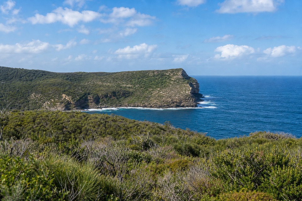
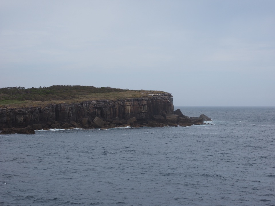
Governors Head is the standout pause, with a wide view across Jervis Bay, Bowen Island and the open ocean. The cliffs are close to the path in places, with big drops below. Stay on the marked track and keep children close. From the signed lookout, frame Bowen Island across the water with a strip of headland or sea in the foreground; there is no need to approach the edge for a photo.
Munyunga waraga dhugan means “white-bellied sea eagle’s home camp” in the Dhurga language of the Wreck Bay Aboriginal people. The 14 signs along the route interpret Booderee’s plants, animals, culture and history. They give the loop more to notice than the scenery alone, so build in time to stop and read rather than treating the signs as trail markers to pass at a jog.
The low heath is a good place to notice flowering Banksia and Lambertia, also called Mountain Devil. Wallabies have been seen beside the track. In the wooded sections, look for scribbly gums and tree hollows. From Governors Head, seabirds are a more realistic focus than expecting a close wildlife encounter; little penguins breed on Bowen Island, and seals, dolphins and whales are also possible in the bay. An early start may improve your chance of seeing the endangered eastern bristlebird, but none of these sightings is guaranteed.
There are toilets at Murrays Beach car park, but no drinking-water refill on the route; bring what you need. Some stretches are exposed to sun, and the coastal edge deserves care even though the grade is easy. Pets are not permitted in the park. If you drive in, you need a vehicle park pass; people entering on foot or by bicycle do not. The separately marked 300 m beach access and 1.1 km Governors Head walk are useful shorter choices, but they are not substitutes for the full loop described here.
Wildlife
 202 sightingsGrey KangarooMost seen around 6 PMSighting map
 26 sightingsEchidnaMost seen around 6 AMSighting map
 16 sightingsRed-necked WallabyMost seen around 6 PMSighting map
 116 sightingsSwamp WallabyMost seen around 6 PMSighting map
 93 sightingsKookaburraMost seen around 6 AMSighting map
 22 sightingsYellow-tailed Black CockatooMost seen around 5 PMSighting map
Sighting maps show where each species has been reported across Booderee. Wildlife moves, so no sighting is guaranteed.
Keep exploring
EasyMurrays Beach to Governors Head Walk2.2 km · 45 min · At the trailheadShort beach walk to a clifftop view across Bowen Island.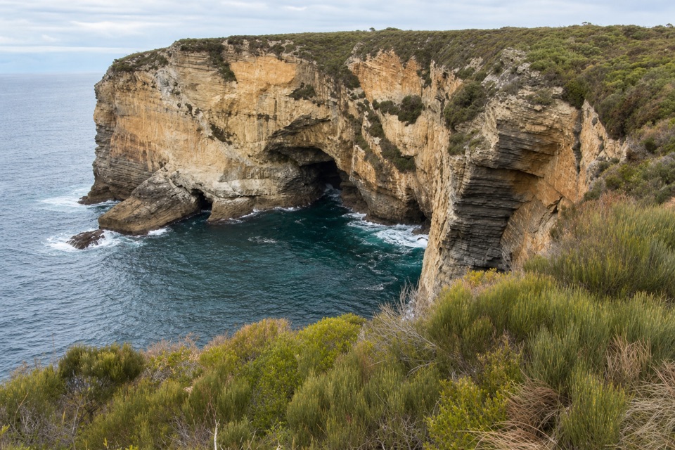 EasyMurrays Car Park to Hole in the Wall Low-Tide Walk2.2 km · 1 hr · 0.1 km awayA short low-tide shore walk to a sandstone opening.
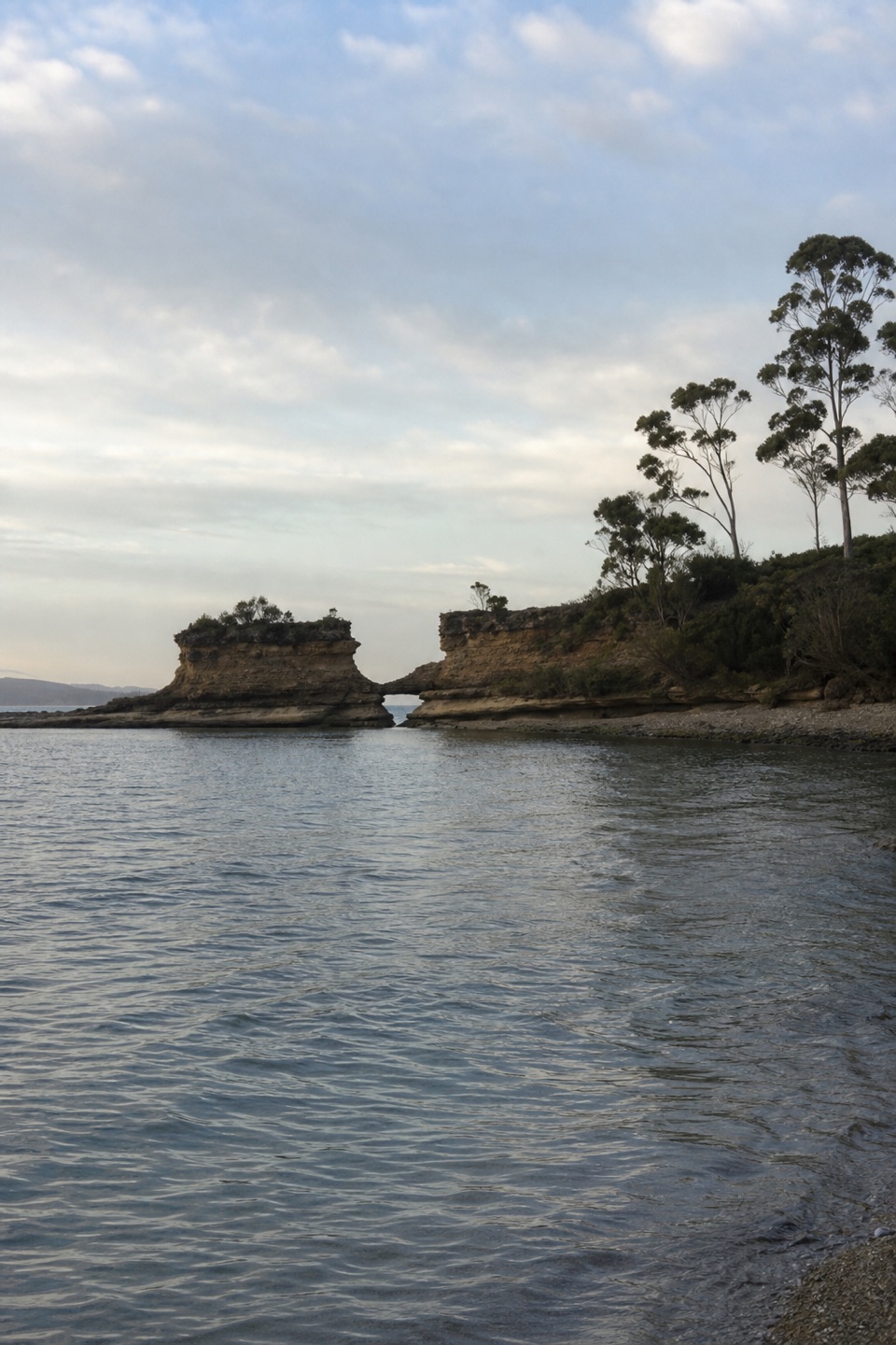 EasyHole in the Wall Track0.9 km · 20 min · 1.4 km awayA short gravel out-and-back to sheltered Hole in the Wall Beach.
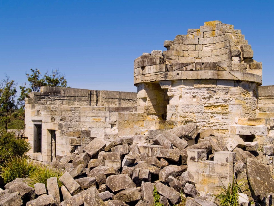 EasyCape St George Historic Lighthouse Walk0.7 km · 21 min · 2.8 km awayA short walk through lighthouse ruins above the open coast.
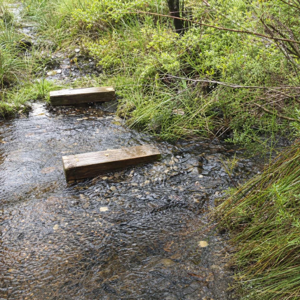 EasyTelegraph Creek Nature Trail2.4 km · 1 hr · 3.3 km awayAn easy loop through creekside forest, swamp and spring heath.
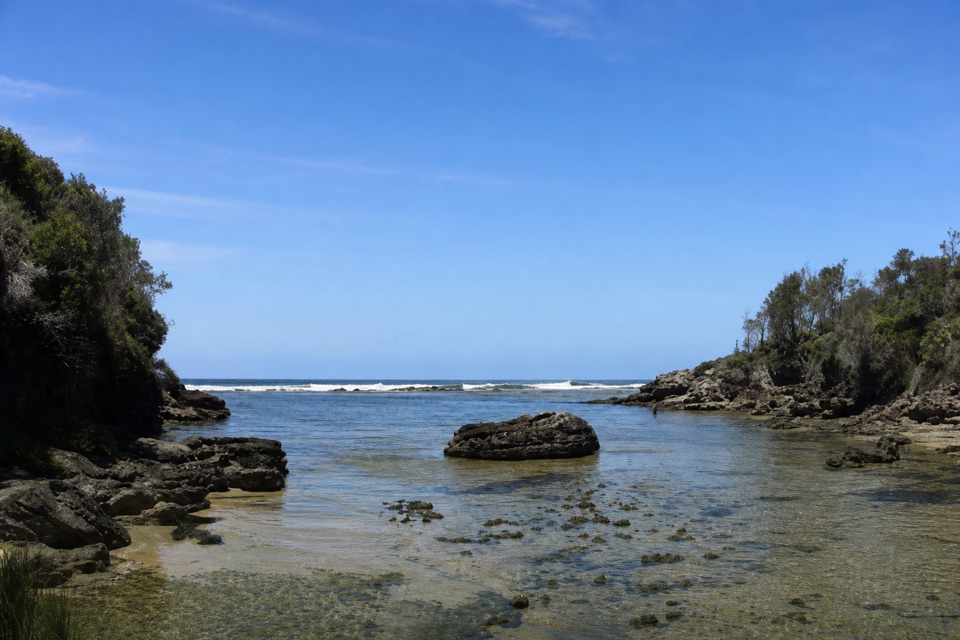 EasyStony Creek Walk0.5 km · 45 min · 4.5 km awayA quick walk to a sheltered rocky creek inlet.
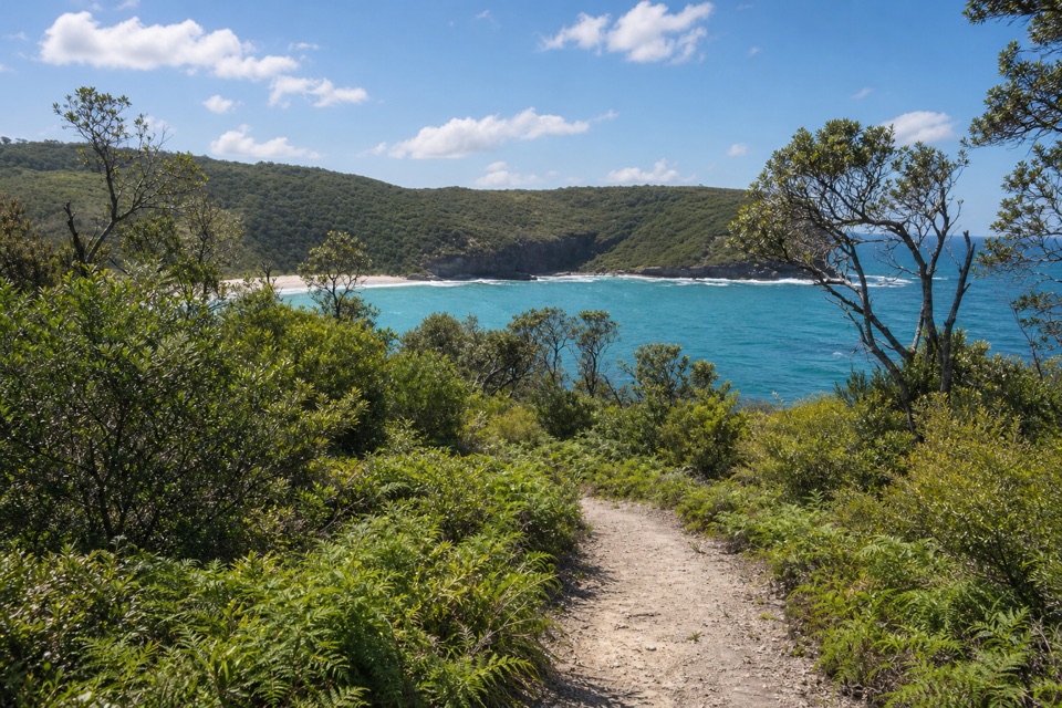 ModerateSteamers Beach Walk4.6 km · 2 hr · 5 km awayA shaded bush track ends on an isolated, cliff-backed beach.
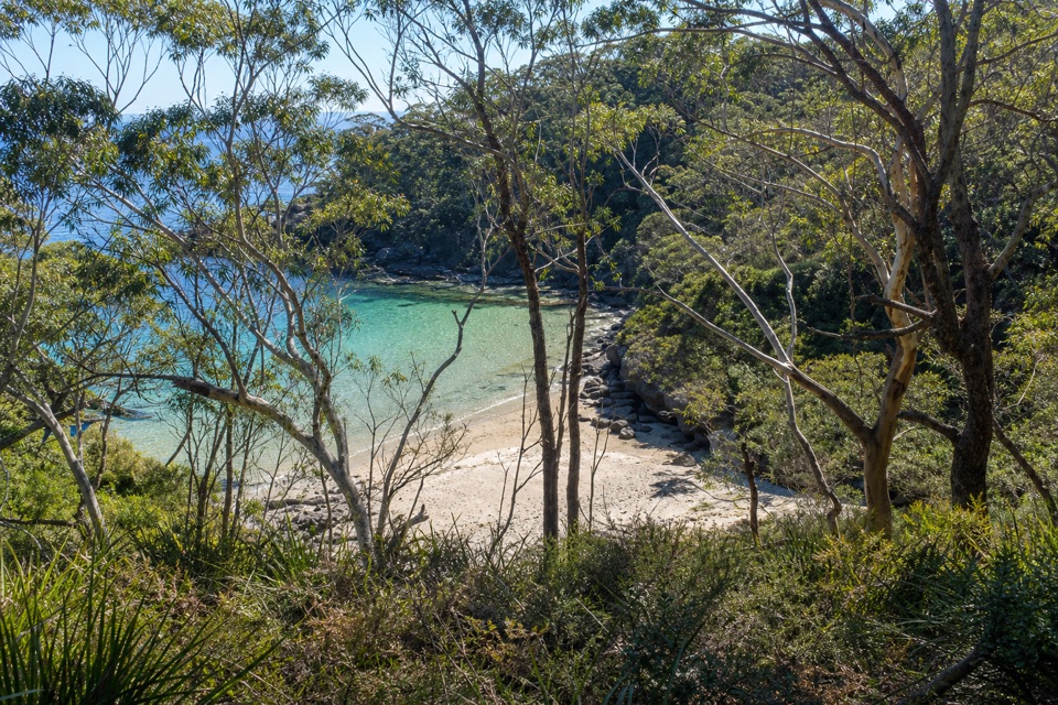 ModerateBooderee Circuit Trail11.4 km · 4 hr · 5 km awayFrom eucalypt shade to sea cliffs and Blacks Waterhole.
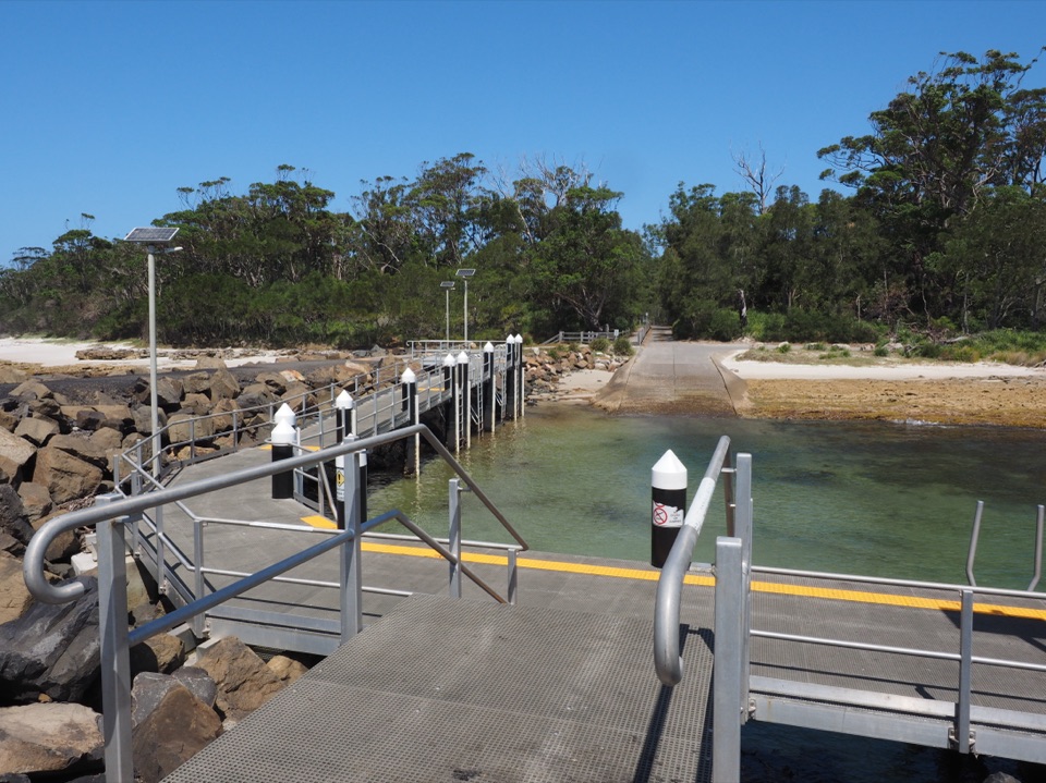 Sight · 0.3 km awayMurrays Boat RampA boat ramp on the low-tide walk to Murrays Beach.
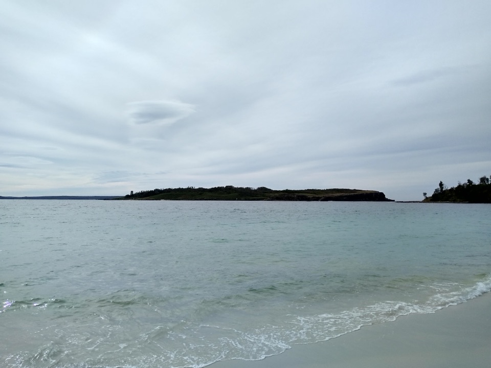 Beach · 0.4 km awayMurrays BeachFive minutes from parking to white sand and island views.Sight · 0.8 km awayGovernors Head LookoutA short coastal walk to Bowen Island’s cliffs and sea views.
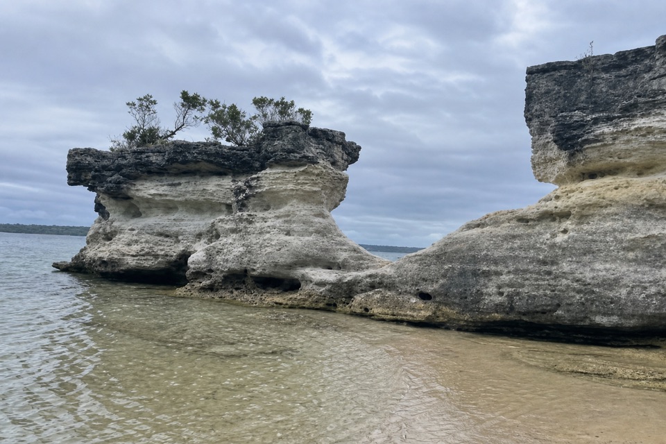 Beach · 1 km awayHole in the WallA crescent beach ends at a sandstone opening worn into a U.
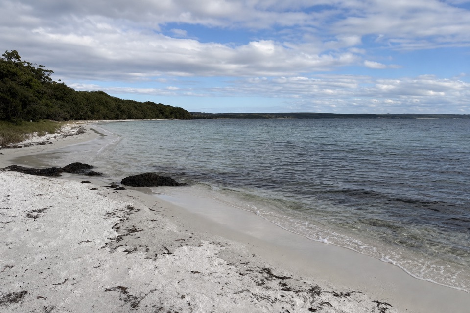 Beach · 1.7 km awayScottish RocksRock platforms, snorkelling and shallow pools make this beach different.
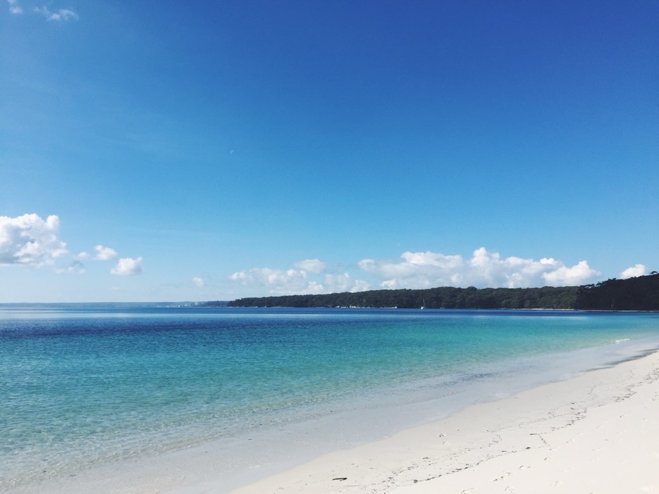 Beach · 2.7 km awayBristol Point BeachA secluded beach worth the short, low-tide walk.
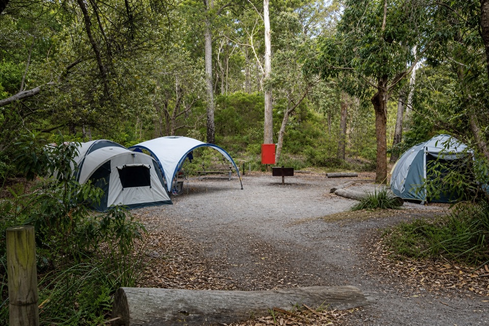 Campground · 2.8 km awayBristol Point CampgroundA bushland base within walking distance of two beaches.Sight · 2.9 km awayCape St George LighthouseA ruined 1860 lighthouse with coastal views and seasonal whale watching.
Parkwolf’s Booderee ranking
The audio tour guide for the drive, plus offline maps, trails, and wildlife heatmaps for when the signal drops.