Parking
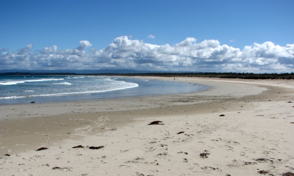
Start at Steamers Beach car park, the access for the marked headland walks. A vehicle pass is required to drive into the park; car park capacity and parking-specific fees were not found.
#5 of 14 trails in Booderee
Booderee National Park, JBT
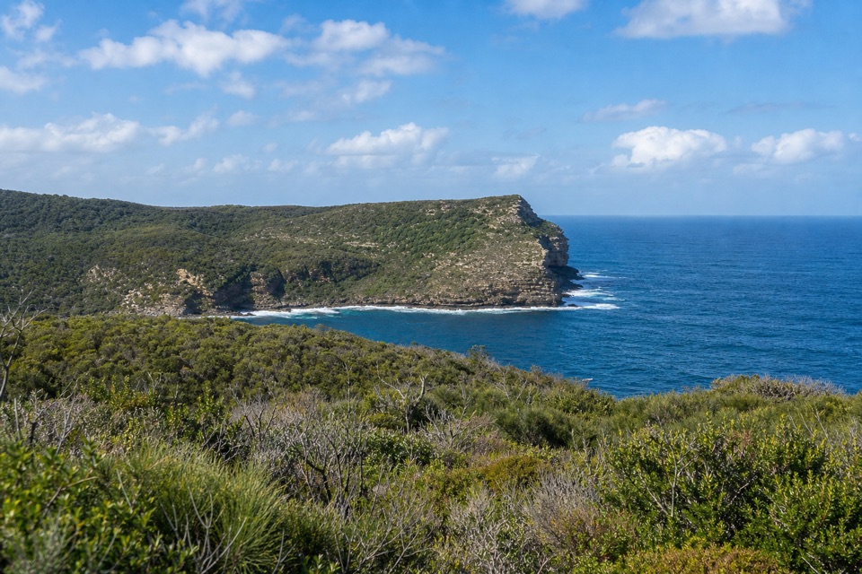
Ocean cliffs after miles of quiet, undulating management track.
Overview
Map & elevation
Plan your hike

The highest, rockiest slopes around here are a summer buffet for grizzly bears.
Booderee Tour Guide
Parkwolf is a GPS audio tour guide for Booderee National Park. As you drive, it chimes in with what’s ahead: hidden gems, upcoming stops, history, geology, and wildlife, right through your car’s speakers.
Recorded for this trailhead
Steamers Beach: The Walk to the Cove“You're approaching the car park for Steamers Beach, an isolated shore below high cliffs and steep dunes.”
Plays as you drive up to this trailhead in the Parkwolf Booderee Tour Guide.
More stories near here in the app
“Fantastic app with many points of information… It’s great to just turn on while you’re driving and it gives you an audio tour of the national Park. We love it!!!!”


Trail guide
From Steamers Beach car park, this is an 8.6-mile (13.9 km) out-and-back to St Georges Head and back along the same track. It follows the marked Booderee Circuit corridor through eucalypt forest and coastal scrub before reaching an open, rocky stretch of south coast. Allow about five hours with stops. The route's main commitment is its length: expect several kilometres of broad management track before the most dramatic sea views, then the same distance home. The park's 11.4 km Circuit Trail is a separate loop that returns via Blacks Waterhole.
The opening part is broad and shaded, then the track rolls through repeated rises and dips. Long fire-trail sections are exposed, and the smooth-looking tread does not make this a quick walk. At signed splits, stay with the headland route; shorter beach and lookout spurs belong to the wider marked network and add distance. The park grades the headland sections Grade 3, and recommends carrying food and plenty of water for the walk.
Brooks Lookout is about 1.4 km from the car park, roughly a half-hour walk, and gives the first expansive coastal view. From there the route continues southwest toward the headland. Expect the track itself to occupy long stretches between viewpoints, with the coast becoming the main feature as you reach the southern end. Save time for the lookout rather than treating it as a quick photo stop on a rushed turnaround.
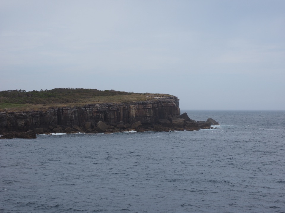
St Georges Head is the payoff: rocky cliffs and outcrops rise from the ocean beneath a broad coastal horizon. Marked side trails in the larger headland network reach Corangamite and Kittys Point, but they extend the outing beyond the mapped head-only route. Keep to marked paths near cliffs and rock platforms. Waves can sweep across exposed shelves; never turn your back on the sea there. For a photo, include a little of the low coastal scrub with the rocky headland and open water so the point's shape reads clearly.
The Bherwerre Peninsula's bedrock includes Permian marine sandstone, siltstone and conglomerate. Sandy soil covers much of the park, while coastal cliffs and platforms expose the older layers. Captain James Cook named St Georges Head after sighting it on St George's Day, 23 April 1770, a small piece of the longer history behind this stretch of coast.
Steamers Beach car park is the starting access. A vehicle pass is required to drive into Booderee; people entering on foot or bicycle do not need one. Pets are not permitted in the park. There is no confirmed water refill or food stop on this route, so carry what you need for the full return walk. The long exposed sections and ocean-side rock shelves are the lasting hazards to plan around.
Wildlife
 202 sightingsGrey KangarooMost seen around 6 PMSighting map
 26 sightingsEchidnaMost seen around 6 AMSighting map
 16 sightingsRed-necked WallabyMost seen around 6 PMSighting map
 116 sightingsSwamp WallabyMost seen around 6 PMSighting map
 93 sightingsKookaburraMost seen around 6 AMSighting map
 22 sightingsYellow-tailed Black CockatooMost seen around 5 PMSighting map
Sighting maps show where each species has been reported across Booderee. Wildlife moves, so no sighting is guaranteed.
Keep exploring
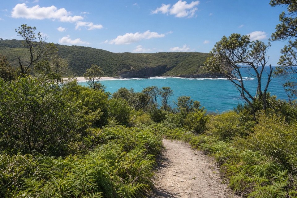 ModerateSteamers Beach Walk4.6 km · 2 hr · At the trailheadA shaded bush track ends on an isolated, cliff-backed beach.
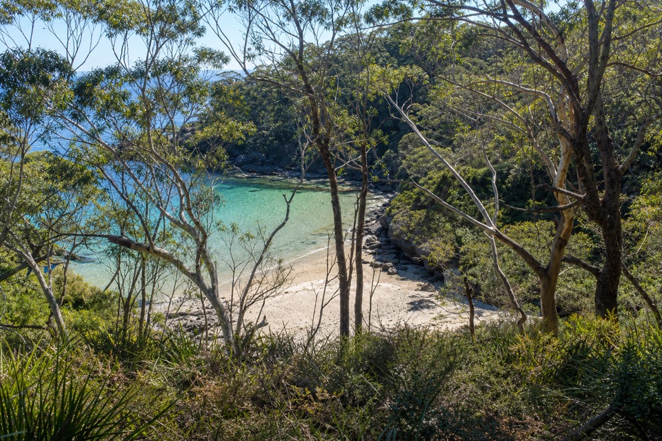 ModerateBooderee Circuit Trail11.4 km · 4 hr · At the trailheadFrom eucalypt shade to sea cliffs and Blacks Waterhole.
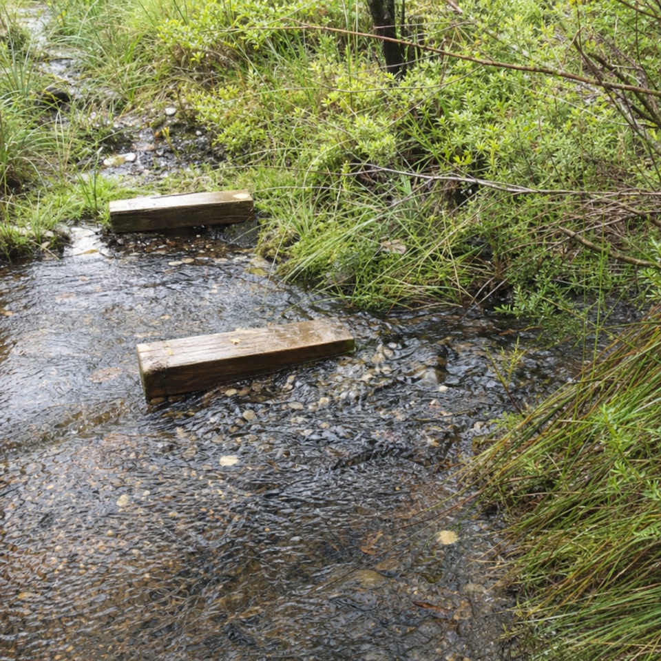 EasyTelegraph Creek Nature Trail2.4 km · 1 hr · 2.5 km awayAn easy loop through creekside forest, swamp and spring heath.
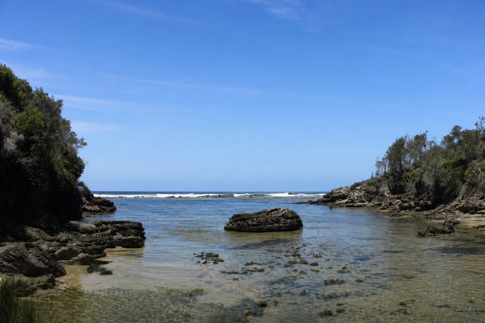 EasyStony Creek Walk0.5 km · 45 min · 2.9 km awayA quick walk to a sheltered rocky creek inlet.
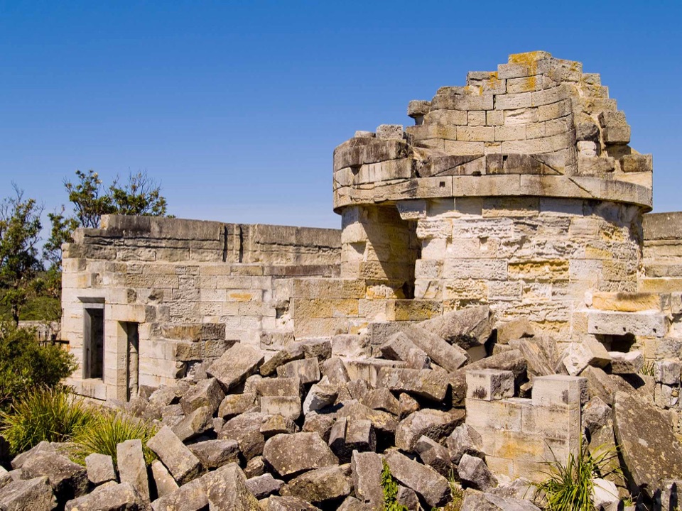 EasyCape St George Historic Lighthouse Walk0.7 km · 21 min · 3.5 km awayA short walk through lighthouse ruins above the open coast.
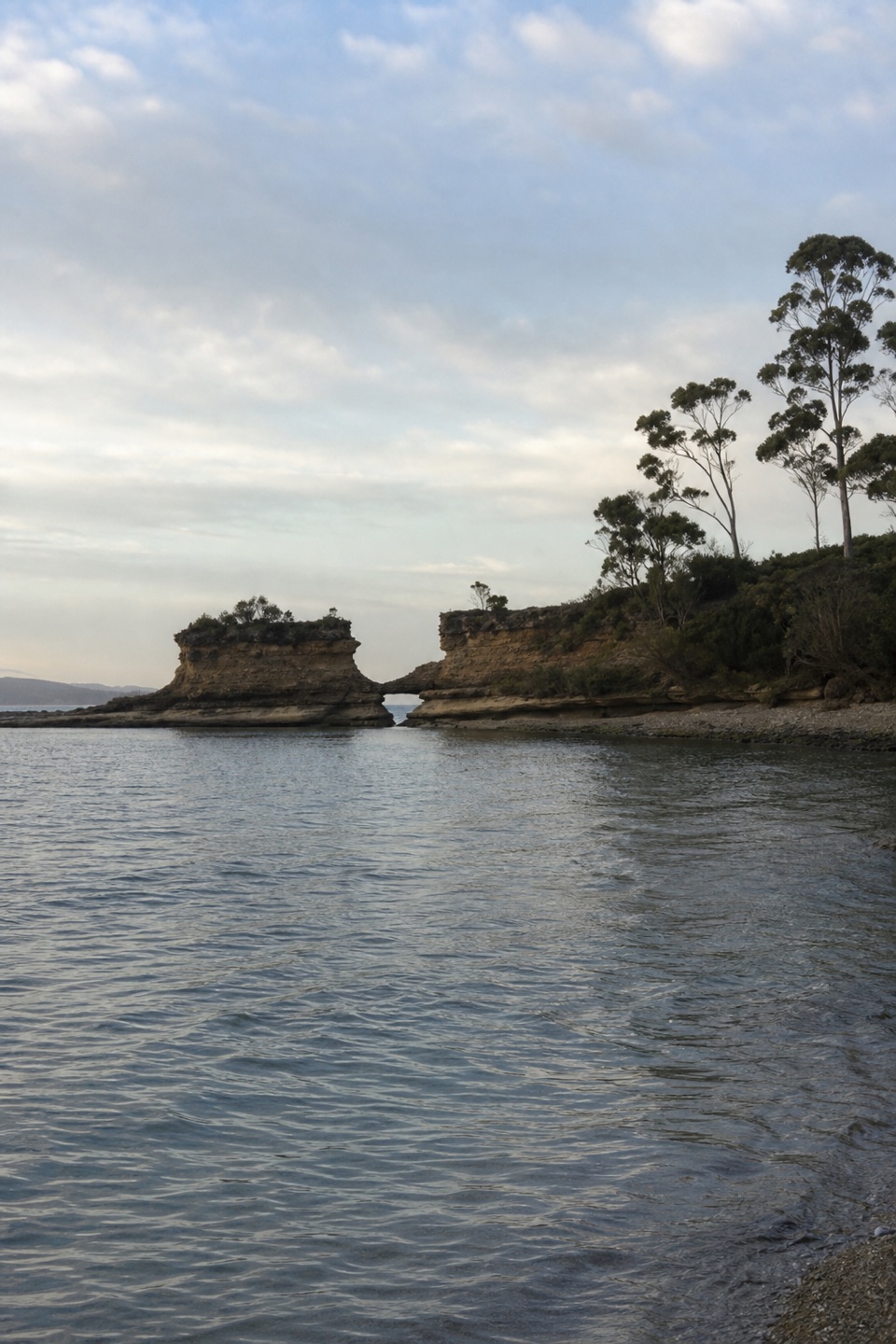 EasyHole in the Wall Track0.9 km · 20 min · 3.6 km awayA short gravel out-and-back to sheltered Hole in the Wall Beach.
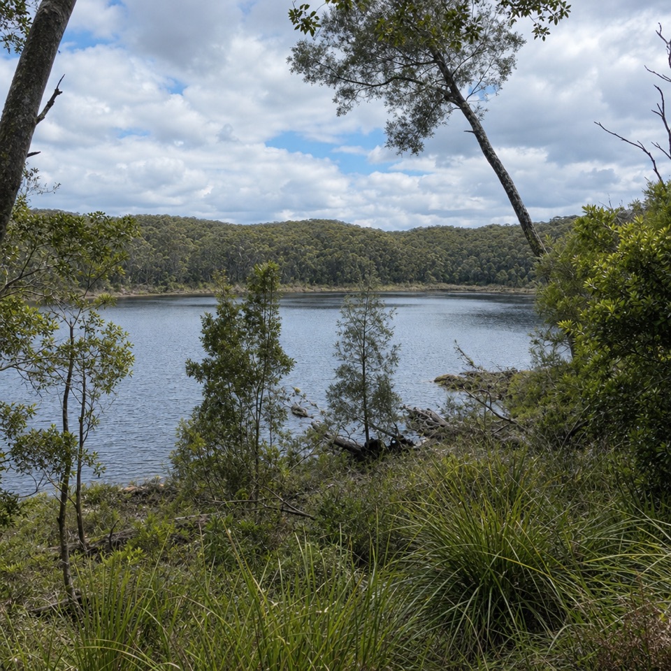 EasyForest Walk1.3 km · 30 min · 4.8 km awayA ferny garden loop with Lake McKenzie views in half an hour.
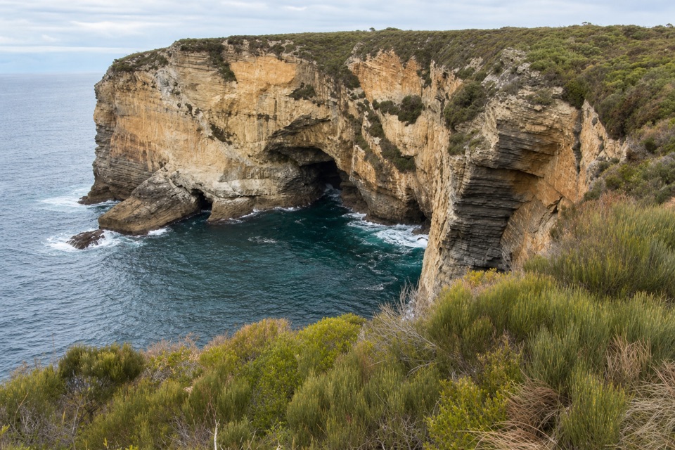 EasyMurrays Car Park to Hole in the Wall Low-Tide Walk2.2 km · 1 hr · 4.9 km awayA short low-tide shore walk to a sandstone opening.
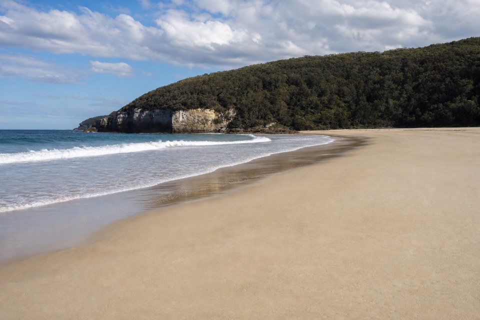 Beach · 1.2 km awaySteamers BeachA dramatic cove, reached by a steep forest walk and stairs.
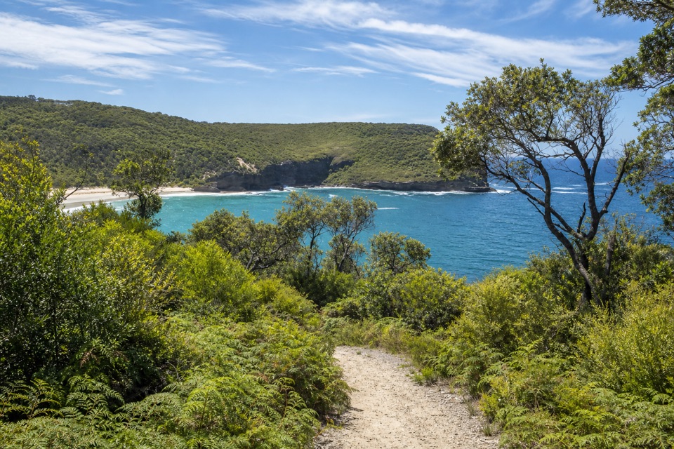 Sight · 1.5 km awayBrooks LookoutWide sea views worth adding to a longer headland walk.
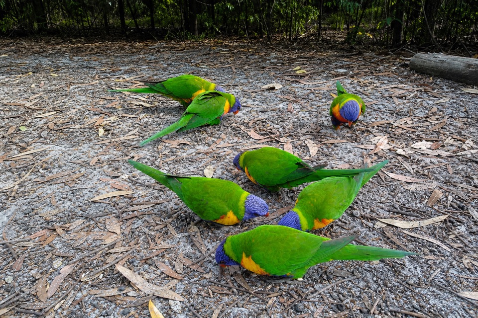 Campground · 2.7 km awayGreen Patch CampgroundHot showers and unpowered sites among the coastal bush.
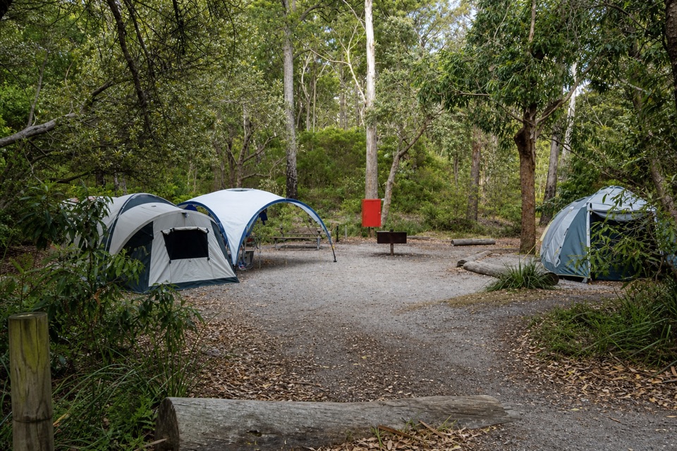 Campground · 2.8 km awayBristol Point CampgroundA bushland base within walking distance of two beaches.
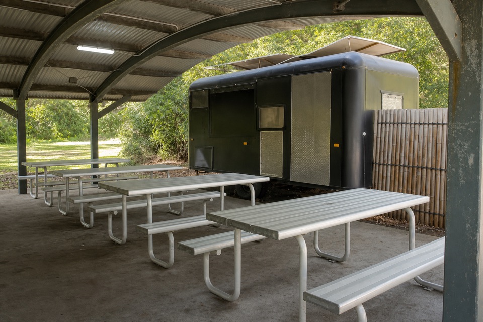 Food · 2.8 km awayKoffeeClan VanCoffee near Green Patch’s day-use area.
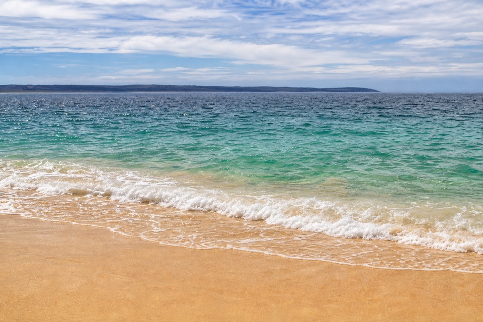 Beach · 2.8 km awayGreen Patch BeachSheltered water and beginner snorkelling make an easy beach day.
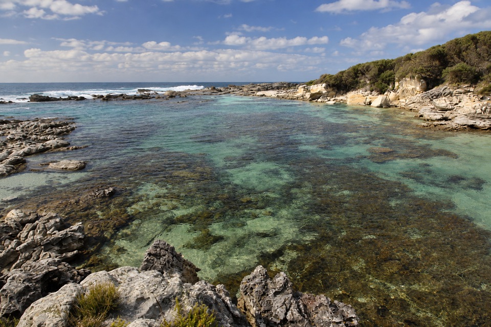 Beach · 2.9 km awayStony CreekClear pools behind wave-washed rock make this a quick snorkel stop.
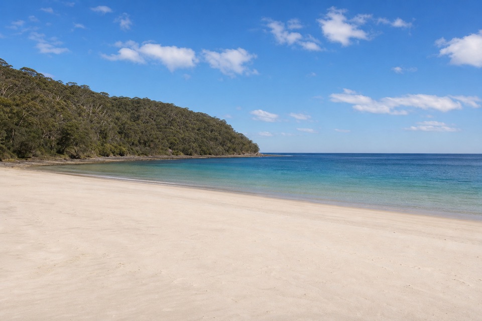 Beach · 3 km awaySummercloud BayA community surf spot with public ramp and picnic access.
Parkwolf’s Booderee ranking

The audio tour guide for the drive, plus offline maps, trails, and wildlife heatmaps for when the signal drops.