Pros & cons
PROS
- Interpretive panels turn it into a self‑guided nature walk.
- Benches along the track make it easy to pause for birding.
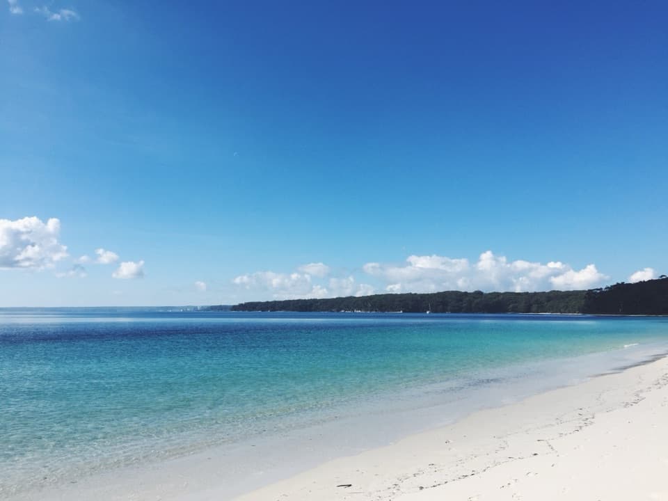
- Starts by Green Patch with toilets, showers, barbecues, and a calm beach nearby.
CONS
- Very short and gentle—not for hikers seeking big views or challenge.
- Ticks and insects can be active; bring repellent and do a post‑walk check.
Park at the Green Patch car park and start from its northern end, or use roadside parking by the signed trailhead on Jervis Bay Road near the Green Patch turn‑off.
Ticks and insects present; apply repellent and check after walking. Stay on signed tracks out of respect for Country and to protect habitat. Park pass required for entry.
Overview
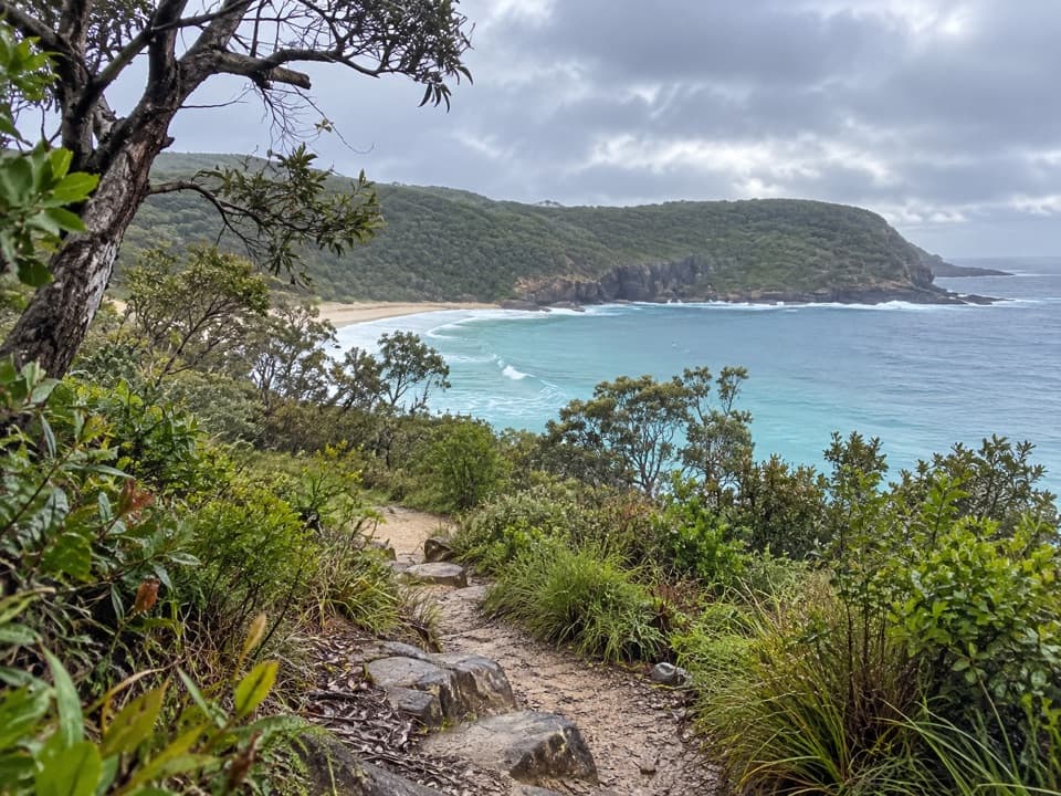
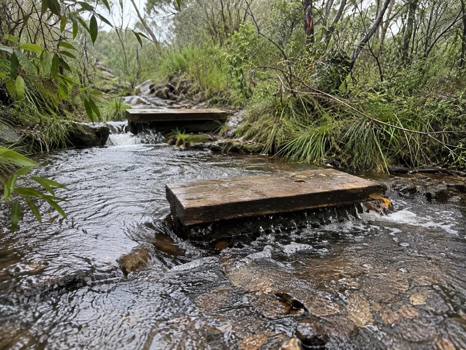
This is an easy, well‑signed nature loop through coastal forest and heath that spotlights the plants and habitats around Green Patch. The circuit is 2.4 km (about 1.5 miles) total, and most walkers take roughly 1 hour. Expect a narrow, mostly flat dirt singletrack with minimal elevation change—great for a leg‑stretch or casual nature fix rather than a “big hike.”
Trailhead & Route
Start from the northern end of the Green Patch car park, or from the signed trailhead on Jervis Bay Road near the Green Patch turn‑off. Follow the loop clockwise if you want the interpretive panels in a tidy sequence. There are a couple of benches along the track—handy for bird listening or a sip of water.
What You’ll See
Interpretive signs point out the surrounding vegetation as the trail moves between forest and heath. It’s a reliable spot for birdlife; keep an ear out for Southern Emu‑wren and Eastern Bristlebird, and look for Glossy Black‑Cockatoos along with various honeyeaters and wattlebirds. In spring, wildflowers pop and the heath feels especially lively.
Best Time to Hike
Spring is the sweet spot for flowers, but the loop works year‑round and is a pleasant early‑morning or late‑afternoon stroll. Green Patch is a popular picnic area, so starting early helps you nab parking and quieter track time.
Facilities & Logistics
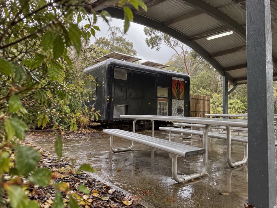
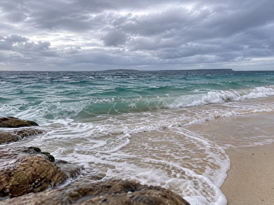
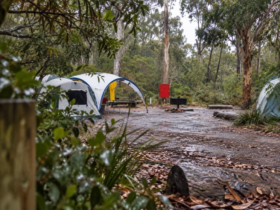
Green Patch offers the full post‑walk setup: toilets, showers, wood barbecues, picnic tables, and a sheltered white‑sand beach for a quick swim. A park pass is required for entry; the park is owned by the Wreck Bay Aboriginal Community—please respect Country and stay on marked tracks.
If You Want More
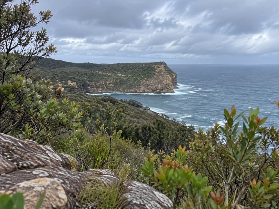
Craving distance or coastal views? You can link tracks into longer circuits, including a much bigger loop to Governor Head (a full‑day outing). Those extended routes can feel more overgrown and buggy, so bring repellent and expect a wilder experience.
Heads‑Up
Ticks and insects are possible—use repellent and do a quick check after your walk. The path is not paved and isn’t a wheelchair or stroller route. As always, check current park alerts before you go.
Elevation
1.5 mi · 1 hrWhere it starts
-35.1448, 150.6741Wildlife on this trail
Near Telegraph Creek Nature Trail
All places →All trails →
0 mi awayBotanic Gardens Loop WalkEasy 3.7 km loop through rainforest, heath and eucalyptEasy · 2.3 mi · 1.3 hr
0 mi awayBooderee Botanic GardensAustralia's only Aboriginal-owned botanic garden, shady walks and picnicsRestroom · Picnic Table
0 mi awayBooderee Botanic Gardens Visitor CentreYour stop for passes, maps, and smart garden route adviceVisitor Center · Restroom
1 mi awayCave Beach Walking TrackShort coastal loop to surfy sands, swamp birds, and blackbutt forestEasy · 1.7 mi · 1 hr
1.1 mi awayCave Beach LookoutQuick boardwalk with big views over Cave Beach and bayParking · Restroom
1.2 mi awayCave Beach CampgroundWalk-in beach camping with surf, roos and simple, cold showersCampground · Restroom
2 mi awaySummercloud Bay Walking TrackQuiet coastal ramble to hidden coves and powerful surf viewsEasy · 2 mi · 48 min
2.9 mi awayBristol Point Loop Walking TrackShort coastal loop linking Green Patch and Bristol Point via rocksEasy · 1.2 mi · 1 hr