Parking
Use the designated Hole in the Wall Carpark beside Jervis Bay Road; the track starts at the lot.
Booderee National Park, JBT
A short gravel out-and-back to sheltered Hole in the Wall Beach.
Overview
Map & elevation
Plan your hike

The highest, rockiest slopes around here are a summer buffet for grizzly bears.
Booderee Tour Guide
Parkwolf is a GPS audio tour guide for Booderee National Park. As you drive, it chimes in with what’s ahead: hidden gems, upcoming stops, history, geology, and wildlife, right through your car’s speakers.
Recorded for this trailhead
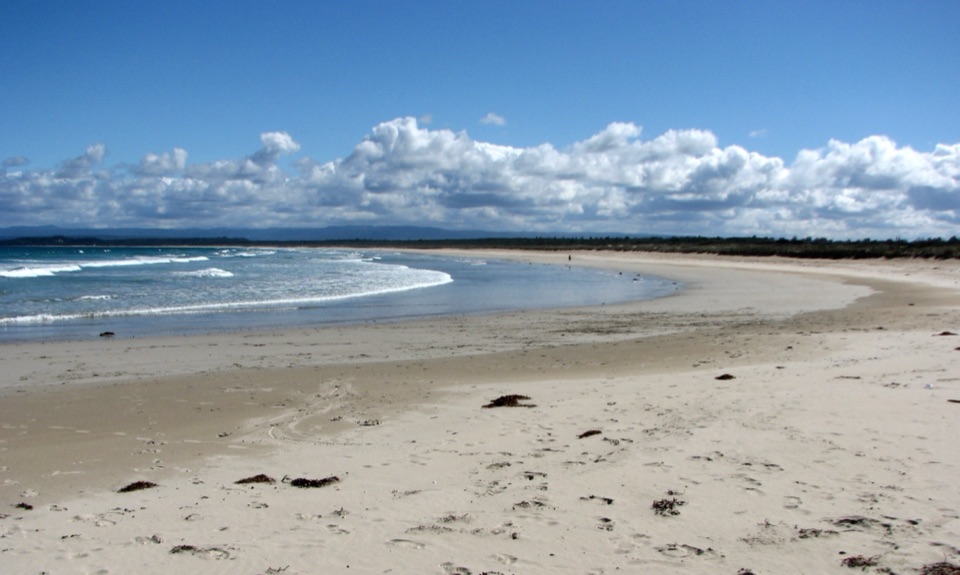
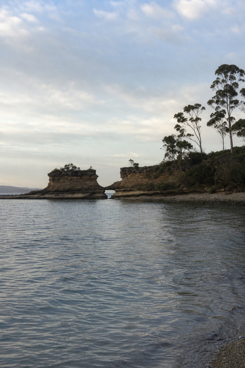
Hole in the Wall: The Sandstone Notch“Hole in the Wall's beach access is coming up. The sandstone opening has collapsed into a broad U-shaped notch at the far end of a crescent beach.”
Plays as you drive up to this trailhead in the Parkwolf Booderee Tour Guide.
More stories near here in the app
“Fantastic app with many points of information… It’s great to just turn on while you’re driving and it gives you an audio tour of the national Park. We love it!!!!”


Trail guide
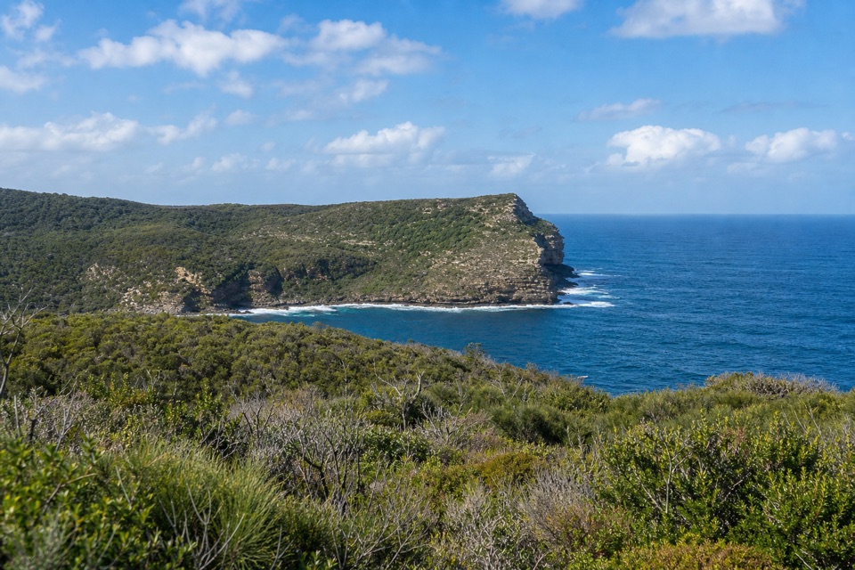
Hole in the Wall Track is an easy gravel out-and-back from a roadside car park to Hole in the Wall Beach. The mapped track is about 0.3 mile each way, or roughly 0.6 mile return. It slopes down to the shore, then climbs back along the same path; allow about 20 minutes. Choose it for a quick beach visit rather than a longer coastal hike.
The crescent-shaped beach is sheltered from southerly winds and is a good spot for snorkelling. The sandstone opening that gives Hole in the Wall its name lies farther along the shore; this track ends at the beach. Getting to the formation depends on the tide. High or rising water can block the approach, and soft sand or seaweed can make the shoreline harder to cross. The beach is unpatrolled.
The track begins at Hole in the Wall Carpark beside Jervis Bay Road. Expect an uphill return on the same gravel path. A vehicle pass is required to drive into Booderee, while entry on foot or bicycle is free; pets are not permitted in the park. Green Patch is a separate nearby picnic area with facilities and gas barbecues.
Wildlife
 202 sightingsGrey KangarooMost seen around 6 PMSighting map
 26 sightingsEchidnaMost seen around 6 AMSighting map
 16 sightingsRed-necked WallabyMost seen around 6 PMSighting map
 116 sightingsSwamp WallabyMost seen around 6 PMSighting map
 93 sightingsKookaburraMost seen around 6 AMSighting map
 22 sightingsYellow-tailed Black CockatooMost seen around 5 PMSighting map
Sighting maps show where each species has been reported across Booderee. Wildlife moves, so no sighting is guaranteed.
Keep exploring
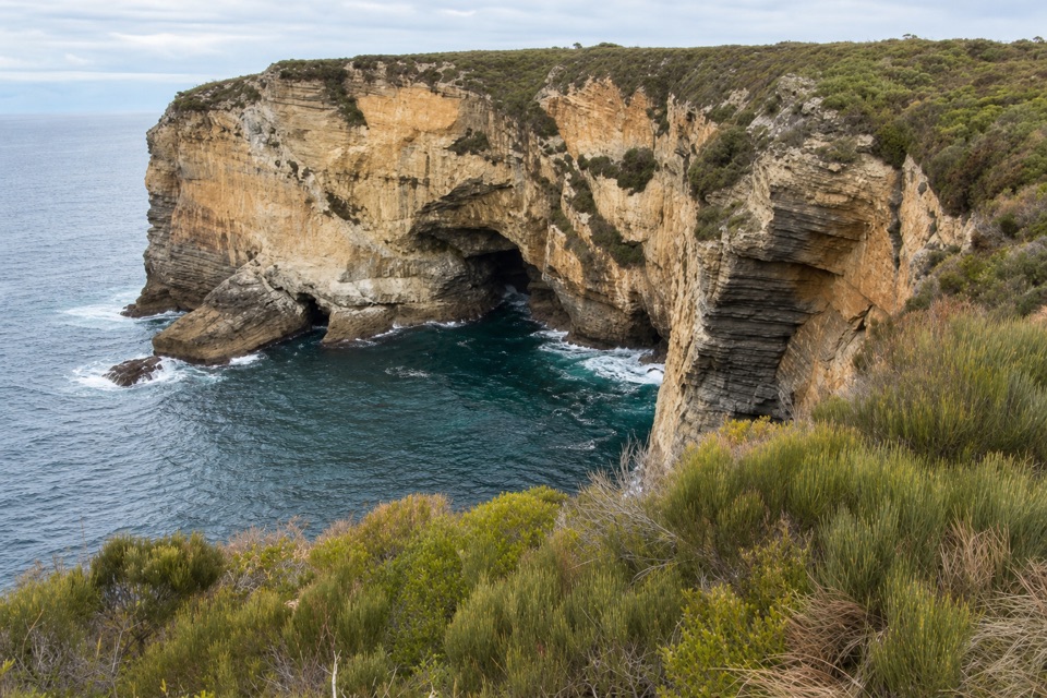 EasyMurrays Car Park to Hole in the Wall Low-Tide Walk2.2 km · 1 hr · 1.3 km awayA short low-tide shore walk to a sandstone opening.
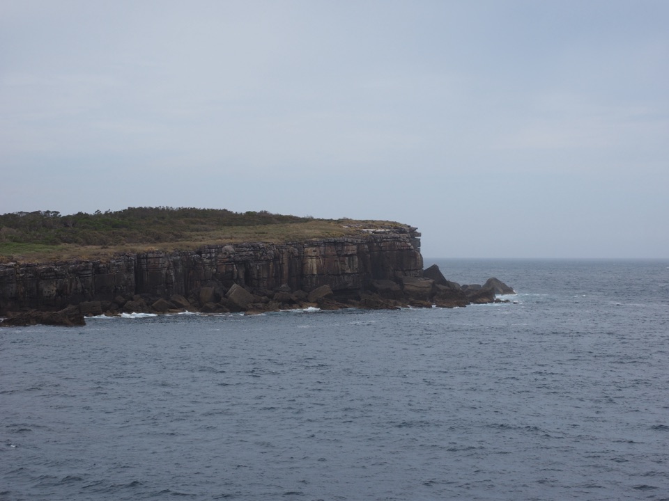 EasyMunyunga waraga dhugan Loop Walk6.1 km · 2.8 hr · 1.4 km awayFourteen signs, coastal heath and a wide view into Jervis Bay.EasyMurrays Beach to Governors Head Walk2.2 km · 45 min · 1.4 km awayShort beach walk to a clifftop view across Bowen Island.
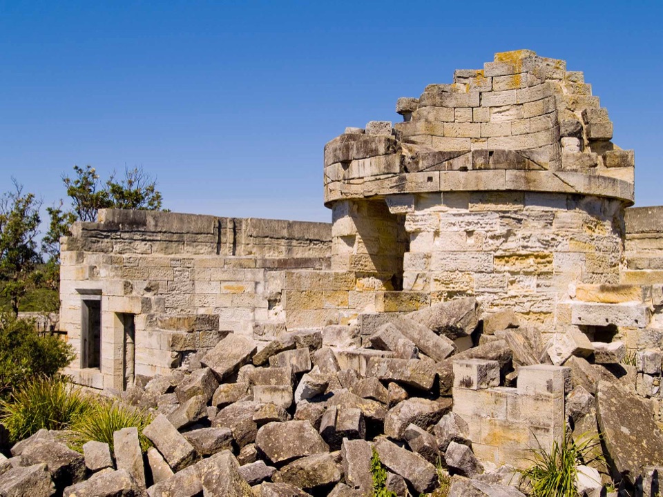 EasyCape St George Historic Lighthouse Walk0.7 km · 21 min · 1.9 km awayA short walk through lighthouse ruins above the open coast.
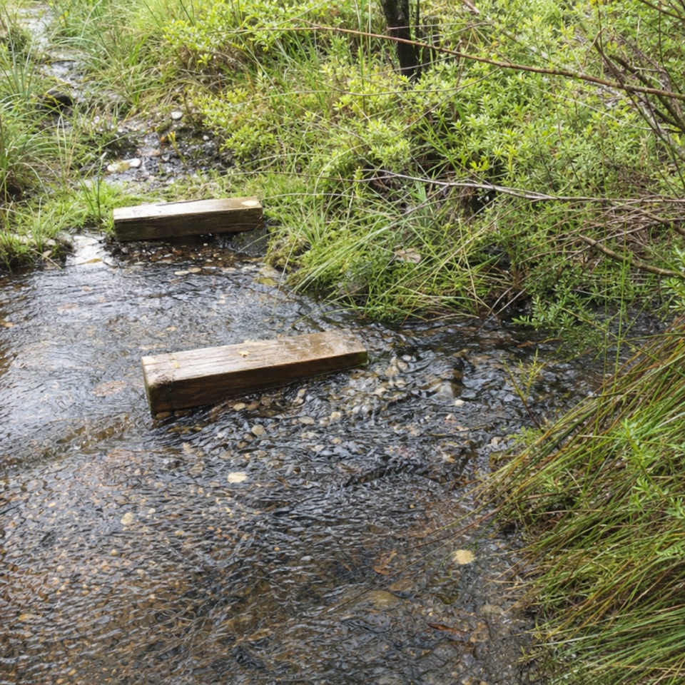 EasyTelegraph Creek Nature Trail2.4 km · 1 hr · 2.4 km awayAn easy loop through creekside forest, swamp and spring heath.
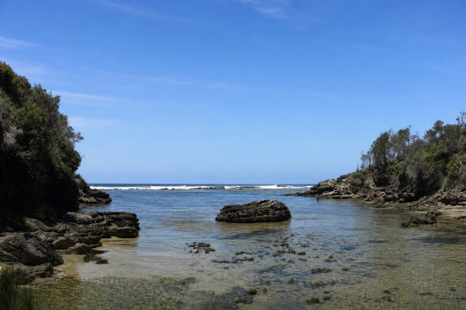 EasyStony Creek Walk0.5 km · 45 min · 3.3 km awayA quick walk to a sheltered rocky creek inlet.
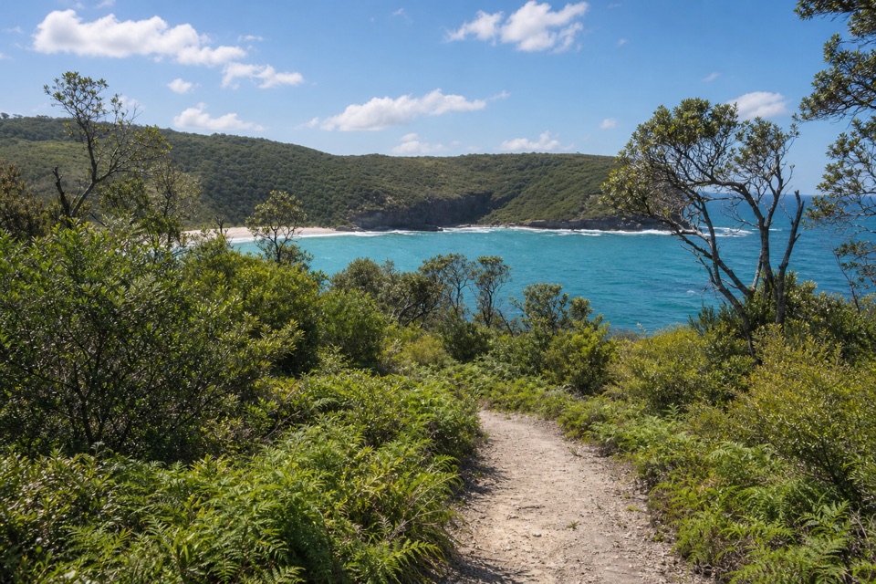 ModerateSteamers Beach Walk4.6 km · 2 hr · 3.6 km awayA shaded bush track ends on an isolated, cliff-backed beach.
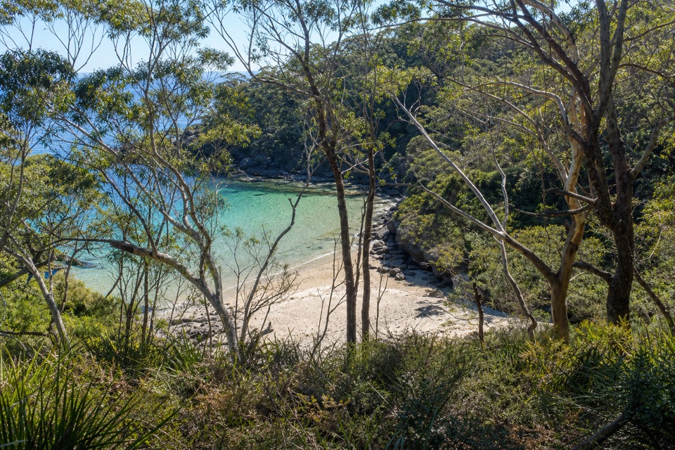 ModerateBooderee Circuit Trail11.4 km · 4 hr · 3.6 km awayFrom eucalypt shade to sea cliffs and Blacks Waterhole.
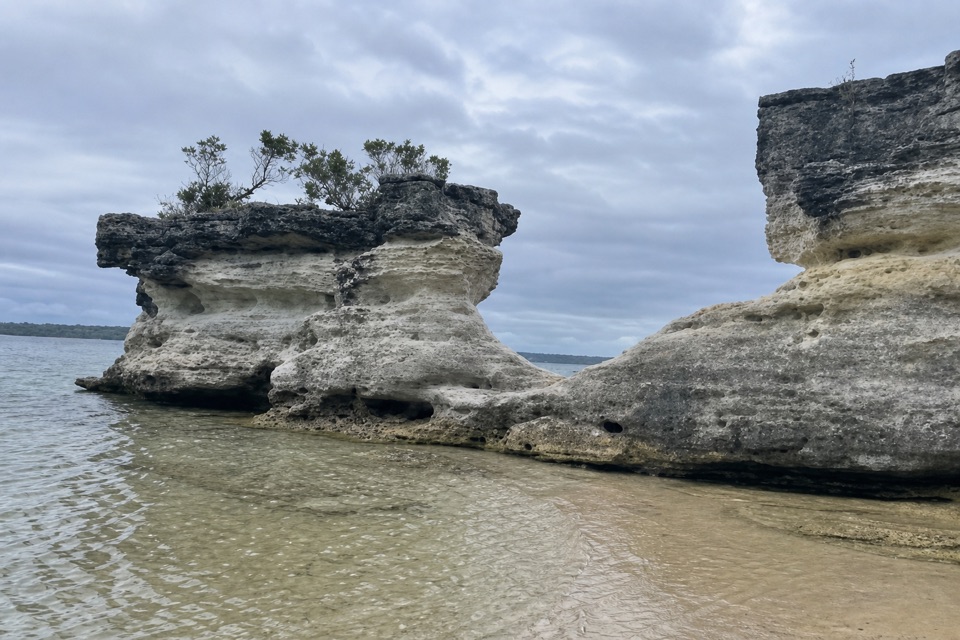 Beach · 0.5 km awayHole in the WallA crescent beach ends at a sandstone opening worn into a U.
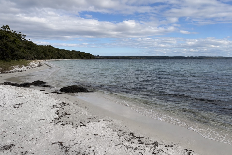 Beach · 0.6 km awayScottish RocksRock platforms, snorkelling and shallow pools make this beach different.
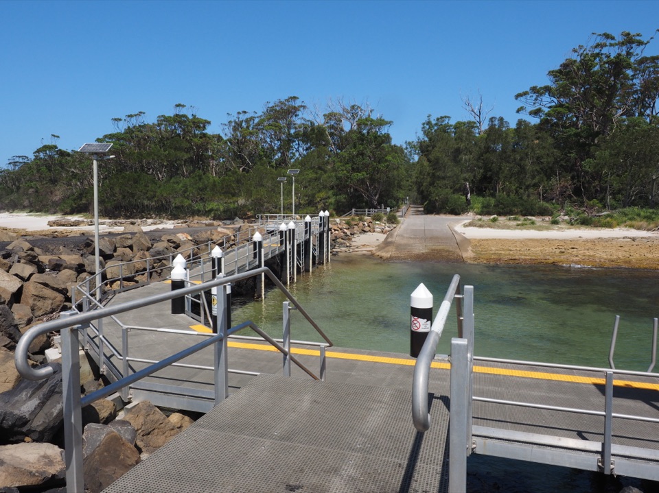 Sight · 1.3 km awayMurrays Boat RampA boat ramp on the low-tide walk to Murrays Beach.
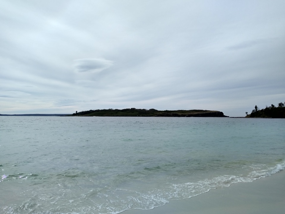 Beach · 1.7 km awayMurrays BeachFive minutes from parking to white sand and island views.
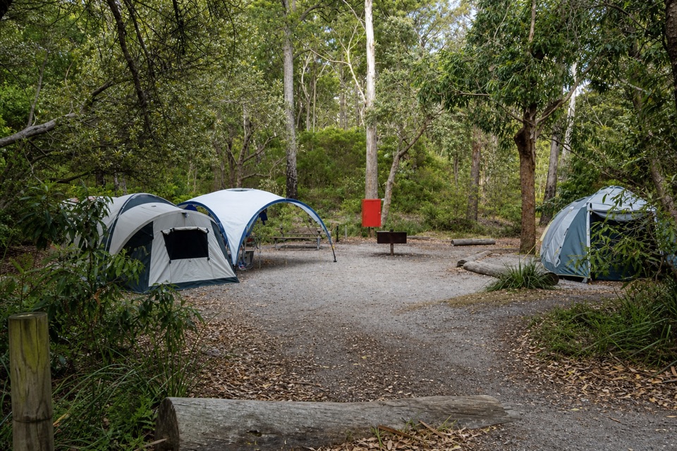 Campground · 1.8 km awayBristol Point CampgroundA bushland base within walking distance of two beaches.
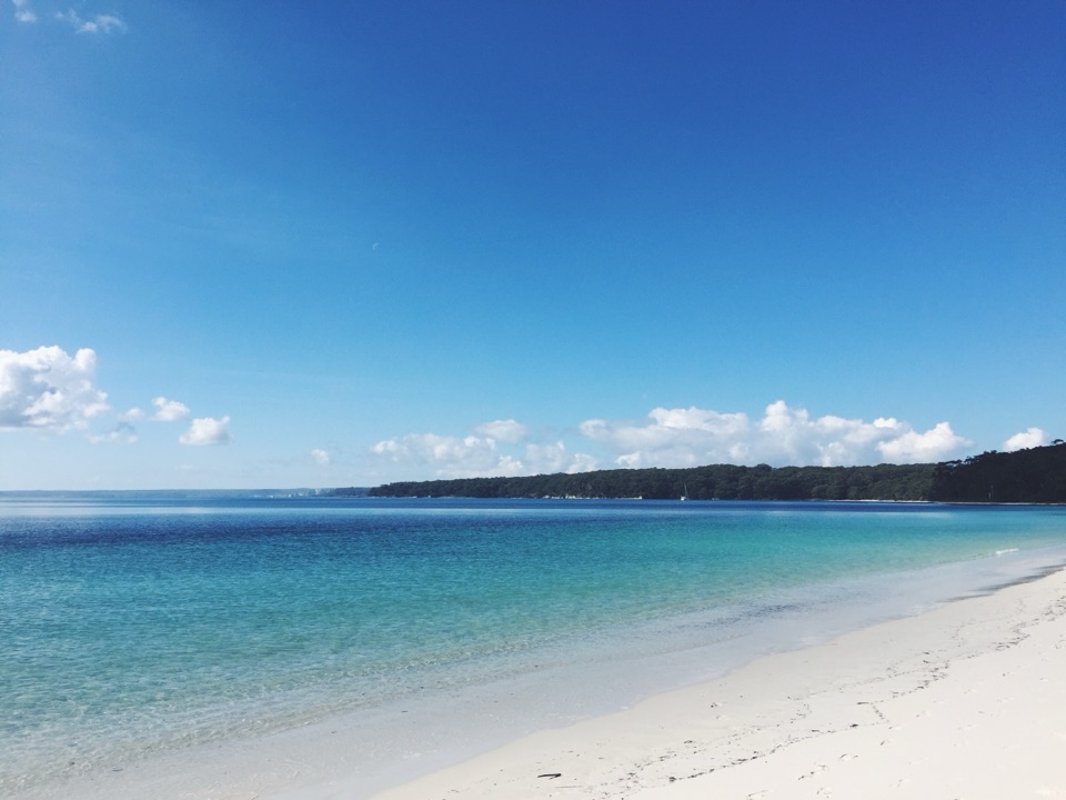 Beach · 1.9 km awayBristol Point BeachA secluded beach worth the short, low-tide walk.Sight · 2 km awayCape St George LighthouseA ruined 1860 lighthouse with coastal views and seasonal whale watching.Sight · 2 km awayGovernors Head LookoutA short coastal walk to Bowen Island’s cliffs and sea views.
Parkwolf’s Booderee ranking

The audio tour guide for the drive, plus offline maps, trails, and wildlife heatmaps for when the signal drops.