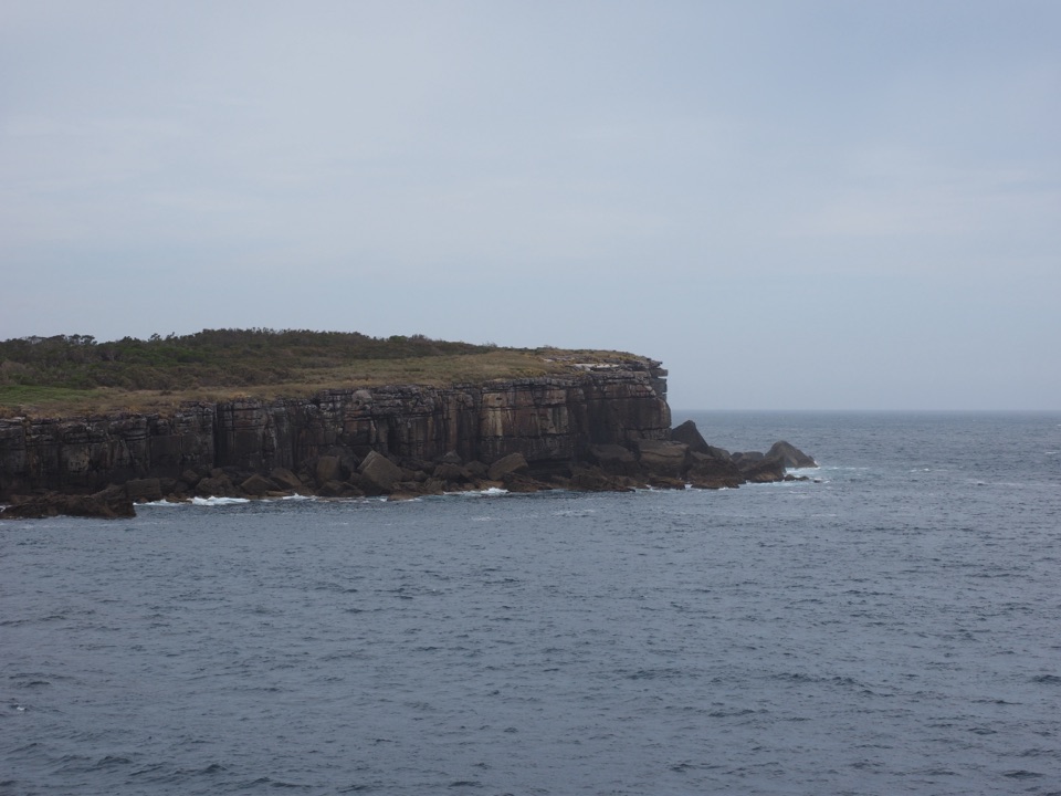
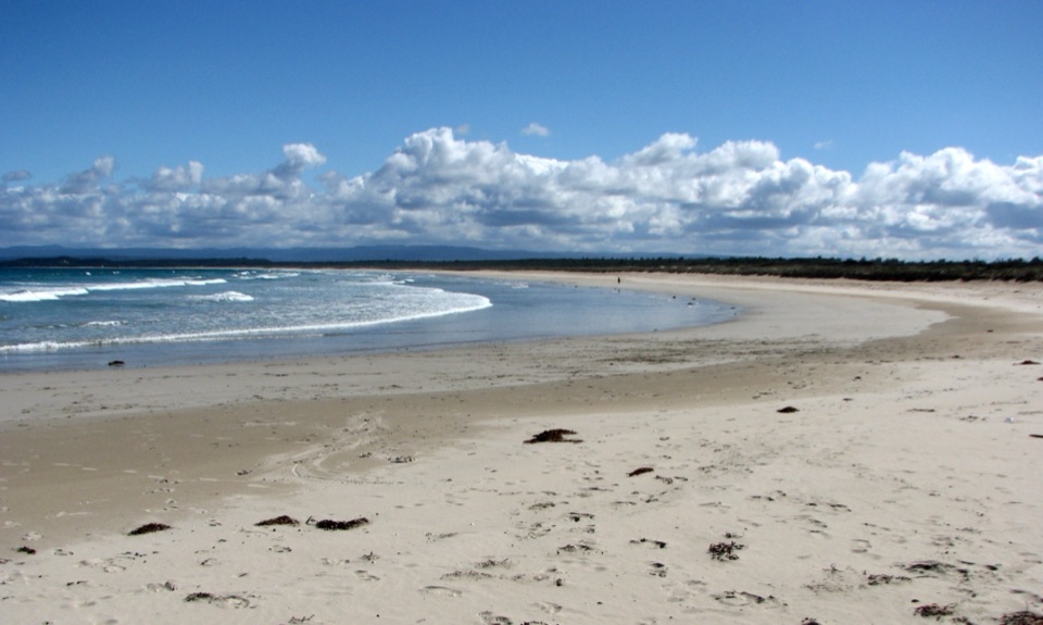
Parking
Start at Steamers Beach Carpark on the southern peninsula. The final approach includes an unsealed gravel section; the Visitor Centre has toilets before the drive south. Parking capacity and facilities at the trailhead were not confirmed.
#2 of 14 trails in Booderee
Booderee National Park, JBT
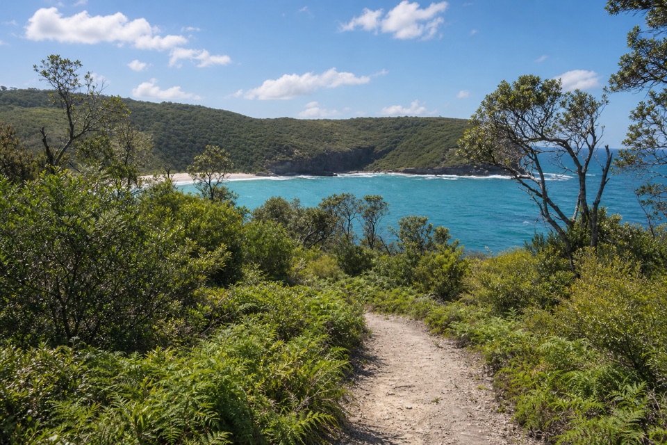
A shaded bush track ends on an isolated, cliff-backed beach.
Overview
Map & elevation
Plan your hike

The highest, rockiest slopes around here are a summer buffet for grizzly bears.
Booderee Tour Guide
Parkwolf is a GPS audio tour guide for Booderee National Park. As you drive, it chimes in with what’s ahead: hidden gems, upcoming stops, history, geology, and wildlife, right through your car’s speakers.
Recorded for this trailhead
Steamers Beach: The Walk to the Cove“You're approaching the car park for Steamers Beach, an isolated shore below high cliffs and steep dunes.”
Plays as you drive up to this trailhead in the Parkwolf Booderee Tour Guide.
More stories near here in the app
“Fantastic app with many points of information… It’s great to just turn on while you’re driving and it gives you an audio tour of the national Park. We love it!!!!”


Trail guide
Steamers Beach Walk is a 4.6 km out-and-back from Steamers Beach Carpark through tall eucalypt forest and tea tree to an isolated, cliff-backed beach. The 2.3 km approach is about an hour one way, Grade 3; plan around two hours for the return walk, plus whatever time you spend on the sand. I’d choose it when the beach is the point of the outing and you’re comfortable with a steep staircase. The approach is fairly gentle for much of the way, then asks you to climb those stairs again on the return.
The carpark also gives access to the St Georges Headland Circuit, an 11.4 km loop with branches to other beaches and headland viewpoints. That’s a separate, much longer outing. This route follows the marked beach spur and returns over the same track. At about 1.1 km, take the signed turn toward Steamers Beach; just after 1.7 km, bear left again at the next junction. Keep following the beach markers rather than the circuit if you want the shorter walk.
The first 250 m is flat, then the wide, graded track rolls gently under eucalypts and tea tree. It’s a shaded approach for the most part, with the coast appearing as you get closer to the beach. Around 1.1 km, a small creek crosses the track. After heavy rain the water can rise, so you may need to pick your way across on rocks. Beyond the junction, the path gradually drops through coastal scrub toward the beach.
A little over 200 m after the second turn, the grade changes quickly. Wooden stairs descend through the slope, with a flatter break before narrower, steeper steps and a metal walkway for the final stretch to the sand. The view opens as you come down, but save some energy for the return: the stairs are the walk’s hard part, and visitors often find the climb back steeper than the distance suggests. This isn’t a gentle beach stroll or a good pick if stairs are a problem.
Steamers is a broad, isolated sweep of sand below high cliffs and steep dunes. The dunes’ pale colour is unusual for Booderee, and they may be old tsunami deposits. The final stairs give the clearest look back over the beach and its wooded headland; frame the pale curve of shore with the dark green ridge above it. A rock shelf at the far end may be cut off at high tide, so don’t count on reaching it for a higher view. Dolphins and seals have been seen from the rocks, but those are occasional sightings, not a reason to expect wildlife on every visit.
Vehicles entering Booderee need a valid park pass; visitors arriving on foot or bicycle are exempt. Pets aren’t allowed in the park. The final approach to the carpark includes an unsealed gravel section. The Visitor Centre has toilets before the drive south; facilities at the trailhead weren’t confirmed. Swimming is discouraged because of severe tows and large sharks, and the creek may be higher after heavy rain.
Wildlife
 202 sightingsGrey KangarooMost seen around 6 PMSighting map
 26 sightingsEchidnaMost seen around 6 AMSighting map
 16 sightingsRed-necked WallabyMost seen around 6 PMSighting map
 116 sightingsSwamp WallabyMost seen around 6 PMSighting map
 93 sightingsKookaburraMost seen around 6 AMSighting map
 22 sightingsYellow-tailed Black CockatooMost seen around 5 PMSighting map
Sighting maps show where each species has been reported across Booderee. Wildlife moves, so no sighting is guaranteed.
Keep exploring
 ModerateBooderee Circuit Trail11.4 km · 4 hr · At the trailheadFrom eucalypt shade to sea cliffs and Blacks Waterhole.
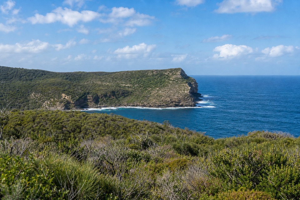 ModerateSt Georges Head Trail13.8 km · 5 hr · At the trailheadOcean cliffs after miles of quiet, undulating management track.
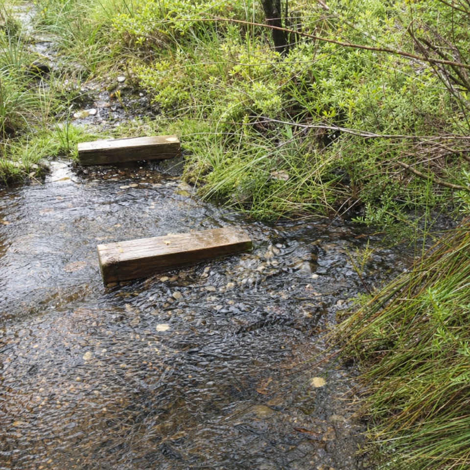 EasyTelegraph Creek Nature Trail2.4 km · 1 hr · 2.5 km awayAn easy loop through creekside forest, swamp and spring heath.
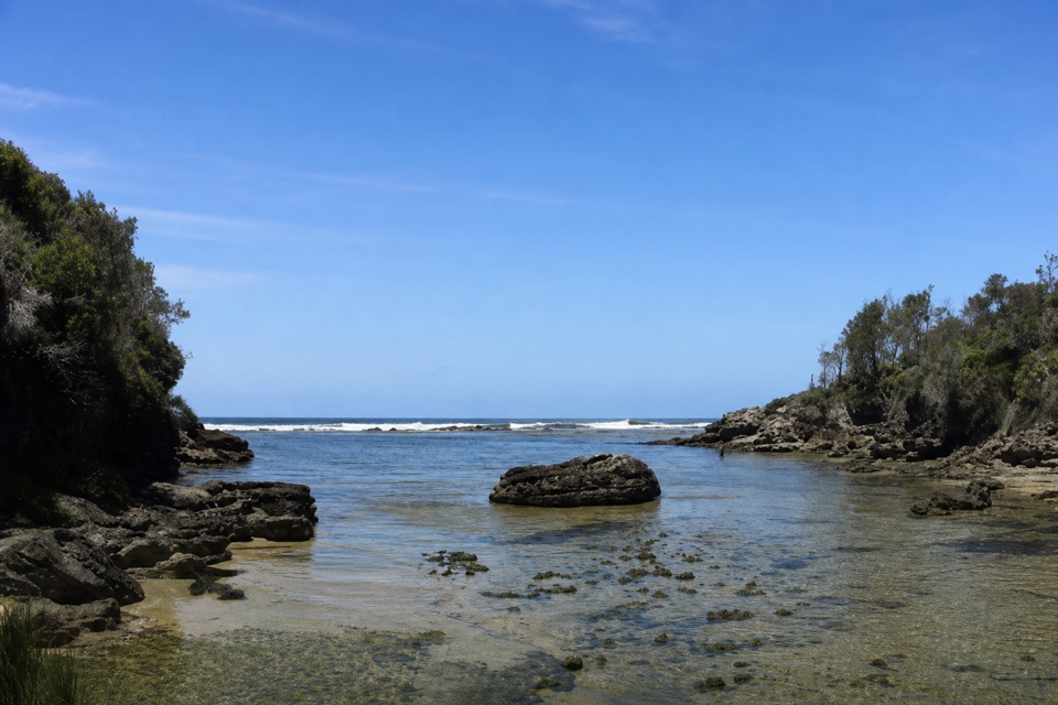 EasyStony Creek Walk0.5 km · 45 min · 2.9 km awayA quick walk to a sheltered rocky creek inlet.
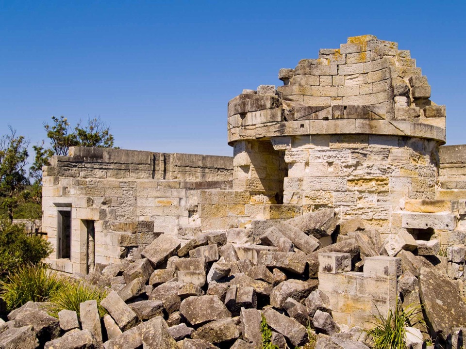 EasyCape St George Historic Lighthouse Walk0.7 km · 21 min · 3.5 km awayA short walk through lighthouse ruins above the open coast.
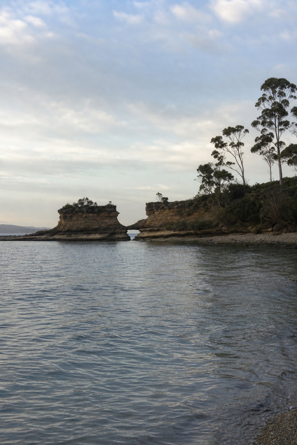 EasyHole in the Wall Track0.9 km · 20 min · 3.6 km awayA short gravel out-and-back to sheltered Hole in the Wall Beach.
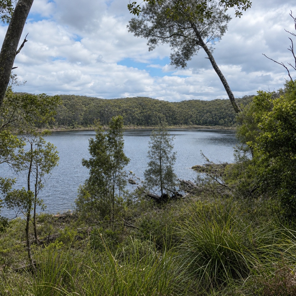 EasyForest Walk1.3 km · 30 min · 4.8 km awayA ferny garden loop with Lake McKenzie views in half an hour.
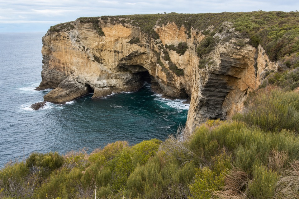 EasyMurrays Car Park to Hole in the Wall Low-Tide Walk2.2 km · 1 hr · 4.9 km awayA short low-tide shore walk to a sandstone opening.
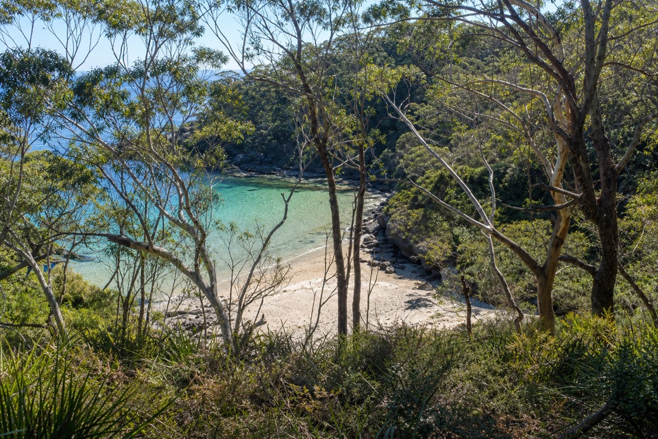
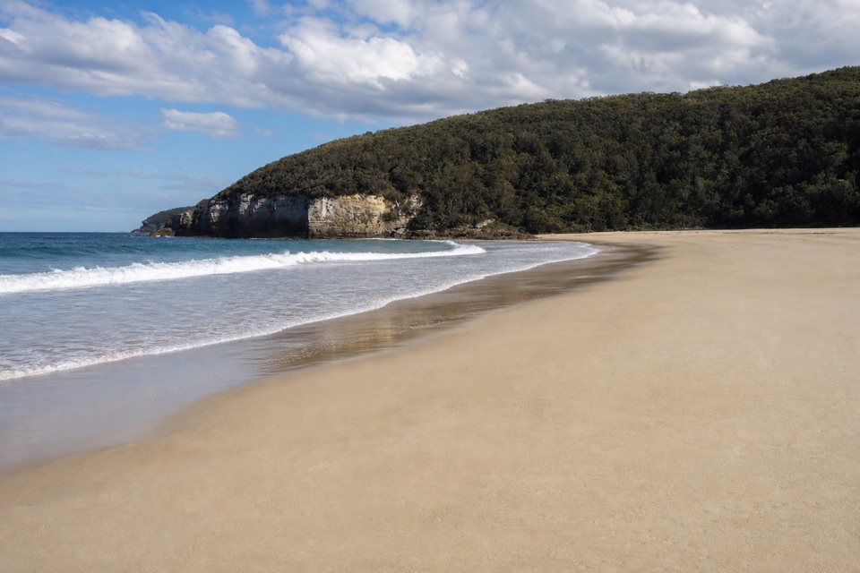 Beach · 1.2 km awaySteamers BeachA dramatic cove, reached by a steep forest walk and stairs.
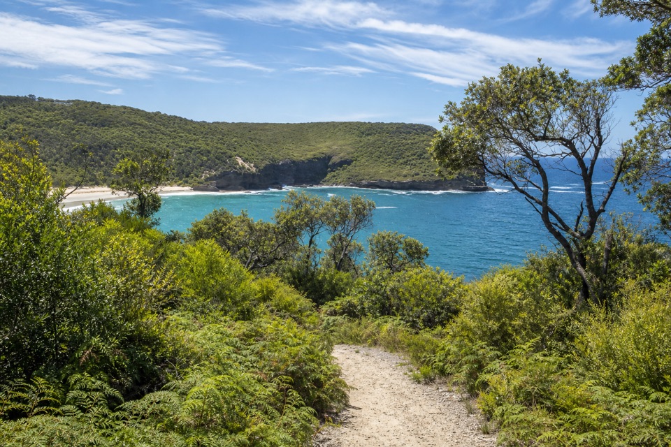 Sight · 1.5 km awayBrooks LookoutWide sea views worth adding to a longer headland walk.
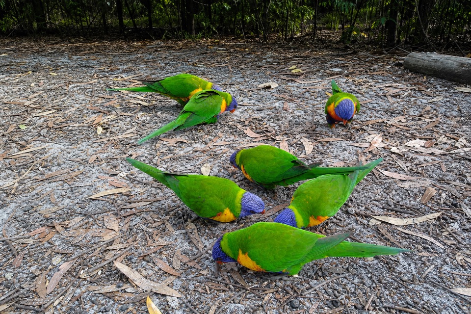 Campground · 2.7 km awayGreen Patch CampgroundHot showers and unpowered sites among the coastal bush.
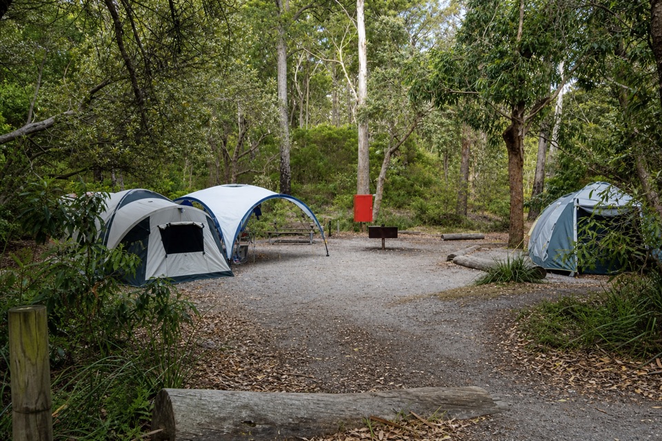 Campground · 2.8 km awayBristol Point CampgroundA bushland base within walking distance of two beaches.
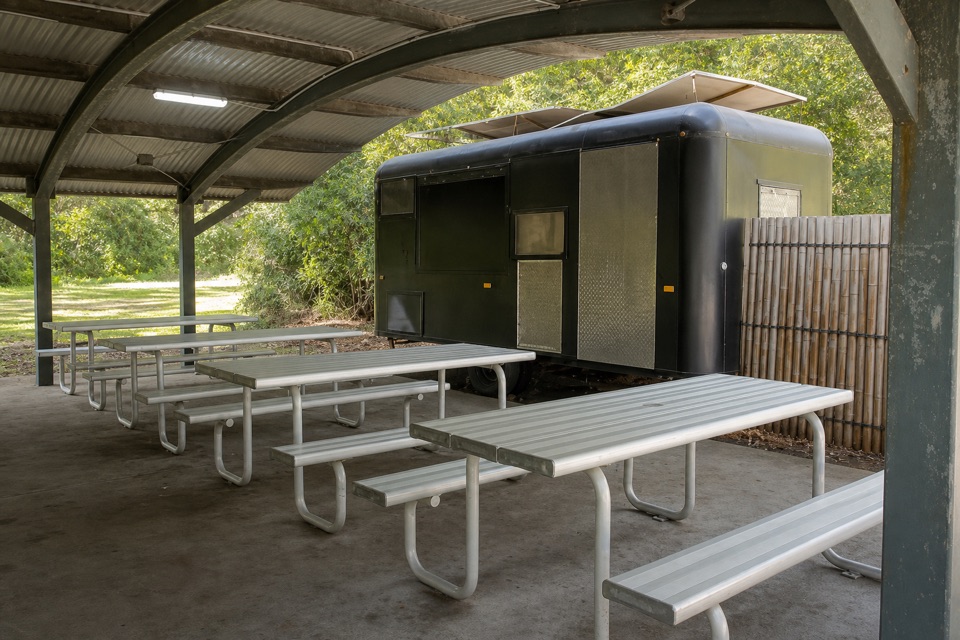 Food · 2.8 km awayKoffeeClan VanCoffee near Green Patch’s day-use area.
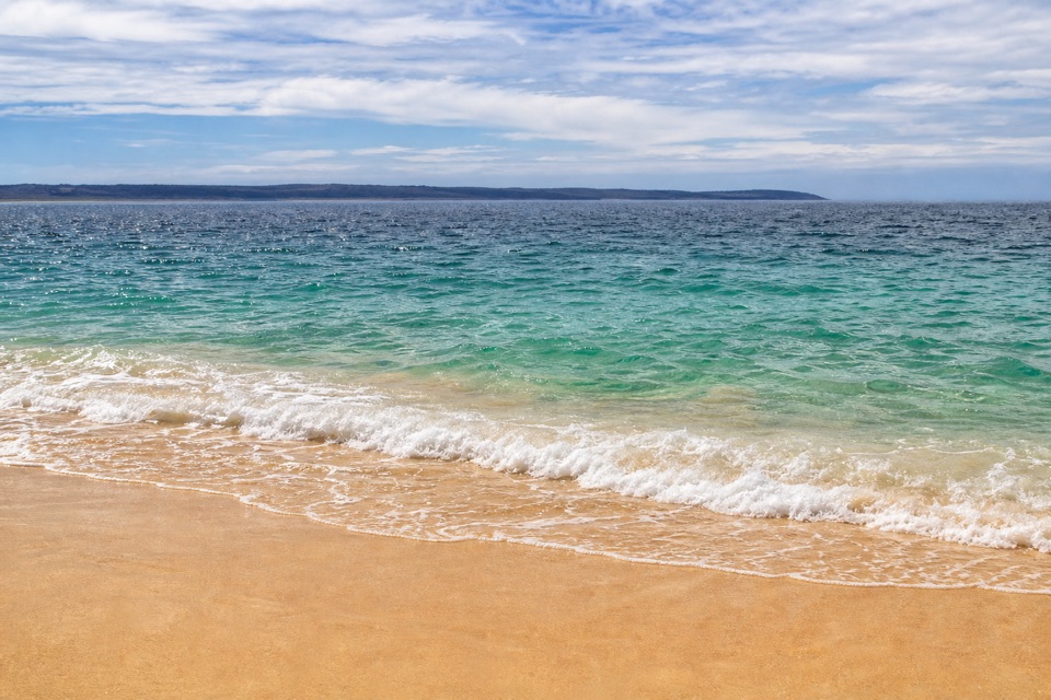 Beach · 2.8 km awayGreen Patch BeachSheltered water and beginner snorkelling make an easy beach day.
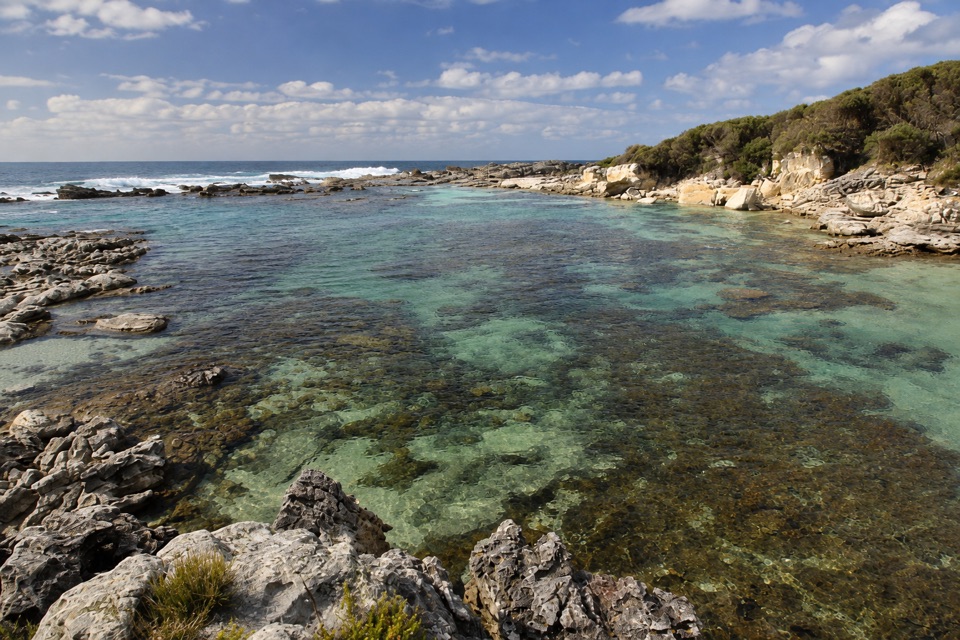 Beach · 2.9 km awayStony CreekClear pools behind wave-washed rock make this a quick snorkel stop.
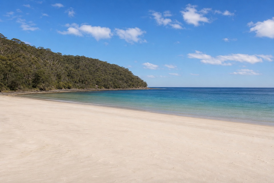 Beach · 3 km awaySummercloud BayA community surf spot with public ramp and picnic access.
Parkwolf’s Booderee ranking

The audio tour guide for the drive, plus offline maps, trails, and wildlife heatmaps for when the signal drops.