Parking
Start at Steamers Beach car park and follow the marked access track to the circuit. A vehicle entry pass is required; walking and cycling entry is free.
#3 of 14 trails in Booderee
Booderee National Park, JBT
From eucalypt shade to sea cliffs and Blacks Waterhole.
Overview
Map & elevation
Plan your hike

The highest, rockiest slopes around here are a summer buffet for grizzly bears.
Booderee Tour Guide
Parkwolf is a GPS audio tour guide for Booderee National Park. As you drive, it chimes in with what’s ahead: hidden gems, upcoming stops, history, geology, and wildlife, right through your car’s speakers.
Recorded for this trailhead
Steamers Beach: The Walk to the Cove“You're approaching the car park for Steamers Beach, an isolated shore below high cliffs and steep dunes.”
Plays as you drive up to this trailhead in the Parkwolf Booderee Tour Guide.
More stories near here in the app
“Fantastic app with many points of information… It’s great to just turn on while you’re driving and it gives you an audio tour of the national Park. We love it!!!!”


Trail guide
The Booderee Circuit Trail is the park’s marked 11.4 km (7.1 mile) loop from Steamers Beach car park around St Georges Headland and back by Blacks Waterhole. It starts under tall eucalypts and tea tree, then opens onto ocean lookouts and small coves. Allow about four hours for the main visitor stops; beach and headland spurs make the day longer. This is the half-day walk for seeing several sides of the peninsula, not a quick stop. The park grades the route 3, and the long distance makes it a moderate outing. If you only have a couple of hours, the separate Steamers Beach walk is 2.3 km each way from the same car park.
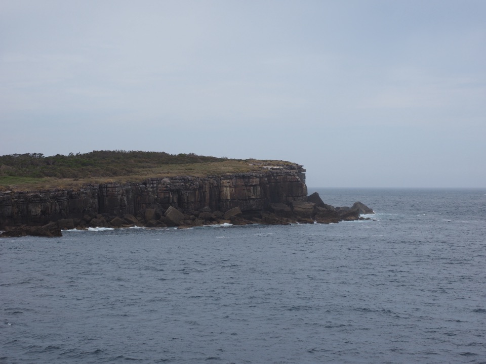
A short marked branch leads to Brooks Lookout, where the coastline opens out toward Steamers Head. The main circuit turns southwest across the headland. Other signed paths leave the loop for St Georges Head, Corangamite and Kittys Point; rocky cliffs and offshore outcrops make those side visits the best places to look out over open water. On a clear day, distant Pigeon House Mountain has been seen from the headland. Seals and dolphins have also been spotted offshore, though wildlife is never guaranteed.
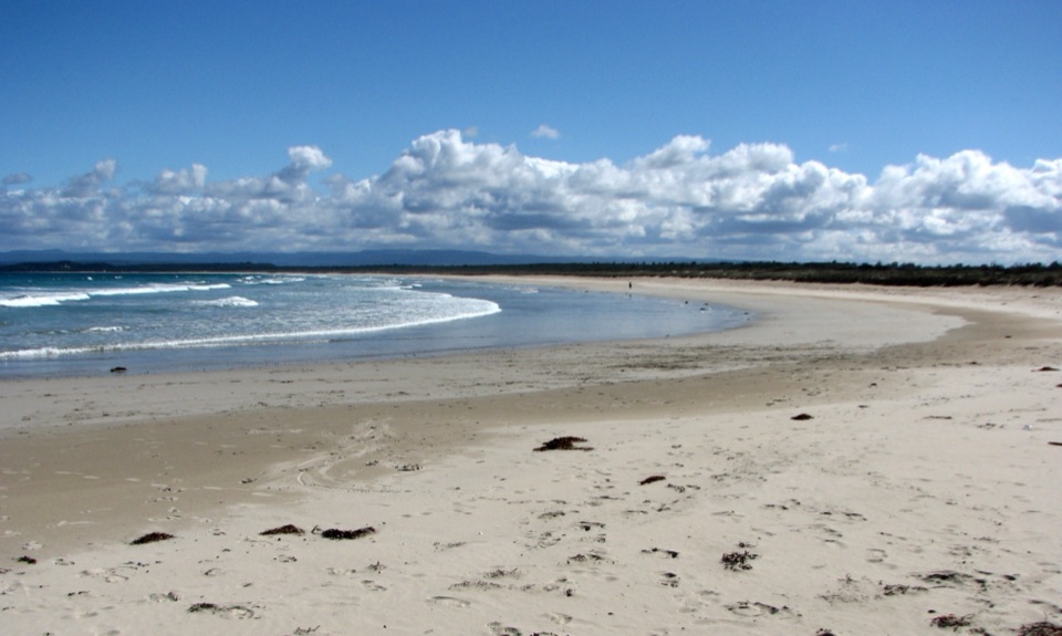
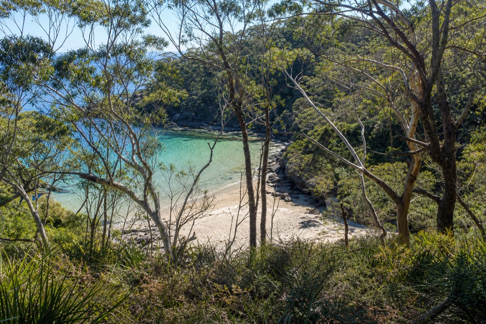
Kittys Beach, Blacks Harbour and Whiting Beach each have their own short access path from the circuit. They are optional and add walking beyond the 11.4 km core. The paths drop from bush track toward sand; the Kittys approach uses rough wooden steps, while the Whiting path finishes over a rocky shelf with small rock hops. Treat those beach entries as uneven footpaths, not easy boardwalks. Keep to the marked track and skip unofficial extensions along the rocks.
The circuit turns back through Blacks Waterhole, a quiet change from the exposed coastline and surf. It is a useful place to pause and listen for frogs and birds, though sightings vary. A walking party found boggy ground around the waterhole after rain, so allow extra care and time when the track is wet. Carry your own food and plenty of water; no food or drinking-water service has been verified on the route.
The 2.3 km one-way Steamers Beach track is an out-and-back from the same car park, not part of the 11.4 km circuit. It runs through tall eucalypt forest and tea tree to a steep flight of stairs down to an isolated beach below high cliffs and steep dunes. The dunes’ unusual colour is thought to come from tsunami-deposited material. The park warns against swimming at Steamers because of severe rips and large sharks; choose the smaller, more sheltered coves only if swimming is part of your plan.
Booderee means “bay of plenty” in Dhurga, a regional language. The Wreck Bay Aboriginal Community chose the name after the area was returned to its Aboriginal Traditional Owners. Wreck Bay people have cared for these lands and waters over many generations, and the circuit crosses that living cultural landscape. Stay on marked tracks, bring food and water, and leave pets at home: they are not permitted in the park. A vehicle entry pass is required; people entering on foot or bicycle do not need one.
Wildlife
 202 sightingsGrey KangarooMost seen around 6 PMSighting map
 26 sightingsEchidnaMost seen around 6 AMSighting map
 16 sightingsRed-necked WallabyMost seen around 6 PMSighting map
 116 sightingsSwamp WallabyMost seen around 6 PMSighting map
 93 sightingsKookaburraMost seen around 6 AMSighting map
 22 sightingsYellow-tailed Black CockatooMost seen around 5 PMSighting map
Sighting maps show where each species has been reported across Booderee. Wildlife moves, so no sighting is guaranteed.
Keep exploring
 ModerateSteamers Beach Walk4.6 km · 2 hr · At the trailheadA shaded bush track ends on an isolated, cliff-backed beach.
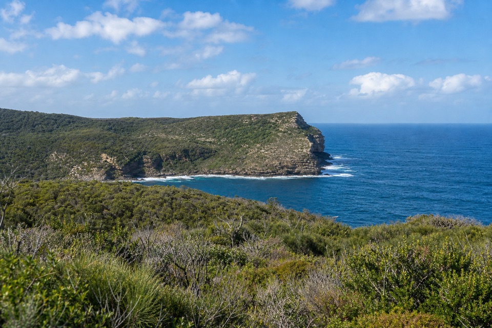 ModerateSt Georges Head Trail13.8 km · 5 hr · At the trailheadOcean cliffs after miles of quiet, undulating management track.
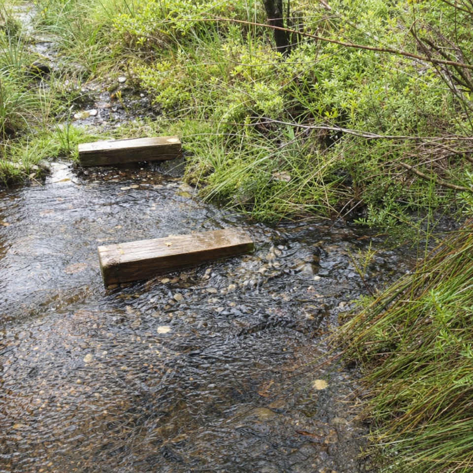 EasyTelegraph Creek Nature Trail2.4 km · 1 hr · 2.5 km awayAn easy loop through creekside forest, swamp and spring heath.
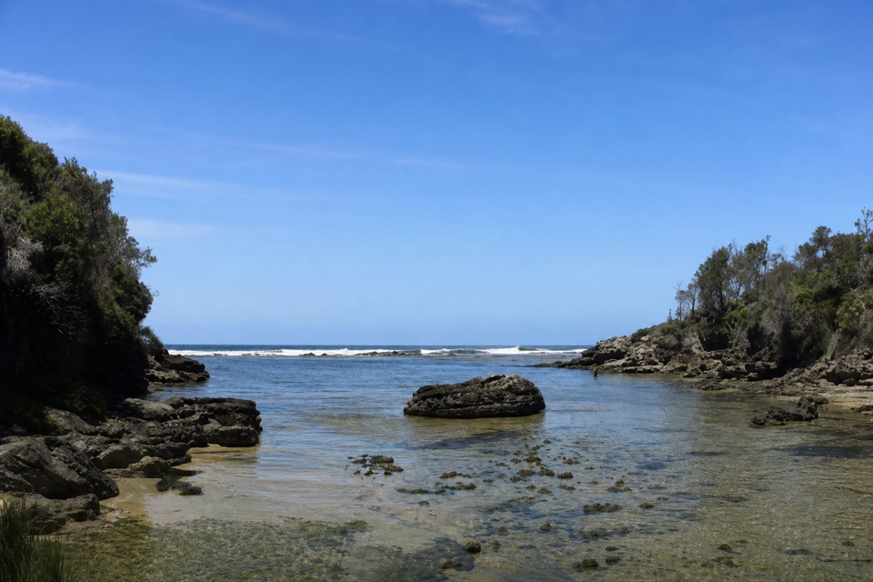 EasyStony Creek Walk0.5 km · 45 min · 2.9 km awayA quick walk to a sheltered rocky creek inlet.
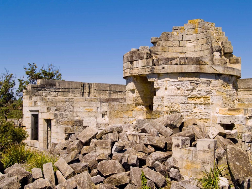 EasyCape St George Historic Lighthouse Walk0.7 km · 21 min · 3.5 km awayA short walk through lighthouse ruins above the open coast.
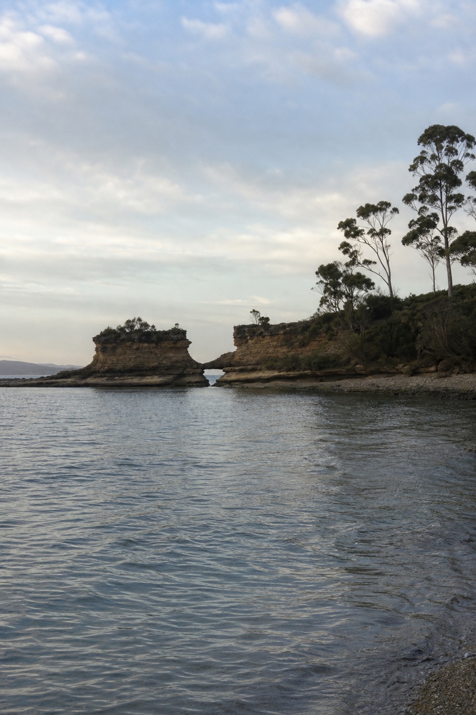 EasyHole in the Wall Track0.9 km · 20 min · 3.6 km awayA short gravel out-and-back to sheltered Hole in the Wall Beach.
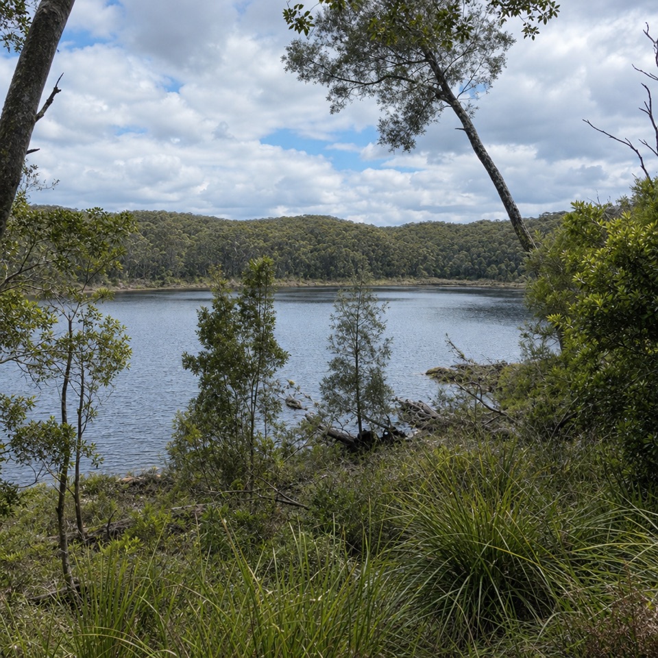 EasyForest Walk1.3 km · 30 min · 4.8 km awayA ferny garden loop with Lake McKenzie views in half an hour.
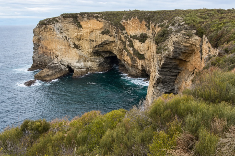 EasyMurrays Car Park to Hole in the Wall Low-Tide Walk2.2 km · 1 hr · 4.9 km awayA short low-tide shore walk to a sandstone opening.
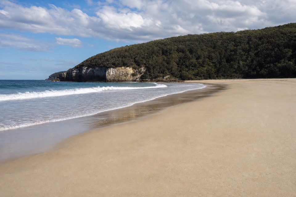 Beach · 1.2 km awaySteamers BeachA dramatic cove, reached by a steep forest walk and stairs.
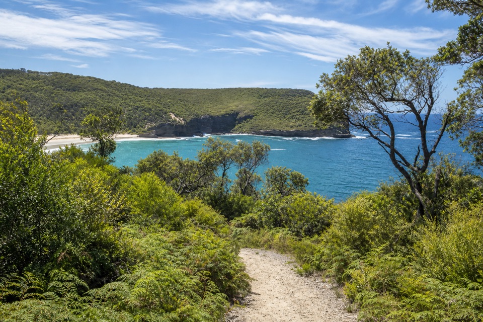 Sight · 1.5 km awayBrooks LookoutWide sea views worth adding to a longer headland walk.
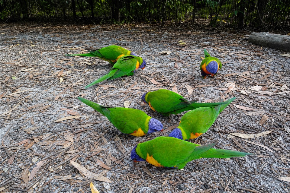 Campground · 2.7 km awayGreen Patch CampgroundHot showers and unpowered sites among the coastal bush.
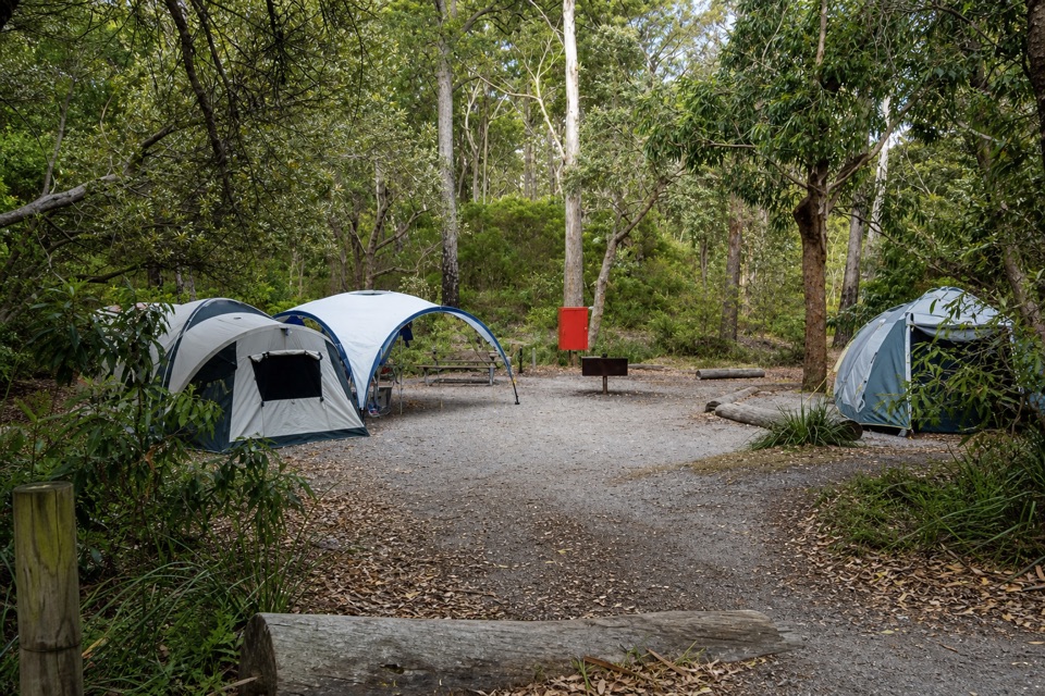 Campground · 2.8 km awayBristol Point CampgroundA bushland base within walking distance of two beaches.
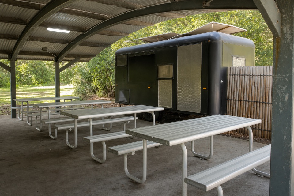 Food · 2.8 km awayKoffeeClan VanCoffee near Green Patch’s day-use area.
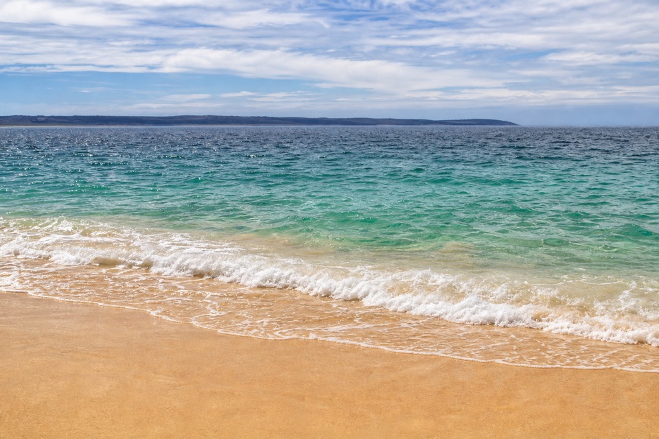 Beach · 2.8 km awayGreen Patch BeachSheltered water and beginner snorkelling make an easy beach day.
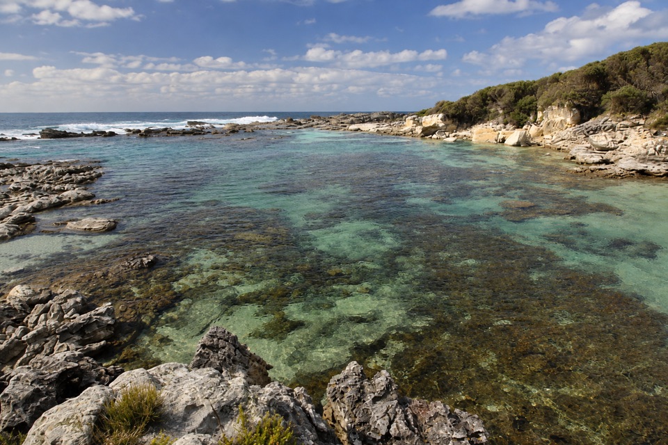 Beach · 2.9 km awayStony CreekClear pools behind wave-washed rock make this a quick snorkel stop.
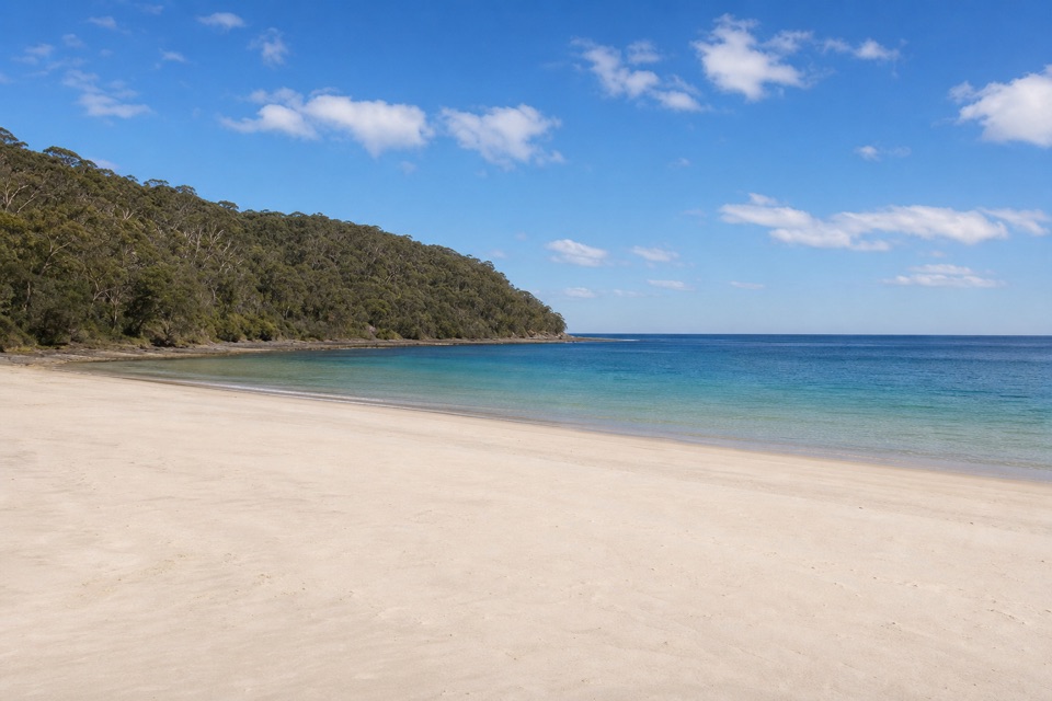 Beach · 3 km awaySummercloud BayA community surf spot with public ramp and picnic access.
Parkwolf’s Booderee ranking

The audio tour guide for the drive, plus offline maps, trails, and wildlife heatmaps for when the signal drops.