Parking
Begin at the Bryce Point parking area. Parking is also available at the other named access points; the shuttle serves Bryce, Inspiration, Sunset and Sunrise Points but not Fairyland, so arrange a ride for the full one-way walk.
#7 of 24 trails in Bryce Canyon
Bryce Canyon National Park, UT
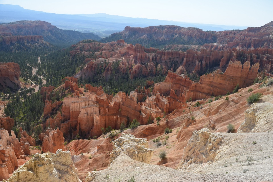
Five and a half rim miles link Bryce Amphitheater’s big overlooks.
Overview
Map & elevation
Plan your hike

The highest, rockiest slopes around here are a summer buffet for grizzly bears.
Bryce Canyon Tour Guide
Parkwolf is a GPS audio tour guide for Bryce Canyon National Park. As you drive, it chimes in with what’s ahead: hidden gems, upcoming stops, history, geology, and wildlife, right through your car’s speakers.
Recorded for this trailhead
Bryce Point: The Whole Amphitheater“You're approaching Bryce Point, where you can look across the whole hoodoo-filled amphitheater. Keep this stop if you want to see how the rows of towers fit together.”
Plays as you drive up to this trailhead in the Parkwolf Bryce Canyon Tour Guide.
More stories near here in the app
“Super fun and useful app! We especially enjoyed the guide as we drove through Bryce Canyon National Park.”


Trail guide
The Rim Trail is a 5.5-mile point-to-point walk from Bryce Point north to Fairyland Point, linking Inspiration, Sunset and Sunrise Points along the edge of Bryce Amphitheater. It strings together the park’s best-known hoodoo views without dropping into the formations below. If you want a long look at the amphitheater without a steep descent, this is the route to choose. Allow about three to four hours for the full walk, including stops. The Park Service calls it easy to moderate and lists 719 feet of total climbing. It trends downhill northbound overall, though there are rolling stretches, and the trail stays high enough that a steady grade can feel harder than it looks.
Start at Bryce Point and finish at Fairyland Point for the full one-way route. Parking is available at both ends, and the park shuttle serves Bryce, Inspiration, Sunset and Sunrise Points; Fairyland has no shuttle, so arrange a pickup or choose a served endpoint if you need the bus. You can also hike any single section and turn around. Restrooms are available at Sunset Point year-round and seasonally near Sunrise Point; water refill is available at Sunset Point year-round. There’s no trail reservation, though park entry fees may apply.
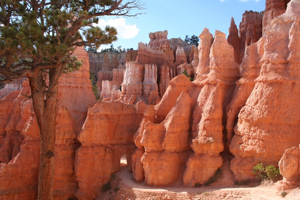
This first 1.5 miles follows the rim above the amphitheater. The open edge gives you a close look into the hoodoo-filled slopes and forested breaks below. It is one of the more exposed stretches, with some short climbs despite the route’s general northbound descent. The Bryce Point–Inspiration Point section is regularly closed in winter, so check access before planning this end of the walk.
The next 0.7 mile keeps to the rim and joins two major overlooks. Inspiration Point makes a useful turnaround if you have already walked up from Bryce Point, or a short one-way start if your ride can meet you farther north. The views keep changing as the canyon opens and closes around the trail.
Between Sunset and Sunrise Points, the trail is 0.5 mile of concrete, the only paved section. It is the easiest part and is designated accessible; the half-mile segment has about 34 feet of gain; walking it out and back makes a simple one-mile outing. This is also the only section where ordinary pets are allowed. Dogs are not permitted on the rest of the Rim Trail.
The final 2.8 miles continue north along the rim to Fairyland Point. This is the longest gap between named access points, so plan for the full stretch if you are walking all the way through. The route remains on the plateau edge; it does not descend into the hoodoo amphitheater. The full north end is a quieter way to extend the walk beyond the central viewpoints, but there is no shuttle at Fairyland.
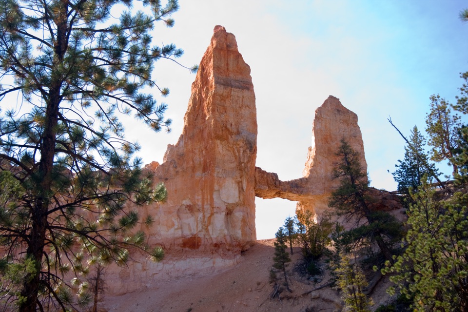
The rocks began as sediment in an ancient lake and floodplain roughly 50 million years ago. After the plateau rose, water and ice started the slow work of breaking it apart. Water seeps into cracks, freezes and expands, splitting the rock into walls, windows and finally the separate hoodoo towers. Rain also dissolves some of the mineral cement between layers, so the softer bands wear back faster. From the overlooks, look for the ledges and narrow necks that show those different layers at work.
At Bryce Point or Inspiration Point, leave a strip of pale rim rock in the foreground and frame the hoodoos beyond it; that gives a phone photo more depth than a tight crop of the orange formations.
Wildlife
 15 sightingsWapitiMost seen around 6 AMSighting map
 50 sightingsUtah Prairie DogMost seen around 9 AMSighting map
 331 sightingsMule DeerMost seen around 7 AMSighting map
 118 sightingsPronghornMost seen around 6 PMSighting map
 41 sightingsTurkey VultureMost seen around noonSighting map
 44 sightingsWild TurkeyMost seen around 7 AMSighting map
Sighting maps show where each species has been reported across Bryce Canyon. Wildlife moves, so no sighting is guaranteed.
Keep exploring
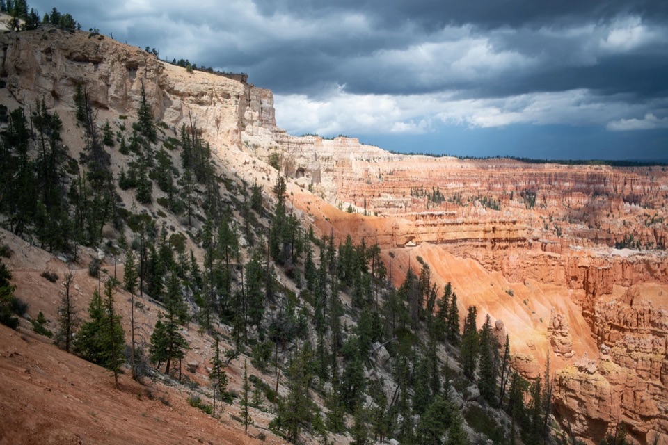 ChallengingBryce Amphitheater Traverse4.7 mi · 3.5 hr · At the trailheadA hoodoo descent, a clockwise trail stretch, and a steep rim climb.
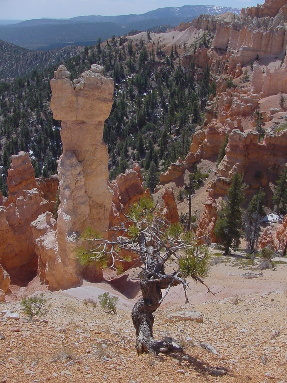 ChallengingHat Shop Trail4 mi · 3.5 hr · At the trailheadA steep descent to gray-capped hoodoos, then the climb back.
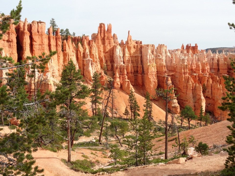 ChallengingPeekaboo Loop Trail5.5 mi · 3.5 hr · At the trailheadWall of Windows close up; a 1,560-foot climb back to the rim.
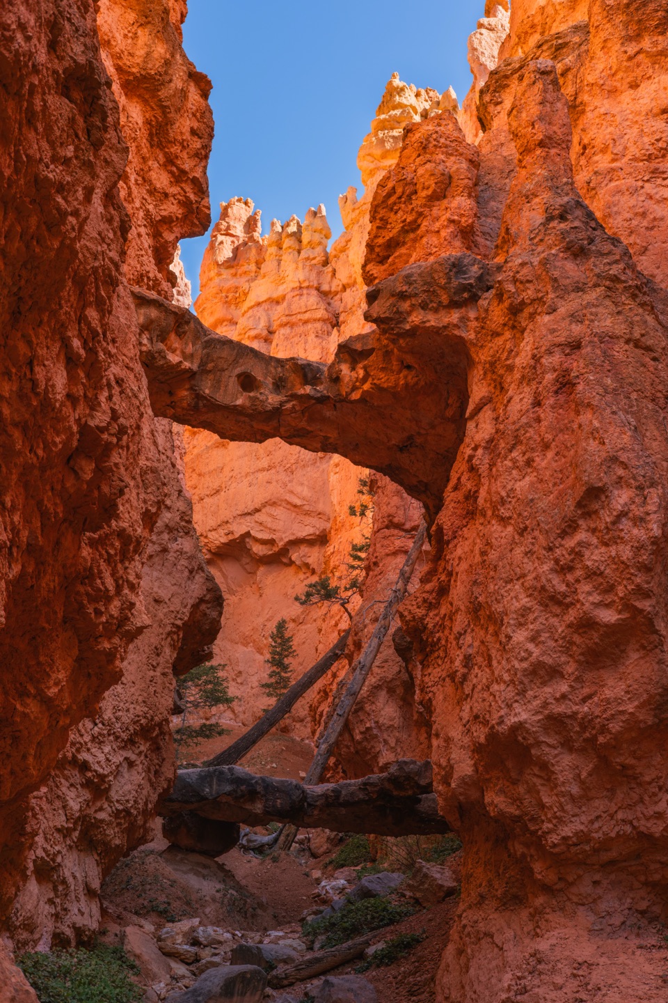 ModerateNavajo Loop Trail1.3 mi · 1.5 hr · 1.4 mi awayA steep descent to Thor’s Hammer, then a climb back out.
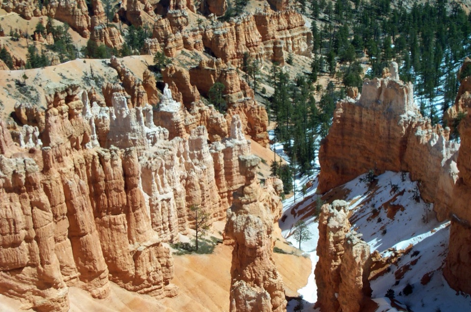 ChallengingNavajo/Peekaboo Combination Loop4.9 mi · 3.5 hr · 1.4 mi awayLink Navajo’s steep switchbacks to a clockwise lap around Peekaboo.
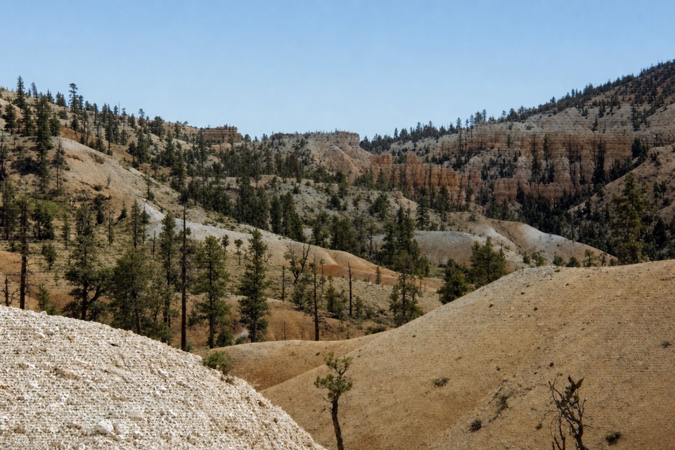 ModerateTropic Trail3.5 mi · 2 hr · 1.4 mi awayA quieter, below-rim way into the amphitheater.
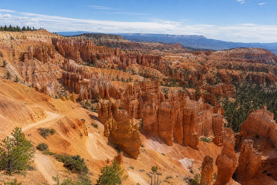 EasySunset Point to Sunrise Point Hike1 mi · 1 hr · 1.4 mi awayA paved half-mile rim walk with Bryce’s classic hoodoo view.
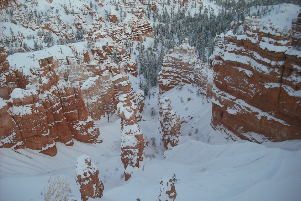 ChallengingFigure-8 Combination6.4 mi · 4.5 hr · 1.7 mi awayA long loop links Queen’s Garden, Peekaboo, Navajo, and the rim.
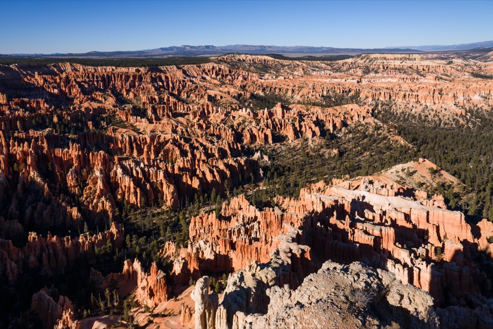 Sight · 0.1 mi awayBryce PointA sweeping view across the hoodoo amphitheater from its southern rim.
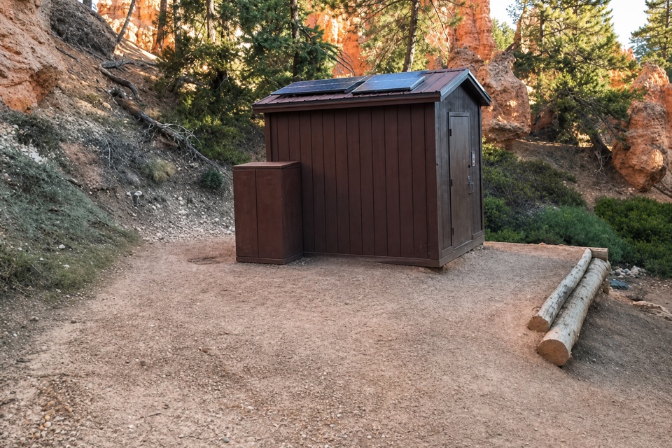 Restroom · 0.3 mi awayPeekaboo Loop RestroomA seasonal pit toilet on the west side of Peekaboo Loop.
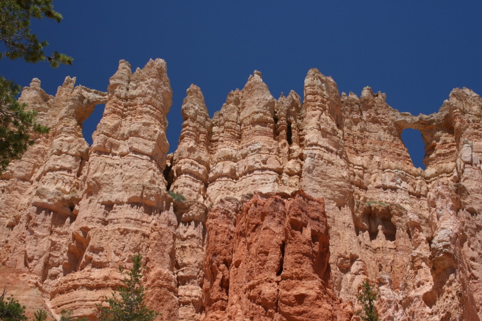 Sight · 0.4 mi awayWall of WindowsA close-up of this limestone fin comes with a full hike.
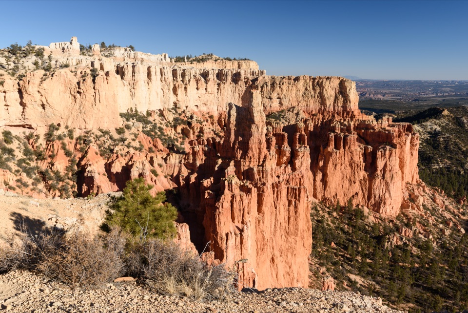 Sight · 1 mi awayParia ViewA quieter overlook above Yellow Creek’s 500-foot amphitheater
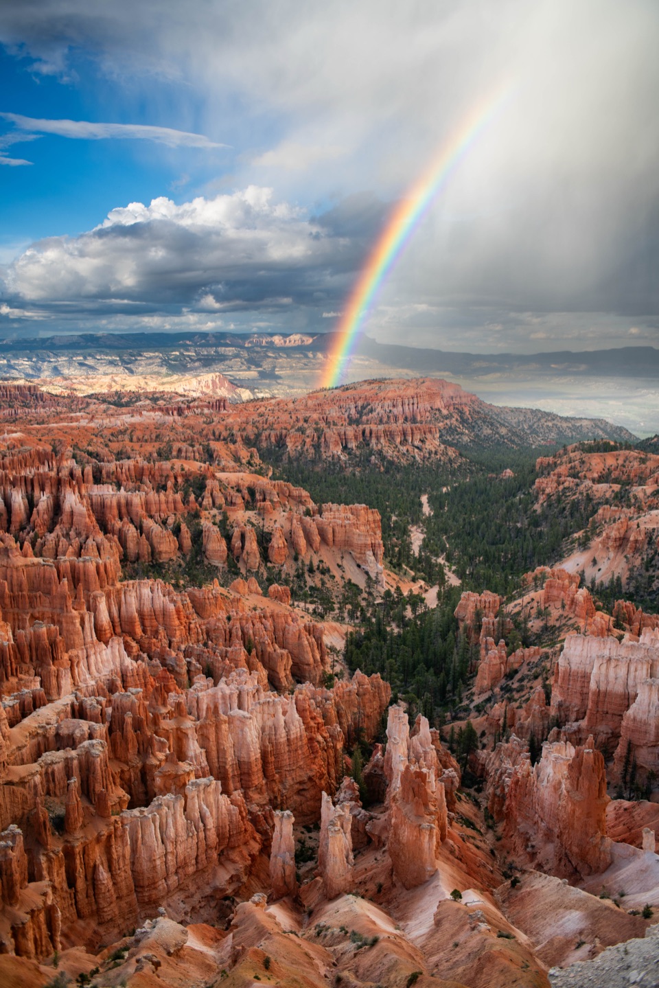 Sight · 1.1 mi awayInspiration PointThree levels offer different angles over the hoodoo amphitheater.
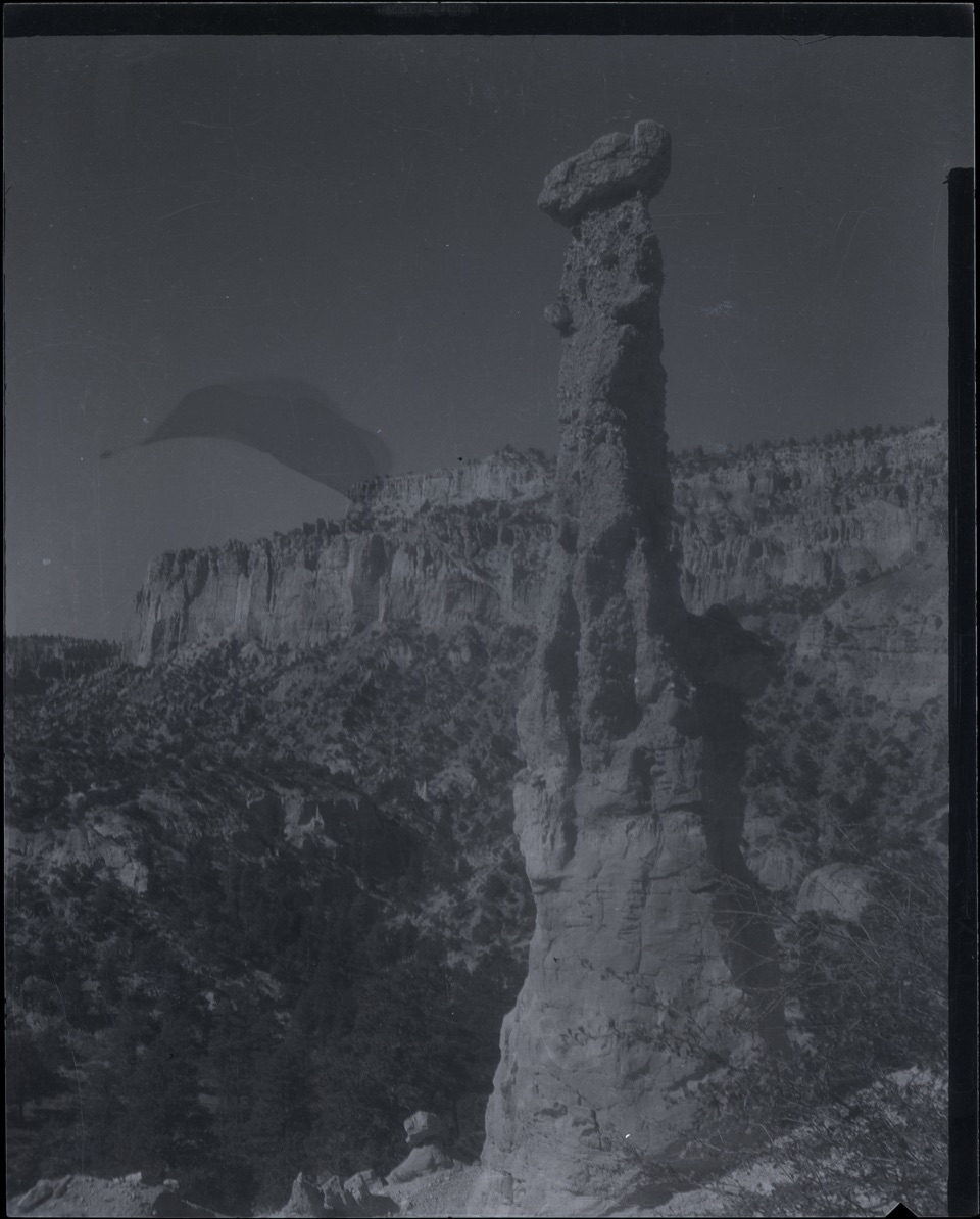 Sight · 1.1 mi awayHat ShopA demanding hike ends at strangely capped orange hoodoos.
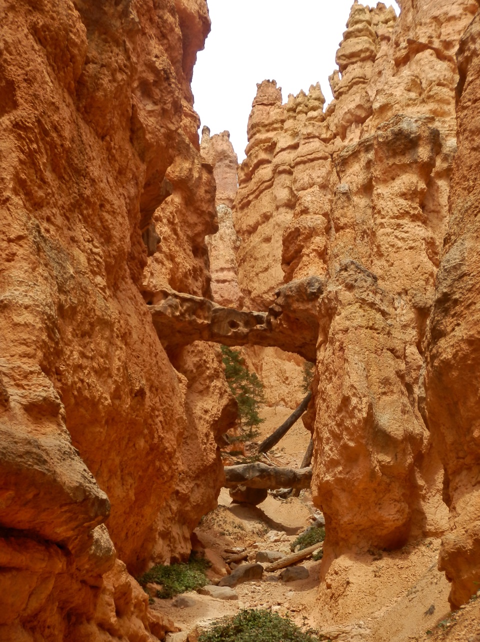 Sight · 1.2 mi awayTwo BridgesTwo rock spans tuck into a narrow, red-walled Navajo Loop canyon.
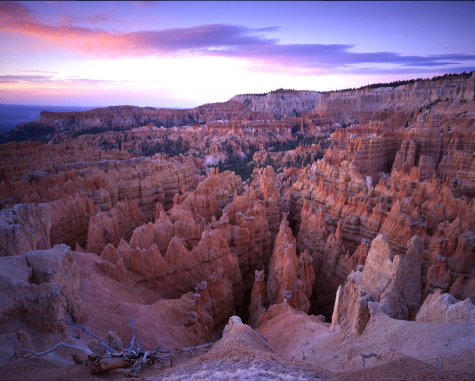 Sight · 1.3 mi awayWall StreetA tight-walled walk through hoodoos and towering Douglas-firs.
Parkwolf’s Bryce Canyon ranking

The audio tour guide for the drive, plus offline maps, trails, and wildlife heatmaps for when the signal drops.