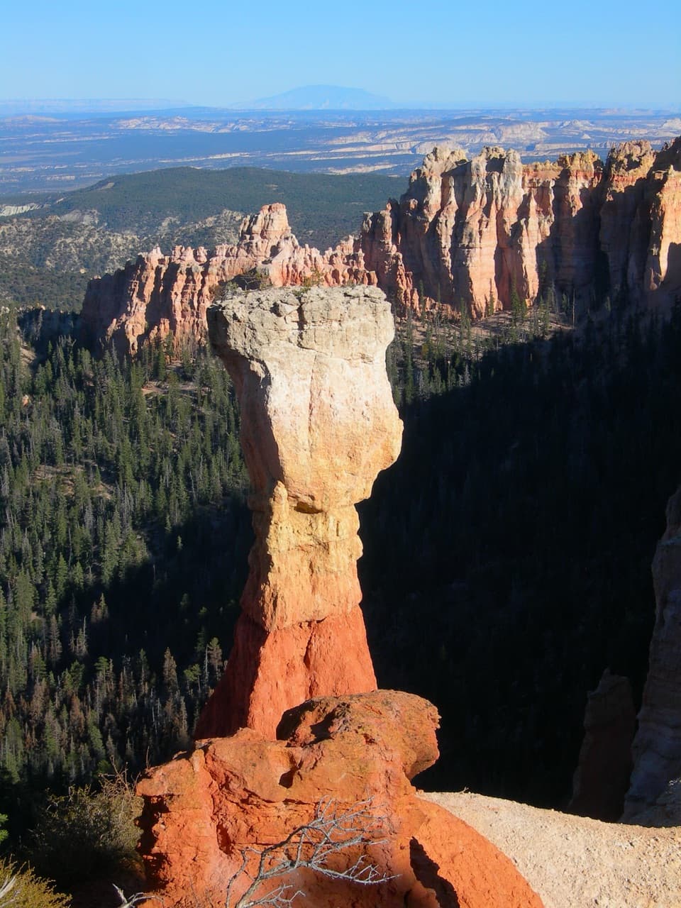
Tower Bridge in Bryce Canyon National Park

Sight · Bryce Canyon National Park

Tower Bridge

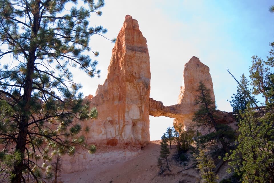
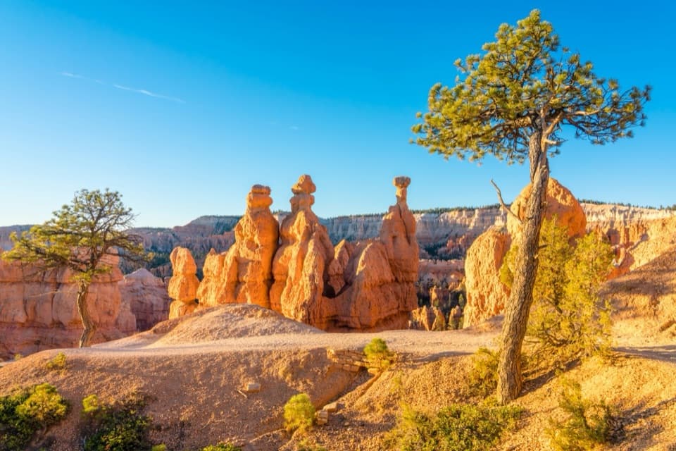
Two hoodoo towers linked by a natural bridge beneath the rim.

Photo: Unsplash License
Type
Sight
Nearest trail
1 mi
Audio stories
10 nearby
  • #13 of 29 sights

Hear the audio tour

Sunrise Point: Pines Above the Hoodoos

Overview

About Tower Bridge

Why stop

  • A distinctive rock bridge among Bryce’s hoodoos

Heads up

  • Reaching it takes a substantial hike and uphill return

Map

Where it is

Loading the Bryce Canyon map
Full map
SightTower Bridge37.63224, -112.14472
Keep this map with you offline in the Parkwolf app

Plan your stop

Before you go

3 active Bryce Canyon alerts

  • ClosureWall Street closed after recent rainsWall Street is closed until further notice because of recent rains. - Other park trails are open, but hikers are urged to use caution. Check current park conditions before hiking.Official details
  • CautionUnder-the-Rim Trail damage and hiker advisoryUnder-the-Rim Trail conditions are deteriorated in many places; hike at your own risk. - Use a map and be able to navigate in the backcountry; strong wayfinding skills are essential.Official details

See all 3 alerts
A park ranger sits on a dash-mounted phone, talking, as Parkwolf’s Tour Guide plays “Army Cutworm Moths: A Grizzly Bear Buffet” on Grand Loop Road below Dunraven Pass in Yellowstone
Parkwolf Tour GuideThe highest, rockiest slopes around here are a summer buffet for grizzly bears.

Bryce Canyon Tour Guide

Your drive to Tower Bridge, narrated.

Parkwolf is a GPS audio tour guide for Bryce Canyon National Park. As you drive, it chimes in with what’s ahead: hidden gems, upcoming stops, history, geology, and wildlife, right through your car’s speakers.

See the Bryce Canyon audio tour

Recorded for this place

Sunrise Point: Pines Above the Hoodoos
0:00 / 0:33
“You're coming up on Sunrise Point, overlooking the northern end of the amphitheater. After the big view, look for Stilts, a limber pine with roots exposed where the rim has eroded beneath it.”

Plays as you drive up to Tower Bridge in the Parkwolf Bryce Canyon Tour Guide.

More stories near here in the app

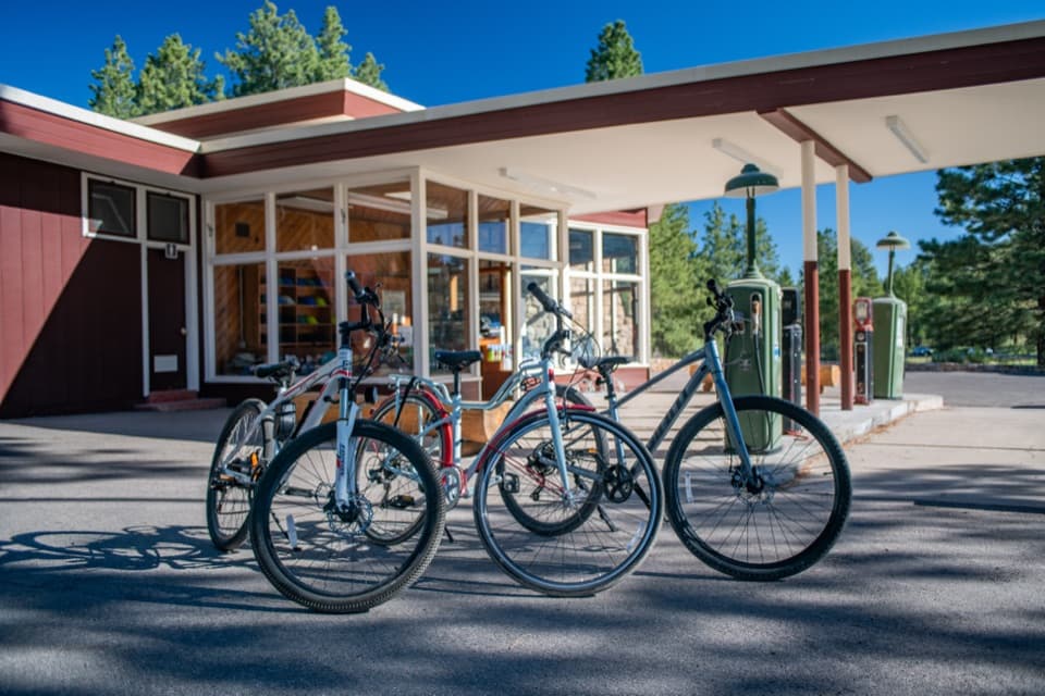
  • Bryce Canyon General Store and the Old Service Station
  • Fairyland Point: Look for Sinking Ship
  • North Campground and the Outdoor Theater
  • Bryce Canyon Lodge: History and a Meal
  • 30 audio storiesacross Bryce Canyon’s roads, triggered by GPS as you drive
  • Wildlife heatmapsfor Wapiti, Utah Prairie Dog, Mule Deer, and 13 more
  • Works offlinemaps, 24 trails, 41 places, and audio download before you lose signal
  • CarPlay readysimple controls built for the drive
★★★★★
“Super fun and useful app! We especially enjoyed the guide as we drove through Bryce Canyon National Park.”
Rae607App Store review
Download Parkwolf on the App StoreGet Parkwolf on Google Play

4.7 from 8,600+ ratings

Guide

More about Tower Bridge

What you’re walking toTower Bridge is a natural rock span joining two tall hoodoo towers below the rim in a shady…

Tower Bridge is a natural rock span joining two tall hoodoo towers below the rim in a shady part of Fairyland Loop. The formation is reached by a quarter-mile spur from the loop. It’s most rewarding as a stop on a Fairyland hike; going out and back for the bridge alone still means a 3-mile hike with 760 feet of climbing. Plan on 2 to 3 hours from the trailhead near Sunrise Point.

The route and climbStart at the Tower Bridge trailhead north of Sunrise Point, where parking is available.

Start at the Tower Bridge trailhead north of Sunrise Point, where parking is available. The trail descends from the rim into the canyon, then returns uphill the same way. The park rates it moderate; the natural surface is not considered accessible. Carry water for the climb back out. There’s no food, restroom, or water at the arch; seasonal restrooms and a water-fill station are available at the General Store near Sunrise Point. Pets aren’t allowed on the trail; service animals are permitted.

Get a clearer look at the spanAt the spur’s end, you’re close beneath the bridge, and trees can interrupt a full view from…

At the spur’s end, you’re close beneath the bridge, and trees can interrupt a full view from there. Look back toward the arch from higher on the trail for a less obstructed angle. The connected towers stand out best with some of the surrounding slope in the frame, which gives the span a sense of scale.

How Bryce’s hoodoos take shapeThe park’s hoodoo layers began as sediment laid down in an ancient lake and floodplain basin…

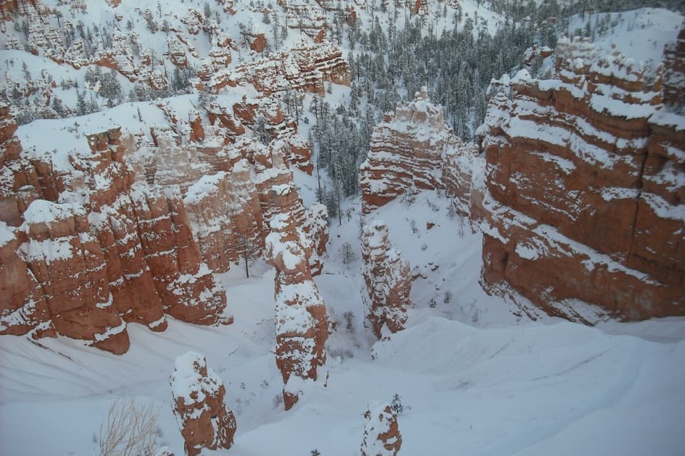
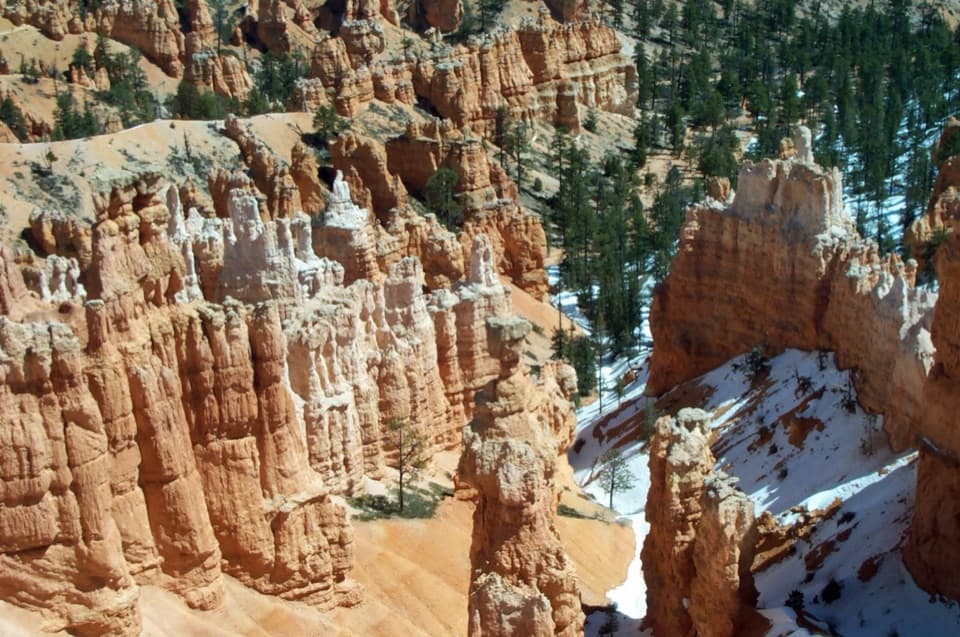
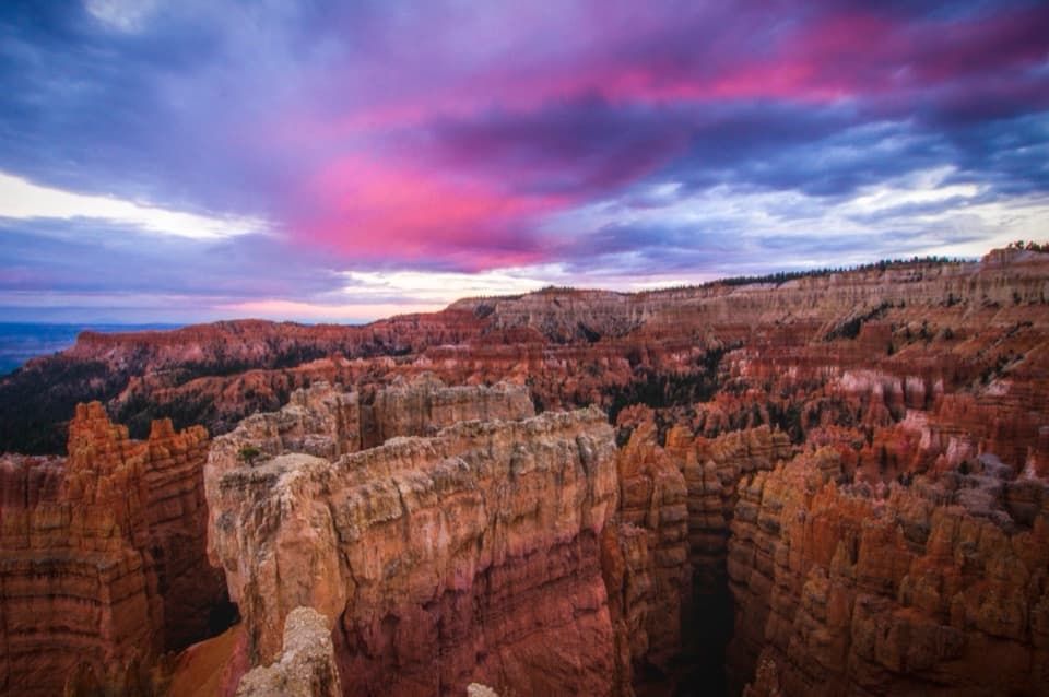
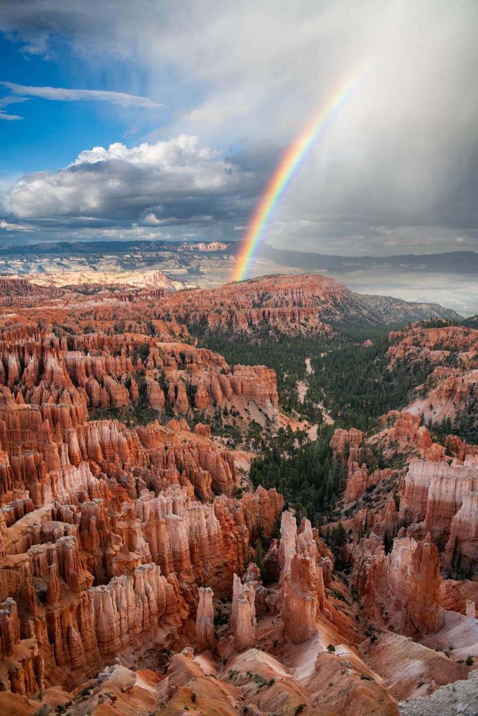
The park’s hoodoo layers began as sediment laid down in an ancient lake and floodplain basin about 50 million years ago. After uplift, rain and repeated freeze-thaw cycles worked cracks wider, cutting the plateau into walls, windows, and isolated towers. Tower Bridge is one of those eroded forms, with a rock span still linking its neighboring towers.

Wildlife

Wildlife in Bryce Canyon

All Bryce Canyon wildlife maps

Sighting maps show where each species has been reported across Bryce Canyon. Wildlife moves, so no sighting is guaranteed.

Keep exploring

Near Tower Bridge

See it all on the map

Trails nearby

More stops nearby

Parkwolf’s Bryce Canyon ranking

Top sights in Bryce Canyon

All 41 places
  1. 1Bryce PointSight
  2. 2Sunset PointSight
  3. 3Inspiration PointSight
  4. 4Thor’s HammerSight
  5. 5Sunrise PointSight
  6. 6Natural BridgeSight

Take Parkwolf to Bryce Canyon.

The audio tour guide for the drive, plus offline maps, trails, and wildlife heatmaps for when the signal drops.

4.7 from 8,600+ ratings

Download Parkwolf on the App StoreGet Parkwolf on Google Play