Parking
Start at Loch Morlich Beach Car Park, signed as The Beach. Parking is charged; toilets and a café are at the beach.

Cairngorms National Park, SC
A short forest loop to Loch Morlich’s sandy shore.
Overview
Map & elevation
Plan your hike

The highest, rockiest slopes around here are a summer buffet for grizzly bears.
Cairngorms Tour Guide
Parkwolf is a GPS audio tour guide for Cairngorms National Park. As you drive, it chimes in with what’s ahead: hidden gems, upcoming stops, history, geology, and wildlife, right through your car’s speakers.
See the Cairngorms audio tourRecorded for this trailhead
Loch Morlich Beach“Loch Morlich Beach is coming up, a sandy freshwater shore backed by pinewoods, with mountains across the water.”
Plays as you drive up to this trailhead in the Parkwolf Cairngorms Tour Guide.
More stories near here in the app
“Fantastic app with many points of information… It’s great to just turn on while you’re driving and it gives you an audio tour of the national Park. We love it!!!!”


Trail guide
The Beach Trail is an easy 1.5-mile loop from Loch Morlich Beach Car Park, taking about an hour. It links mixed woodland, the Allt Mor burn and Loch Morlich’s golden shore. Most of the path is broad, smooth gravel; one section follows smooth pavement beside the road, and a few short moderate slopes make it less than flat. Choose it for an easy change of scene, not a long wilderness hike.
The circuit meanders through pine, birch and alder woodland beside the Allt Mor burn. Expect a mix of gravel and a short paved stretch rather than one uniform track. The walk is easy overall, though the short slopes are noticeable.
The beach is the payoff: Loch Morlich is known as Britain’s highest beach and Scotland’s only freshwater beach with a Rural Beach Award. On the eastern shore, a leaning pine frames the loch and the mountain skyline. Look for it from the sand if you want a photo that captures the place.
Wildlife
 159 sightingsRed DeerMost seen around 7 AMSighting map
 63 sightingsReindeerMost seen around 6 PMSighting map
 102 sightingsOspreyMost seen around 5 PMSighting map
 37 sightingsBlack GrouseMost seen around 4 AMSighting map
 72 sightingsRed GrouseMost seen around 6 PMSighting map
 82 sightingsPine MartenMost seen around 9 PMSighting map
Sighting maps show where each species has been reported across Cairngorms. Wildlife moves, so no sighting is guaranteed.
Keep exploring
 ModerateLoch Morlich Trail5.6 km · 2 hr · At the trailheadSandy shores and Cairngorm views on a low-climb lochside loop.
 ChallengingMeall a’ Bhuachaille Circuit8 km · 4 hr · 0.5 km awayA green lochan, a bothy and a proper hill summit.
 ModerateRyvoan Trail5.6 km · 2.5 hr · 0.5 km awayAncient pinewoods lead to a vividly green woodland lochan.
 ModeratePine Knoll Trail2 km · 45 min · 1 km awayA short loop beneath twisted pines, with wood ants and summer dragonflies.
 ChallengingBynack More from Glenmore22.5 km · 7 hr · 1.5 km awayA long Munro out-and-back to a wide view over Moray.
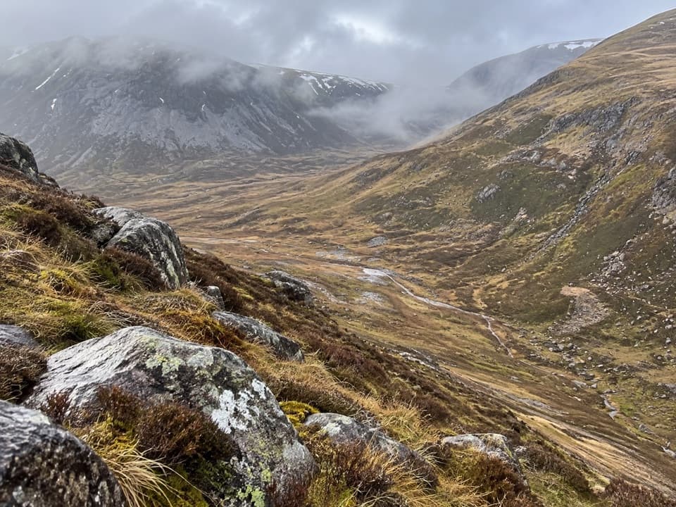 ChallengingLairig an Laoigh30.6 km · 9 hr · 1.5 km awayA remote 19-mile crossing with rough moorland and a serious Avon ford.
 ModerateLodge Trail3.9 km · 1.5 hr · 1.5 km awayPinewoods, a footbridge and dog-grave headstones near the lodge.
 ModerateRyvoan Pass: Glenmore to Nethy Bridge15.7 km · 4.8 hr · 1.6 km awayWalk from Glenmore through the pass to Nethy Bridge.
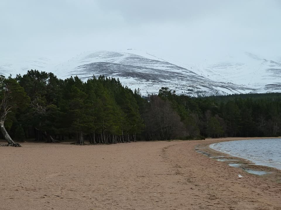 Beach · 0.1 km awayLoch Morlich BeachA sandy freshwater beach with the Cairngorms across the water.
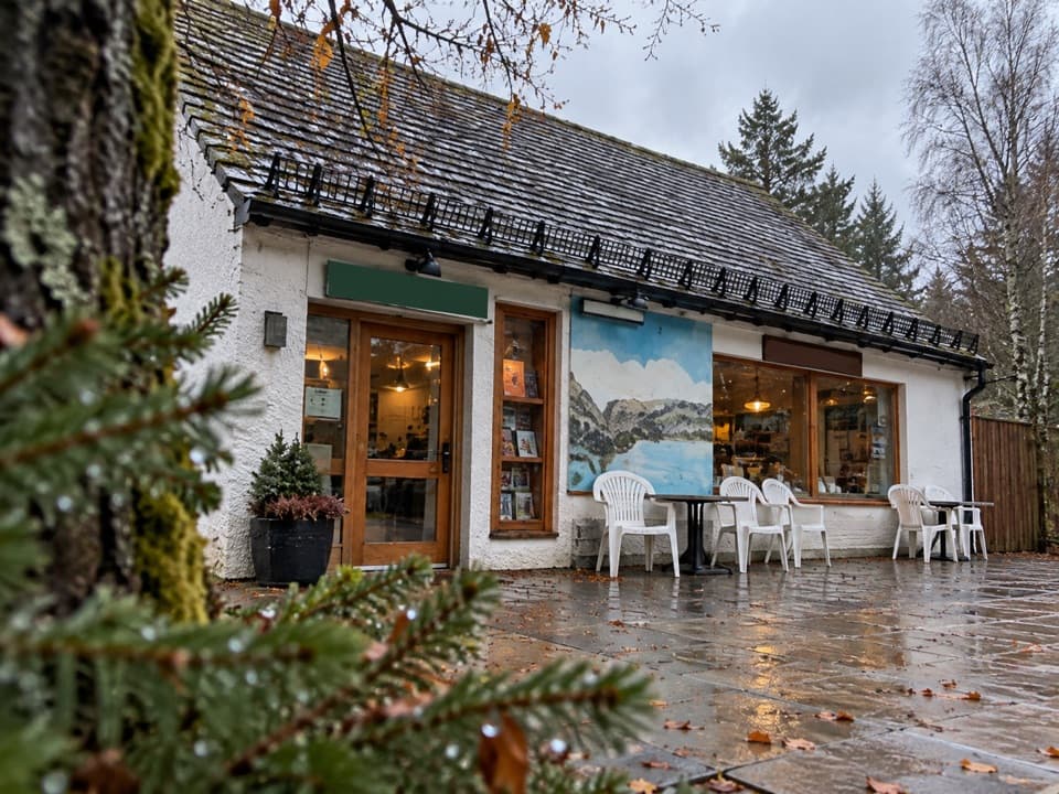 Restaurant · 0.2 km awayThe Pine Marten Bar & ScranAn alpine-style meal stop for hikers, skiers and campers.
 Campground · 0.4 km awayGlenmore CampsitePine-forest camping, with Loch Morlich’s sandy beach a short walk away.
 Visitor center · 0.5 km awayGlenmore Visitor CentreGet local walk advice before choosing your Glenmore route.
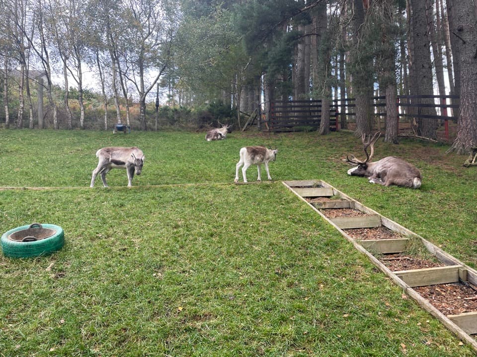 Sight · 0.6 km awayCairngorm Reindeer CentreA mountain walk brings you close enough to hand-feed reindeer.
 Sight · 1 km awayHayfieldA Glenmore stop for a pine-lined walk and snow-day sledging.
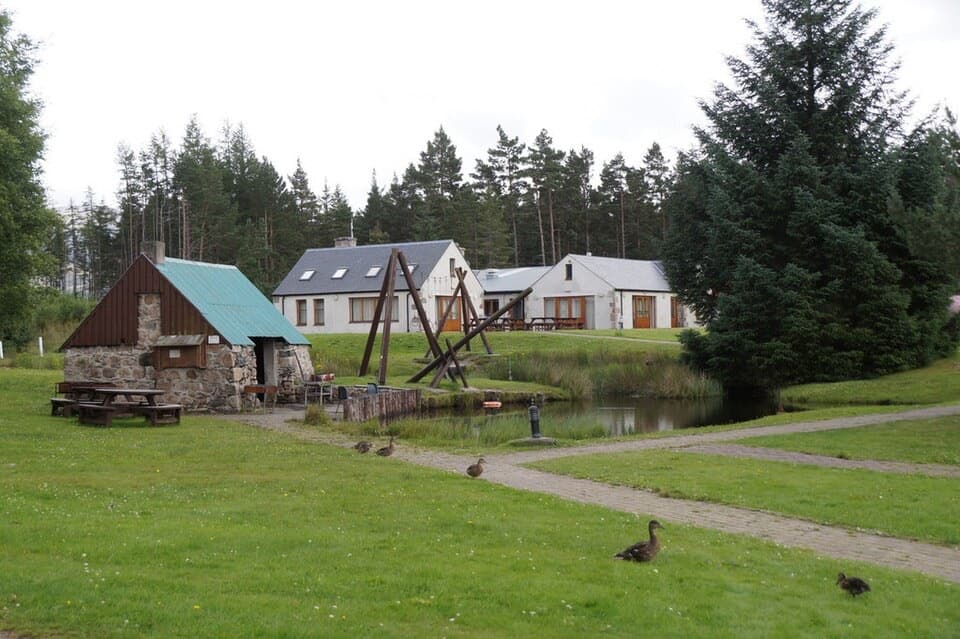 Lodging · 2.2 km awayBadaguish Outdoor CentreA forest base for lodges, heated pods and group camping
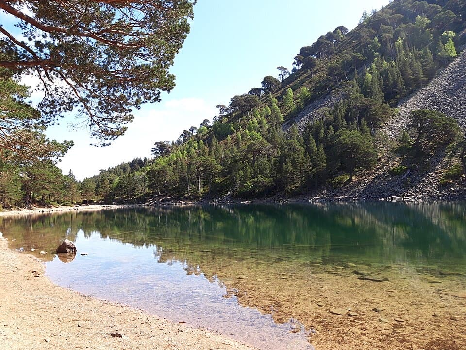 Sight · 2.9 km awayAn Lochan UaineA vivid green loch at the end of a proper woodland walk.
Parkwolf’s Cairngorms ranking

The audio tour guide for the drive, plus offline maps, trails, and wildlife heatmaps for when the signal drops.



