Parking
Use Loch Moraig car park beside the end of the public Monzie road, before the cattle grid; parking beyond it is prohibited. The lot has about 60 spaces and no toilets. A charge may apply; check current terms.
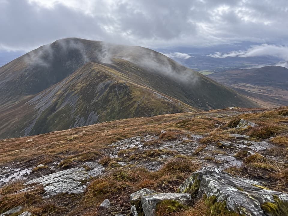
#14 of 260 trails in Cairngorms
Cairngorms National Park, SC
Three Munros linked by an open, rugged ridge loop.
Overview
Map & elevation
Plan your hike

The highest, rockiest slopes around here are a summer buffet for grizzly bears.
Cairngorms Tour Guide
Parkwolf is a GPS audio tour guide for Cairngorms National Park. As you drive, it chimes in with what’s ahead: hidden gems, upcoming stops, history, geology, and wildlife, right through your car’s speakers.
See the Cairngorms audio tourRecorded for this trailhead
Loch Moraig and Beinn a’ Ghlò“You're nearing Loch Moraig, the starting point for Beinn a’ Ghlò’s three-Munro circuit.”
Plays as you drive up to this trailhead in the Parkwolf Cairngorms Tour Guide.
More stories near here in the app
“Fantastic app with many points of information… It’s great to just turn on while you’re driving and it gives you an audio tour of the national Park. We love it!!!!”


Trail guide
Beinn a’ Ghlò Circuit is a roughly 22 km (13.75 mi) loop from Loch Moraig over Càrn Liath, Bràigh Coire Chruinn-bhalgain and Càrn nan Gabhar, returning around Beinn Bheag to the same start. The full circuit is listed at 1,239 m of ascent and 8–10 hours; plan a mountain day. This version of the circuit returns beside the burn from Bealach an Fhiodha. Shorter published figures describe a different descent via Airgiod Bheinn.
The distance, climb and rough ground make this a strenuous outing, despite clear paths on much of the ridge. Expect steep drops between summits, exposed open terrain and a tiring final climb. In cloud, navigation from Bràigh Coire Chruinn-bhalgain toward the next bealach is difficult; one described path fades before a steeper eastern descent. Carry a map and compass and know how to use them. The return is boggy and crosses burns several times. No food or drinking-water facilities are reported along the route.
Start at Loch Moraig car park beside the end of public Monzie road, before the cattle grid; parking beyond it is prohibited. Walk briefly along the road, turn right through the gate by the plantation and follow the estate track for about 2 km. A grassy fork and fence gates lead toward Càrn Liath. Pitched stones cross wet ground before a steep climb up a repaired erosion scar. Pass old grouse-butt remains and a large cairn; the true 975 m summit cairn lies beyond the trig point.
From Càrn Liath the path follows an undulating ridge, curving around rises before dropping to a bealach. The next climb eases around a scooped corrie to Bràigh Coire Chruinn-bhalgain’s summit cairn. From here, keep track of the line in poor visibility: route descriptions either cross the minor summit east of point 1016 m and follow the plateau edge, or skirt left on a path that fades before a steeper descent joins a clearer track lower down.
Descend about 150 m to Bealach an Fhiodha, then climb by a rising traverse onto Càrn nan Gabhar. The gradient eases along the ridge, but the ground becomes stony. Pass the prominent earlier cairn and the trig point; the true summit is the well-built cairn farther along, at 1,129 m. It is the highest of the three tops, with views toward the head of Glen Tilt. Retrace to the bealach rather than continuing over Airgiod Bheinn.
From the bealach, descend beside the burn. The lower path becomes boggy, and the described line crosses to clearer tread on the opposite bank. Cross the burn twice more and then Allt na Beinn Bige. A better-built path contours around Beinn Bheag to an estate track; pass through a gate and rejoin the outward route near the hut below Càrn Liath. Retrace the opening track and road to Loch Moraig. Keep time and energy for this long finish.
The wider Beinn a’ Ghlo conservation area includes alpine heath, species-rich grassland, limestone slopes and tufa-forming springs. Its records include rare montane plants such as yellow oxytropis and mountain avens, but these are landscape-scale records, not promised sightings. The walk itself shifts from a repaired pitched path to open ridges, stony summit ground and wet lower burns.
Loch Moraig has about 60 parking spaces and no toilets. A parking charge may apply; check current terms before travelling. No food or water stop is reported at the start or along the route.
Wildlife
 159 sightingsRed DeerMost seen around 7 AMSighting map
 63 sightingsReindeerMost seen around 6 PMSighting map
 102 sightingsOspreyMost seen around 5 PMSighting map
 37 sightingsBlack GrouseMost seen around 4 AMSighting map
 72 sightingsRed GrouseMost seen around 6 PMSighting map
 82 sightingsPine MartenMost seen around 9 PMSighting map
Sighting maps show where each species has been reported across Cairngorms. Wildlife moves, so no sighting is guaranteed.
Keep exploring
 ChallengingBen Vuirich Circuit22.9 km · 7.8 hr · At the trailheadA pathless circuit to a summit cairn above Loch Loch.
 ChallengingThe Minigaig41 km · 14 hr · 3 km awayA 25.5-mile historic crossing with real navigation demands.
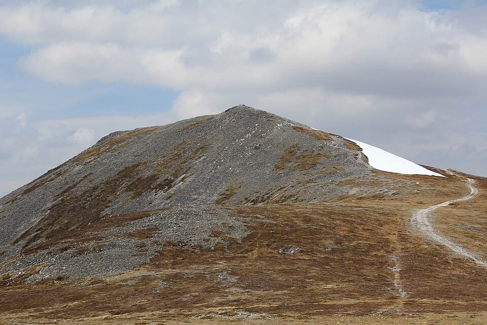 ChallengingCàrn a’ Chlamain from Glen Tilt25.3 km · 8 hr · 3.2 km awayA long Glen Tilt approach to a boulder-topped Munro.
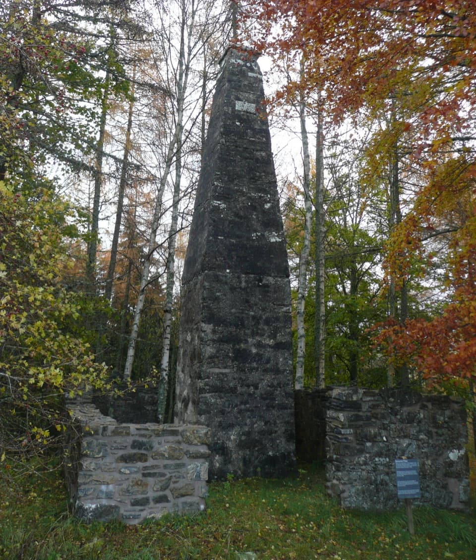 EasyBalvenie Pillar Path1.6 km · 45 min · 3.2 km awayA short loop to the pillar marking the estate's last public hanging.
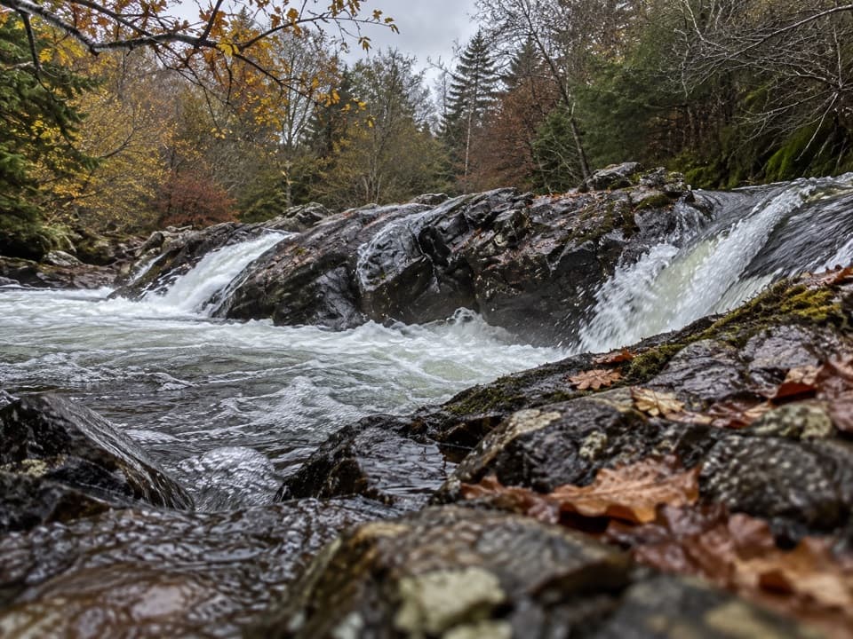 ModerateGlen Tilt Circuit16.1 km · 4.5 hr · 3.2 km awayA river-gorge circuit with old settlements and a six-mile shortcut.
 ModerateFarm and Forest Walk6.4 km · 2.3 hr · 3.2 km awayGreen arrows lead to a high view up Glen Tilt
 ModerateGlen Banvie and Bruar Circuit16.1 km · 4.5 hr · 3.2 km awayMoorland, pine woods and a waterfall detour reward a long day out.
 EasyBanvie Burn Walk6.1 km · 2.5 hr · 3.2 km awayA gorge-side loop to bridges, rhododendrons and a three-arched folly.
 Visitor center · 3.5 km awayBlair Atholl Information CentreA quick orientation stop, with local history and family activities.
 Sight · 3.5 km awayAtholl Country Life MuseumSee the moved post office and a doctor’s winter-call sleigh.
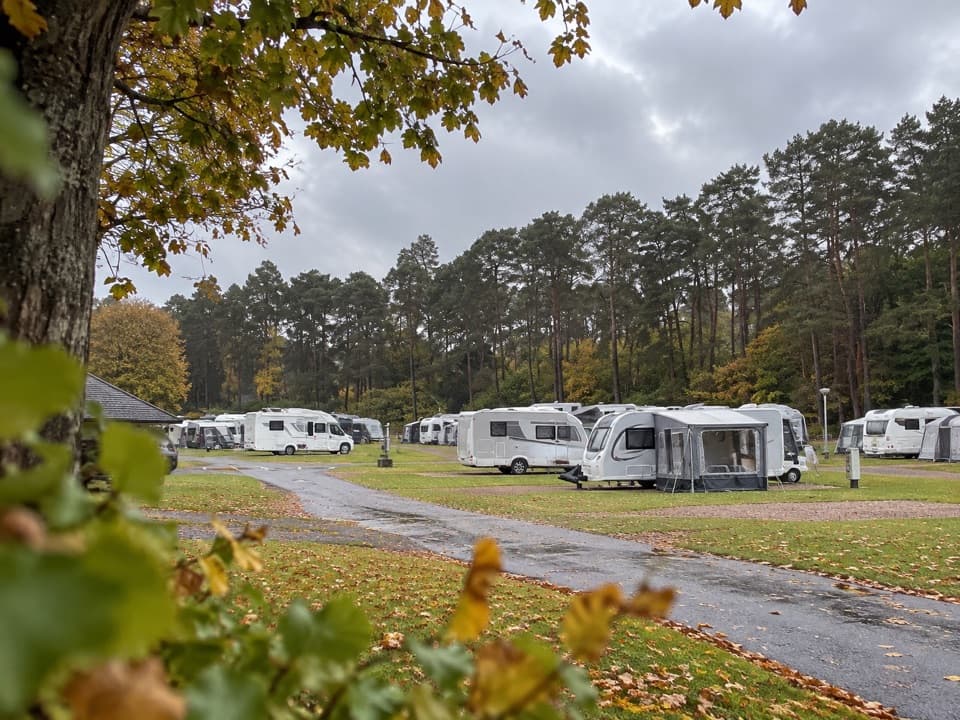 Campground · 3.6 km awayBlair Castle Caravan ParkA practical base for castle gardens and woodland walks
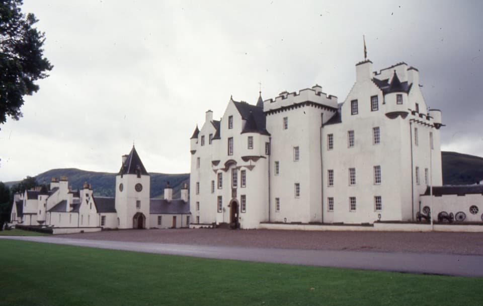 Sight · 4.1 km awayBlair Castle & GardensFurnished rooms, formal gardens and 750 years of castle history
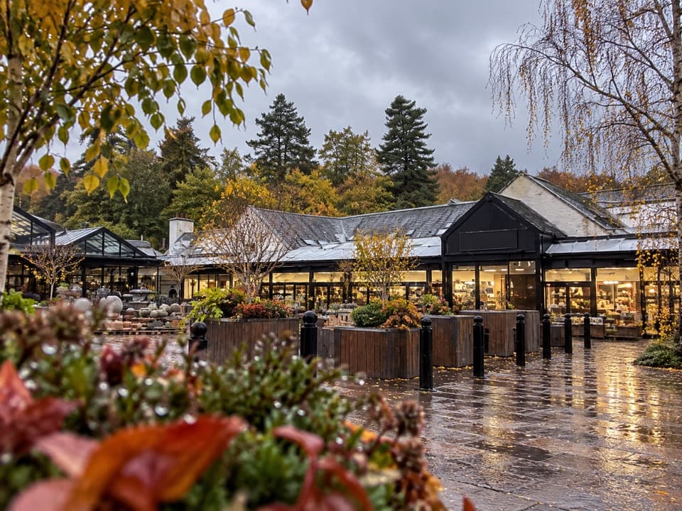 Store · 8.5 km awayHouse of BruarA country-store and food stop beside the Falls of Bruar.
 Sight · 8.7 km awayFalls of BruarA wooded gorge walk with cascades, old bridges and a rock arch
Parkwolf’s Cairngorms ranking

The audio tour guide for the drive, plus offline maps, trails, and wildlife heatmaps for when the signal drops.





