Parking
The described start is Nethybridge Hotel on Main Street. Public parking at the hotel is not confirmed; arrange parking in Nethy Bridge before setting out. The small Ballintuim car park is about 9 km into the circuit, not at the trailhead.

Cairngorms National Park, SC
A full-day, 15-mile loop through Dorback and Abernethy Forest.
Overview
Map & elevation
Plan your hike

The highest, rockiest slopes around here are a summer buffet for grizzly bears.
Cairngorms Tour Guide
Parkwolf is a GPS audio tour guide for Cairngorms National Park. As you drive, it chimes in with what’s ahead: hidden gems, upcoming stops, history, geology, and wildlife, right through your car’s speakers.
See the Cairngorms audio tourRecorded for this trailhead
Explore Abernethy and the River Nethy“You're coming up on Explore Abernethy, the small visitor centre inside Nethy Bridge Community Centre. Stop here for forest maps and a look at the wildlife sightings board before choosing a walk.”
Plays as you drive up to this trailhead in the Parkwolf Cairngorms Tour Guide.
More stories near here in the app
“Fantastic app with many points of information… It’s great to just turn on while you’re driving and it gives you an audio tour of the national Park. We love it!!!!”


Trail guide
Dorback Drove Roads is a 15-mile (24 km) loop from Nethybridge Hotel through open ground around Dorback and into Abernethy Forest. Allow about six to seven hours. It is a long day, with roughly the first 9 km on minor roads before the route turns into fields, rough footpaths and forest tracks. Choose it for the changing landscape and the old Nethy-to-Dorback route; skip it if you want a short walk close to the village.
The road reaches Ballintuim, where a small car park sits about 9 km into the circuit. From there, the signed route passes through gates and fields, then follows a fence line to the Dorback Burn. The ford is described as shallow, but the gravel channel shifts and the crossing can be difficult in wet conditions. On the far bank, the path climbs through the cleft at Eag Mhor, starting muddy and turning rocky near its end.
Beyond Eag Mhor, a narrower footpath leads to a second ford at Faesheallach Burn. The exit is steep. Follow the forest road west past Loch a’ Chnuic, then watch for the northbound branch at NJ031141: it is easy to miss because the main track continues downhill. A narrower terrace path through the trees drops to a forest road and a bridge over the River Nethy near Forest Lodge. Roads lead back toward Nethy Bridge.
The wider drove road is thought to have run from Nethy Bridge via Dorback toward Tomintoul. An early twentieth-century map marks a “Thiefs Path” toward Dorback. This loop follows two route variants between Nethy Bridge and Dorback, so the old history belongs to the corridor; it does not mean every metre follows an intact historic track.
The described start is Nethybridge Hotel on Main Street; the hotel is a separate place to eat or stay. Public parking at the hotel is not confirmed, so arrange parking in Nethy Bridge before setting out. The small Ballintuim car park is well into the walk, not the loop’s trailhead.
Wildlife
 159 sightingsRed DeerMost seen around 7 AMSighting map
 63 sightingsReindeerMost seen around 6 PMSighting map
 102 sightingsOspreyMost seen around 5 PMSighting map
 37 sightingsBlack GrouseMost seen around 4 AMSighting map
 72 sightingsRed GrouseMost seen around 6 PMSighting map
 82 sightingsPine MartenMost seen around 9 PMSighting map
Sighting maps show where each species has been reported across Cairngorms. Wildlife moves, so no sighting is guaranteed.
Keep exploring
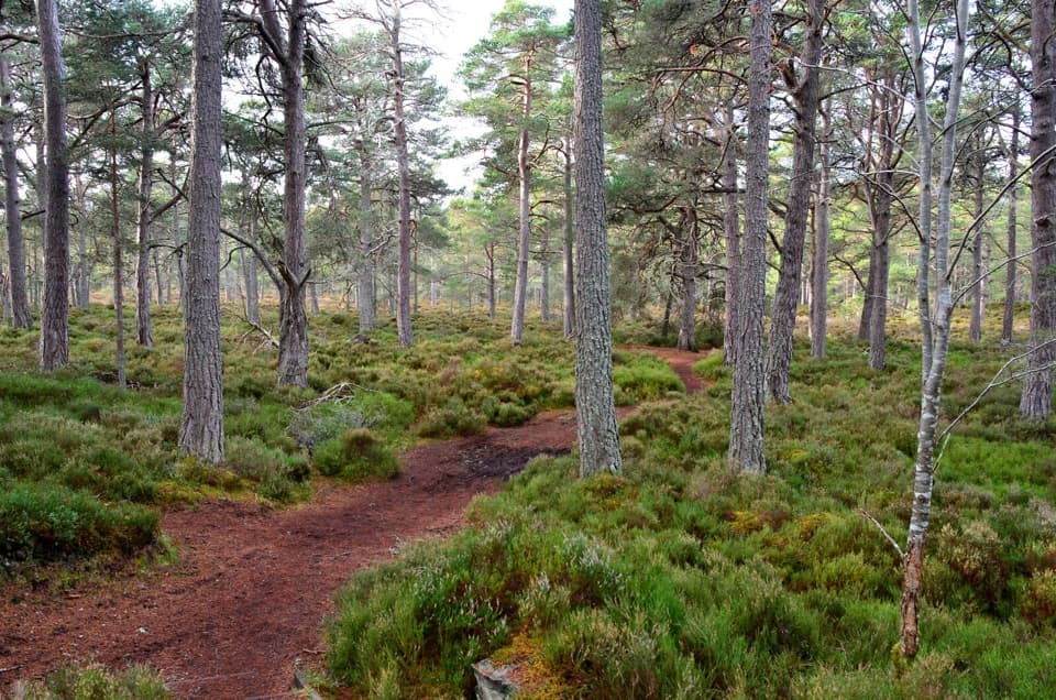 EasyRiverside Trail, Nethy Bridge2.9 km · 1 hr · 0.2 km awayA riverside start, then a pinewood loop past a former tree nursery
 ModerateLettoch Trail10.5 km · 3 hr · 0.2 km awayFollow the Nethy to Lettoch Wood's open mountain view.
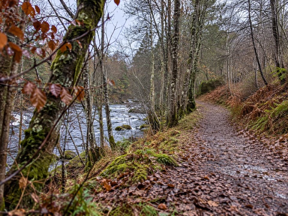 EasyRiverside Short Accessible Path, Nethy Bridge0.6 km · 15 min · 0.2 km awayA smooth, level riverside stroll to a bench above a small pool.
 ModerateKing’s Road Trail, Nethy Bridge4.8 km · 1.5 hr · 0.2 km awayA pinewood loop with river views and a sawmill story
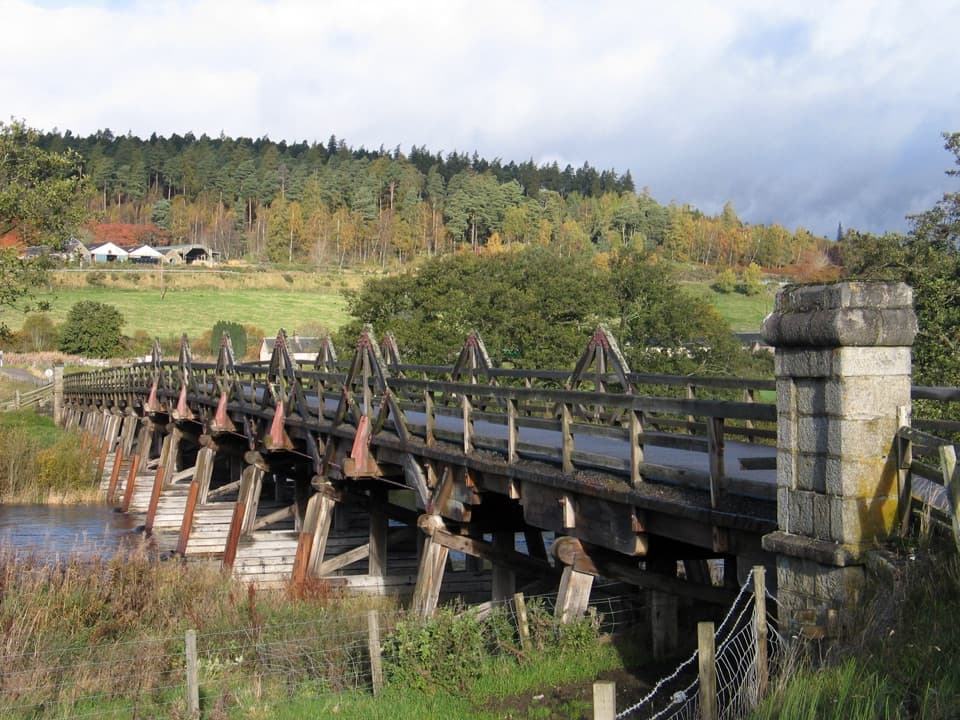 ModerateBroomhill Trail, Nethy Bridge4.8 km · 1.8 hr · 0.2 km awayA gentle river walk to a landmark timber bridge.
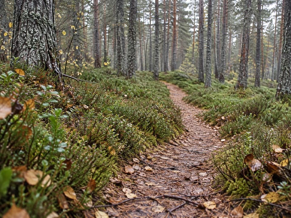 ModeratePuggy Line Trail4 km · 1 hr · 0.2 km awayA pinewood loop following a wartime timber railway.
 EasyWilderness Trail, Nethy Bridge2.5 km · 1 hr · 0.8 km awayA muddy pinewood loop with a possible old logging camp.
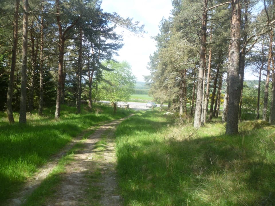 ChallengingCraigmore Trail6.7 km · 4 hr · 1 km awayA woodland walk to Boat of Balliefurth, returning along the Speyside Way.
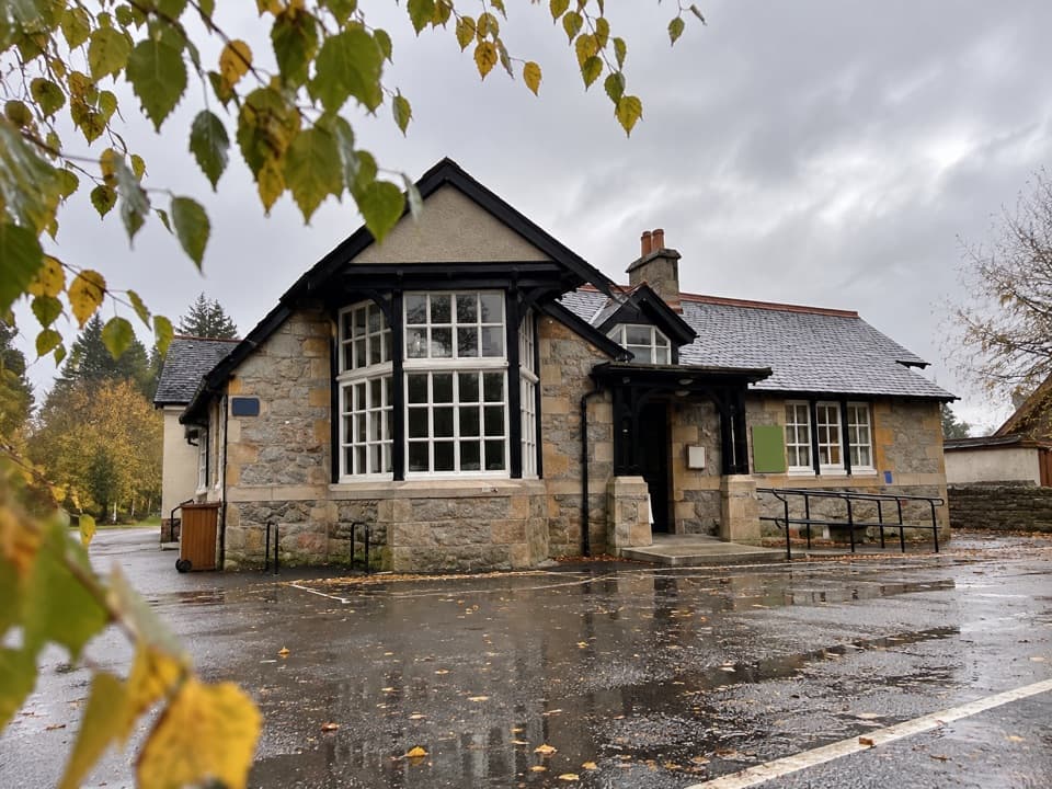 Visitor center · 0.2 km awayExplore Abernethy Visitor CentreA useful first stop for Abernethy Forest maps and woodland walks.
 Sight · 1.3 km awayCastle RoyA compact medieval fortress with a wide Cairngorms view.
 Visitor center · 3.1 km awayThe Speyside CentreA plant-filled café stop with clootie dumpling and Highland gifts.
 Visitor center · 3.3 km awayLoch Garten Nature CentreNest scopes, wildlife cameras and pinewood trails, whatever you spot.
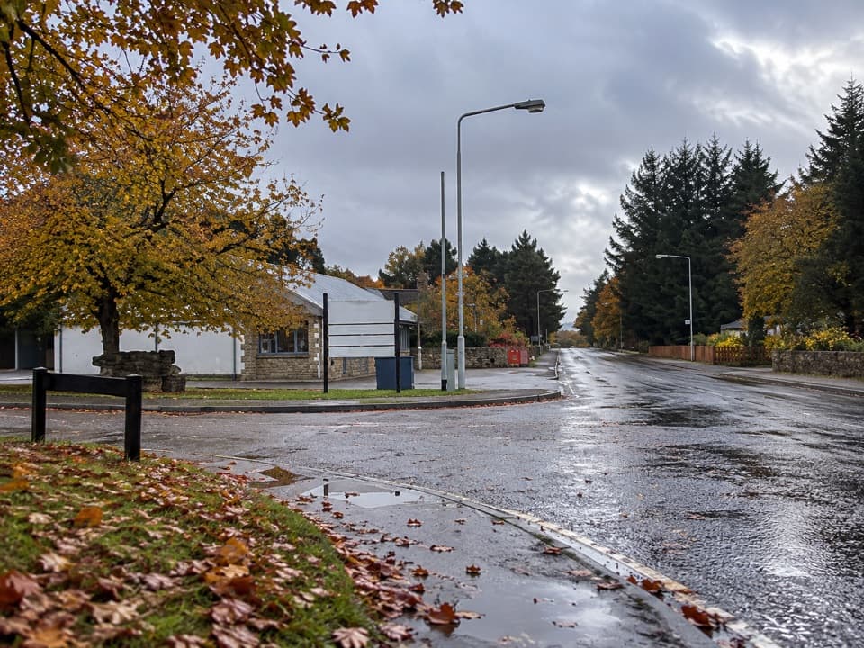 Lodging · 6.5 km awayBoat of Garten Holiday ParkA handy village base for exploring Strathspey and the Cairngorms.
 Campground · 8 km awayGrantown-on-Spey Caravan ParkStay close to town, with touring pitches, pods and a chalet.
 Sight · 8 km awayGrantown MuseumA Highland town’s story, from a brass brooch to its old schoolhouse.
 Sight · 9.6 km awayLandmark Forest Adventure ParkForest trails, tower views and water rides fill a full family day.
Parkwolf’s Cairngorms ranking

The audio tour guide for the drive, plus offline maps, trails, and wildlife heatmaps for when the signal drops.





