Craigmore Trail in Cairngorms National Park

Cairngorms National Park, SC

Craigmore Trail

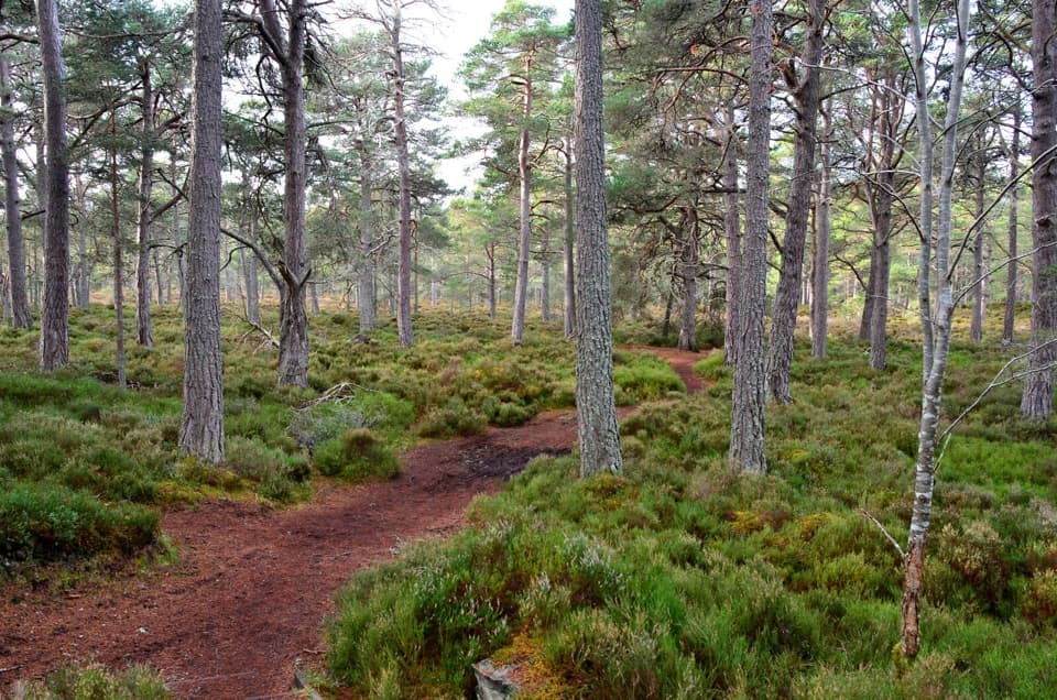
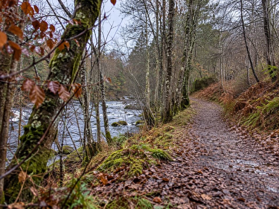
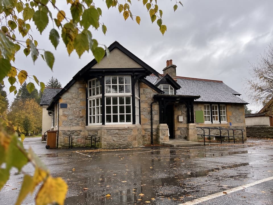
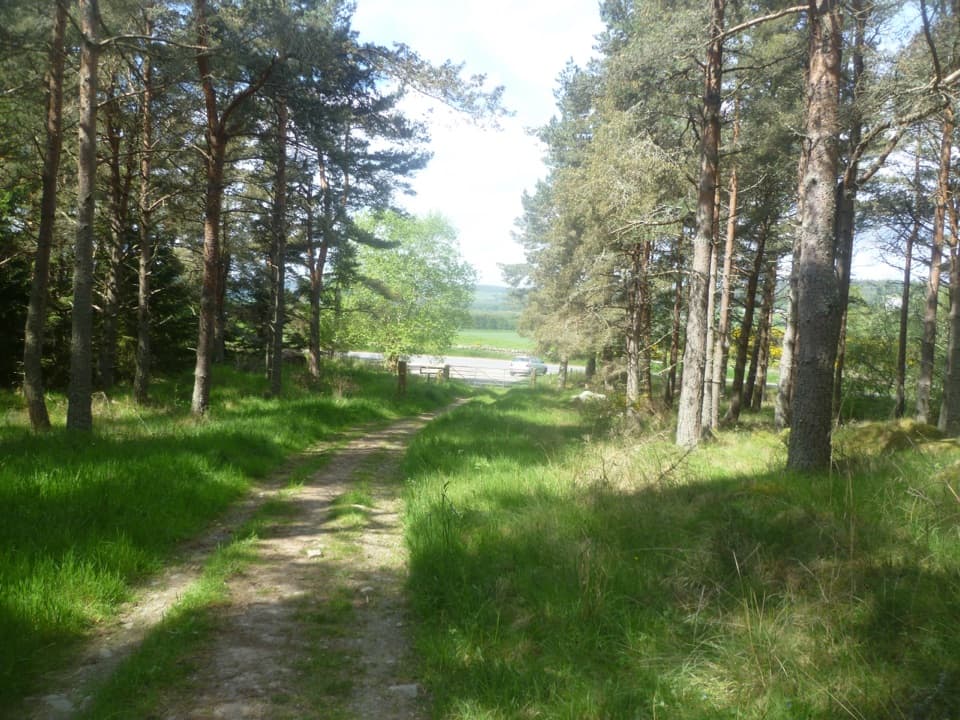
A woodland walk to Boat of Balliefurth, returning along the Speyside Way.

Photo: Wikimedia Commons
Length
6.7km
Time
4hr
Elev. change
78m
Difficulty
Challenging
  • Dogs allowed
  • High point 273 m

Hear the audio tour

Castle Roy and its Courtyard

Overview

About Craigmore Trail

Why go

  • The Speyside Way gives a different return from the forest approach.

Heads up

  • Strenuous grade, steep earthy stretches, mud, stiles and kissing gates.

Map & elevation

The route

Loading the Cairngorms map
Full map
Elevation195–273 m
TrailheadCastle Roy car park on the B97057.27483, -3.65066
Keep this map with you offline in the Parkwolf app

Plan your hike

Before you go

Parking

Start at Castle Roy off the B970; the local map marks parking beside the route. The mapped Speyside Way return finishes close to, but not at, the same access, so check the final connection or arrange transport before leaving a car. Toilets are at Nethy Bridge Visitor Centre, separate from the route.

Safety

The route is graded strenuous, with fairly steep, sometimes muddy ground, stiles and kissing gates. Dogs are allowed; keep them close to heel or on a short lead, especially April through August around ground-nesting birds or livestock, and follow local signs.

3 active Cairngorms alerts

  • CautionStorm Boelo high windsStorm Boelo will bring extremely windy weather to the Cairngorms; take extra care and limit time outdoors. - The Park Authority expects the very windy weather to last until Monday 26 October.Official details
  • ClosureGlenmore wildfire closures and dangerous treesWildfire damage has closed Allt Mor car park and the path to Sugarbowl/Utsi’s Bridge; keep out of the closed area.Official details
See all 3 alerts
A park ranger sits on a dash-mounted phone, talking, as Parkwolf’s Tour Guide plays “Army Cutworm Moths: A Grizzly Bear Buffet” on Grand Loop Road below Dunraven Pass in Yellowstone
Parkwolf Tour GuideThe highest, rockiest slopes around here are a summer buffet for grizzly bears.

Cairngorms Tour Guide

Your drive to Craigmore Trail, narrated.

Parkwolf is a GPS audio tour guide for Cairngorms National Park. As you drive, it chimes in with what’s ahead: hidden gems, upcoming stops, history, geology, and wildlife, right through your car’s speakers.

See the Cairngorms audio tour

Recorded for this trailhead

Castle Roy and its Courtyard
0:00 / 0:32
“Up ahead is Castle Roy, a roofless medieval Comyn fortress on a grassy mound above Strathspey. I'd allow twenty to thirty minutes for the courtyard, grounds and mountain views; there's no furnished interior to tour.”

Plays as you drive up to this trailhead in the Parkwolf Cairngorms Tour Guide.

More stories near here in the app

  • Explore Abernethy and the River Nethy
  • The Discs Beneath an Oak Leaf
  • A Flood for the Timber
  • The Redstart’s Quivering Tail
  • 298 audio storiesacross Cairngorms’s roads, triggered by GPS as you drive
  • Wildlife heatmapsfor Red Deer, Reindeer, Osprey, and 13 more
  • Works offlinemaps, 260 trails, 90 places, and audio download before you lose signal
  • CarPlay readysimple controls built for the drive
★★★★★
“Fantastic app with many points of information… It’s great to just turn on while you’re driving and it gives you an audio tour of the national Park. We love it!!!!”
JMJamesApp Store review
Download Parkwolf on the App StoreGet Parkwolf on Google Play

4.7 from 8,600+ ratings

Trail guide

Hiking Craigmore Trail

Choose your returnCraigmore Trail is a 4.

Craigmore Trail is a 4.1-mile point-to-point walk from Castle Roy through Craigmore Wood to Boat of Balliefurth, then back toward Nethy Bridge on the Speyside Way. The published 2¼-mile / 3.5 km figure is the outward leg to Boat, not the full distance for this route. Allow three to four hours. The mapped finish is near Castle Roy but at a different point from the B970 start, so check how you will get back to your car before setting out.

What the path is likeBoth choices begin on good forest tracks in woodland.

Both choices begin on good forest tracks in woodland. The ground is mostly earthy, with some fairly steep stretches; sections may be muddy, and stiles and kissing gates interrupt the walk. The route is graded strenuous, so allow time for the footing and gates. At Boat of Balliefurth, you can also turn around and retrace the outward path for about 4.4 miles round trip.

Access and practicalitiesStart at Castle Roy on the B970, where parking is marked beside the route.

Start at Castle Roy on the B970, where parking is marked beside the route. The Speyside Way option returns to Nethy Bridge and finishes close to, but not at, the exact starting access. Toilets are at the Nethy Bridge Visitor Centre, a separate stop in the village; no food or water stop is shown on the route. Dogs are welcome in the park. Keep them close to heel or on a short lead, especially from April through August around ground-nesting birds or livestock, and follow local signs.

Wildlife

Wildlife in Cairngorms

All Cairngorms wildlife maps

Sighting maps show where each species has been reported across Cairngorms. Wildlife moves, so no sighting is guaranteed.

Keep exploring

Near Craigmore Trail

See it all on the map

Trails that start nearby

Places near the trailhead

Parkwolf’s Cairngorms ranking

Top-rated trails in Cairngorms

All 260 trails
  1. 1Loch an Eilein CircuitEasy · 5 km
  2. 2Lairig GhruChallenging · 30.6 km
  3. 3Ben Macdui and Cairn Gorm CircuitChallenging · 19.8 km
  4. 4Loch Morlich TrailModerate · 5.6 km
  5. 5Meall a’ Bhuachaille CircuitChallenging · 8 km
  6. 6Loch Muick CircuitModerate · 12.5 km

Take Parkwolf to Cairngorms.

The audio tour guide for the drive, plus offline maps, trails, and wildlife heatmaps for when the signal drops.

4.7 from 8,600+ ratings

Download Parkwolf on the App StoreGet Parkwolf on Google Play