Parking
Use the marked car park and picnic area at Bellabeg; the walk starts past the public toilets.
Cairngorms National Park, SC
A 4-mile forest loop with open views over Strathdon.
Overview
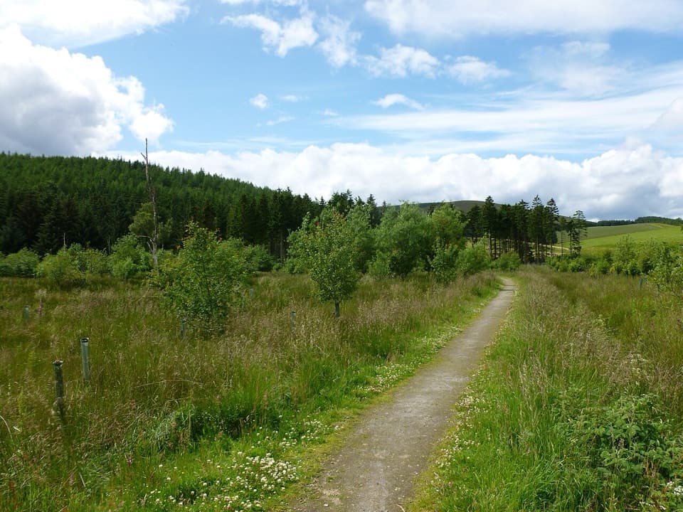
Bunzeach Trail is a 4-mile loop from Bellabeg through forest around Tom a’ Charraighl, with views over Strathdon. Allow about 2½ hours. It is a moderate walk, but long climbs, rough unsurfaced paths and several gates make it more than an easy forest stroll.
Map & elevation
Plan your hike

The highest, rockiest slopes around here are a summer buffet for grizzly bears.
Cairngorms Tour Guide
Parkwolf is a GPS audio tour guide for Cairngorms National Park. As you drive, it chimes in with what’s ahead: hidden gems, upcoming stops, history, geology, and wildlife, right through your car’s speakers.
See the Cairngorms audio tourRecorded for this trailhead
Bellabeg and the Doune of Invernochty“Bellabeg is ahead, and I'd choose the Roughpark Path for a shorter walk with some local history. Allow an hour to an hour and a quarter for the mile-and-a-half return through woodland and farmland.”
Plays as you drive up to this trailhead in the Parkwolf Cairngorms Tour Guide.
More stories near here in the app
“Fantastic app with many points of information… It’s great to just turn on while you’re driving and it gives you an audio tour of the national Park. We love it!!!!”


Trail guide
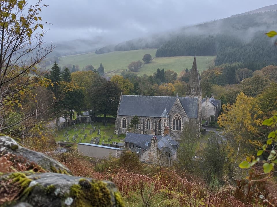
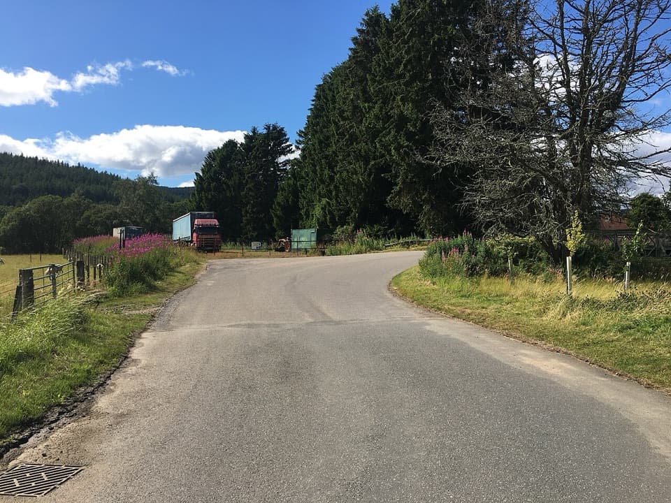
From Bellabeg’s marked car park, pass the public toilets, reach the River Don and follow it to a minor road. Cross the bridge, pass Strathdon Kirk and turn left at the road junction; shortly afterward, fork right onto the waymarked forest track. Beyond a gate, the route passes a broad grassy turning area where the return comes back in. Continue beside the forest for the open view down Strathdon, then enter the trees and turn right at the crossroads. At the later T-junction, turn right and then right again onto the narrow path through dense conifers. Follow the blue marker left down a steep stretch, then along a fence above a minor road before winding uphill through the trees. The route passes spruce and pedestrian gates before descending to the turning area; retrace the approach to the church and car park. Expect uneven ground, long moderate climbs and one steep descent.
At the final track junction, a left turn reaches Kirk Hill’s viewpoint and wooden seat above Strathdon Kirk and the upper strath. This is an optional out-and-back spur: return to the junction and take the circuit’s right-hand descent. The mapped 4-mile loop follows the main circuit and leaves this detour out, so allow extra time and distance if you visit it. The seat is the route’s clearest place to take in the church, valley and forested hills together.
Conifers have shaped this landscape since planting began in 1815, and ongoing felling continues to alter the forest and open views. The marked car park and picnic area are in Bellabeg; toilets are on the opening stretch. The route uses short minor-road sections between the village and forest. Dogs may come along; keep them close and use a lead where signs request it.
Wildlife
 159 sightingsRed DeerMost seen around 7 AMSighting map
 63 sightingsReindeerMost seen around 6 PMSighting map
 102 sightingsOspreyMost seen around 5 PMSighting map
 37 sightingsBlack GrouseMost seen around 4 AMSighting map
 72 sightingsRed GrouseMost seen around 6 PMSighting map
 82 sightingsPine MartenMost seen around 9 PMSighting map
Sighting maps show where each species has been reported across Cairngorms. Wildlife moves, so no sighting is guaranteed.
Keep exploring
 EasyRoughpark Path2.4 km · 1.3 hr · At the trailheadA memorial avenue leads to a motte with a Pictish past.
 ModerateLonach Loop3.2 km · 1.5 hr · At the trailheadA short Bellabeg loop for River Don views and open farmland.
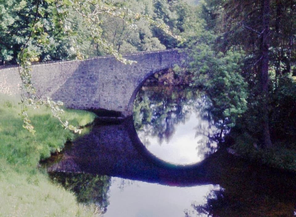 EasyPoldullie Bridge Walk3.2 km · 1.3 hr · At the trailheadA 1715 arch over the River Don rewards this short road walk.
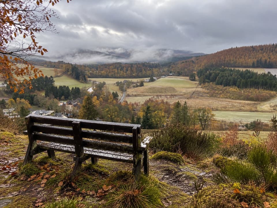 ModerateBellabeg Forest Walk3.5 km · 1.3 hr · 0.1 km awayA steep climb earns a bench view over upper Strathdon.
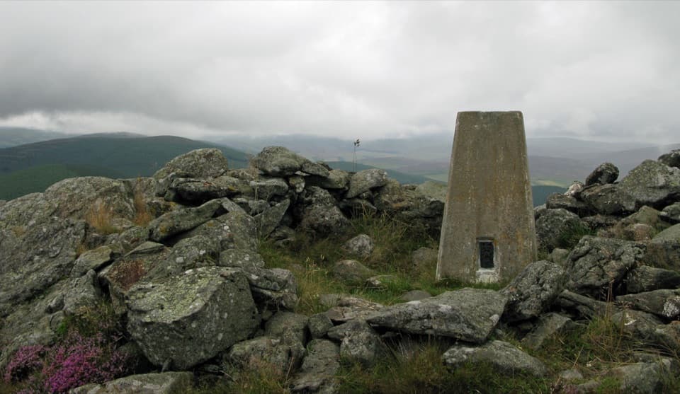 ModerateBen Newe Trail4 km · 2.5 hr · 2.2 km awayA rocky summit, medieval well, and a 360° Strathdon panorama.
 ModerateMona Gowan from Strathdon11.7 km · 3.8 hr · 3.3 km awayA steady hill climb ends at a huge Jubilee cairn.
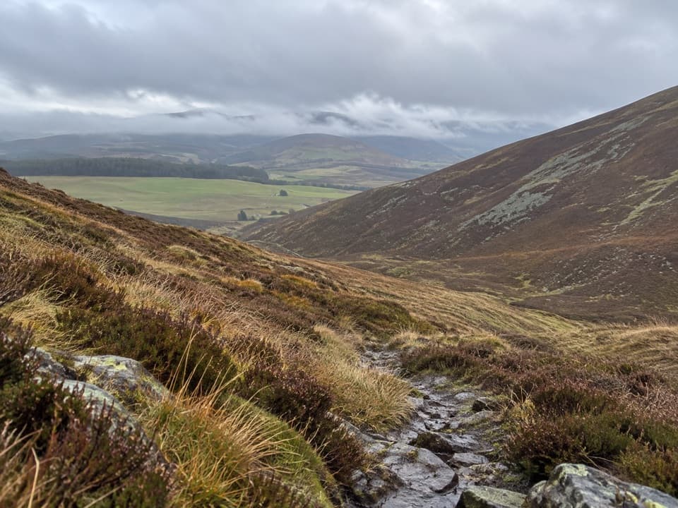 ModerateThe Ladder Road11.7 km · 5 hr · 3.4 km awayA heather path crosses the pass on an old smugglers’ road.
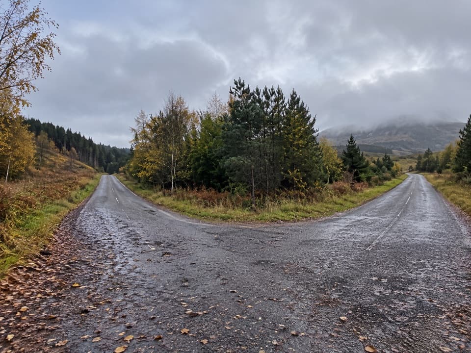 ModerateMeall Beag Forest Walk, Strathdon3.2 km · 1.3 hr · 4.4 km awayA steep forest loop with a broad view across Strathdon.
 Sight · 10.3 km awayThe WatchersFour sculptural seats face Corgarff Castle across a wide valley.
 Sight · 10.6 km awayLecht Ski CentreGood family skiing and lessons on a high Highland pass.
 Sight · 10.7 km awayCorgarff CastleA tower house turned Redcoat barracks, ringed by a star wall.
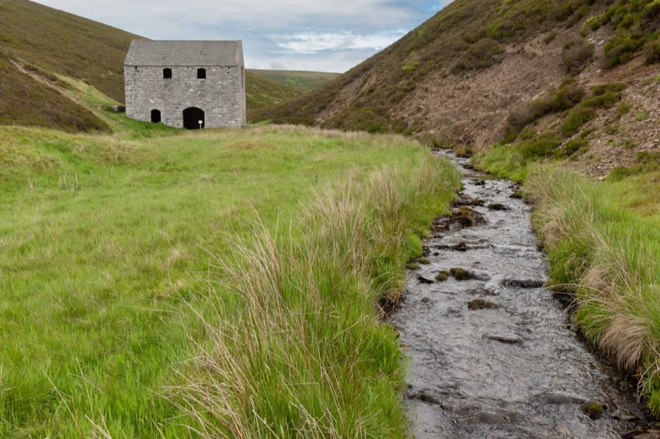 Sight · 11.9 km awayLecht MineA lone crushing mill rewards a short, atmospheric hill walk.
 Sight · 12.4 km awayScalan SeminaryA hidden Catholic seminary reached by a rough Glenlivet farm track.
 Sight · 13.4 km awayGairnshiel BridgeA humpback stone arch beside the modern A939 crossing.
 Sight · 15.2 km awayBurn O’VatA narrow crack opens into an 18-metre granite chamber with a waterfall.
Parkwolf’s Cairngorms ranking

The audio tour guide for the drive, plus offline maps, trails, and wildlife heatmaps for when the signal drops.





