Parking
Start at the track junction between the two lodges at Torrancroy, north of Strathdon (NJ 334 158). No parking is specified at either end; arrange transport to the Achnascraw road finish before setting out.
Cairngorms National Park, SC
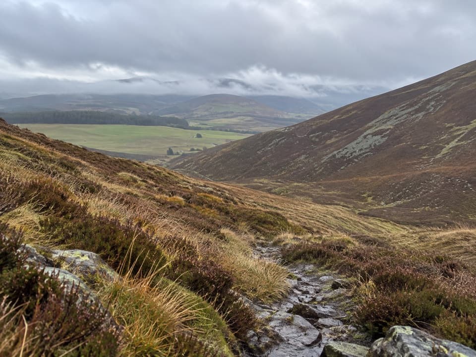
A heather path crosses the pass on an old smugglers’ road.
Overview
Map & elevation
Plan your hike

The highest, rockiest slopes around here are a summer buffet for grizzly bears.
Cairngorms Tour Guide
Parkwolf is a GPS audio tour guide for Cairngorms National Park. As you drive, it chimes in with what’s ahead: hidden gems, upcoming stops, history, geology, and wildlife, right through your car’s speakers.
See the Cairngorms audio tourRecorded for this trailhead
Torrancroy and the Ladder Road“You're coming up on Torrancroy, the start of the Ladder Road walking route.”
Plays as you drive up to this trailhead in the Parkwolf Cairngorms Tour Guide.
More stories near here in the app
“Fantastic app with many points of information… It’s great to just turn on while you’re driving and it gives you an audio tour of the national Park. We love it!!!!”


Trail guide
The Ladder Road is an 11.75 km (7.3 mile) point-to-point walk from the track junction at Torrancroy to the unclassified road at Achnascraw, north of Chapeltown. Allow about five hours on foot. The route climbs through forest and heather to a cairn-marked pass, then drops into the Ladder Burn valley and across open hill ground. It is not a loop, and parking or transport details for the endpoints are not documented, so arrange your drop-off and pickup before setting out. A sampled elevation profile climbs about 430 m in total and reaches roughly 680 m near the pass.
The first 2 km follow a reasonable forestry road through close conifers, with mature hardwoods along parts of the lower slope. At Aldachuie the trees give way to open fields and a sculpture at the turning place; about 200 m farther on, the woods open to a view down toward the burn. About 1 km beyond is Duffdefiance. The route crosses the burn there, then climbs through deep heather on a Land Rover track past two substantial dykes and a gap through one of them.
Higher up, the right of way sometimes leaves the vehicle track before joining a ridge road. That road runs fairly level for about 1 km, then the walking line crosses another hill road and makes a short, stiff climb of roughly 600 m in length to the pass cairns. Near the top the path divides into several deeply worn lines, so keep checking the route as you approach the cairns.
The descent into the Ladder Burn valley follows a defined, carefully graded old stalkers’ path. A Land Rover track brings you down to Ladderfoot. From there to Demickmore the old line is largely untracked; a pair of gateposts partway between the properties is a useful landmark. Beyond Demickmore, grassy quad-bike tracks can be muddy as they head northwest toward Belno and the track to Rhindhu, before the walk finishes at the Achnascraw road.
This changes character several times, and the route is not a continuously surfaced or consistently obvious footpath. Don’t assume the strongest vehicle track is always the right of way. The pass and the Ladderfoot–Demickmore stretch are the sections where navigation matters most.
The crossing was one of the main routes used by smugglers, including the illicit whisky trade. Duffdefiance’s name comes with a disputed story about a man named Duff defying the local laird: accounts differ over who built the house, and whether the ruins now seen are the ones in the story. A still site has also been identified below the road near Moineiseach Burn, though it is not a marked stop on the route.
The Ladder Road is also remembered as a coffin route from Strath Don to Chapeltown. Cairns at the pass mark the Aberdeenshire–Banffshire boundary. Local lore says they were the meeting point for coffin bearers from each side, with one party arriving after overindulging; that tale is not established as the cairns’ original purpose.
This is a pedestrian right of way across open hill country. Dogs may accompany walkers under Scotland’s access rules, but must be kept under proper control around farm animals and wildlife.
Wildlife
 159 sightingsRed DeerMost seen around 7 AMSighting map
 63 sightingsReindeerMost seen around 6 PMSighting map
 102 sightingsOspreyMost seen around 5 PMSighting map
 37 sightingsBlack GrouseMost seen around 4 AMSighting map
 72 sightingsRed GrouseMost seen around 6 PMSighting map
 82 sightingsPine MartenMost seen around 9 PMSighting map
Sighting maps show where each species has been reported across Cairngorms. Wildlife moves, so no sighting is guaranteed.
Keep exploring
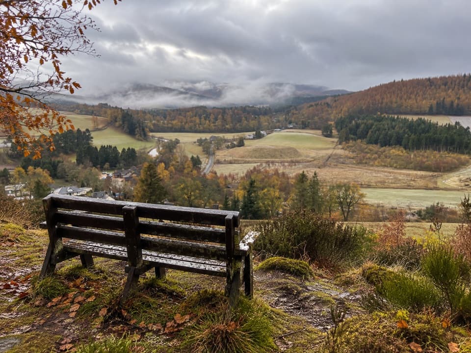 ModerateBellabeg Forest Walk3.5 km · 1.3 hr · 3.3 km awayA steep climb earns a bench view over upper Strathdon.
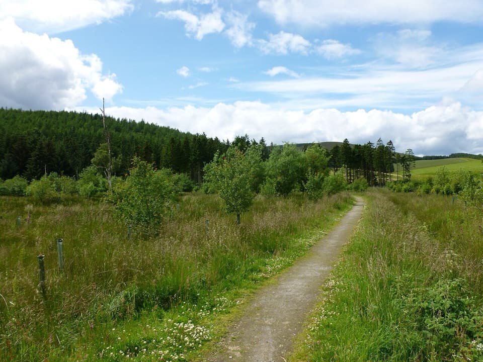 EasyRoughpark Path2.4 km · 1.3 hr · 3.4 km awayA memorial avenue leads to a motte with a Pictish past.
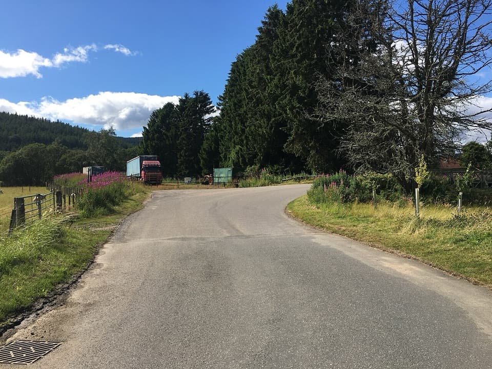 ModerateLonach Loop3.2 km · 1.5 hr · 3.4 km awayA short Bellabeg loop for River Don views and open farmland.
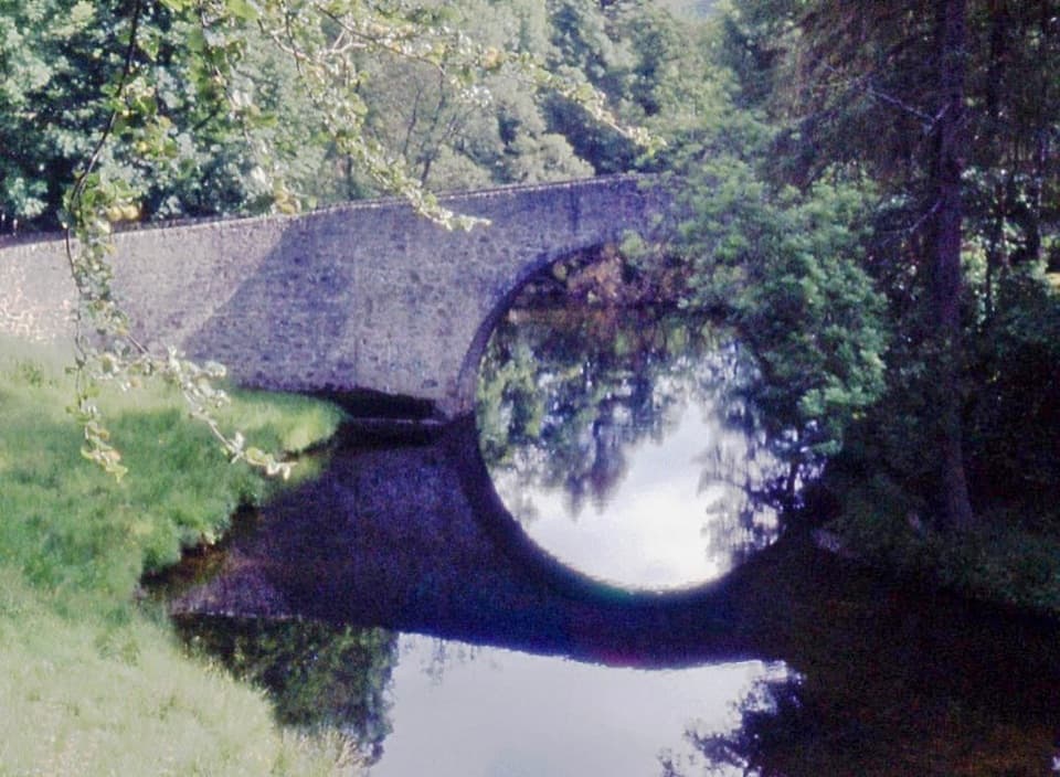 EasyPoldullie Bridge Walk3.2 km · 1.3 hr · 3.4 km awayA 1715 arch over the River Don rewards this short road walk.
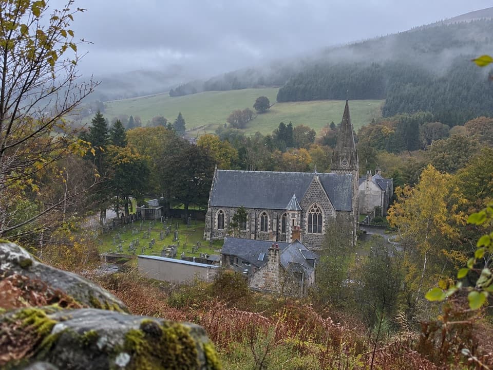 ModerateBunzeach Trail6.4 km · 2.5 hr · 3.4 km awayA 4-mile forest loop with open views over Strathdon.
 ChallengingRoad to Glenbuchat12 km · 5 hr · 3.7 km awayA 12 km moorland crossing with faint tracks and a historic ford.
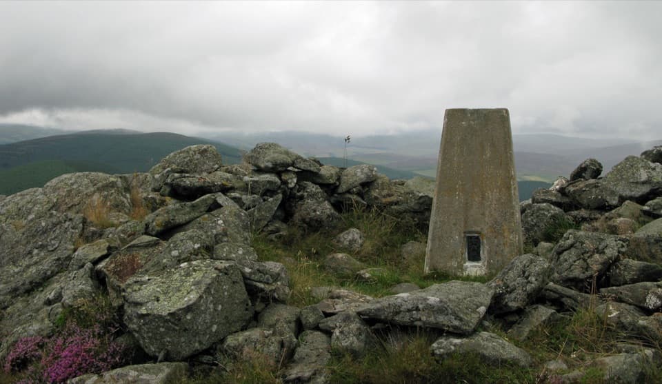 ModerateBen Newe Trail4 km · 2.5 hr · 4.5 km awayA rocky summit, medieval well, and a 360° Strathdon panorama.
 ModerateMona Gowan from Strathdon11.7 km · 3.8 hr · 5.6 km awayA steady hill climb ends at a huge Jubilee cairn.
 Sight · 9.2 km awayLecht Ski CentreGood family skiing and lessons on a high Highland pass.
 Sight · 9.4 km awayScalan SeminaryA hidden Catholic seminary reached by a rough Glenlivet farm track.
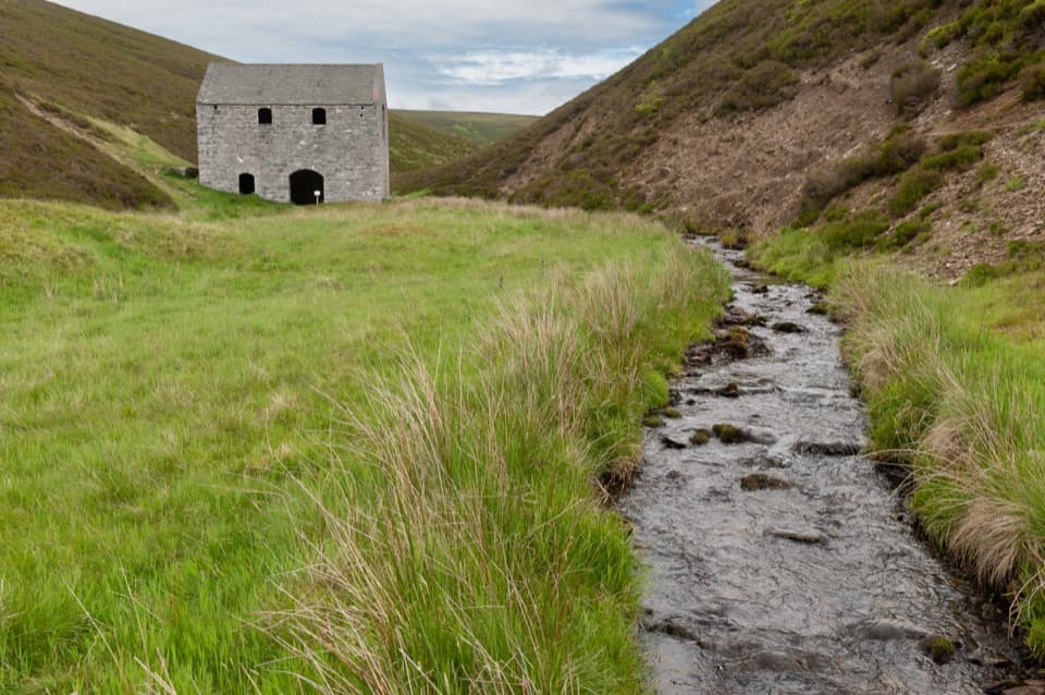 Sight · 9.6 km awayLecht MineA lone crushing mill rewards a short, atmospheric hill walk.
 Sight · 10 km awayThe WatchersFour sculptural seats face Corgarff Castle across a wide valley.
 Sight · 10.7 km awayCorgarff CastleA tower house turned Redcoat barracks, ringed by a star wall.
 Sight · 15.5 km awayGairnshiel BridgeA humpback stone arch beside the modern A939 crossing.
Parkwolf’s Cairngorms ranking

The audio tour guide for the drive, plus offline maps, trails, and wildlife heatmaps for when the signal drops.





