Parking
The route starts where the access track to Upperton leaves the public road at Smithyford. No parking area is identified. This is a point-to-point walk ending at Cabrach; plan your return transport before setting out.

Cairngorms National Park, SC
A 12 km moorland crossing with faint tracks and a historic ford.
Overview
Map & elevation
Plan your hike

The highest, rockiest slopes around here are a summer buffet for grizzly bears.
Cairngorms Tour Guide
Parkwolf is a GPS audio tour guide for Cairngorms National Park. As you drive, it chimes in with what’s ahead: hidden gems, upcoming stops, history, geology, and wildlife, right through your car’s speakers.
See the Cairngorms audio tourRecorded for this area
The Foxglove Before the Flowers“A foxglove can spend a whole growing season as a low circle of leaves. Those leaves are oval, hairy and toothed along the edges.”
Plays on the road 1.3 km from the trailhead in the Parkwolf Cairngorms Tour Guide.
More stories near here in the app
“Fantastic app with many points of information… It’s great to just turn on while you’re driving and it gives you an audio tour of the national Park. We love it!!!!”


Trail guide
This is a 12 km (about 7.5 mi) point-to-point crossing from Smithyford to Cabrach over open upland. Allow around five hours on foot; that is a practical estimate, and faint tracks can slow you down. It suits walkers who want a quiet historic crossing and are confident navigating outside a clearly visible path. It does not return to Smithyford, so arrange transport from Cabrach before setting out.
From Smithyford, follow the access track toward Upperton, keeping east of White Hill to a 466 m col east of Creag na Gamhna. At NJ 361 203, leave the main vehicle track for an obscure line past a mound of boulders called the Lifting Stones. Cross Roch Ford at NJ 365 210 and use the gate in the deer fence about 50 m east. Rough ground leads to a track between Backie Hill and Broomknowe of Garbet, then the route continues along Keirn’s east side. The better-described finish drops past Gauch to the east end of the Steplar, followed by roughly 3 km on a narrow public road to Cabrach. The more direct Balvalley Moss option has not been surveyed recently.
This route links Cabrach with Glen Buchat; remains of shielings show how important it was, and it may also have carried drovers. The Lifting Stones were used in lifting contests between farm youths from the two glens. At Well of Cul-dearg, a historical account says seven people died at the spring in 1740, possibly from famine or fatigue. Davidson’s Cairn, a small white-quartz cairn near the route, marks where a poacher died in 1843.
Wildlife
 159 sightingsRed DeerMost seen around 7 AMSighting map
 63 sightingsReindeerMost seen around 6 PMSighting map
 102 sightingsOspreyMost seen around 5 PMSighting map
 37 sightingsBlack GrouseMost seen around 4 AMSighting map
 72 sightingsRed GrouseMost seen around 6 PMSighting map
 82 sightingsPine MartenMost seen around 9 PMSighting map
Sighting maps show where each species has been reported across Cairngorms. Wildlife moves, so no sighting is guaranteed.
Keep exploring
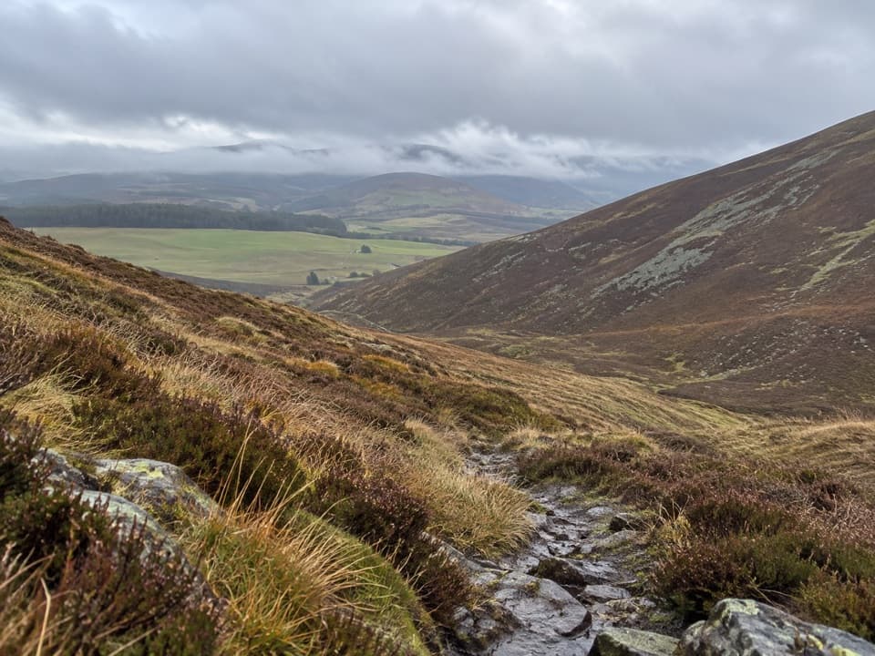 ModerateThe Ladder Road11.7 km · 5 hr · 3.7 km awayA heather path crosses the pass on an old smugglers’ road.
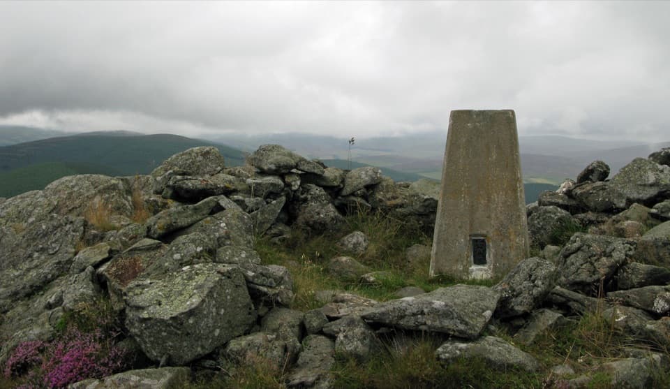 ModerateBen Newe Trail4 km · 2.5 hr · 3.9 km awayA rocky summit, medieval well, and a 360° Strathdon panorama.
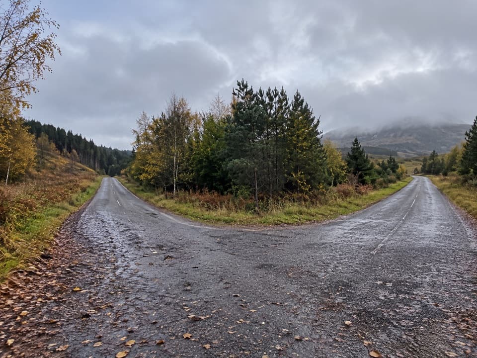 ModerateMeall Beag Forest Walk, Strathdon3.2 km · 1.3 hr · 4.6 km awayA steep forest loop with a broad view across Strathdon.
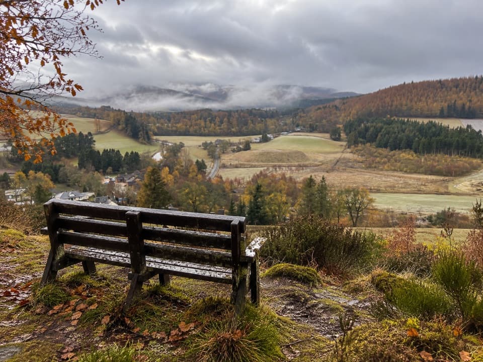 ModerateBellabeg Forest Walk3.5 km · 1.3 hr · 4.7 km awayA steep climb earns a bench view over upper Strathdon.
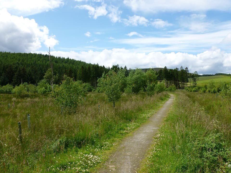 EasyRoughpark Path2.4 km · 1.3 hr · 4.8 km awayA memorial avenue leads to a motte with a Pictish past.
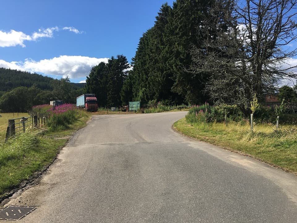 ModerateLonach Loop3.2 km · 1.5 hr · 4.8 km awayA short Bellabeg loop for River Don views and open farmland.
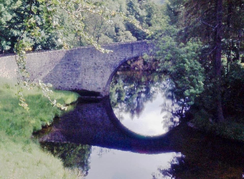 EasyPoldullie Bridge Walk3.2 km · 1.3 hr · 4.8 km awayA 1715 arch over the River Don rewards this short road walk.
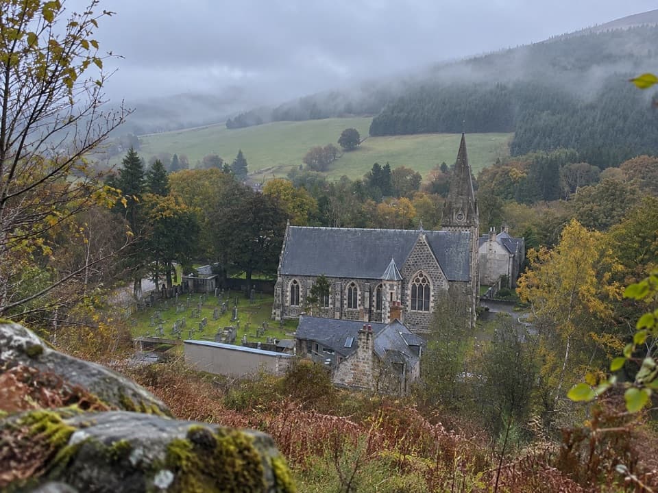 ModerateBunzeach Trail6.4 km · 2.5 hr · 4.8 km awayA 4-mile forest loop with open views over Strathdon.
 Sight · 12.2 km awayScalan SeminaryA hidden Catholic seminary reached by a rough Glenlivet farm track.
 Sight · 12.9 km awayLecht Ski CentreGood family skiing and lessons on a high Highland pass.
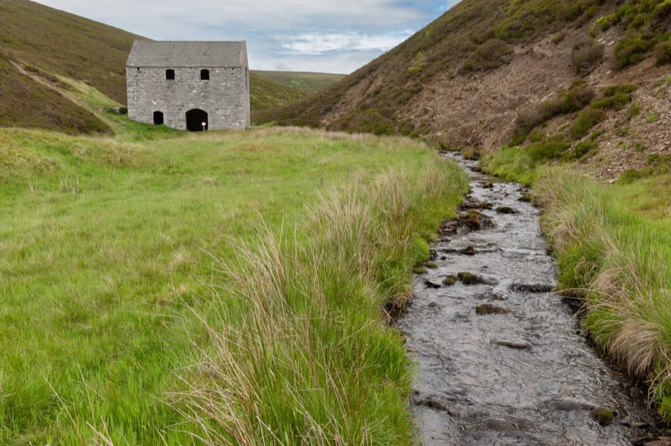 Sight · 13.1 km awayLecht MineA lone crushing mill rewards a short, atmospheric hill walk.
 Sight · 13.7 km awayThe WatchersFour sculptural seats face Corgarff Castle across a wide valley.
 Sight · 14.4 km awayCorgarff CastleA tower house turned Redcoat barracks, ringed by a star wall.
Parkwolf’s Cairngorms ranking

The audio tour guide for the drive, plus offline maps, trails, and wildlife heatmaps for when the signal drops.





