Parking
Start at Carrachs Car Park near Chapeltown (OS grid reference NJ 243 201). No toilets were confirmed at the lot; Tomintoul Square is the nearest public toilet location identified.
Cairngorms National Park, SC
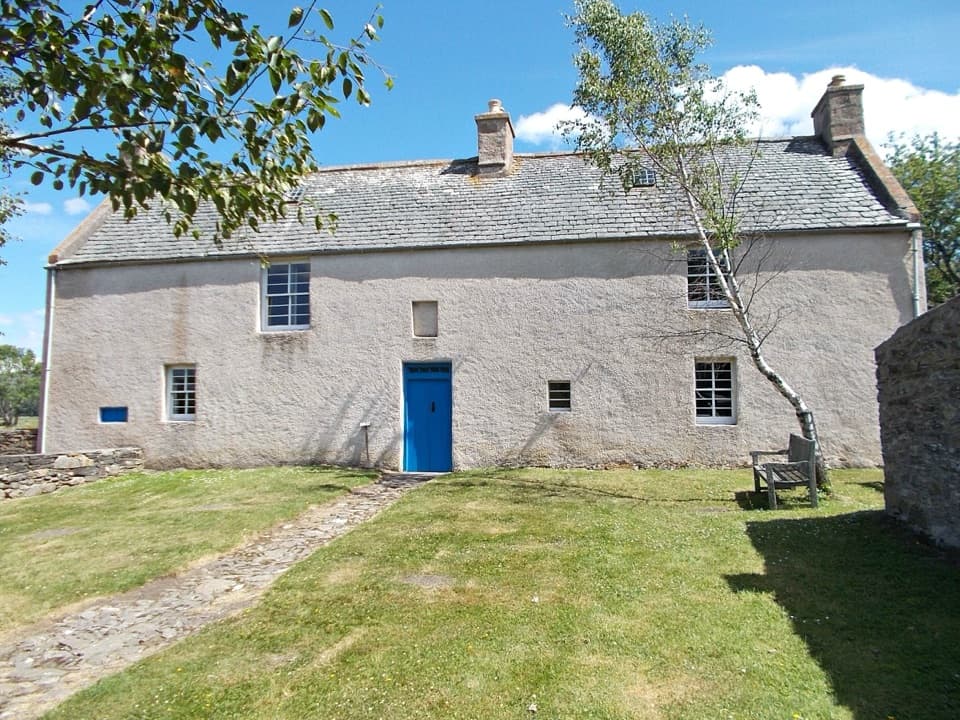
A 2.8-mile loop through seminary history and hill country
Overview
Map & elevation
Plan your hike

The highest, rockiest slopes around here are a summer buffet for grizzly bears.
Cairngorms Tour Guide
Parkwolf is a GPS audio tour guide for Cairngorms National Park. As you drive, it chimes in with what’s ahead: hidden gems, upcoming stops, history, geology, and wildlife, right through your car’s speakers.
See the Cairngorms audio tourRecorded for this trailhead
Scalan Seminary from Carrachs“You're approaching Carrachs, the parking point for Scalan Seminary. The college is about a kilometre away on foot along a rough farm track, so this is a history stop with a walk attached.”
Plays as you drive up to this trailhead in the Parkwolf Cairngorms Tour Guide.
More stories near here in the app
“Fantastic app with many points of information… It’s great to just turn on while you’re driving and it gives you an audio tour of the national Park. We love it!!!!”


Trail guide
This 2.8-mile orange-waymarked loop starts at Carrachs Car Park, crosses open grassy ground to Scalan Seminary, then follows a burn-side track to the farm ruins at Clash of Scalan. It crosses Crombie Water, climbs by an old stone dyke to a fence stile, and returns to the first gate. Allow about 1 hour 30 minutes, with extra time to explore the seminary.
Expect rough grass, uneven estate tracks, a boardwalk and a ford. Parts of the grassy connectors and fence return are only approximate on the app map; follow the orange watermill markers on the ground.
Scalan, a Gaelic name meaning a turf-roofed hut, was a Catholic seminary from 1716 to 1799. The house is open to visitors year-round. Associated mill buildings nearby have access only on certain occasions.
After leaving the seminary enclosure, the route heads south over open ground, detours onto a boardwalk at a ford, then rejoins the track beside Crombie Water. Clash of Scalan is a remote group of old farm ruins; the Gaelic name refers to a furrow or narrow, shallow valley. The return crosses the burn again at a ford.
The stile opens views north to the rounded Bochel and east toward the Ladder Hills and Suie. Oystercatchers, curlews and lapwings are reported in the area; they nest in spring and gather in larger flocks later in summer.
Sheep and cattle may be in the fields. Keep dogs on a lead or under close control, and release them if cattle threaten. An optional climb from the stile toward Tom Trumper is separate from this loop and may be inaccessible during grouse shooting from August through December.
Wildlife
 159 sightingsRed DeerMost seen around 7 AMSighting map
 63 sightingsReindeerMost seen around 6 PMSighting map
 102 sightingsOspreyMost seen around 5 PMSighting map
 37 sightingsBlack GrouseMost seen around 4 AMSighting map
 72 sightingsRed GrouseMost seen around 6 PMSighting map
 82 sightingsPine MartenMost seen around 9 PMSighting map
Sighting maps show where each species has been reported across Cairngorms. Wildlife moves, so no sighting is guaranteed.
Keep exploring
 ModerateMalcolm Gillespie Smugglers Trail11.6 km · 4 hr · 0.8 km awayA remote Glenlivet loop through smuggling-country moorland
 ChallengingThe Steplar17 km · 6.5 hr · 1.6 km awayA lonely old drove road across heather, burns and hill country.
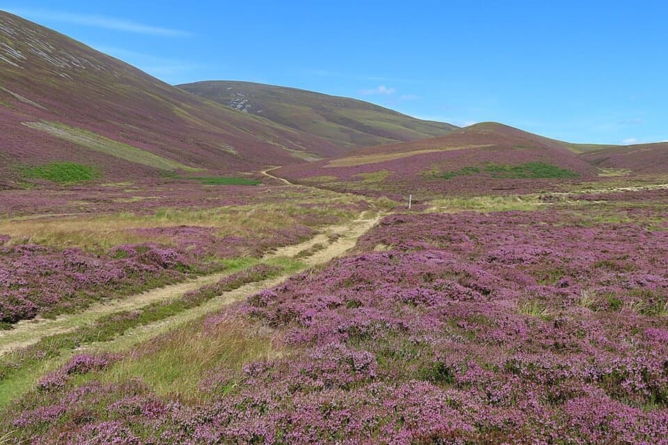 ChallengingGlenfiddich Road23.1 km · 9 hr · 1.9 km awayA full-day moorland crossing past a cairn raised for Queen Victoria.
 ModerateThe Livet Path9.7 km · 3.5 hr · 4.7 km awayA six-mile loop of river, heather moor and Highland farm tracks.
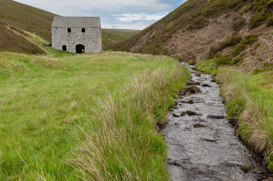 EasyLecht Mine Trail1.6 km · 45 min · 5 km awayA short valley walk ends at a restored Highland crushing mill.
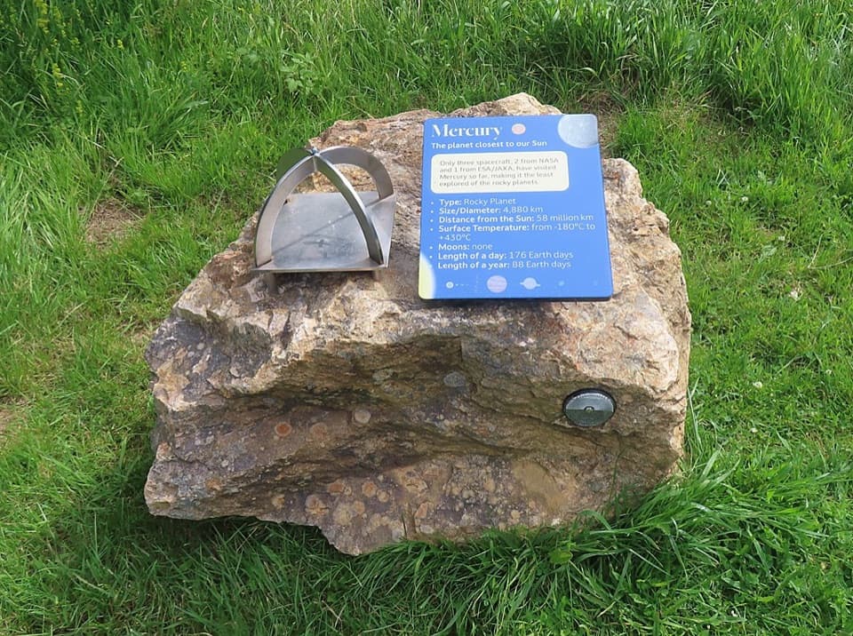 ModerateGlenmulliach Viewpoint and Planet Trail5.6 km · 2 hr · 6 km awayWalk the planets, then climb to a viewpoint above Tomintoul.
 ModerateBochel Circuit10 km · 3.5 hr · 6.1 km awayFollow river crossings and old tracks across open Glenlivet moorland.
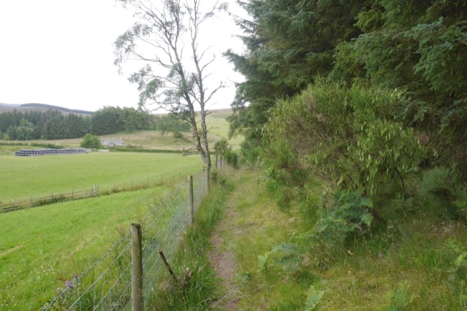 ModerateCarn Daimh Circuit from Clash Woods10 km · 3.5 hr · 7.2 km awayA 10 km loop climbs past farms to a broad summit.
 Sight · 0.8 km awayScalan SeminaryA hidden Catholic seminary reached by a rough Glenlivet farm track.Sight · 4.3 km awayLecht MineA lone crushing mill rewards a short, atmospheric hill walk.
 Sight · 7.3 km awayLecht Ski CentreGood family skiing and lessons on a high Highland pass.
 Visitor center · 7.4 km awayGlenlivet Estate Visitor CentreA useful trail-map stop at Tomintoul’s far end.
 Store · 7.6 km awayThe Whisky CastleMore than 600 malts in a shop dating to 1904.
 Visitor center · 7.7 km awayTomintoul & Glenlivet Discovery Centre & MuseumA village museum with local stories and a virtual dark-sky trip.
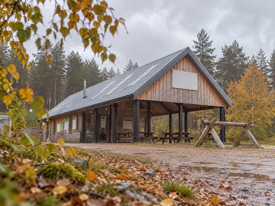 Sight · 8.8 km awayBike GlenlivetFlowing mountain-bike trails, café and zip wire reward a longer stop.
 Sight · 8.9 km awayStill ViewpointStep into a mirrored frame above the River Avon.
Parkwolf’s Cairngorms ranking

The audio tour guide for the drive, plus offline maps, trails, and wildlife heatmaps for when the signal drops.





