Parking
No verified parking at Rhindhu. A car park is described opposite the Bridgehaugh gate, but visitor access and capacity are unconfirmed; arrange transport between the endpoints.
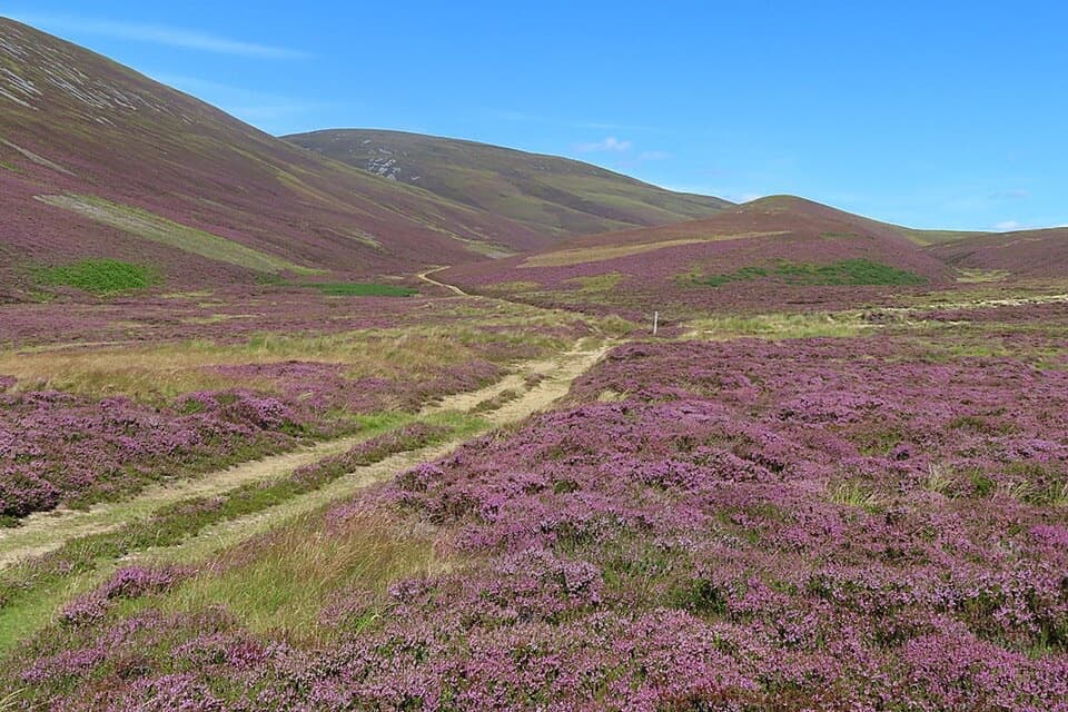
Cairngorms National Park, SC
A full-day moorland crossing past a cairn raised for Queen Victoria.
Overview
Map & elevation
Plan your hike

The highest, rockiest slopes around here are a summer buffet for grizzly bears.
Cairngorms Tour Guide
Parkwolf is a GPS audio tour guide for Cairngorms National Park. As you drive, it chimes in with what’s ahead: hidden gems, upcoming stops, history, geology, and wildlife, right through your car’s speakers.
See the Cairngorms audio tourRecorded for this area
East Auchavaich and the Smugglers Trail“You're approaching East Auchavaich, the start of the Malcolm Gillespie Smugglers Trail.”
Plays on the road 1.2 km from the trailhead in the Parkwolf Cairngorms Tour Guide.
More stories near here in the app
“Fantastic app with many points of information… It’s great to just turn on while you’re driving and it gives you an audio tour of the national Park. We love it!!!!”


Trail guide
This 23.1 km (14.35 mi) one-way walk runs from Rhindhu in the Braes of Glenlivet to Dufftown. Allow about nine hours as a planning estimate; no official walking time was found. Arrange transport between the two ends. The mapped route reaches Dufftown by Smithstown and farm roads, an alternative to the 5 km A941 road approach.
From Rhindhu, the route passes Burnside of Thain, crosses heather moor toward the River Livet, then follows tracks to deserted Suie. Before Suie it crosses Kymah Burn; the route description mentions a ford and a nearby footbridge at Knochkan, but current conditions are unverified. About 300 m beyond Suie, keep left and continue north-northeast up Glen Suie, rather than turning right toward Steplar. At the head of the glen, take the branch descending Glen Fiddich, not the branch toward Corryhabbie Hill.
The historic route line follows the west bank north of Tor Elick to Glenfiddich Lodge, while a more substantial mapped path appears on the east bank. The route description refers to a bridge and gates near the lodge. Their present condition and the west-bank access have not been checked; verify local access before setting out and do not cross a closed gate or use an unsafe crossing.
Queen’s Cairn, raised for Queen Victoria’s 1867 visit, stands a short distance from the route near NJ 2876 2786. The route reaches its high ground nearby before descending into Glen Fiddich. At Suie, a milestone found in 1994 bears “Glenfiddich 6 1/2”; its age and original purpose are uncertain. The Corryhabbie Hill route is Morton’s Way, a separate branch.
The route crosses open moor and remote glens, with long rural track sections and limited wayfinding landmarks. The sampled elevation profile ranges from 154 to 532 m. There is no confirmed parking at Rhindhu, and no verified food, toilet or water facilities on the route. A car park is described opposite the Bridgehaugh gate, but its availability and capacity are unconfirmed. Dogs may accompany walkers under Scotland’s access code; keep them under control, especially around livestock and wildlife.
Wildlife
 159 sightingsRed DeerMost seen around 7 AMSighting map
 63 sightingsReindeerMost seen around 6 PMSighting map
 102 sightingsOspreyMost seen around 5 PMSighting map
 37 sightingsBlack GrouseMost seen around 4 AMSighting map
 72 sightingsRed GrouseMost seen around 6 PMSighting map
 82 sightingsPine MartenMost seen around 9 PMSighting map
Sighting maps show where each species has been reported across Cairngorms. Wildlife moves, so no sighting is guaranteed.
Keep exploring
 ChallengingThe Steplar17 km · 6.5 hr · 0.4 km awayA lonely old drove road across heather, burns and hill country.
 ModerateMalcolm Gillespie Smugglers Trail11.6 km · 4 hr · 1.2 km awayA remote Glenlivet loop through smuggling-country moorland
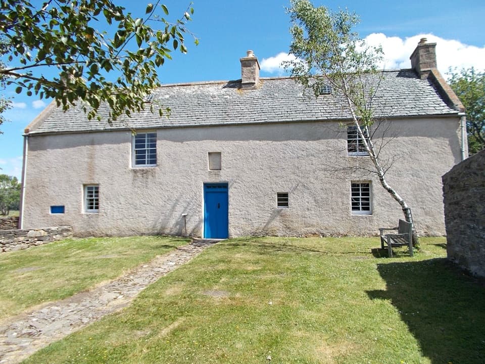 EasyScalan Heritage Trail4.5 km · 1.5 hr · 1.9 km awayA 2.8-mile loop through seminary history and hill country
 ModerateThe Livet Path9.7 km · 3.5 hr · 2.9 km awayA six-mile loop of river, heather moor and Highland farm tracks.
 ModerateBochel Circuit10 km · 3.5 hr · 4.6 km awayFollow river crossings and old tracks across open Glenlivet moorland.
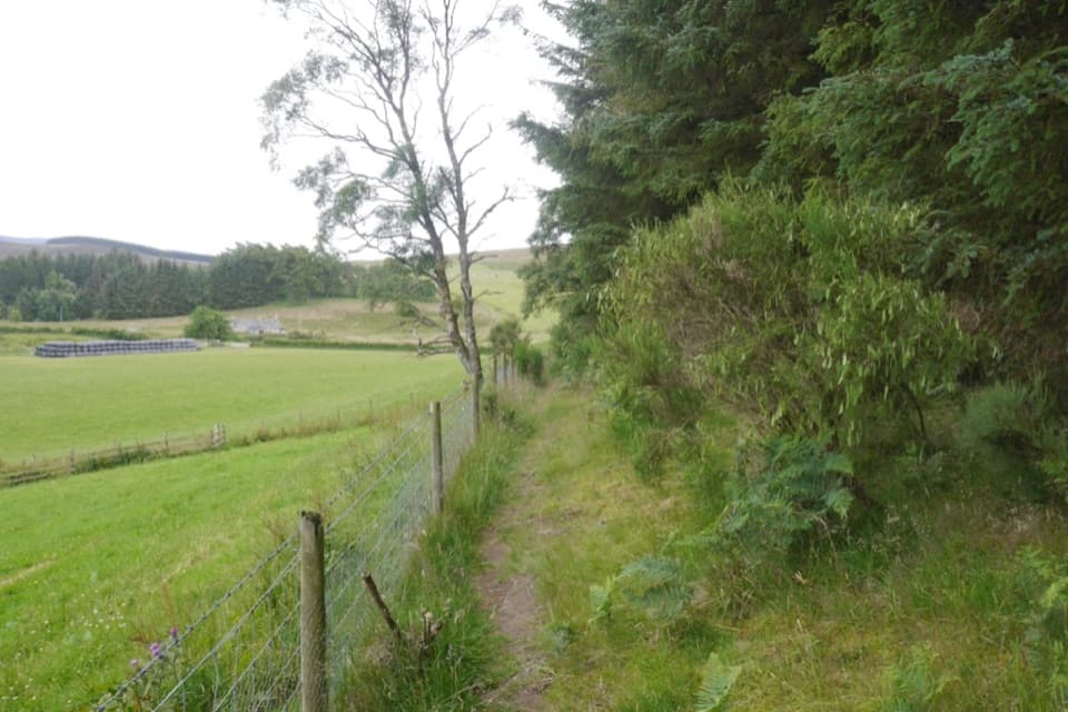 ModerateCarn Daimh Circuit from Clash Woods10 km · 3.5 hr · 5.8 km awayA 10 km loop climbs past farms to a broad summit.
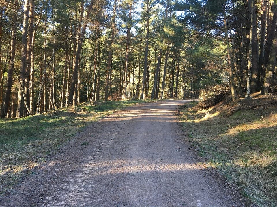 EasyClash Wood Path3.2 km · 1 hr · 5.8 km awayA two-mile forest loop with farmland and Ladder Hills views.
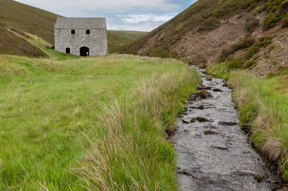 EasyLecht Mine Trail1.6 km · 45 min · 6.9 km awayA short valley walk ends at a restored Highland crushing mill.
 Sight · 2.6 km awayScalan SeminaryA hidden Catholic seminary reached by a rough Glenlivet farm track.Sight · 6.2 km awayLecht MineA lone crushing mill rewards a short, atmospheric hill walk.
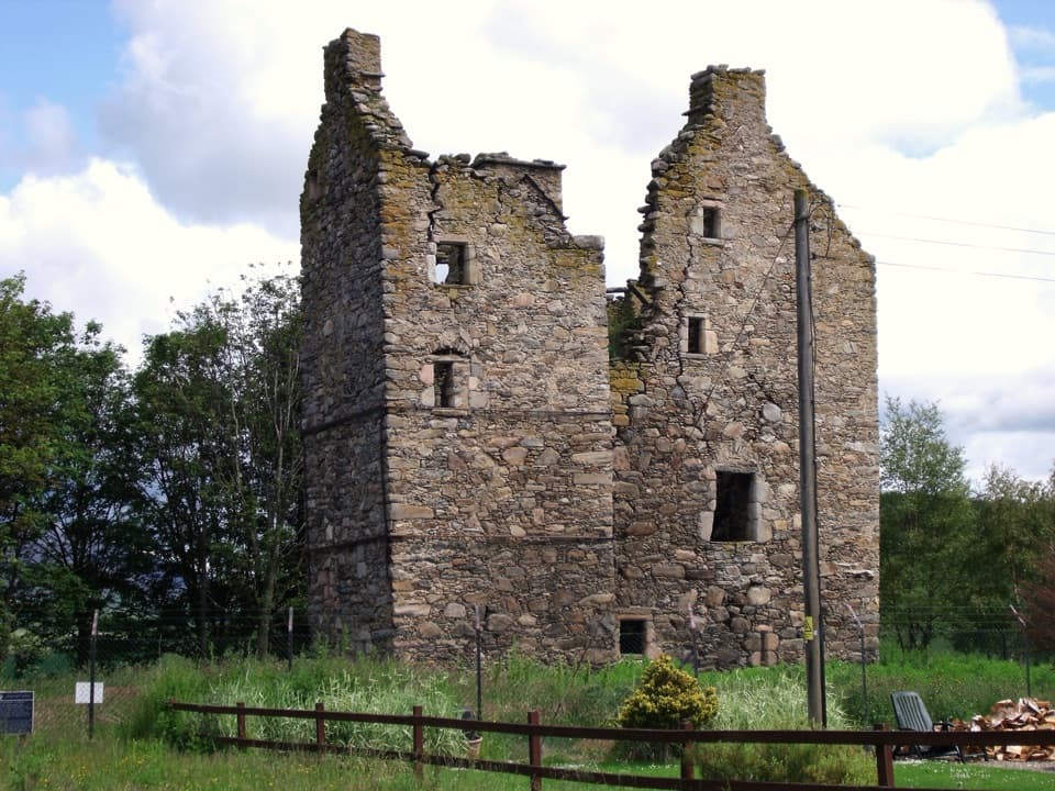 Sight · 8.1 km awayBlairfindy CastleA short detour to see a 16th-century tower house up close.
 Visitor center · 8.3 km awayGlenlivet Estate Visitor CentreA useful trail-map stop at Tomintoul’s far end.
 Store · 8.4 km awayThe Whisky CastleMore than 600 malts in a shop dating to 1904.
 Visitor center · 8.4 km awayTomintoul & Glenlivet Discovery Centre & MuseumA village museum with local stories and a virtual dark-sky trip.
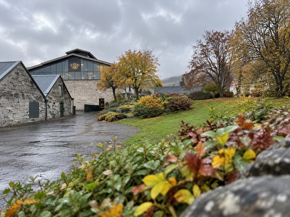 Sight · 8.4 km awayThe Glenlivet DistillerySee Speyside whisky being made, then taste it.
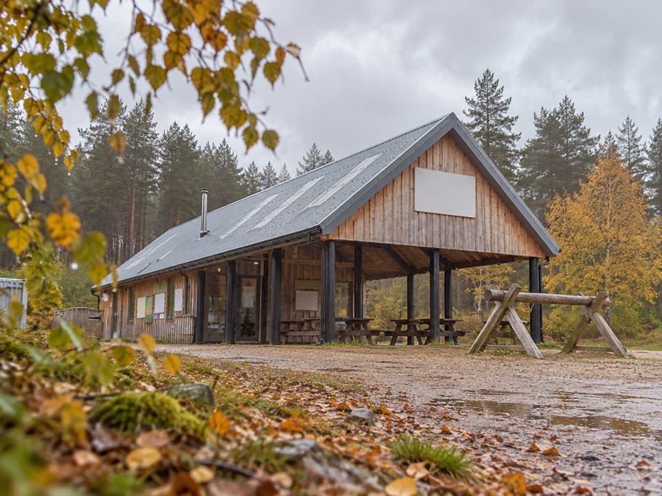 Sight · 8.7 km awayBike GlenlivetFlowing mountain-bike trails, café and zip wire reward a longer stop.
Parkwolf’s Cairngorms ranking

The audio tour guide for the drive, plus offline maps, trails, and wildlife heatmaps for when the signal drops.





