Parking
Use the signed Well of the Lecht car park on the north side of Lecht Pass, beside the A939. The path starts at the car park.
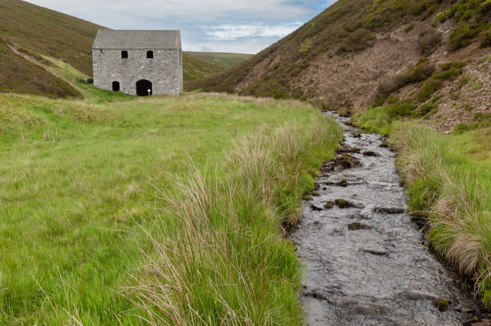
Cairngorms National Park, SC
A short valley walk ends at a restored Highland crushing mill.
Overview
Map & elevation
Plan your hike

The highest, rockiest slopes around here are a summer buffet for grizzly bears.
Cairngorms Tour Guide
Parkwolf is a GPS audio tour guide for Cairngorms National Park. As you drive, it chimes in with what’s ahead: hidden gems, upcoming stops, history, geology, and wildlife, right through your car’s speakers.
See the Cairngorms audio tourRecorded for this trailhead
Lecht Mine and its Crushing Mill“You're nearing the Well of the Lecht car park, the walking access for Lecht Mine. Allow thirty minutes to an hour for the one-mile return walk into the glen, with soft or boggy patches after rain.”
Plays as you drive up to this trailhead in the Parkwolf Cairngorms Tour Guide.
More stories near here in the app
“Fantastic app with many points of information… It’s great to just turn on while you’re driving and it gives you an audio tour of the national Park. We love it!!!!”


Trail guide
This is an easy 1 mile (1.5 km) out-and-back from the Well of the Lecht car park to the old mine's crushing mill. Allow 30 to 60 minutes; the route has about 32 m of ascent. Follow the clear track into the glen, take the short left-hand footbridge path, then rejoin the track and continue to the mill you can see ahead. At the signed path to Chapeltown, stay on the track for the mine. Return the same way. The route is short, but the grassy sections can be soft or boggy after rain.
The Lecht first opened for iron ore in 1730, but that operation closed after seven years. In 1841 the Duke of Richmond and Gordon reopened it for manganese. More than 60 men and boys worked there at its peak; the mine shut again after five years as imported ore became cheaper.
The stone crushing mill is the only mine building left standing. Its machinery was powered by a water wheel fed through a mill lade from a stream farther up the valley; the mill was repaired and reroofed in the 1980s. Across the burn, look for foundations, three quarry pits and broad spoil heaps. Some of those heaps are iron ore left on the surface while miners searched deeper for manganese.
This suits a leg-stretch and a close look at an unusual industrial ruin, rather than anyone seeking a long hike. The mill, stream and path make the best view: pause before the building and frame it with the burn in the foreground. Sheep may be along the route. Dogs are allowed under Scotland's access rights, but keep them close around sheep and moorland wildlife, especially in the bird-breeding season.
Wildlife
 159 sightingsRed DeerMost seen around 7 AMSighting map
 63 sightingsReindeerMost seen around 6 PMSighting map
 102 sightingsOspreyMost seen around 5 PMSighting map
 37 sightingsBlack GrouseMost seen around 4 AMSighting map
 72 sightingsRed GrouseMost seen around 6 PMSighting map
 82 sightingsPine MartenMost seen around 9 PMSighting map
Sighting maps show where each species has been reported across Cairngorms. Wildlife moves, so no sighting is guaranteed.
Keep exploring
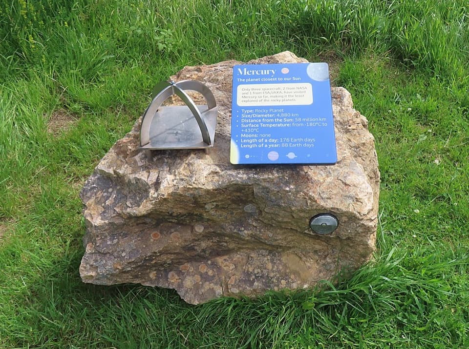 ModerateGlenmulliach Viewpoint and Planet Trail5.6 km · 2 hr · 4.4 km awayWalk the planets, then climb to a viewpoint above Tomintoul.
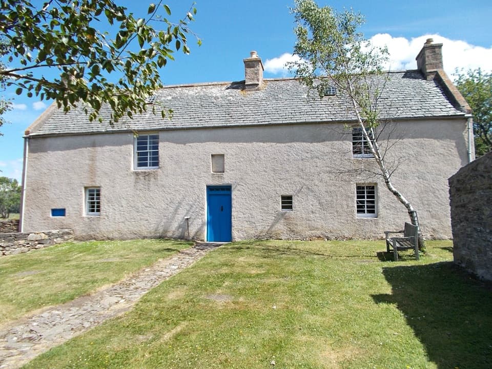 EasyScalan Heritage Trail4.5 km · 1.5 hr · 5 km awayA 2.8-mile loop through seminary history and hill country
 ModerateMalcolm Gillespie Smugglers Trail11.6 km · 4 hr · 5.7 km awayA remote Glenlivet loop through smuggling-country moorland
 ChallengingThe Steplar17 km · 6.5 hr · 6.6 km awayA lonely old drove road across heather, burns and hill country.
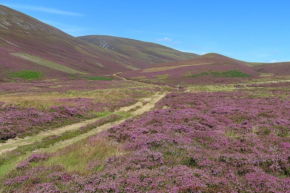 ChallengingGlenfiddich Road23.1 km · 9 hr · 6.9 km awayA full-day moorland crossing past a cairn raised for Queen Victoria.
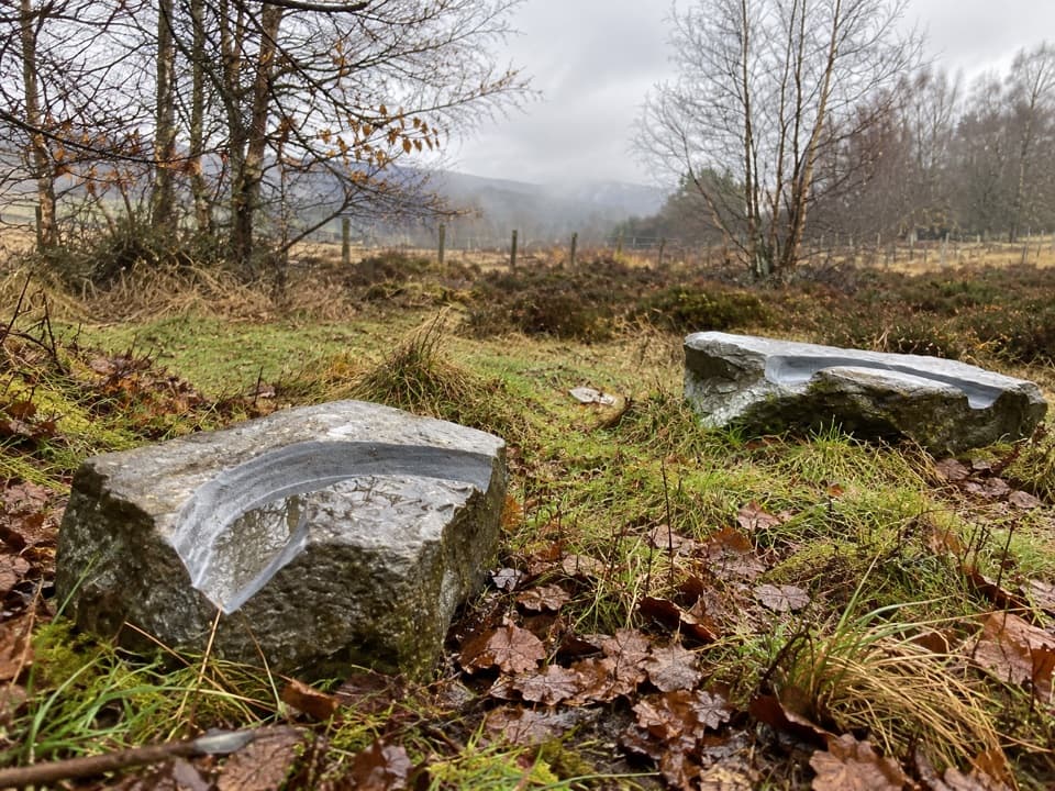 EasyMindfulness Trail, Tomintoul0.5 km · 15 min · 6.9 km awayA short, easy woodland loop with carved stones about the landscape.
 ModerateOld Military Road Walk, Tomintoul4 km · 1.5 hr · 6.9 km awayA rough old road climbs to views across Conglass Valley
 ChallengingBen Avon via Strath Avon40.6 km · 10.5 hr · 7.4 km awayA 25-mile day to granite tors and a pathless summit plateau.Sight · 0.7 km awayLecht MineA lone crushing mill rewards a short, atmospheric hill walk.
 Sight · 2.7 km awayLecht Ski CentreGood family skiing and lessons on a high Highland pass.
 Sight · 4.3 km awayScalan SeminaryA hidden Catholic seminary reached by a rough Glenlivet farm track.
 Sight · 5.8 km awayThe WatchersFour sculptural seats face Corgarff Castle across a wide valley.
 Sight · 6.9 km awayCorgarff CastleA tower house turned Redcoat barracks, ringed by a star wall.
 Visitor center · 6.9 km awayGlenlivet Estate Visitor CentreA useful trail-map stop at Tomintoul’s far end.
 Store · 7.3 km awayThe Whisky CastleMore than 600 malts in a shop dating to 1904.
 Visitor center · 7.5 km awayTomintoul & Glenlivet Discovery Centre & MuseumA village museum with local stories and a virtual dark-sky trip.
Parkwolf’s Cairngorms ranking

The audio tour guide for the drive, plus offline maps, trails, and wildlife heatmaps for when the signal drops.





