Parking
The mapped circuit starts at The Square and follows town streets toward Seafield Avenue and the caravan park. A dedicated trail car park and parking capacity were not verified.
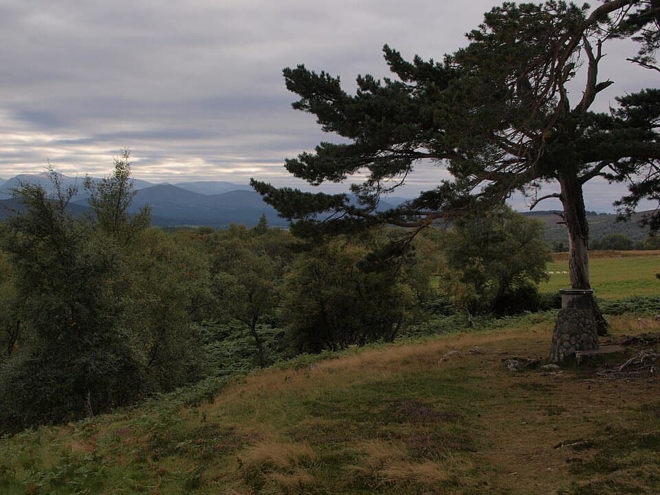
Cairngorms National Park, SC
A steep climb to a hilltop cairn above Grantown
Overview
Map & elevation
Plan your hike

The highest, rockiest slopes around here are a summer buffet for grizzly bears.
Cairngorms Tour Guide
Parkwolf is a GPS audio tour guide for Cairngorms National Park. As you drive, it chimes in with what’s ahead: hidden gems, upcoming stops, history, geology, and wildlife, right through your car’s speakers.
See the Cairngorms audio tourRecorded for this trailhead
Grantown Square and Museum“You're coming up on Grantown's town square, with Grantown Museum tucked behind the Town House. I'd stop if you enjoy small local-history museums; this is a compact, seasonal visit rather than a large collection.”
Plays as you drive up to this trailhead in the Parkwolf Cairngorms Tour Guide.
More stories near here in the app
“Fantastic app with many points of information… It’s great to just turn on while you’re driving and it gives you an audio tour of the national Park. We love it!!!!”


Trail guide
The Viewpoint Trail is a 3.25-mile circular walk from The Square in Grantown-on-Spey. It follows town streets to the old railway path, climbs through woodland to a stone viewpoint indicator, then returns by the former railway line. Allow about two hours. The payoff is a set of open looks back over Grantown and the surrounding hills; the first part of the walk is street access, and the climb is steeper than the distance suggests.
From The Square, follow the town route toward Seafield Avenue and the caravan park, cross the small bridge, then join the old railway line. After roughly 150 metres, take the signed path uphill. It winds through woodland and between fences, with long steep sections, steps, narrow kissing gates and rough, rocky ground that can be wet underfoot. An optional stile detour reaches a seat with a view back over town and the Cairngorms; another seat looks toward the Cromdale Hills.
The final stop is a clearing with benches and a stone view indicator. On a clear day, use it to pick out the hills around Grantown. The descent passes Scots pines and drops below a crag beside a fence, then follows a farm track past houses to the old railway. Turn back toward town along the Dava Way, the former railway corridor, through a deep cutting above the caravan park. Juniper also grows in the mixed woodland along the route.
Dogs are allowed under Scotland’s outdoor access rules; keep them in sight and under control, especially near the farm section. The route starts at The Square, but no dedicated trail car park, parking capacity or on-route toilet or water point was verified. The final cairn is the best photo stop: frame its stone indicator with Grantown and the hills behind it.
Wildlife
 159 sightingsRed DeerMost seen around 7 AMSighting map
 63 sightingsReindeerMost seen around 6 PMSighting map
 102 sightingsOspreyMost seen around 5 PMSighting map
 37 sightingsBlack GrouseMost seen around 4 AMSighting map
 72 sightingsRed GrouseMost seen around 6 PMSighting map
 82 sightingsPine MartenMost seen around 9 PMSighting map
Sighting maps show where each species has been reported across Cairngorms. Wildlife moves, so no sighting is guaranteed.
Keep exploring
 ModerateDava Way38.2 km · 11 hr · 0.1 km awayWalk the old railway across open moor to a seven-arch viaduct.
 ModerateDreggie and Glen Beg Circuit9 km · 3 hr · 0.1 km awayA rolling loop through Glen Beg hills, the Spey and a lochan
 ModerateAnagach Red Trail8.9 km · 2.5 hr · 0.4 km awayA longer loop into the heart of Anagach’s pinewoods.
 ModerateAnagach Blue Trail4 km · 1.3 hr · 0.4 km awayA blue loop through Anagach’s pinewoods and moss.
 EasyAnagach Green Trail2 km · 48 min · 0.5 km awayA gentle pinewood loop along a section of old military road.
 EasyAll Abilities Trail, Anagach Woods1.6 km · 45 min · 0.5 km awayA gentle pinewood loop on flat, firm paths with no steps.
 ModerateBeachen Green Trail2 km · 45 min · 0.9 km awayBirch and juniper woods frame a short climb to Grantown views.
 ModerateBeachen Orange Trail4.8 km · 2 hr · 0.9 km awayA rough woodland loop opens to a Glenbeg view.
 Sight · 0.2 km awayGrantown MuseumA Highland town’s story, from a brass brooch to its old schoolhouse.
 Campground · 0.8 km awayGrantown-on-Spey Caravan ParkStay close to town, with touring pitches, pods and a chalet.
 Sight · 6.6 km awayCastle RoyA compact medieval fortress with a wide Cairngorms view.
 Visitor center · 7.5 km awayThe Speyside CentreA plant-filled café stop with clootie dumpling and Highland gifts.
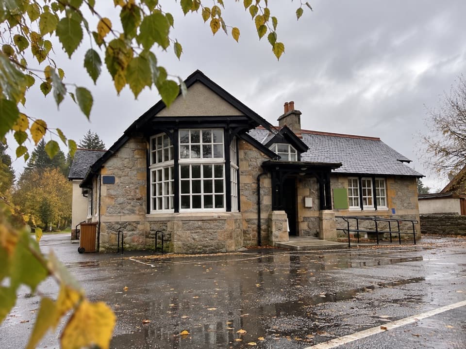 Visitor center · 8.1 km awayExplore Abernethy Visitor CentreA useful first stop for Abernethy Forest maps and woodland walks.
 Visitor center · 11 km awayLoch Garten Nature CentreNest scopes, wildlife cameras and pinewood trails, whatever you spot.
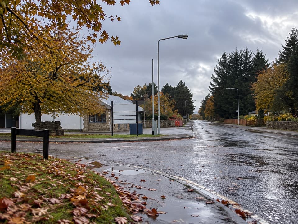 Lodging · 12.9 km awayBoat of Garten Holiday ParkA handy village base for exploring Strathspey and the Cairngorms.
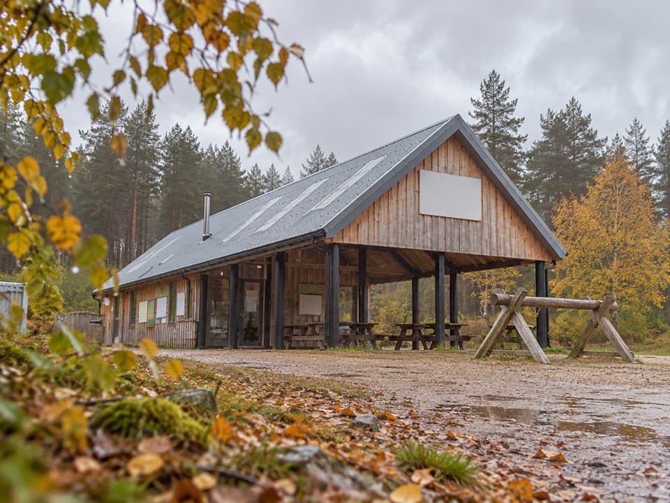 Sight · 13.6 km awayBike GlenlivetFlowing mountain-bike trails, café and zip wire reward a longer stop.
Parkwolf’s Cairngorms ranking

The audio tour guide for the drive, plus offline maps, trails, and wildlife heatmaps for when the signal drops.





