Parking
Start at The Square in Grantown-on-Spey. Parking is also noted at nearby Burnfield car park.

Cairngorms National Park, SC
A rolling loop through Glen Beg hills, the Spey and a lochan
Overview
Map & elevation
Plan your hike

The highest, rockiest slopes around here are a summer buffet for grizzly bears.
Cairngorms Tour Guide
Parkwolf is a GPS audio tour guide for Cairngorms National Park. As you drive, it chimes in with what’s ahead: hidden gems, upcoming stops, history, geology, and wildlife, right through your car’s speakers.
See the Cairngorms audio tourRecorded for this trailhead
Grantown Square and Museum“You're coming up on Grantown's town square, with Grantown Museum tucked behind the Town House. I'd stop if you enjoy small local-history museums; this is a compact, seasonal visit rather than a large collection.”
Plays as you drive up to this trailhead in the Parkwolf Cairngorms Tour Guide.
More stories near here in the app
“Fantastic app with many points of information… It’s great to just turn on while you’re driving and it gives you an audio tour of the national Park. We love it!!!!”


Trail guide
This 9 km (5.6 mi) loop starts and ends at The Square, crossing the rolling tracks above Dreggie and Glen Beg before reaching the River Spey and returning through woodland and Grant Park. Allow about three hours for 173 m of climbing, rough farm tracks and stretches of minor road. It is a good choice if you want to leave town on foot and see both open hillside and riverside scenery.
From The Square, head along Seafield Avenue, past the houses and caravan park, then climb beneath the old railway in steep zigzags. Ignore the right-hand path toward the Dava Way. At Wester Dreggie, keep to the right of the farmhouse and barn, then take the signed left fork for Wester Gorton. Birch trees give way to open ground beyond a gate, with views toward the nearby hills and the Cairngorms on a clear day.
The route mixes paths, estate tracks and minor roads. The zigzag climb and uneven track make this a moderate walk rather than a town stroll. Near Glen Beg, the burn crossing has been described both as a ford with a small bridge nearby and as stepping stones; check the water before choosing where to cross. The track climbs again past farm buildings, then descends to a road. The circuit is described as a public walking route, though a current managing-authority access notice could not be confirmed. Keep dogs under close control around farm animals and on public roads.
After crossing the A95, the route reaches a minor road beside the Spey, passing a small beach and bench before climbing away from the river. A tunnel beneath the A95 leads into a wooded path and the lawns around Grant Park lochan. Finish along the town streets and High Street back to The Square. Cafés and other refreshments are in Grantown, not on the rural stretch.
Grantown was laid out as a planned town in the 18th century, and its Georgian and Victorian buildings and local-history plaques are visible along the High Street and around The Square. The railway arrived in the 19th century and helped turn the town into a leisure destination; the circuit passes below the old line. Grant Park lochan was created when sewage works were built and later served for years as a winter skating and curling rink. Ducks are now commonly seen there.
Wildlife
 159 sightingsRed DeerMost seen around 7 AMSighting map
 63 sightingsReindeerMost seen around 6 PMSighting map
 102 sightingsOspreyMost seen around 5 PMSighting map
 37 sightingsBlack GrouseMost seen around 4 AMSighting map
 72 sightingsRed GrouseMost seen around 6 PMSighting map
 82 sightingsPine MartenMost seen around 9 PMSighting map
Sighting maps show where each species has been reported across Cairngorms. Wildlife moves, so no sighting is guaranteed.
Keep exploring
 ModerateDava Way38.2 km · 11 hr · At the trailheadWalk the old railway across open moor to a seven-arch viaduct.
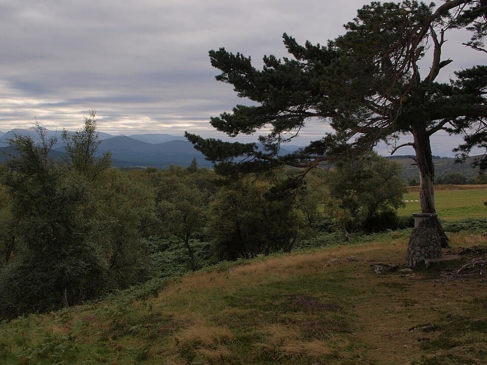 ModerateViewpoint Trail, Grantown-on-Spey5.2 km · 2 hr · 0.1 km awayA steep climb to a hilltop cairn above Grantown
 ModerateAnagach Red Trail8.9 km · 2.5 hr · 0.4 km awayA longer loop into the heart of Anagach’s pinewoods.
 ModerateAnagach Blue Trail4 km · 1.3 hr · 0.4 km awayA blue loop through Anagach’s pinewoods and moss.
 EasyAnagach Green Trail2 km · 48 min · 0.4 km awayA gentle pinewood loop along a section of old military road.
 EasyAll Abilities Trail, Anagach Woods1.6 km · 45 min · 0.5 km awayA gentle pinewood loop on flat, firm paths with no steps.
 ModerateBeachen Green Trail2 km · 45 min · 0.9 km awayBirch and juniper woods frame a short climb to Grantown views.
 ModerateBeachen Orange Trail4.8 km · 2 hr · 0.9 km awayA rough woodland loop opens to a Glenbeg view.
 Sight · 0.3 km awayGrantown MuseumA Highland town’s story, from a brass brooch to its old schoolhouse.
 Campground · 0.7 km awayGrantown-on-Spey Caravan ParkStay close to town, with touring pitches, pods and a chalet.
 Sight · 6.5 km awayCastle RoyA compact medieval fortress with a wide Cairngorms view.
 Visitor center · 7.4 km awayThe Speyside CentreA plant-filled café stop with clootie dumpling and Highland gifts.
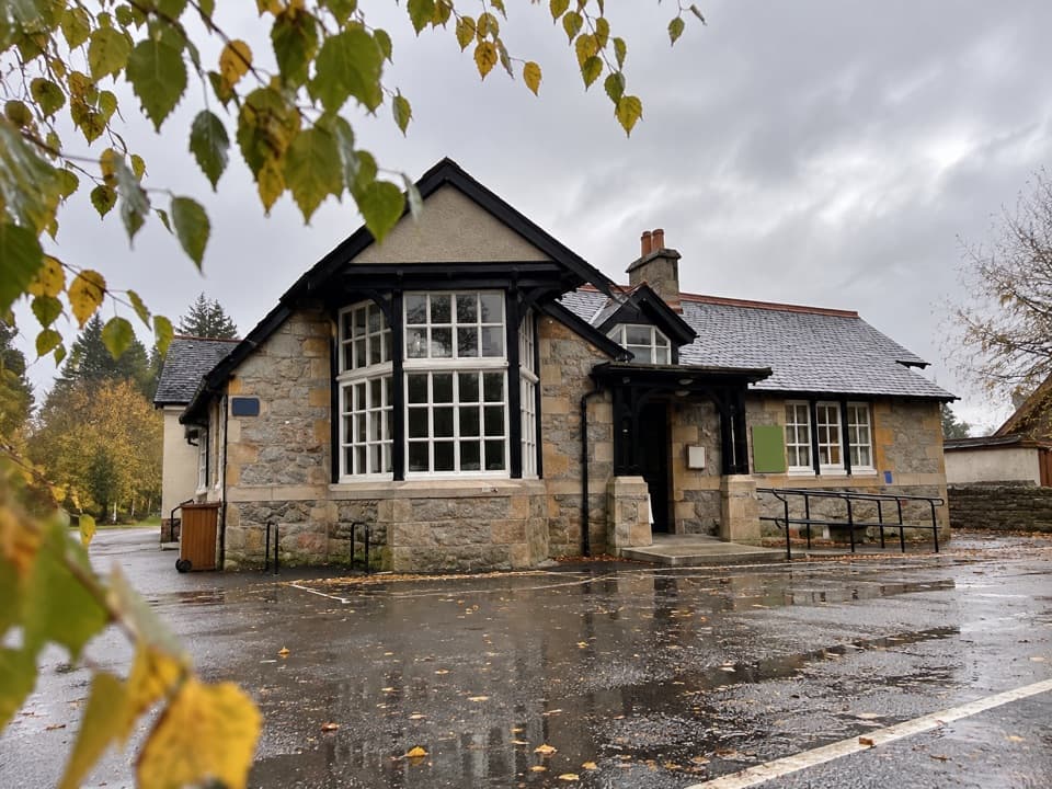 Visitor center · 8 km awayExplore Abernethy Visitor CentreA useful first stop for Abernethy Forest maps and woodland walks.
 Visitor center · 10.9 km awayLoch Garten Nature CentreNest scopes, wildlife cameras and pinewood trails, whatever you spot.
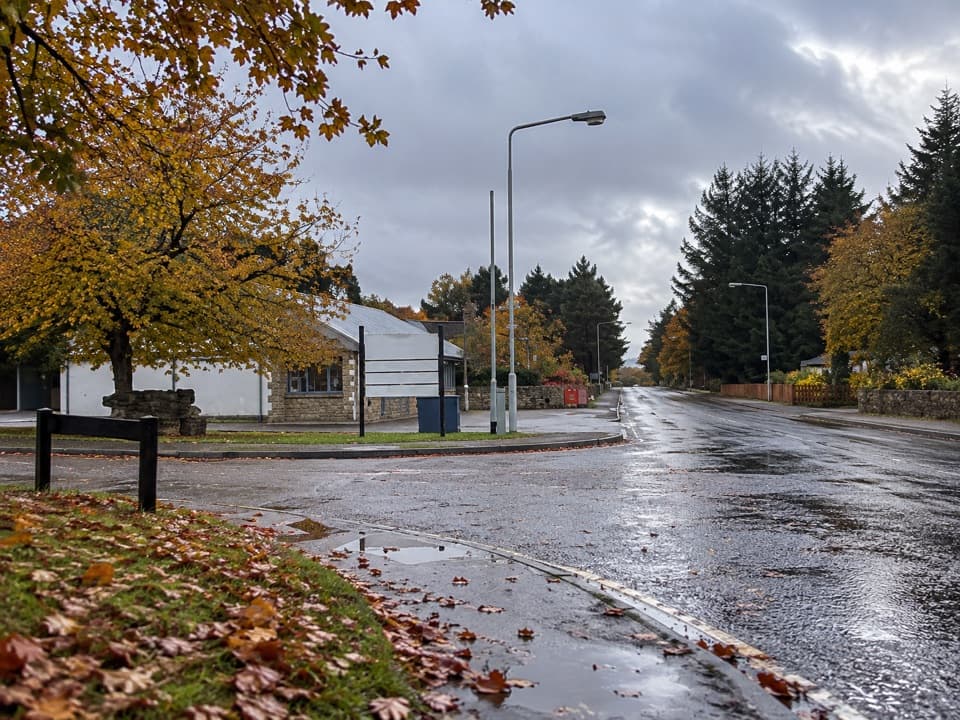 Lodging · 12.8 km awayBoat of Garten Holiday ParkA handy village base for exploring Strathspey and the Cairngorms.
 Sight · 13.5 km awayCarrbridge Old Packhorse BridgeA ruined 1717 bridge with a funeral-route story.
Parkwolf’s Cairngorms ranking

The audio tour guide for the drive, plus offline maps, trails, and wildlife heatmaps for when the signal drops.





