Parking
Start and finish at the named Elephant Hill Trailhead parking area. The separate Elephant Hill four-wheel-drive road is not the trailhead access.

#2 of 63 trails in Canyonlands
Canyonlands National Park, UT
A spire-ringed meadow and narrow rock passages reward a full-day loop.
Overview
Map & elevation
Plan your hike

The highest, rockiest slopes around here are a summer buffet for grizzly bears.
Canyonlands Tour Guide
Parkwolf is a GPS audio tour guide for Canyonlands National Park. As you drive, it chimes in with what’s ahead: hidden gems, upcoming stops, history, geology, and wildlife, right through your car’s speakers.
See the Canyonlands audio tourRecorded for this trailhead
Elephant Hill and Druid Arch“You're nearing Elephant Hill Trailhead, where the hike to Druid Arch begins.”
Plays as you drive up to this trailhead in the Parkwolf Canyonlands Tour Guide.
More stories near here in the app
“Fantastic app with many points of information… It’s great to just turn on while you’re driving and it gives you an audio tour of the national Park. We love it!!!!”


Trail guide
This strenuous 10.7-mile loop starts at Elephant Hill Trailhead, crosses sandy and slickrock approaches to Chesler Park, circles its meadow of spires, then returns through the Joint’s deep rock fissures. It is a full-day hike, not the short walk to the first viewpoint: the National Park Service estimates 5–7 hours, and about six hours is a useful planning point with time to pause. A short section follows a four-wheel-drive road before cairns lead back onto footpath.
Expect uneven stone steps, sandy washes, slickrock and repeated climbs. The park classifies the loop as strenuous and says its cumulative climbing is much greater than the overall elevation change. There are frequent junctions and side paths, so carry a map or offline route and follow the cairns. Water is scarce; carry all you need. The park recommends 1 liter per person per hour, plus snacks, sturdy footwear and a headlamp. In winter, snow or ice can cover the route.
If you want a shorter day, the 5.8-mile round trip to Chesler Park Viewpoint takes about 3–4 hours and returns the way you came. It does not complete the loop or pass through the Joint.
The approach crosses open grass and soft sand, climbs a low sandstone ledge and passes through a narrow crack before dropping toward Elephant Canyon. After crossing the canyon’s sandy floor, the route climbs again toward the Needles. Near the high saddle between spires, the view opens over Chesler Park: a broad grassland enclosed by pink sandstone towers.
The loop follows the meadow’s edge, with spires rising around the grass and pale sandstone benches. Side trails lead toward Druid Arch and backcountry campsites; stay on the Chesler loop unless you have planned one of those separate hikes. On a clear day, the rolling slickrock gives long views toward the La Sal Mountains and the Needles. The saddle above the meadow is the strongest place to pause for a wide composition that shows both the trail and the ring of spires.
The southern section narrows into fractures split through the sandstone. Some passages are shoulder-width, and steps, boulder jams and a hollowed passage make the route feel very different from the open meadow. Turn sideways where the rock pinches in, watch your footing, and stay with the main cairned route; branching slots can make it easy to lose the line. Beyond the fissures, the terrain opens onto grassy low hills and sandy tracks before the return connector.
The sandstone preserves pale layers from ancient windblown dunes and red bands from flood-deposited sediment. Later uplift and movement of buried salt fractured the rock in opposing directions. Erosion widened those joints into the blocks, passages and spires that define this part of the park; the Joint is a close-up walk through one of those fractures.
There is no dependable water along this backcountry route. The trail is rough and uneven, with stone steps and narrow rock passages; it is not wheelchair accessible. Dogs are prohibited on hiking trails, apart from service animals. Overnight backcountry camping requires a permit. The short road segment in the route is a four-wheel-drive track, not the Elephant Hill starting access.
Wildlife
 48 sightingsBighorn SheepMost seen around 7 AMSighting map
 47 sightingsMule DeerMost seen around 7 AMSighting map
 12 sightingsCoyoteMost seen around 7 PMSighting map
 30 sightingsWestern RattlesnakeMost seen around 7 PMSighting map
 18 sightingsTurkey VultureMost seen around 11 AMSighting map
 18 sightingsWild TurkeyMost seen around 7 AMSighting map
Sighting maps show where each species has been reported across Canyonlands. Wildlife moves, so no sighting is guaranteed.
Keep exploring
 ChallengingDruid Arch Trail10.8 mi · 6 hr · At the trailheadA long canyon hike to a giant sandstone arch.
 ChallengingChesler Park Viewpoint Trail5.8 mi · 3.5 hr · At the trailheadA rocky climb to the pass above Chesler Park's grass and spires.
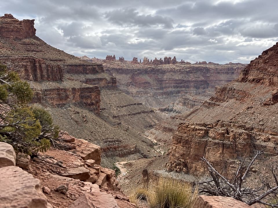 ChallengingLower Red Lake Canyon Trail18.8 mi · 14 hr · At the trailheadA strenuous backcountry descent to the Colorado and back
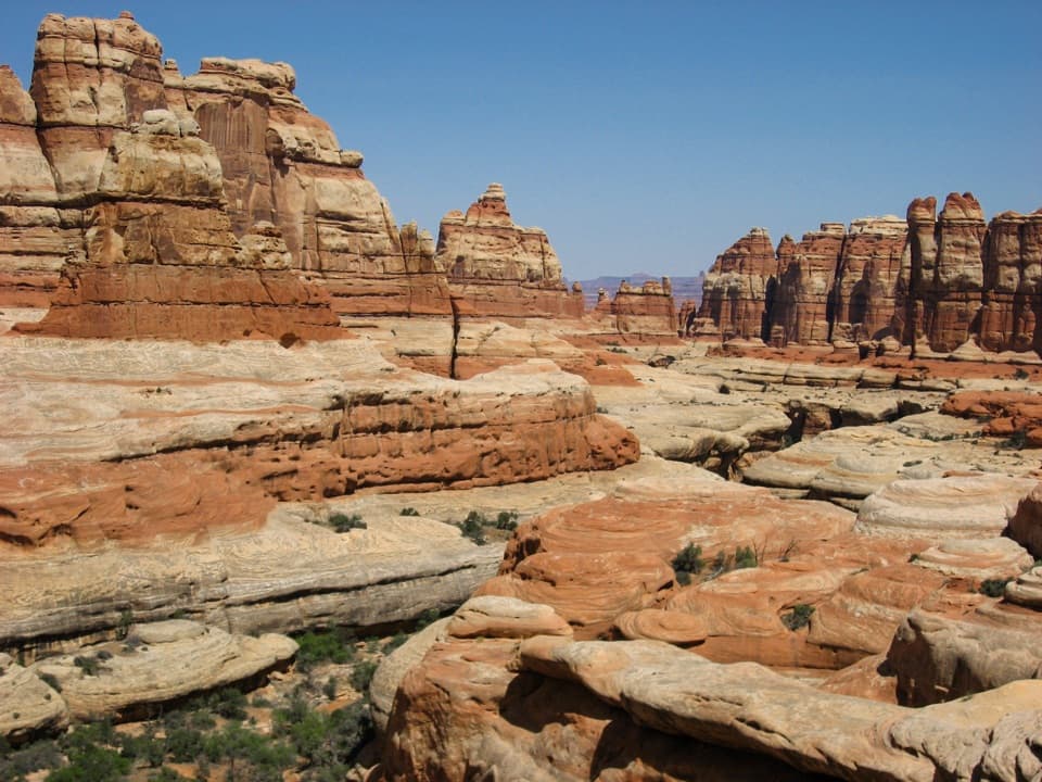 ChallengingBig Spring Canyon to Elephant Canyon Loop Trail10.5 mi · 5 hr · 1.3 mi awayTwo ladders cross a slickrock pass between Big Spring and Elephant.
 ModerateBig Spring to Wooden Shoe Canyon Loop Trail7.5 mi · 3.5 hr · 1.3 mi awayTwo canyons, one high saddle, and a rougher route between them.
 ChallengingPeekaboo Trail10.8 mi · 6 hr · 1.3 mi awayTwo ladders and high slickrock make this a serious Needles day hike.
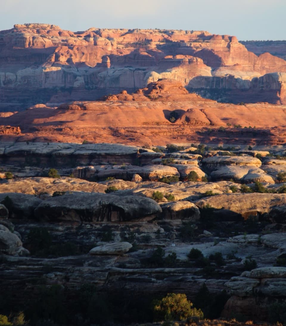 ChallengingWooden Shoe Canyon to Lost Canyon Loop Trail8.7 mi · 5.5 hr · 1.3 mi awayTwo canyon floors, slickrock climbs, and one ladder in a rugged loop.
 ModerateDevils Kitchen to Elephant Canyon Trail5.2 mi · 3.5 hr · 1.8 mi awayA remote through-hike past red needles into Elephant Canyon.
 Campground · 1.4 mi awayThe Needles CampgroundCamp among sandstone spires, with Needles hikes close at hand.
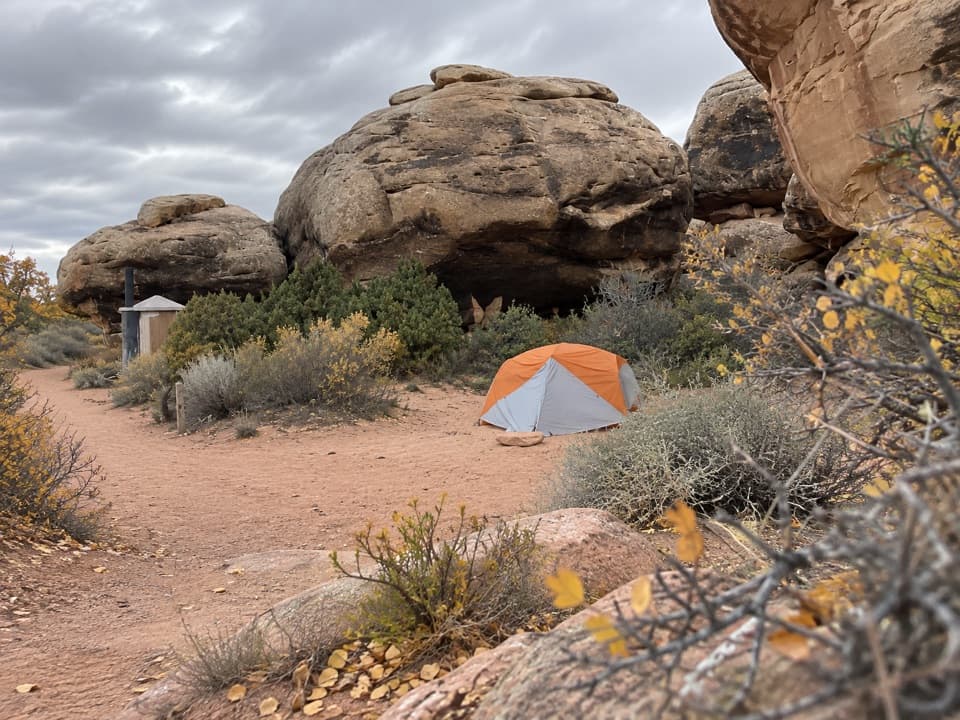 Campground · 1.9 mi awayDevils Kitchen CampgroundA four-site backcountry camp reached by the technical Elephant Hill road.
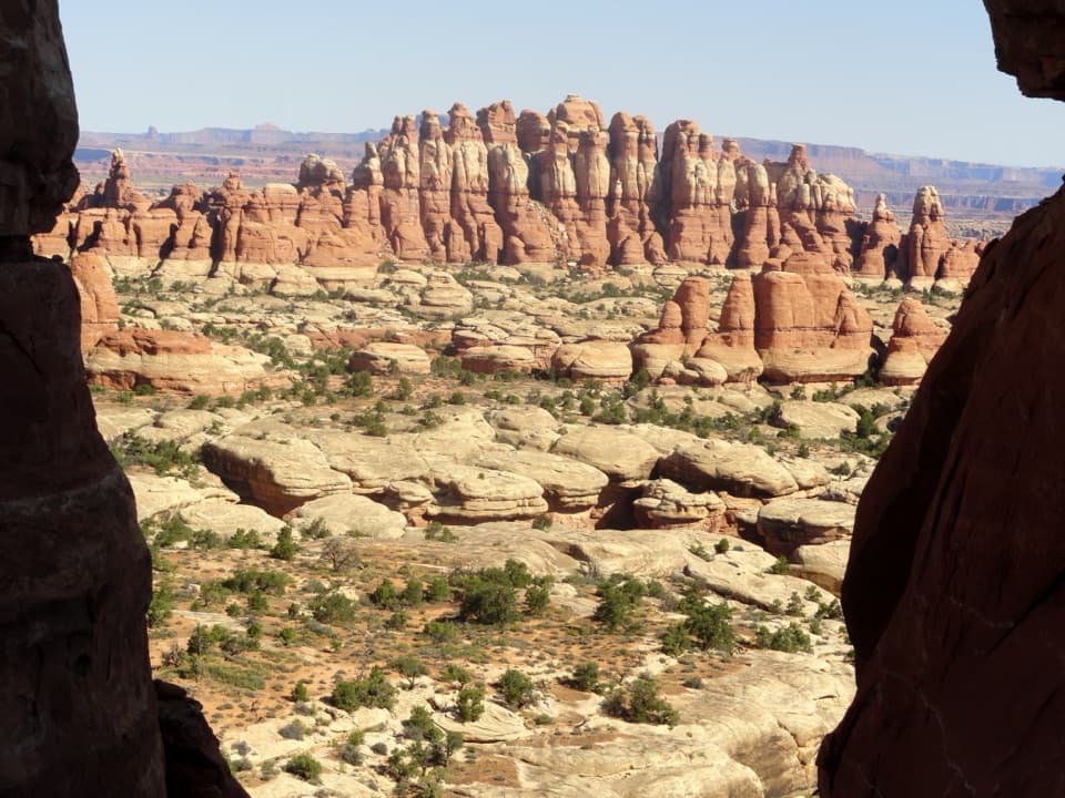 Sight · 1.9 mi awayChesler Park ViewpointA grassland basin ringed by stone needles, earned on a long hike.
 Picnic area · 2 mi awayNeedles Scenic Drive Picnic AreaA shaded stop where rain brings tiny desert creatures to life.
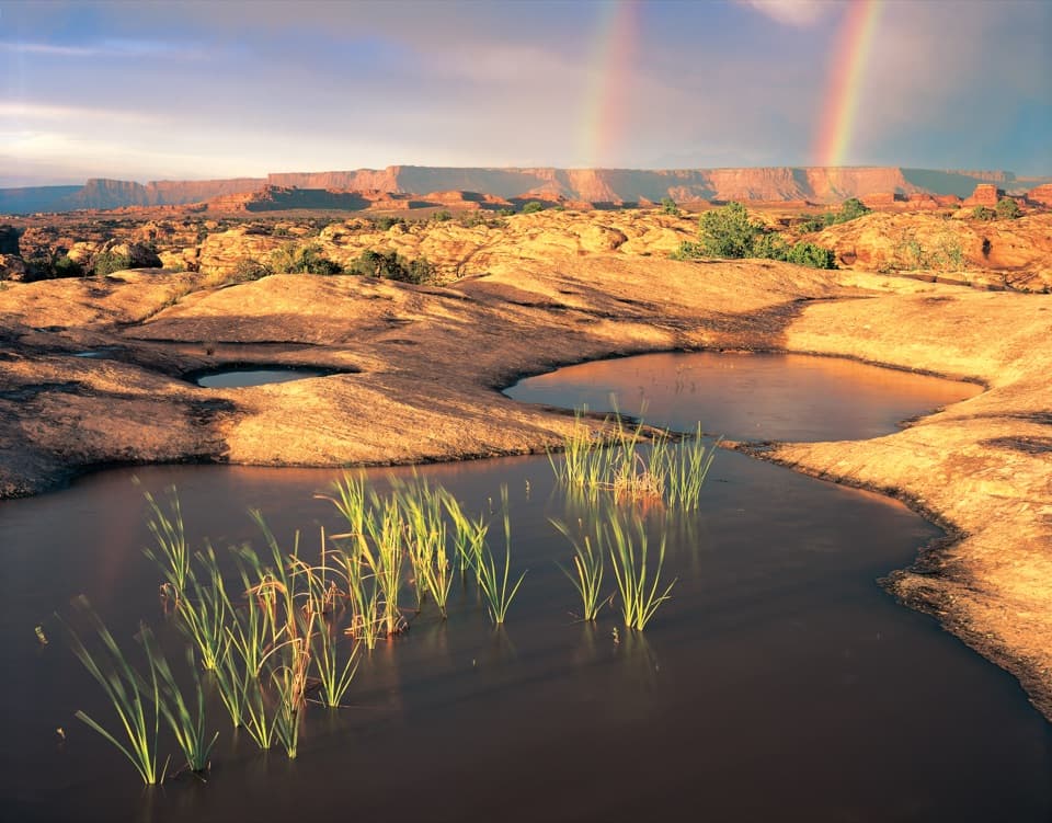 Sight · 2.3 mi awayPothole PointRain-fed pools bring a small world to life on bare sandstone.
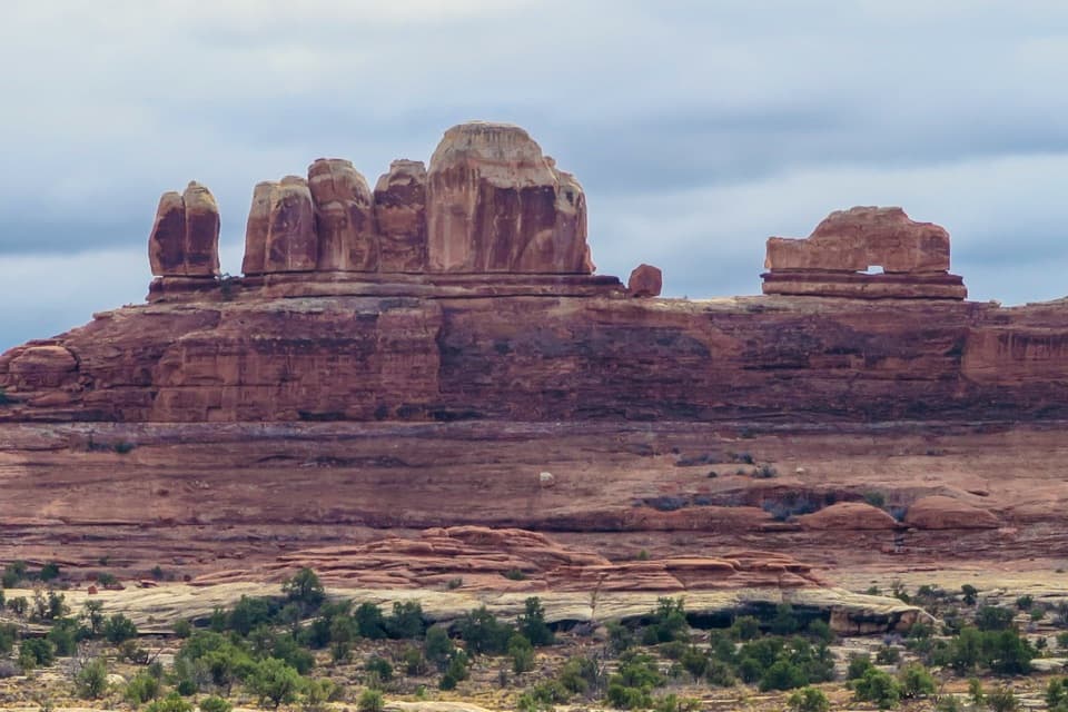 Sight · 2.6 mi awayWooden Shoe Arch OverlookA quick stop for one unmistakable shoe-shaped arch.
 Sight · 2.6 mi awayBig Spring Canyon OverlookSpires and sandstone benches line a bend in Big Spring Canyon.
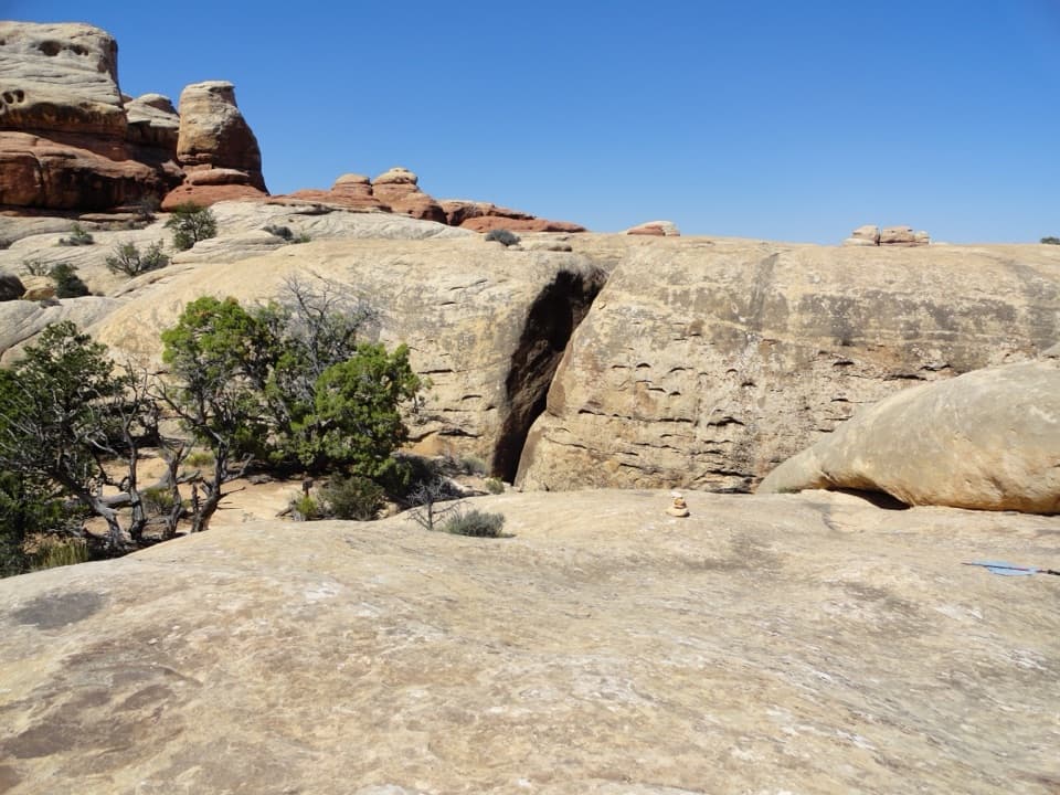 Sight · 3 mi awayThe JointA shaded quarter-mile passage through deep Cedar Mesa sandstone fractures.
Parkwolf’s Canyonlands ranking

The audio tour guide for the drive, plus offline maps, trails, and wildlife heatmaps for when the signal drops.


