Parking
Park at the Big Spring Canyon trailhead at the end of the paved Needles road, behind the large red and white signs. Lot capacity, toilets and drinking water at the trailhead were not confirmed; carry your water for the hike.
#10 of 63 trails in Canyonlands
Canyonlands National Park, UT
A strenuous day hike to the Green–Colorado rivers’ dramatic meeting point.
Overview
This is an 11-mile out-and-back from Big Spring Canyon trailhead to a cliff-edge view of the Green and Colorado rivers meeting about 1,000 feet below. The park estimates 5–6 hours and calls it strenuous. It’s a full day in open Needles country, not a quick walk to an overlook; the miles buy you a long, varied crossing of sandstone canyons and one remarkable finish. Dogs aren’t allowed, though service animals are.
 Parkwolf’s verdictIs this the hike for you?
Map & elevation
Plan your hike

The highest, rockiest slopes around here are a summer buffet for grizzly bears.
Canyonlands Tour Guide
Parkwolf is a GPS audio tour guide for Canyonlands National Park. As you drive, it chimes in with what’s ahead: hidden gems, upcoming stops, history, geology, and wildlife, right through your car’s speakers.
See the Canyonlands audio tourRecorded for this trailhead
Big Spring Canyon and Slickrock“You're approaching Big Spring Canyon Overlook, at the end of the paved Needles road. Stop for sandstone spires around a broad canyon bend, with some of the view visible from the parking area.”
Plays as you drive up to this trailhead in the Parkwolf Canyonlands Tour Guide.
More stories near here in the app
“Fantastic app with many points of information… It’s great to just turn on while you’re driving and it gives you an audio tour of the national Park. We love it!!!!”


Trail guide
Treat this as a dry, exposed hike. The park recommends 1 litre of water per person per hour, plus snacks, sturdy shoes, a headlamp and a map. You’ll descend and climb uneven sandstone ledges, use a park ladder, and cross slickrock with short steep sections. Snow or ice can occur in winter, when traction devices are recommended. One visitor’s practical tip was to start early to limit time in direct sun; that’s a single-hiker suggestion, but the park also warns hikers to prepare for sun and heat.
The trail drops over sandstone ledges into Big Spring Canyon, crosses its creek bed, then climbs a tributary through a keyhole gap between sandstone knobs. A ladder reaches the last ledge and a saddle with a balanced mushroom-shaped rock. Take a moment there to look back toward the trailhead and the Abajo Mountains before the route turns toward the next canyon.
Beyond the saddle, the route crosses a sandy basin and the broad, shallow lower part of Elephant Canyon, then climbs more ledges to a slickrock traverse. A red butte and rolling slickrock mark the way to a four-wheel-drive road. The trail drops into Cyclone Canyon and follows its road and drainage toward a backcountry campground. Watch the turns here: the foot route uses the road corridor before leaving it for the last climb.
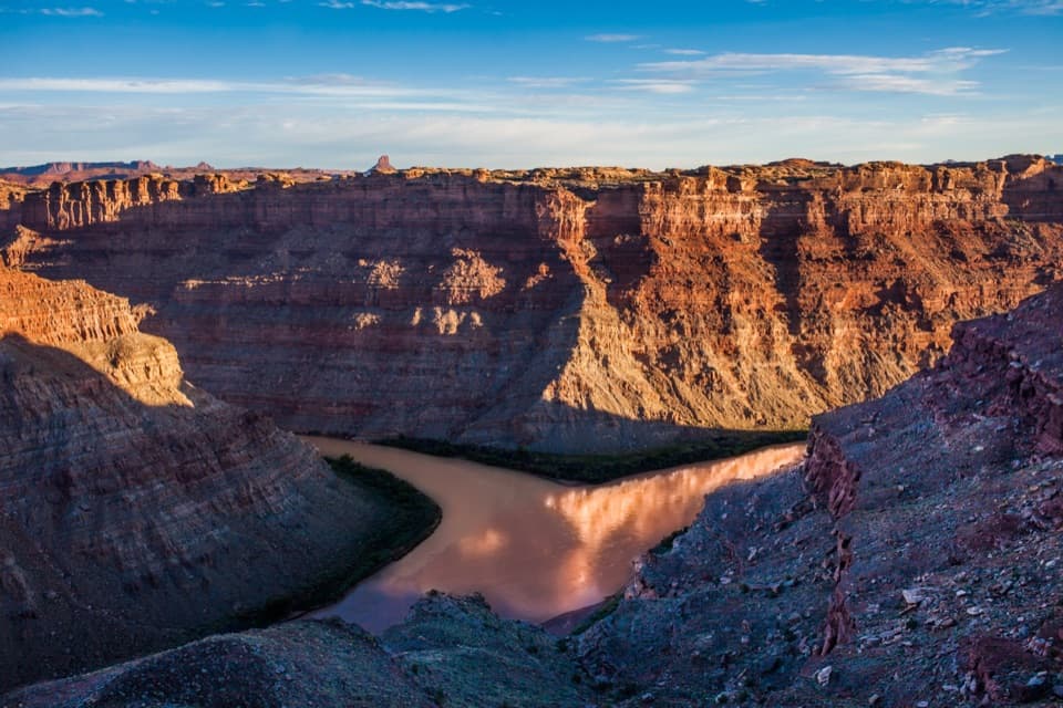
From the campground area, a steep climb reaches a saddle where the far walls of the Colorado gorge come into view. Slickrock ledges and a low ridge lead to a rock pile at the cliff edge. The Green and Colorado meet about 1,000 feet below; Cataract Canyon’s whitewater starts just downstream, and river runners often stop at the junction before continuing into the rapids.
Cyclone is a graben, a block of crust that dropped between faults. As cracks widened, erosion cut parallel canyon troughs beside the Colorado River. That explains the long, straight-sided folds you cross on the approach to the overlook.
The Colorado River below the junction was once called the Grand. In 1921, Colorado Representative Edward Taylor persuaded Congress to rename it the Colorado River, despite objections from Utah, Wyoming and the U.S. Geological Survey. From this overlook, the naming dispute is attached to the exact meeting point that joined the two river histories.
Wildlife
 48 sightingsBighorn SheepMost seen around 7 AMSighting map
 47 sightingsMule DeerMost seen around 7 AMSighting map
 12 sightingsCoyoteMost seen around 7 PMSighting map
 30 sightingsWestern RattlesnakeMost seen around 7 PMSighting map
 18 sightingsTurkey VultureMost seen around 11 AMSighting map
 18 sightingsWild TurkeyMost seen around 7 AMSighting map
Sighting maps show where each species has been reported across Canyonlands. Wildlife moves, so no sighting is guaranteed.
Keep exploring
 ModerateSlickrock Trail2.4 mi · 2 hr · 0.2 mi awayFour canyon overlooks on an open slickrock loop marked with cairns.
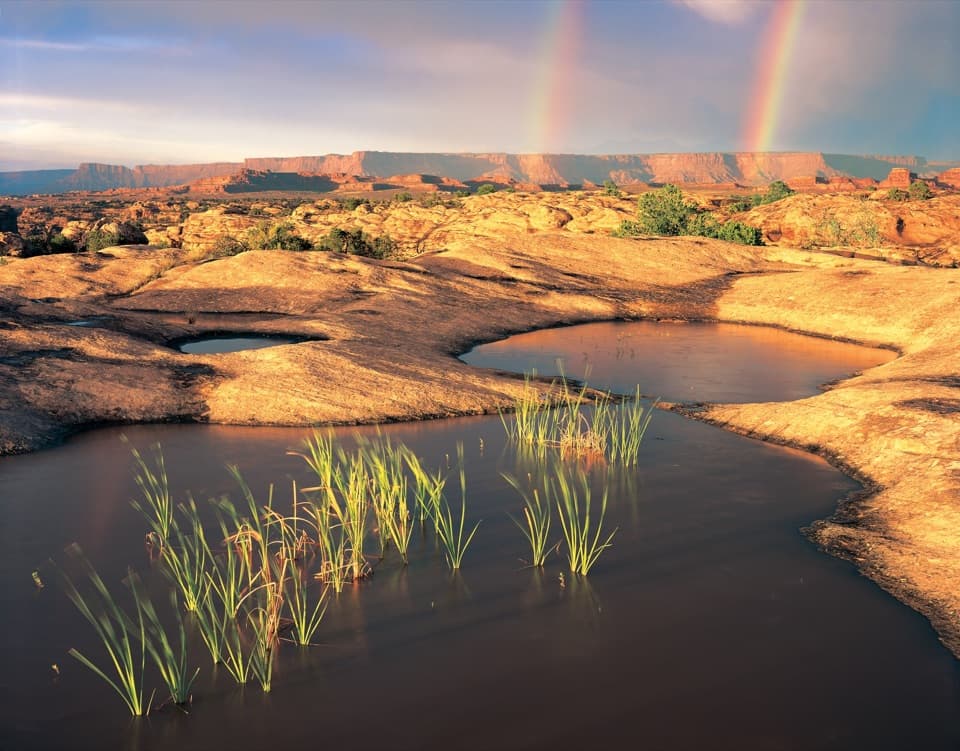 EasyPothole Point Trail0.6 mi · 45 min · 0.8 mi awayA short cairn-marked loop among rain-fed pothole gardens.
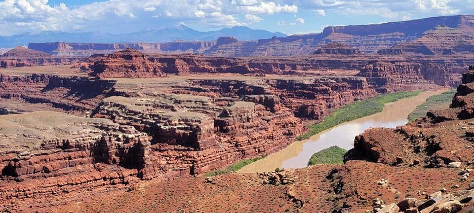 EasyColorado River Overlook Walk3 mi · 1.5 hr · 2.4 mi awayA rough-road walk ends at an unguarded view over the Colorado River.
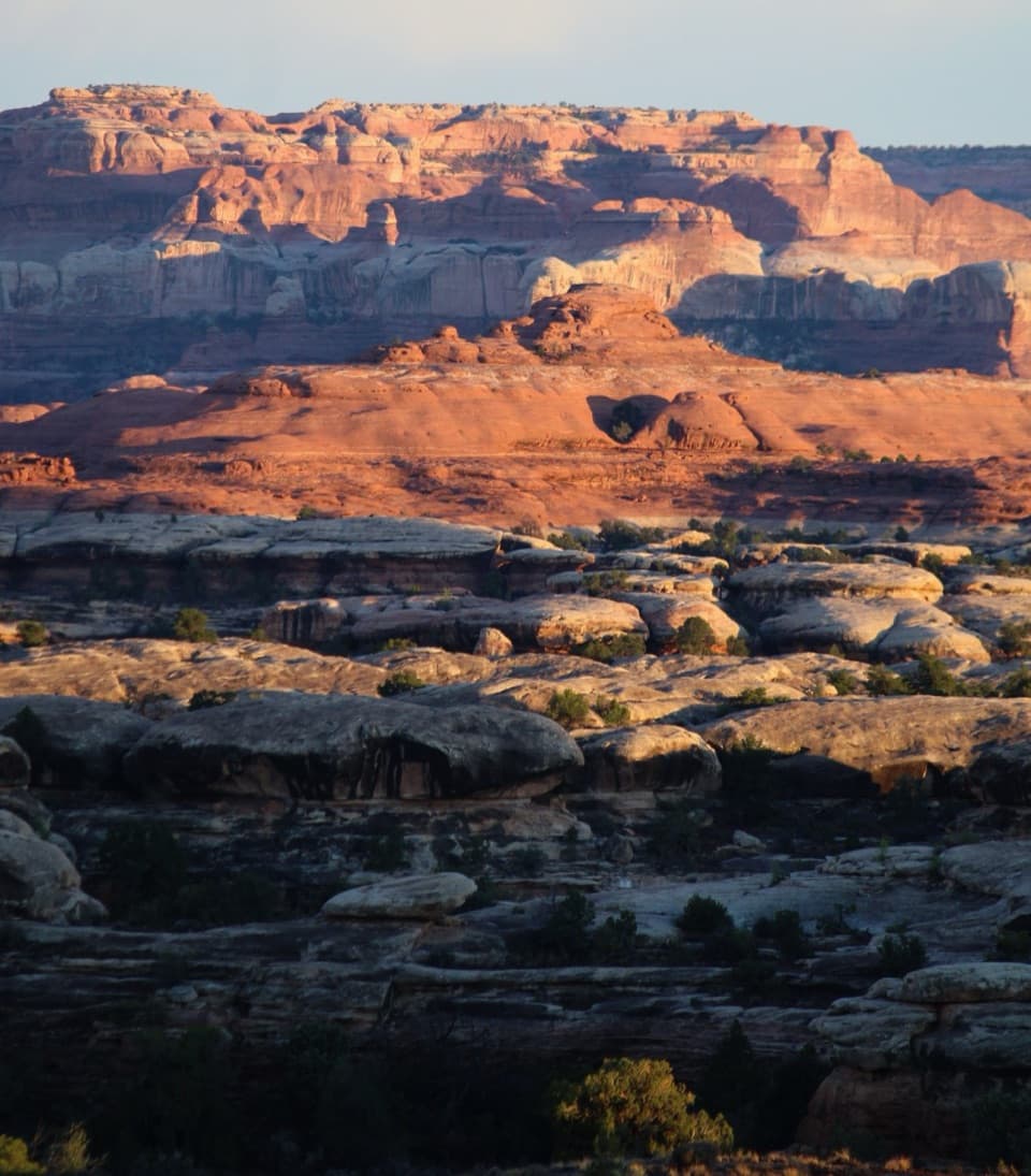 ChallengingWooden Shoe Canyon to Lost Canyon Loop Trail8.7 mi · 5.5 hr · 2.5 mi awayTwo canyon floors, slickrock climbs, and one ladder in a rugged loop.
 ChallengingPeekaboo Trail10.8 mi · 6 hr · 2.5 mi awayTwo ladders and high slickrock make this a serious Needles day hike.
 ModerateBig Spring to Wooden Shoe Canyon Loop Trail7.5 mi · 3.5 hr · 2.5 mi awayTwo canyons, one high saddle, and a rougher route between them.
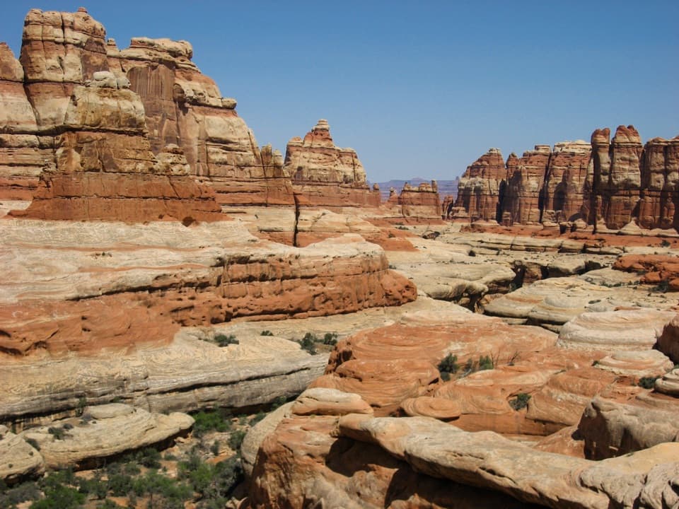 ChallengingBig Spring Canyon to Elephant Canyon Loop Trail10.5 mi · 5 hr · 2.5 mi awayTwo ladders cross a slickrock pass between Big Spring and Elephant.
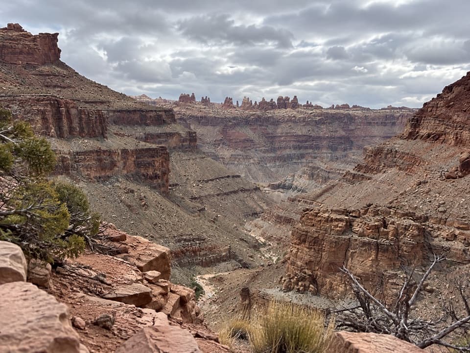 ChallengingLower Red Lake Canyon Trail18.8 mi · 14 hr · 2.6 mi awayA strenuous backcountry descent to the Colorado and back
 Sight · At the trailheadBig Spring Canyon OverlookSpires and sandstone benches line a bend in Big Spring Canyon.
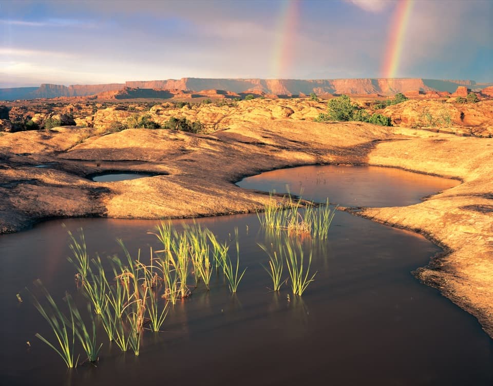 Sight · 0.7 mi awayPothole PointRain-fed pools bring a small world to life on bare sandstone.
 Picnic area · 1.1 mi awayNeedles Scenic Drive Picnic AreaA shaded stop where rain brings tiny desert creatures to life.
 Campground · 2.4 mi awayThe Needles CampgroundCamp among sandstone spires, with Needles hikes close at hand.
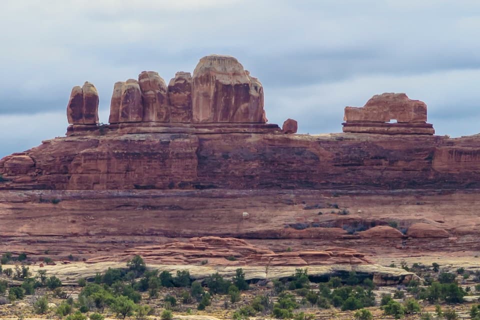 Sight · 2.7 mi awayWooden Shoe Arch OverlookA quick stop for one unmistakable shoe-shaped arch.
 Visitor center · 3.2 mi awayThe Needles Visitor CenterGet ranger advice before choosing a Needles hike or 4WD road.
 Sight · 3.3 mi awayStone StorehouseA quick loop to an ancient granary beneath a sandstone alcove.
 Sight · 3.5 mi awayConfluence OverlookAn 11-mile hike to where the Green and Colorado meet.
Parkwolf’s Canyonlands ranking
The audio tour guide for the drive, plus offline maps, trails, and wildlife heatmaps for when the signal drops.




