Parking
Use the Campground Loop A trailhead in The Needles Campground. Big Spring Canyon Overlook and Elephant Hill are separate access points, not the start of this loop.
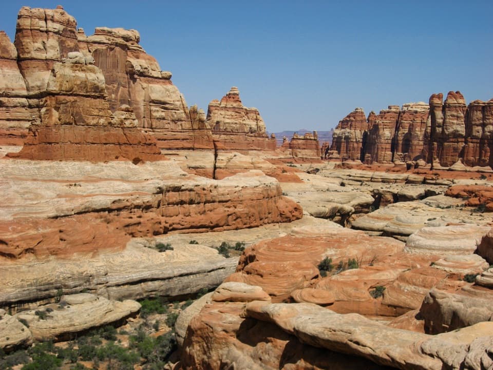
Canyonlands National Park, UT
Two ladders cross a slickrock pass between Big Spring and Elephant.
Overview
Map & elevation
Plan your hike

The highest, rockiest slopes around here are a summer buffet for grizzly bears.
Canyonlands Tour Guide
Parkwolf is a GPS audio tour guide for Canyonlands National Park. As you drive, it chimes in with what’s ahead: hidden gems, upcoming stops, history, geology, and wildlife, right through your car’s speakers.
See the Canyonlands audio tourRecorded for this trailhead
The Needles Campground“You're nearing The Needles Campground, a base for longer hikes among juniper, pinyon pine and red sandstone. Its twenty-six sites make most sense for settling in overnight, rather than a quick sightseeing stop.”
Plays as you drive up to this trailhead in the Parkwolf Canyonlands Tour Guide.
More stories near here in the app
“Fantastic app with many points of information… It’s great to just turn on while you’re driving and it gives you an audio tour of the national Park. We love it!!!!”


Trail guide
This 10.5-mile loop starts at Campground Loop A in The Needles and is listed at four to six hours. It links Big Spring Canyon, the slickrock benches between drainages, and Elephant Canyon before returning over a laddered pass. Expect a strenuous day: open mesa country gives way to sandy washes, steep rocky grades, and two ladders. The listed 443 feet is overall elevation change; the repeated climbing adds up to considerably more.
From Campground Loop A, follow the Big Spring side to the connector toward Chesler Park, then descend into Elephant Canyon. The route heads south along the sandy bottom before turning into a smaller side canyon. Climb to the ridge, cross the laddered pass, and follow the bench above Squaw Canyon toward Big Spring Canyon. The last stretch returns to the campground along the short shared approach. Cairns mark open slickrock sections, with signs at junctions; keep checking for the next cairn where a worn tread fades.
The walk alternates between broad slickrock benches and canyon bottoms. From the mesa tops, look out at sheer walls and banded sandstone towers; the sandstone forms change from broad shelves to narrow, shadowed cuts as the route drops. On an open bench, include a strip of foreground slickrock with a tower beyond it so the photo shows both the route's footing and the scale of the formations.
A shaded spring-fed pool is described after Big Spring Canyon, and water may sit in the streambed, but neither is dependable. Carry your full supply; the park recommends at least 1 liter per person per hour on this route. Bring snacks as well—there is no food stop on the trail.
The laddered pass and rough, uneven tread make this a poor fit for anyone uncomfortable with ladders; it is not wheelchair accessible. Snow or ice can occur in winter. Dogs are prohibited on the route, and an overnight backpacking trip requires a backcountry permit. If 10.5 miles is too much, the 7.5-mile Big Spring Canyon to Wooden Shoe Canyon loop also starts at Campground Loop A.
Wildlife
 48 sightingsBighorn SheepMost seen around 7 AMSighting map
 47 sightingsMule DeerMost seen around 7 AMSighting map
 12 sightingsCoyoteMost seen around 7 PMSighting map
 30 sightingsWestern RattlesnakeMost seen around 7 PMSighting map
 18 sightingsTurkey VultureMost seen around 11 AMSighting map
 18 sightingsWild TurkeyMost seen around 7 AMSighting map
Sighting maps show where each species has been reported across Canyonlands. Wildlife moves, so no sighting is guaranteed.
Keep exploring
 ModerateBig Spring to Wooden Shoe Canyon Loop Trail7.5 mi · 3.5 hr · At the trailheadTwo canyons, one high saddle, and a rougher route between them.
 ChallengingPeekaboo Trail10.8 mi · 6 hr · At the trailheadTwo ladders and high slickrock make this a serious Needles day hike.
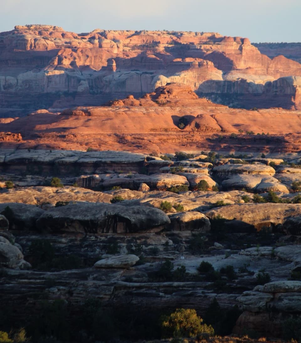 ChallengingWooden Shoe Canyon to Lost Canyon Loop Trail8.7 mi · 5.5 hr · At the trailheadTwo canyon floors, slickrock climbs, and one ladder in a rugged loop.
 ChallengingChesler Park Loop and Joint Trail10.7 mi · 6 hr · 1.3 mi awayA spire-ringed meadow and narrow rock passages reward a full-day loop.
 ChallengingDruid Arch Trail10.8 mi · 6 hr · 1.3 mi awayA long canyon hike to a giant sandstone arch.
 ChallengingChesler Park Viewpoint Trail5.8 mi · 3.5 hr · 1.3 mi awayA rocky climb to the pass above Chesler Park's grass and spires.
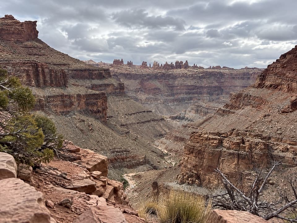 ChallengingLower Red Lake Canyon Trail18.8 mi · 14 hr · 1.3 mi awayA strenuous backcountry descent to the Colorado and back
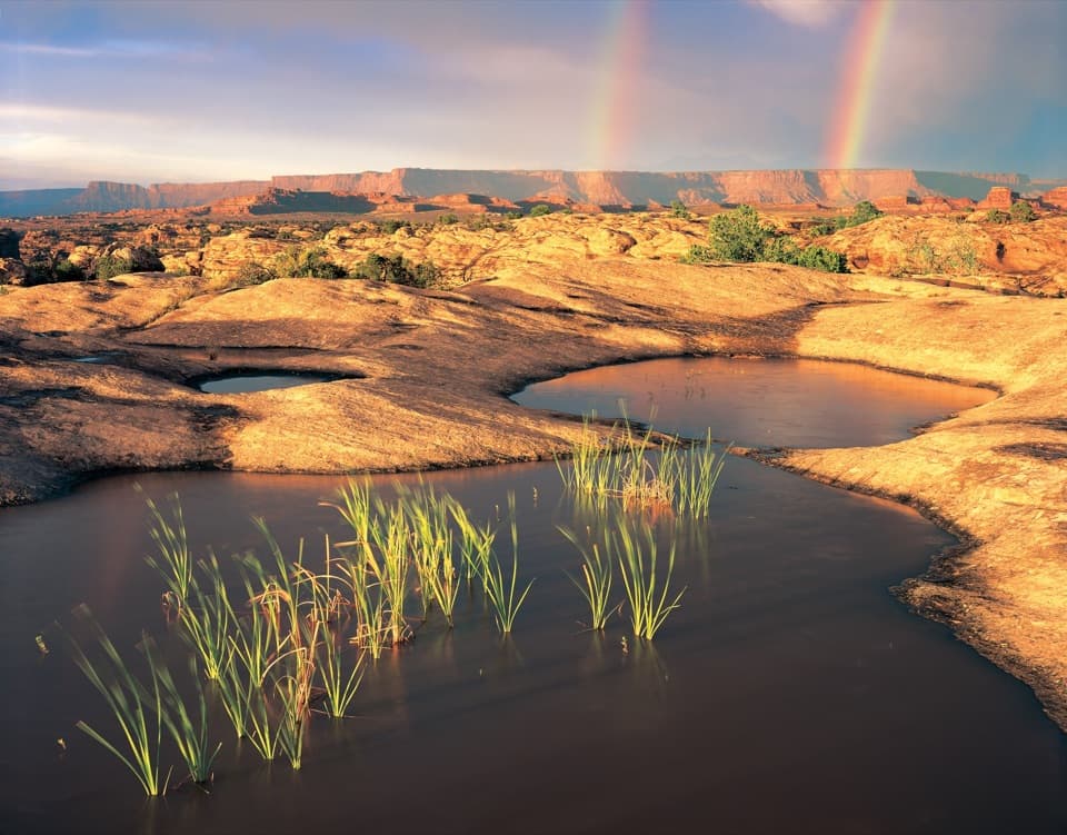 EasyPothole Point Trail0.6 mi · 45 min · 1.9 mi awayA short cairn-marked loop among rain-fed pothole gardens.
 Campground · 0.3 mi awayThe Needles CampgroundCamp among sandstone spires, with Needles hikes close at hand.
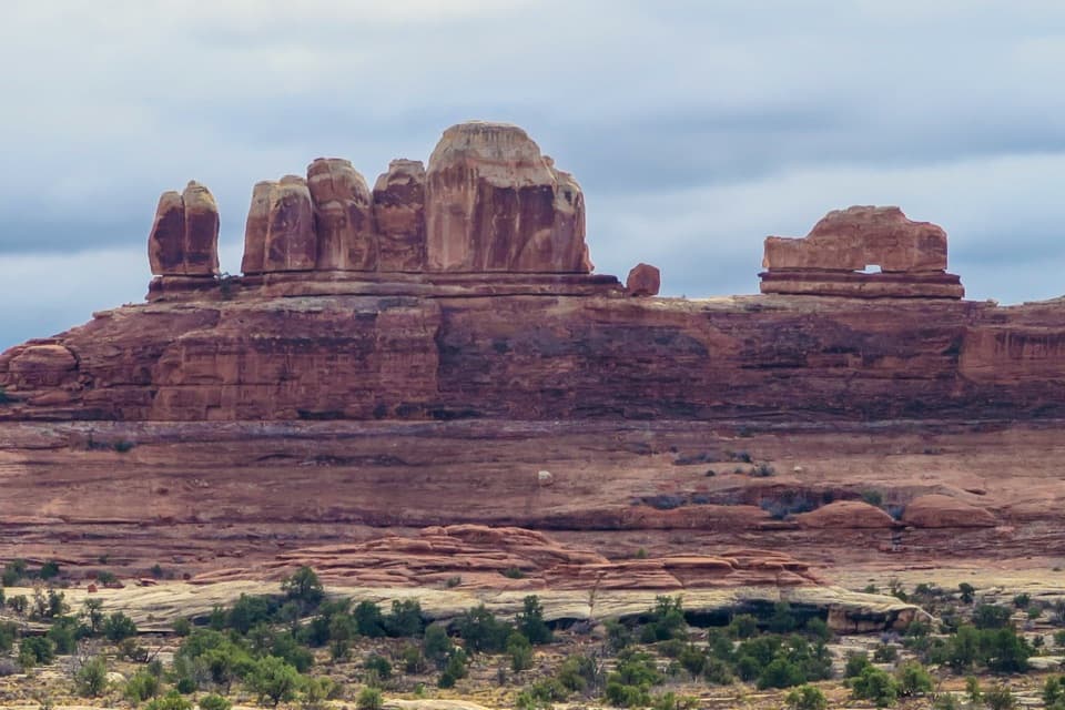 Sight · 1.3 mi awayWooden Shoe Arch OverlookA quick stop for one unmistakable shoe-shaped arch.
 Picnic area · 1.5 mi awayNeedles Scenic Drive Picnic AreaA shaded stop where rain brings tiny desert creatures to life.
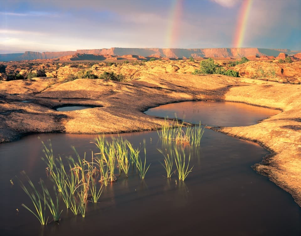 Sight · 2 mi awayPothole PointRain-fed pools bring a small world to life on bare sandstone.
 Sight · 2.5 mi awayBig Spring Canyon OverlookSpires and sandstone benches line a bend in Big Spring Canyon.
 Sight · 2.8 mi awayStone StorehouseA quick loop to an ancient granary beneath a sandstone alcove.
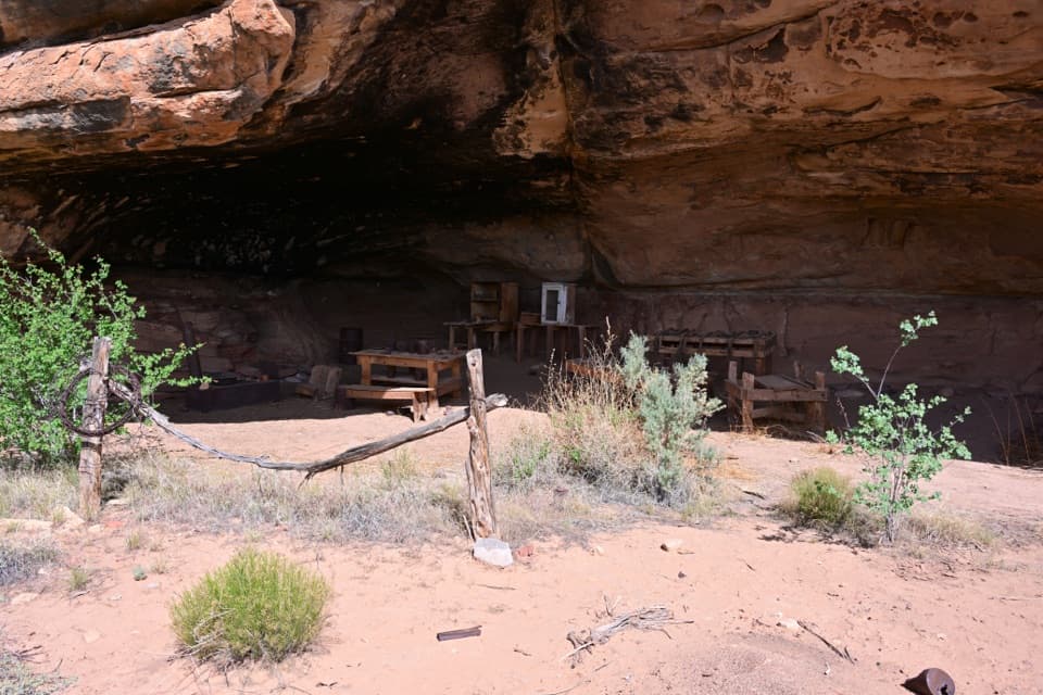 Sight · 2.9 mi awayCave Spring and Cowboy CampSpring, cowboy camp and rock art all fit in a 45-minute loop.
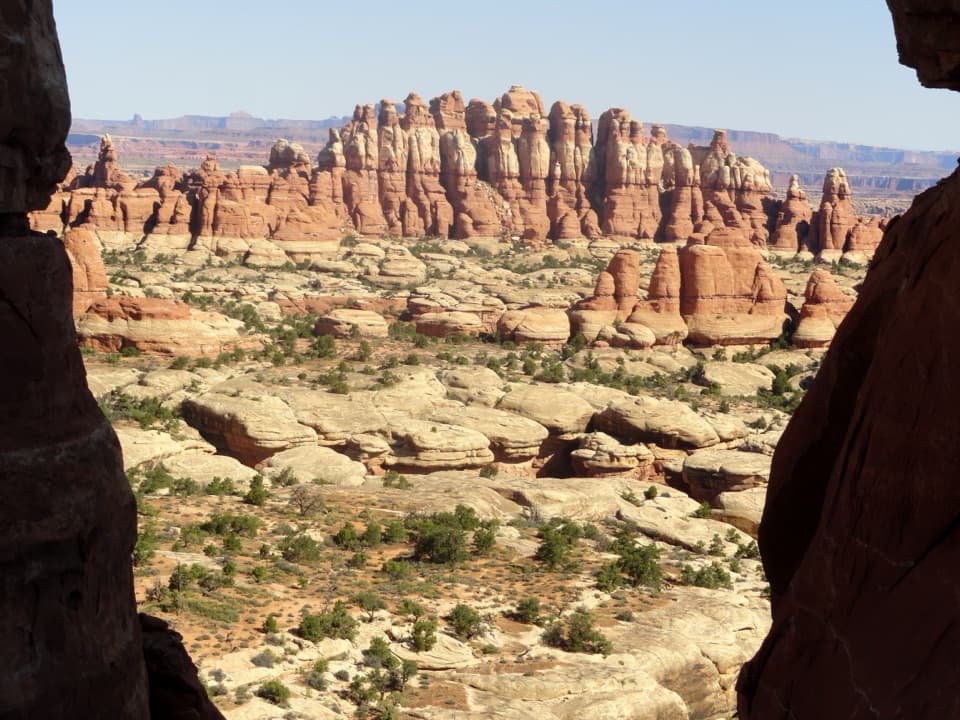 Sight · 3 mi awayChesler Park ViewpointA grassland basin ringed by stone needles, earned on a long hike.
Parkwolf’s Canyonlands ranking

The audio tour guide for the drive, plus offline maps, trails, and wildlife heatmaps for when the signal drops.


