Parking
Follow public Water Association Road to the small parking area near the North and West trail access. The unpaved road is bumpy but does not require four-wheel drive; it is the recommended approach for 2WD visitors. Parking is limited.
#8 of 11 trails in Cape Hatteras
Cape Hatteras National Seashore, NC
A steep climb through the barrier island’s dune-ridge forest.
Overview
Map & elevation
Plan your hike

The highest, rockiest slopes around here are a summer buffet for grizzly bears.
Cape Hatteras Tour Guide
Parkwolf is a GPS audio tour guide for Cape Hatteras National Seashore. As you drive, it chimes in with what’s ahead: hidden gems, upcoming stops, history, geology, and wildlife, right through your car’s speakers.
Recorded for this area
A Forest on Old Shorelines“Buxton Woods grows on old beach ridges. As Hatteras changed shape, former shorelines became sandy rises where pines and live oaks now stand.”
Plays on the road 0.6 mi from the trailhead in the Parkwolf Cape Hatteras Tour Guide.
More stories near here in the app
“Fantastic app with many points of information… It’s great to just turn on while you’re driving and it gives you an audio tour of the national Park. We love it!!!!”


Trail guide
North Trail is a 1.02-mile trail through the western part of Buxton Woods Reserve, from the Water Association Road access to the East Trail and Tunnel Road junction. This entry covers the 2.04-mile out-and-back: walk the named trail to the junction, then return the same way. Allow about 1¼ hours. Reserve guidance rates it moderate, but the first climb is steep and rugged, so it feels hillier than the distance suggests.
Some longer outings add connector paths and run roughly 2.5–4 miles, depending on the choices. That is a different, variable itinerary, not the length of North Trail itself. For a defined walk, turn around at the junction and retrace the mapped trail.
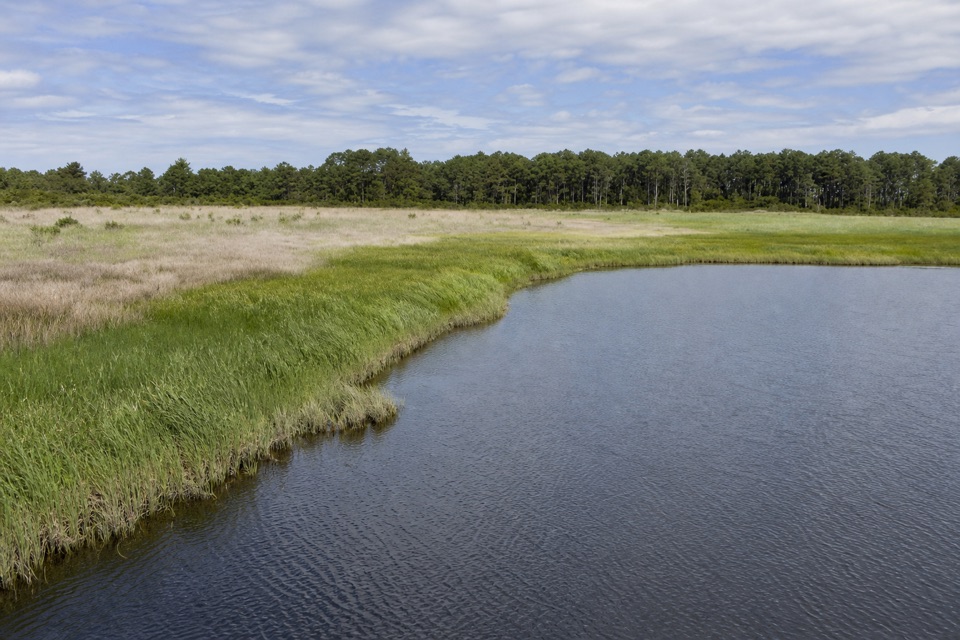
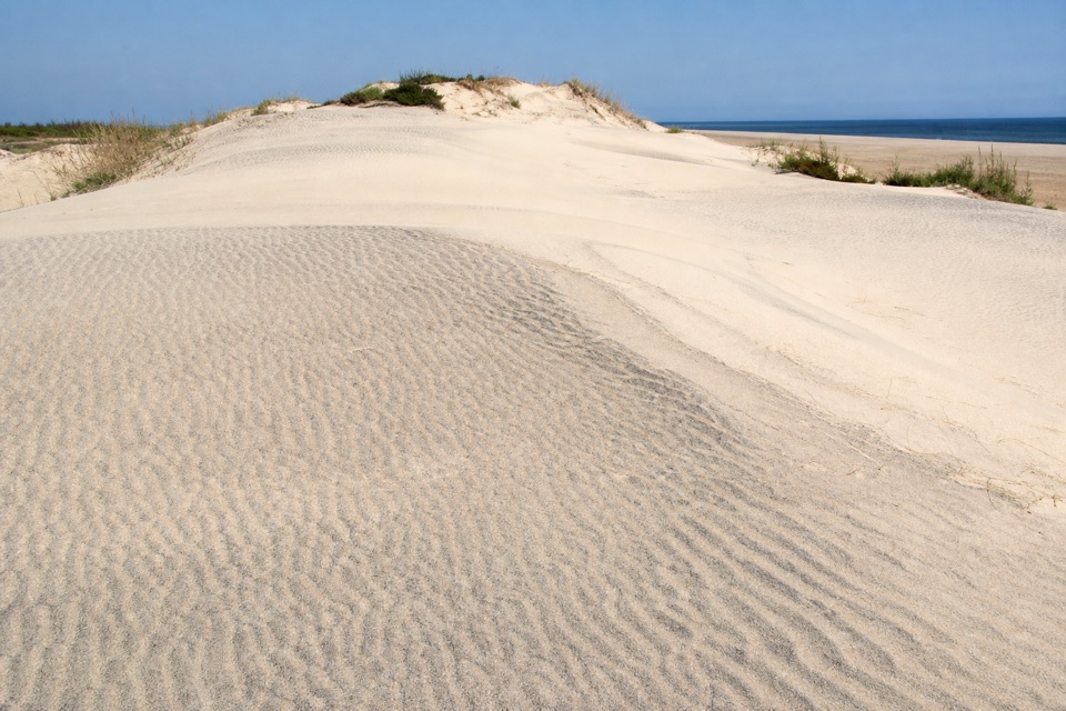
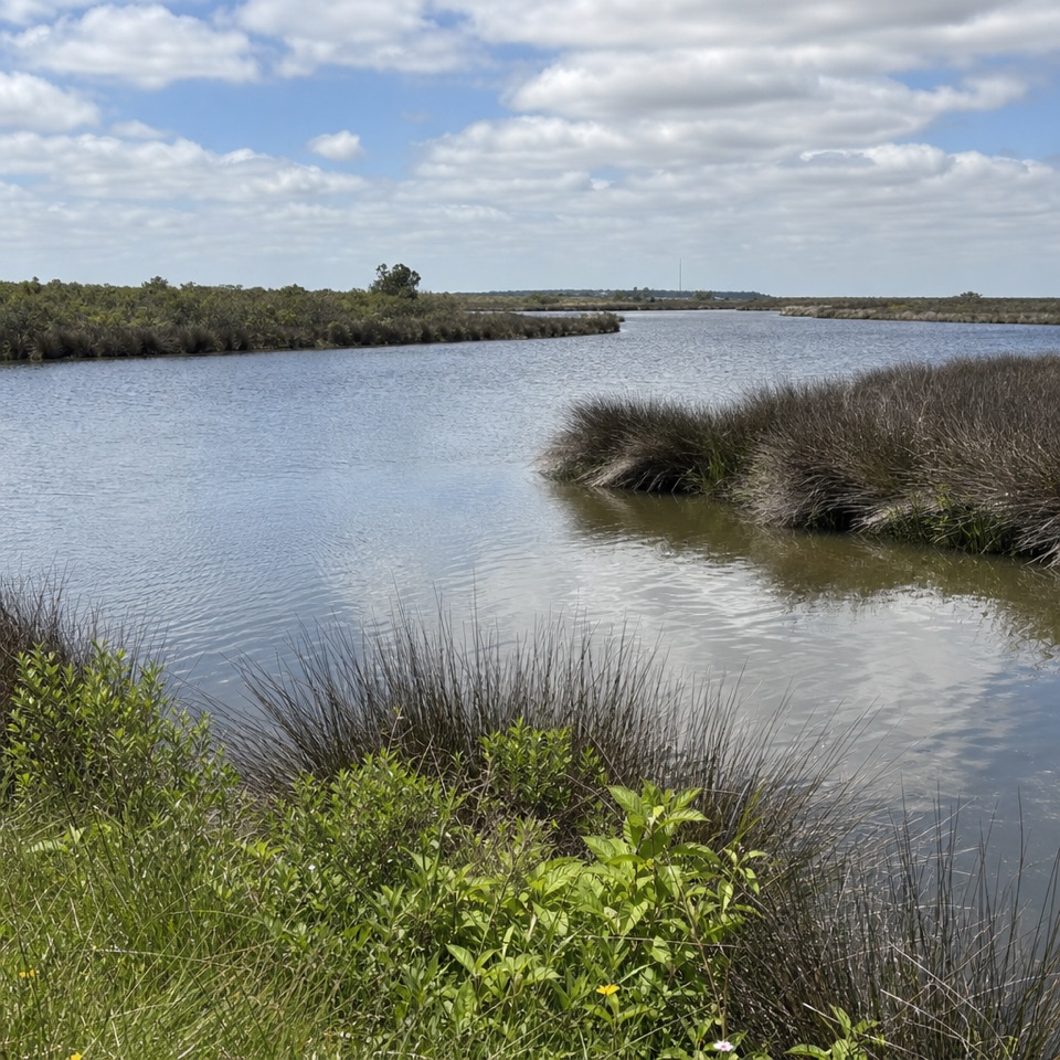
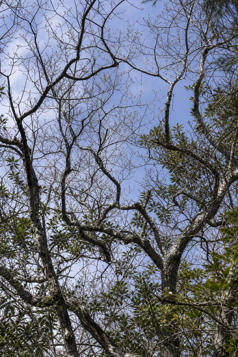
The route passes through maritime forest on old east-west dune ridges, separated by lower, wetter swales. North Trail climbs out from its access into this ridged terrain; expect a wooded, uneven walk rather than a beach stroll or summit hike. The ridges are the high ground here, and views open from them across the reserve. Buxton Woods also protects an important freshwater recharge area for Hatteras Island, one reason the forest is conserved.
Trails that cross the reserve’s sedges can be wet or inaccessible after heavy rain. That warning matters if you leave North Trail for a longer connector outing; it is not a reason to treat the mapped North Trail route as closed.
Follow public Water Association Road to the small parking area near the North and West trail access. The unpaved road is bumpy but does not require four-wheel drive; it is the recommended approach for 2WD visitors. Parking is limited, and there are no public restrooms or other facilities in the reserve.
Pets are allowed on leash; off-leash pets are prohibited. Hunting is allowed under state regulations, so use caution during hunting seasons.
Wildlife
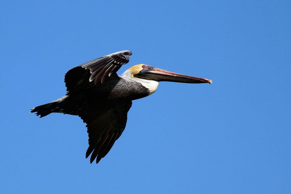 489 sightingsBrown PelicanMost seen around 8 AMSighting map
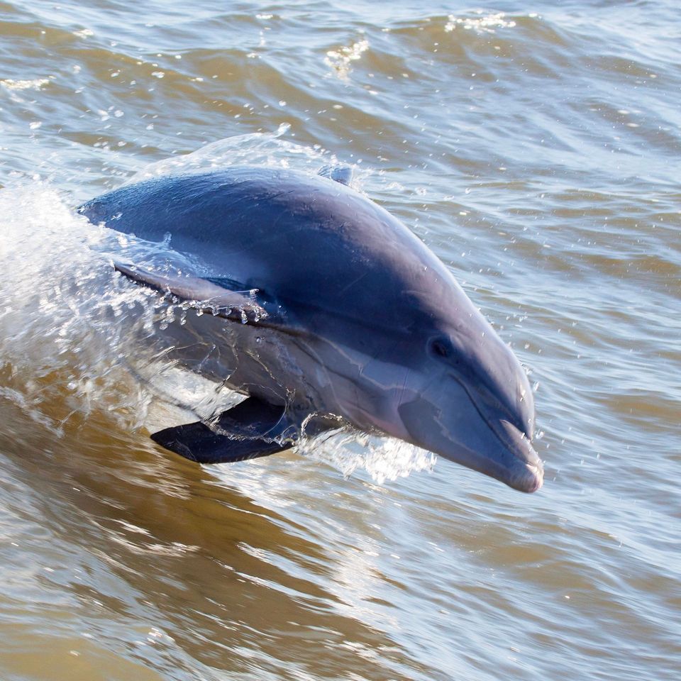 64 sightingsTamanend's Bottlenose DolphinMost seen around 7 AMSighting map
 35 sightingsBald EagleMost seen around 8 AMSighting map
 225 sightingsWhite-tailed DeerMost seen around 7 AMSighting map
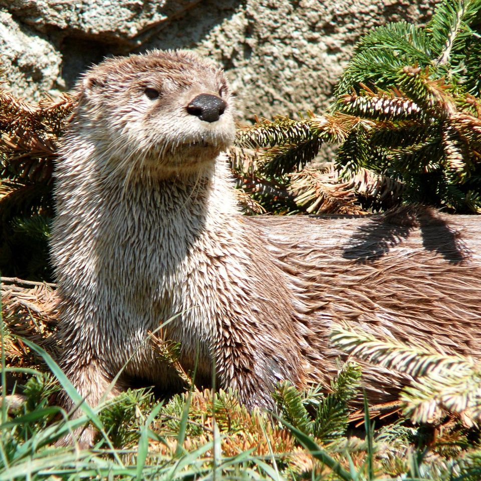 59 sightingsRiver OtterMost seen around 7 PMSighting map
 112 sightingsOspreyMost seen around 8 AMSighting map
Sighting maps show where each species has been reported across Cape Hatteras. Wildlife moves, so no sighting is guaranteed.
Keep exploring
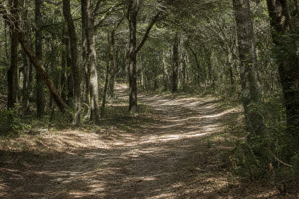 EasyLookout Loop Trail0.3 mi · 21 min · 1.4 mi awayA quick ridge-to-sedge walk across old coastal dunes.
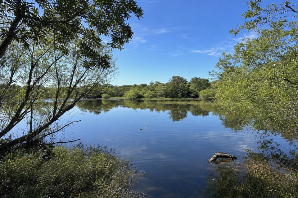 ModerateOpen Ponds Trail4.5 mi · 4 hr · 2.9 mi awayA one-way crossing through Hatteras dunes, ponds, and maritime woods.
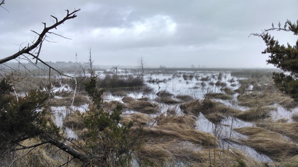 EasyLoran Road Trail0.5 mi · 15 min · 3 mi awayAn easy accessible walk along a former Coast Guard tower road.
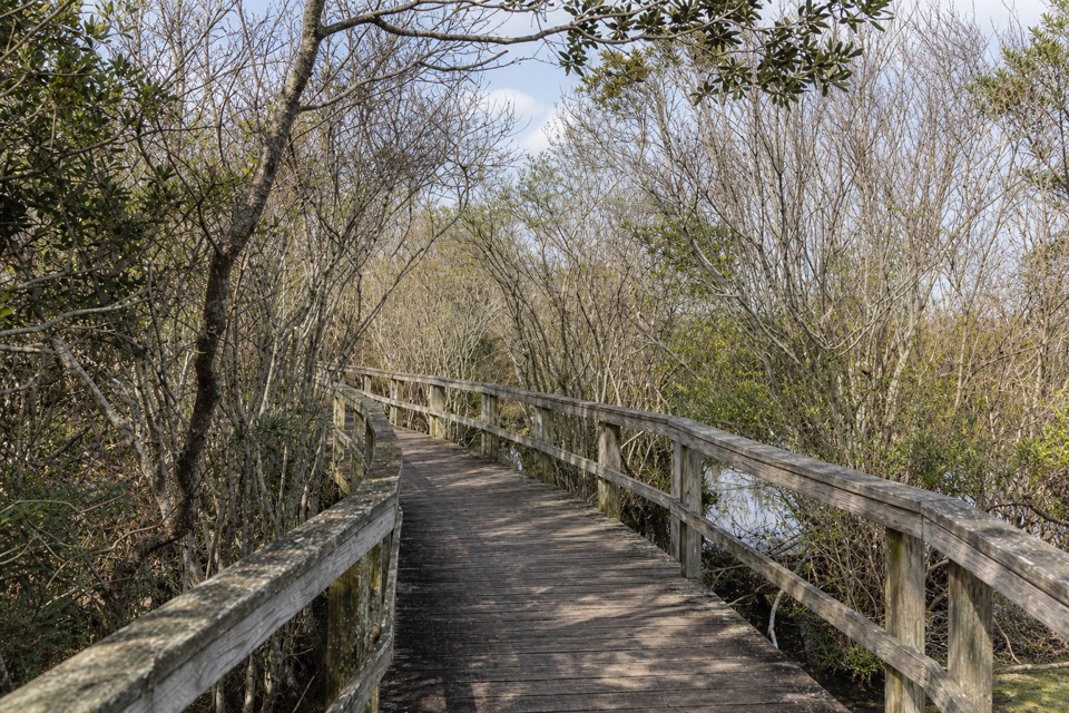 EasyBuxton Woods Trail0.8 mi · 45 min · 3.1 mi awayA marsh boardwalk and maritime forest in under an hour.
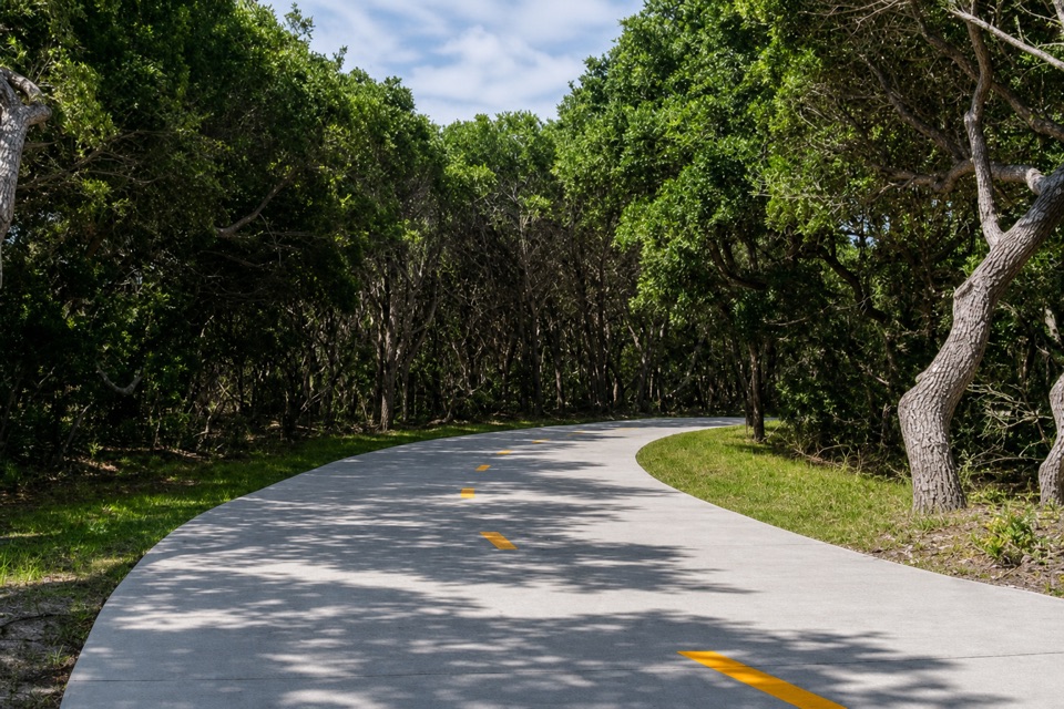 EasyThe Lighthouse Pathway1.5 mi · 36 min · 3.5 mi awayA broad paved link from Buxton to the lighthouse and beach.
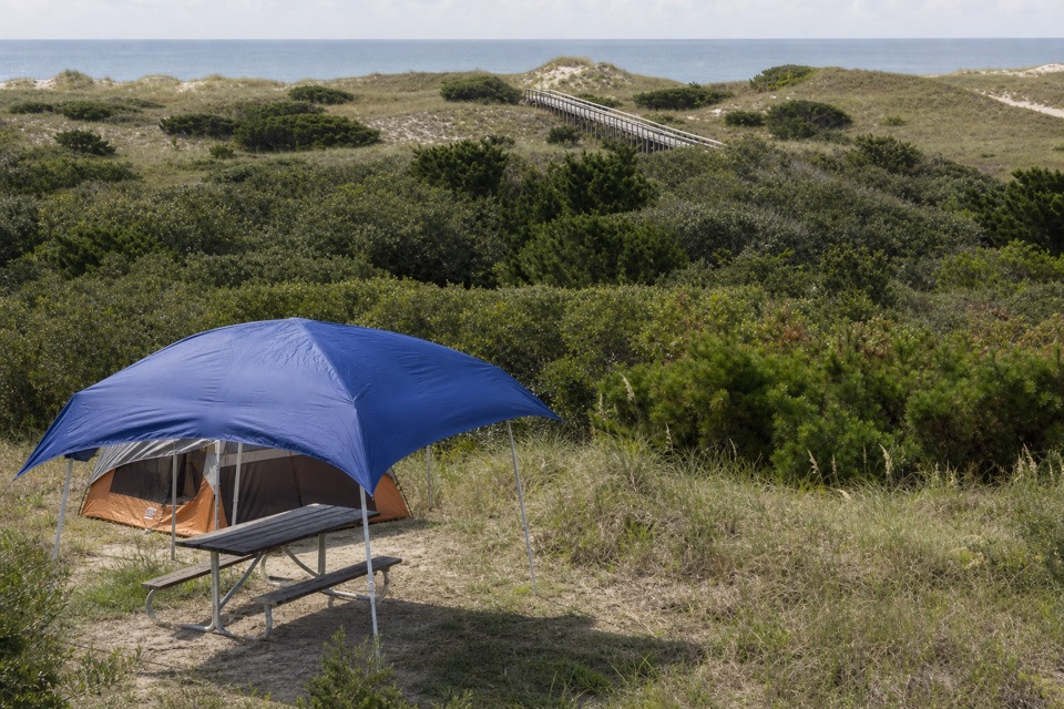 Campground · 1.4 mi awayFrisco CampgroundPitch your tent among dunes, then take the boardwalk to the beach.
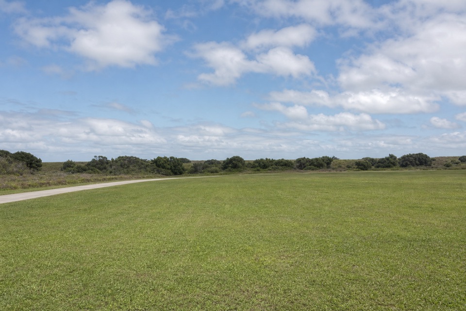 Campground · 2.7 mi awayCape Point CampgroundOpen camping, a dune walk from the Atlantic and Cape Point.
 Sight · 2.9 mi awayBuxton British CemeteryTwo sailors' graves give this short stop a World War II story.
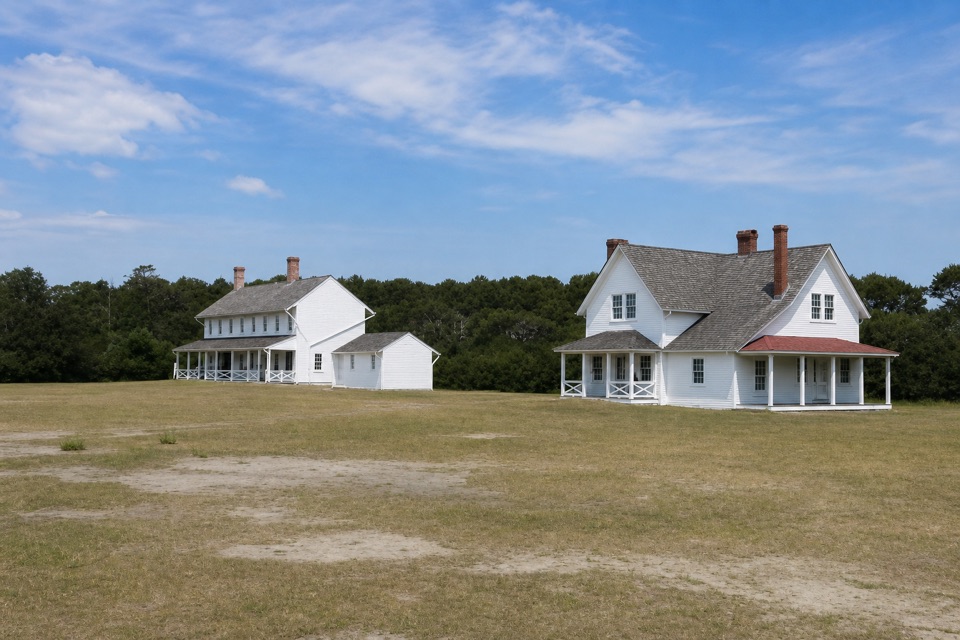 Sight · 3.1 mi awayMuseum of the SeaShipwreck and lifesaving stories inside a 1854 keeper house.
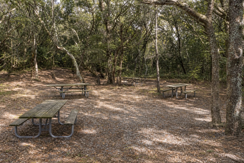 Picnic area · 3.1 mi awayBuxton Woods Picnic AreaA shady picnic stop with a lighthouse view and forest trail.
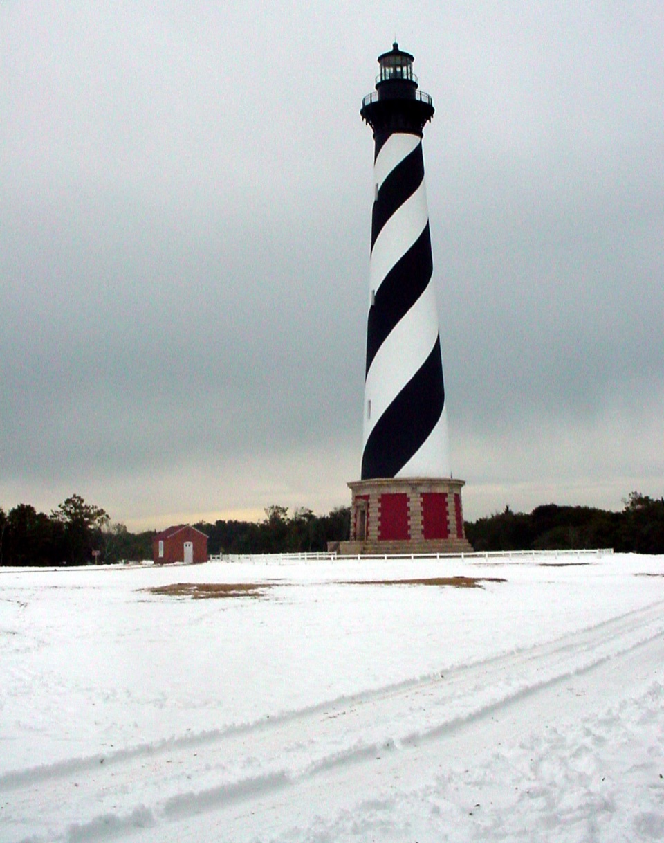 Sight · 3.1 mi awayCape Hatteras LighthouseA black-and-white beacon for the Graveyard of the Atlantic.
 Food · 3.3 mi awayOrange Blossom Bakery & CaféA big apple fritter with a story built into the dough.
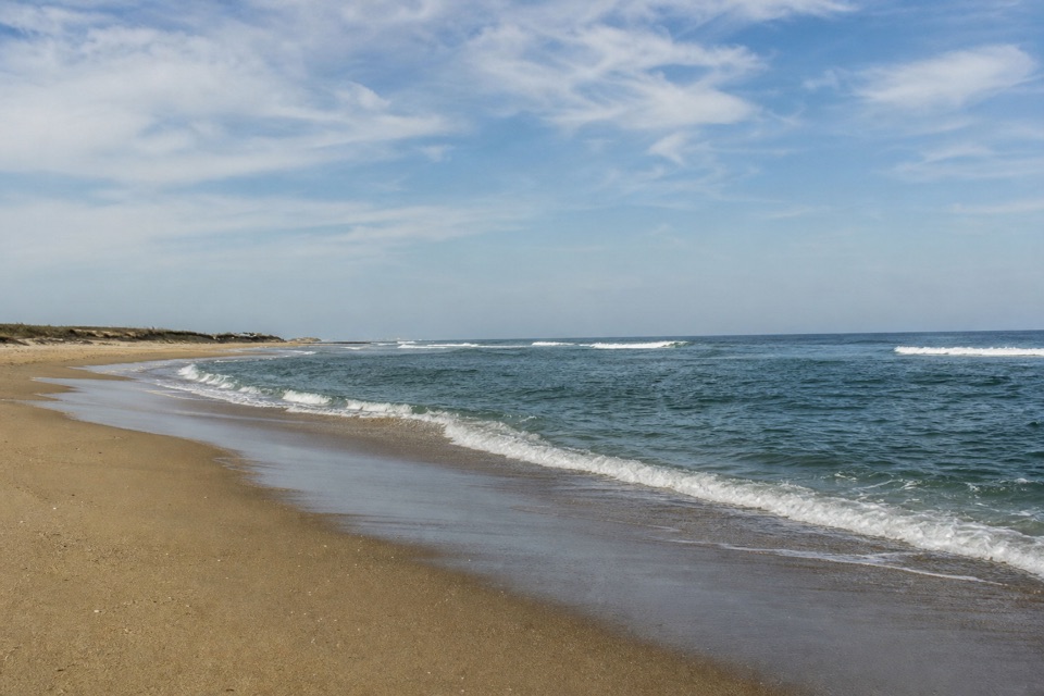 Beach · 3.6 mi awayOld Lighthouse BeachSurf, shells and a lighthouse story written into the sand.
Parkwolf’s Cape Hatteras ranking

The audio tour guide for the drive, plus offline maps, trails, and wildlife heatmaps for when the signal drops.