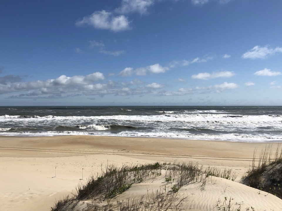
Old Lighthouse Beach in Cape Hatteras National Seashore

Beach · Cape Hatteras National Seashore

Old Lighthouse Beach

Surf, shells and a lighthouse story written into the sand.

Type
Beach
Nearest trail
0.4 mi
Audio stories
7 nearby

Hear the audio tour

Old Lighthouse Beach and the Former Tower Site

Overview

About Old Lighthouse Beach

Why stop

  • A granite marker ring makes the lighthouse’s former site tangible.

Map

Where it is

Loading the Cape Hatteras map
Full map
BeachOld Lighthouse Beach35.25388, -75.52138
Keep this map with you offline in the Parkwolf app

Plan your stop

Before you go

6 active Cape Hatteras alerts

  • ClosurePartial beach closures in front of Buxton VillageSections of beachfront in front of Buxton Village are temporarily closed. - The closure is due to threatened oceanfront structures and Dare County’s beach nourishment project.Official details
  • ClosurePartial beach closure in northern RodantheThe beach from the northern boundary of Rodanthe to the Rodanthe pier is closed to all access. - The closure is required because multiple threatened oceanfront structures pose risks to public safety.Official details
See all 6 alerts
A park ranger sits on a dash-mounted phone, talking, as Parkwolf’s Tour Guide plays “Army Cutworm Moths: A Grizzly Bear Buffet” on Grand Loop Road below Dunraven Pass in Yellowstone
Parkwolf Tour GuideThe highest, rockiest slopes around here are a summer buffet for grizzly bears.

Cape Hatteras Tour Guide

Your drive to Old Lighthouse Beach, narrated.

Parkwolf is a GPS audio tour guide for Cape Hatteras National Seashore. As you drive, it chimes in with what’s ahead: hidden gems, upcoming stops, history, geology, and wildlife, right through your car’s speakers.

Recorded for this place

Old Lighthouse Beach and the Former Tower Site
0:00 / 0:28
“Old Lighthouse Beach is coming up, a broad Atlantic shore with a trace of lighthouse history in the sand. A ring of granite stones marks where the tower once stood.”

Plays as you drive up to Old Lighthouse Beach in the Parkwolf Cape Hatteras Tour Guide.

More stories near here in the app

  • Cape Hatteras Lighthouse Grounds
  • Buxton British Cemetery and Open Ponds Trail
  • Orange Blossom Bakery and the Apple Ugly
  • Cape Point
  • 67 audio storiesacross Cape Hatteras’s roads, triggered by GPS as you drive
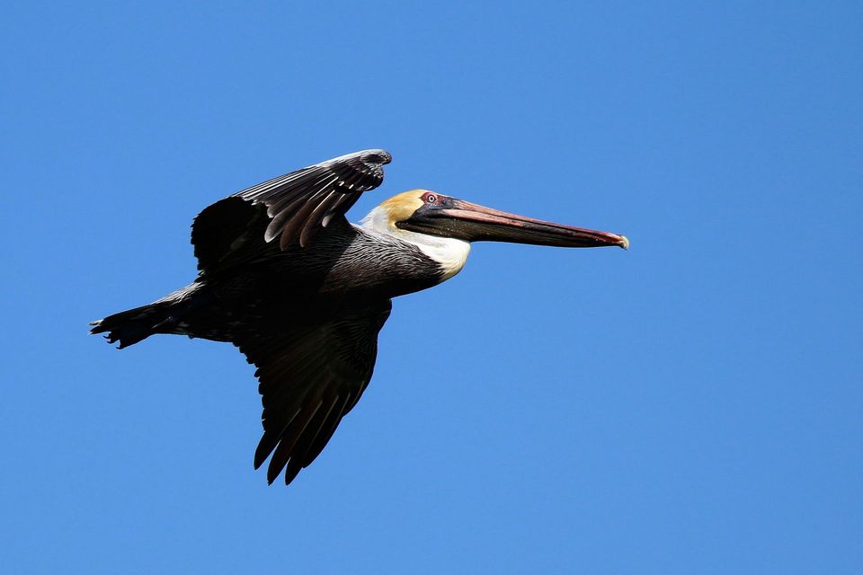
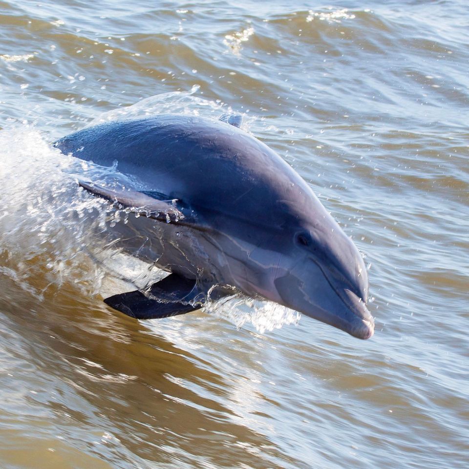
  • Wildlife heatmapsfor Brown Pelican, Tamanend's Bottlenose Dolphin, Bald Eagle, and 13 more
  • Works offlinemaps, 11 trails, 35 places, and audio download before you lose signal
  • CarPlay readysimple controls built for the drive
★★★★★
“Fantastic app with many points of information… It’s great to just turn on while you’re driving and it gives you an audio tour of the national Park. We love it!!!!”
JMJamesApp Store review
Download Parkwolf on the App StoreGet Parkwolf on Google Play

4.7 from 8,600+ ratings

Guide

More about Old Lighthouse Beach

A beach with a second storyOld Lighthouse Beach is a broad, Atlantic-facing stretch of sand in Buxton, where Cape Hatteras…

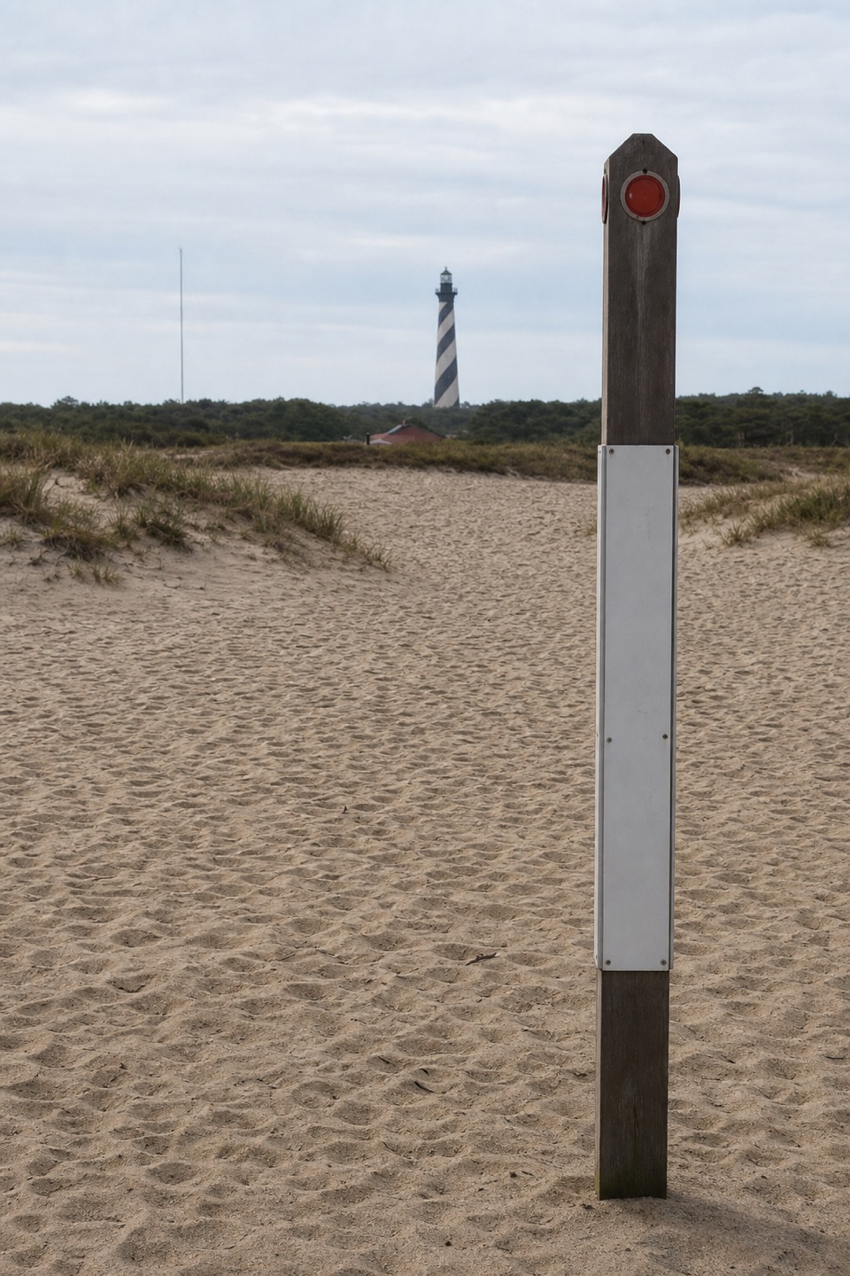
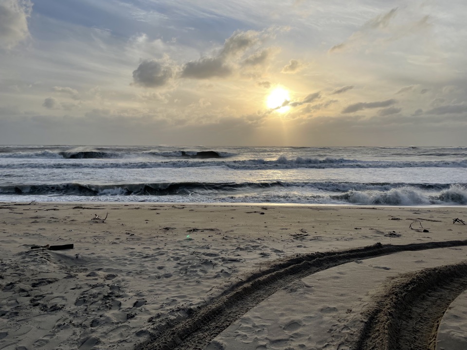
Old Lighthouse Beach is a broad, Atlantic-facing stretch of sand in Buxton, where Cape Hatteras Lighthouse once stood. Come for an open shoreline, the trace of that earlier station and a relaxed surf or beachcombing stop. This is a low, flat beach rather than a high overlook: the pleasure is in the wide waterline, the waves and the sense of how the coast has shifted.

Find the old lighthouse lineA ring of granite stones marks the lighthouse’s original base.

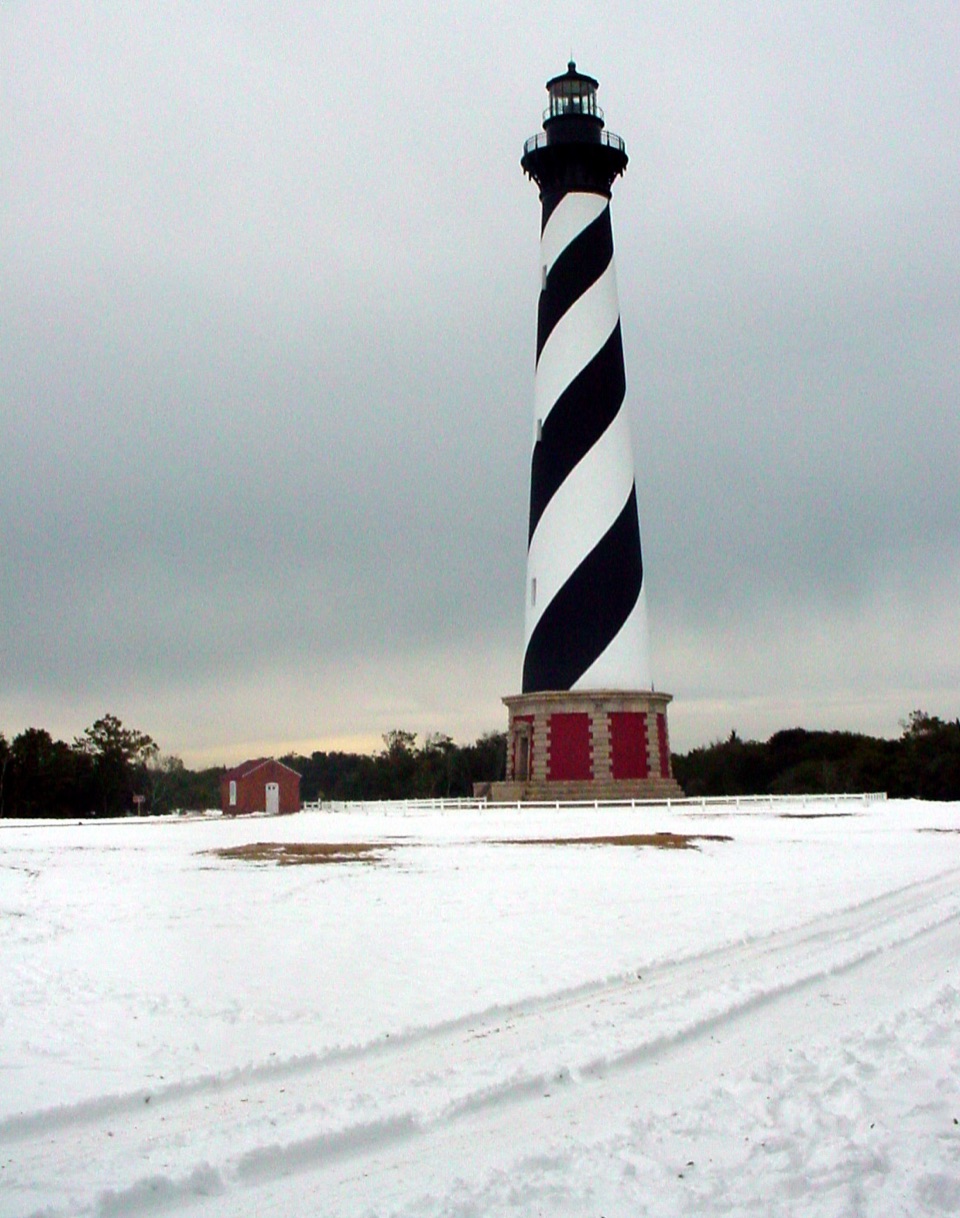
A ring of granite stones marks the lighthouse’s original base. The light was moved inland 2,900 feet in 1999 after erosion threatened the historic station, and the marker gives that story a scale you can stand beside. What was once close to the surf is now a quiet outline on the sand; take a moment to look between the stone ring and the ocean.

The beach is also known among surfers, and the broad shallows invite beachcombing. Large clam shells, scallops and occasional whelks turn up here; the smaller auger and olive shells take more searching. For a photo, get low with wet sand in the foreground and let the foamy edge lead down the shoreline. It shows the beach’s long, level sweep better than a horizon-only shot.

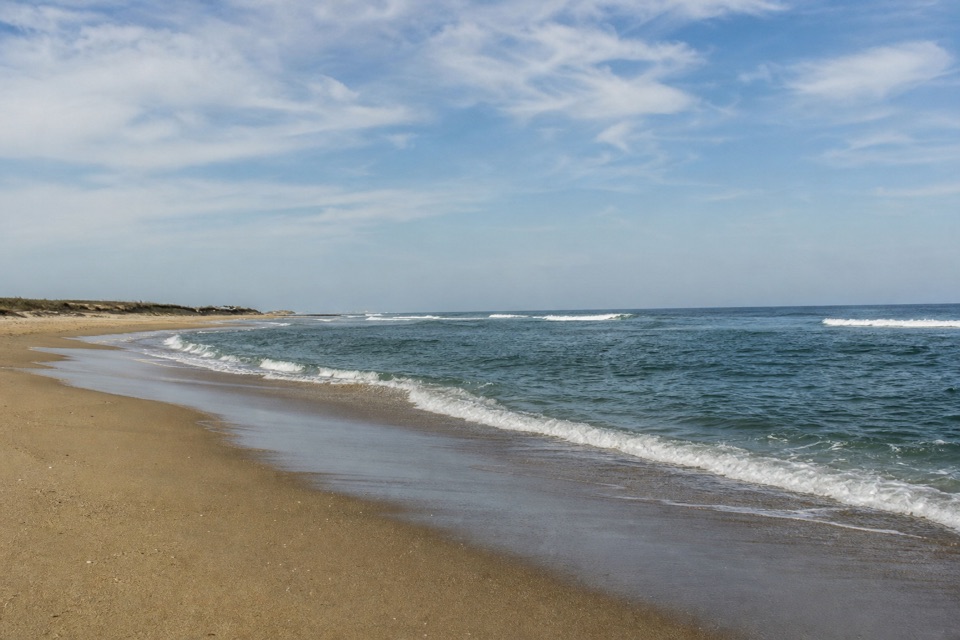
Make the approach workThe beach lies at the south end of Old Lighthouse Road in Buxton.

The beach lies at the south end of Old Lighthouse Road in Buxton. The route to the water is level and avoids a dune climb, so this can be a quick salt-air stop or a longer walk along the sand. Bring water and sun protection for an exposed oceanfront outing. The access area has included auto/RV parking and a vault or composting toilet, but confirm those are available before counting on them; the beach approach and nearby structures can change after storms. Check for an open route before you go.

Wildlife

Wildlife in Cape Hatteras

All Cape Hatteras wildlife maps

Sighting maps show where each species has been reported across Cape Hatteras. Wildlife moves, so no sighting is guaranteed.

Keep exploring

Near Old Lighthouse Beach

See it all on the map

Trails nearby

More stops nearby

Parkwolf’s Cape Hatteras ranking

Top sights in Cape Hatteras

All 35 places
  1. 1Cape Hatteras LighthouseSight
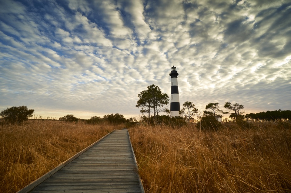
  2. 2Bodie Island LighthouseSight
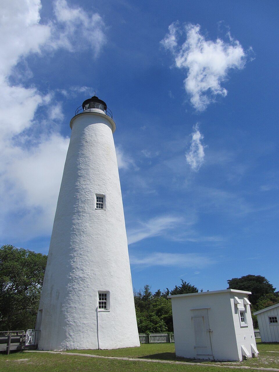
  3. 3Ocracoke LighthouseSight
  4. 4Cape PointBeach
  5. 5Coquina BeachBeach
  6. 6Bonner Bridge PierSight

Take Parkwolf to Cape Hatteras.

The audio tour guide for the drive, plus offline maps, trails, and wildlife heatmaps for when the signal drops.

4.7 from 8,600+ ratings

Download Parkwolf on the App StoreGet Parkwolf on Google Play