Parking
At the trail entrance on Lighthouse Road, between Hatteras Island Ranger Station and Cape Point Campground; one marked accessible space and possible room for two more vehicles.
Cape Hatteras National Seashore, NC
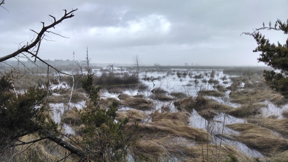
An easy accessible walk along a former Coast Guard tower road.
Overview
Map & elevation
Plan your hike

The highest, rockiest slopes around here are a summer buffet for grizzly bears.
Cape Hatteras Tour Guide
Parkwolf is a GPS audio tour guide for Cape Hatteras National Seashore. As you drive, it chimes in with what’s ahead: hidden gems, upcoming stops, history, geology, and wildlife, right through your car’s speakers.
Recorded for this area
Buxton British Cemetery and Open Ponds Trail“You're approaching Buxton British Cemetery and the eastern end of Open Ponds Trail. The tiny, fenced cemetery holds two sailors lost during the 1942 U-boat attacks off Hatteras.”
Plays on the road 0.4 mi from the trailhead in the Parkwolf Cape Hatteras Tour Guide.
More stories near here in the app
“Fantastic app with many points of information… It’s great to just turn on while you’re driving and it gives you an audio tour of the national Park. We love it!!!!”


Trail guide
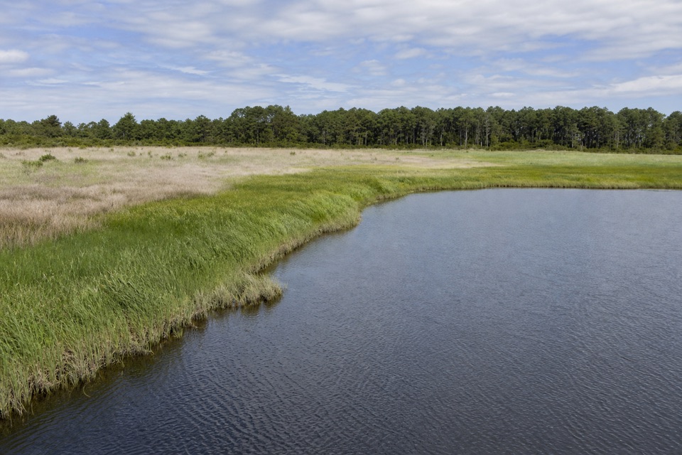
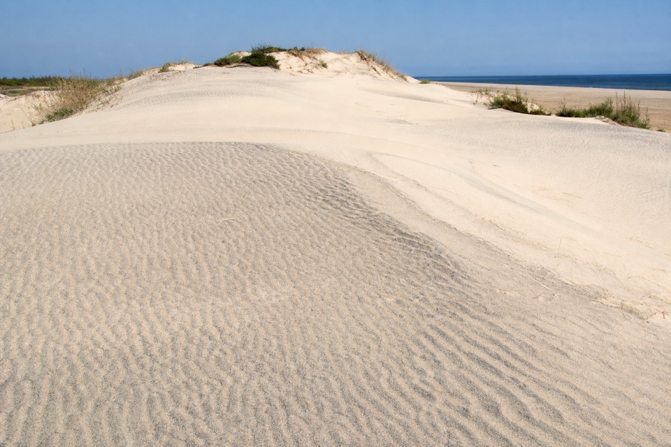
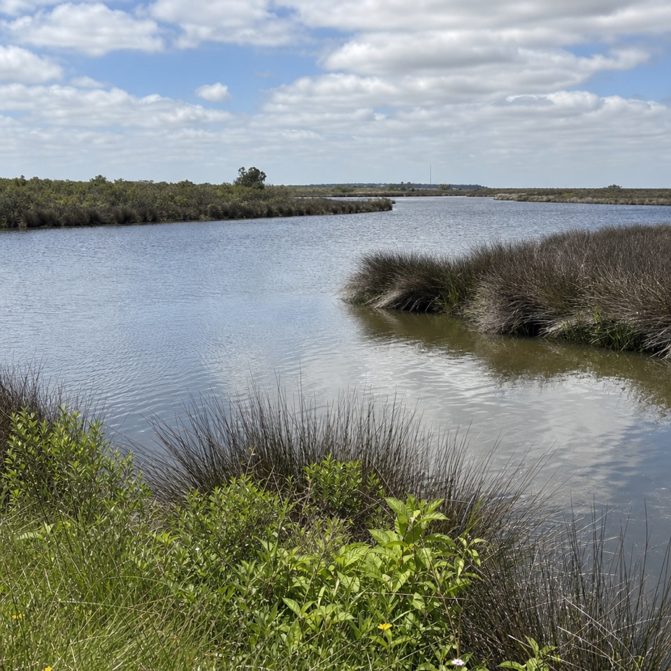
Loran Road Trail is a 0.5-mile out-and-back on Hatteras Island, following an accessible asphalt road to a sandy path that leads to the beach. Allow about 15 minutes for the road walk; you can add the beach if you want more time by the water. It suits a quick stop or anyone who wants an easy approach to this stretch of shore.
The asphalt follows an old access road to a LORAN (Long-Range Aid to Navigation) tower. The U.S. Coast Guard operated the tower from 1949 to 1981, helping ships equipped with the system navigate. The named trail ends where the sandy beach-access path begins, so the measured half-mile covers the firm road, not a walk along the beach. The route is nearly level; the change underfoot comes only if you continue onto the sand.
Start on Lighthouse Road between Hatteras Island Ranger Station and Cape Point Campground. Parking is very limited: one marked accessible space and room for about two additional vehicles at the trail entrance. Dogs are allowed on a leash no longer than six feet. The accessible surface applies to the road; the beach path beyond it is sandy and is not part of the measured trail.
Wildlife
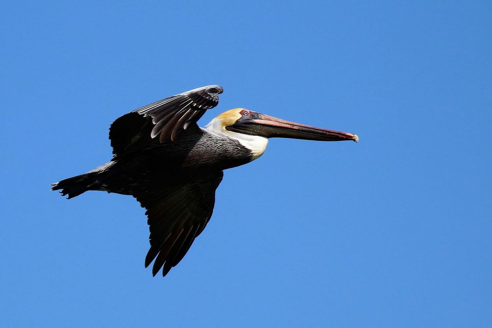 489 sightingsBrown PelicanMost seen around 8 AMSighting map
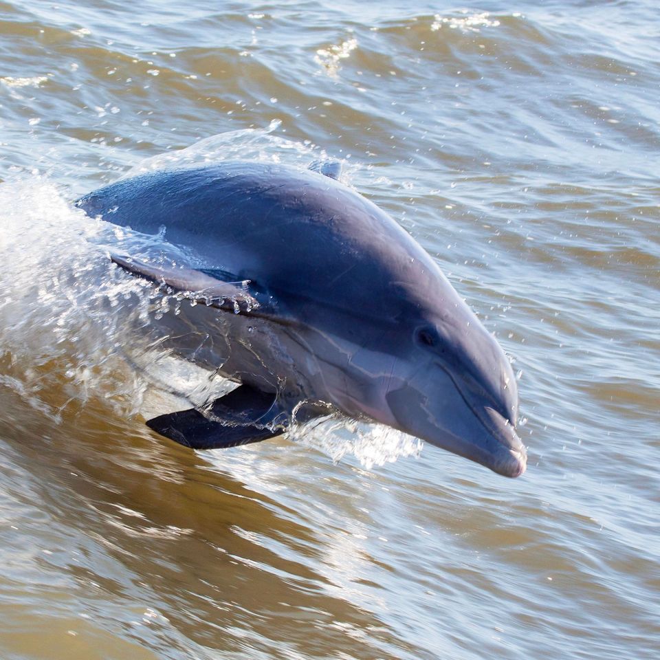 64 sightingsTamanend's Bottlenose DolphinMost seen around 7 AMSighting map
 35 sightingsBald EagleMost seen around 8 AMSighting map
 225 sightingsWhite-tailed DeerMost seen around 7 AMSighting map
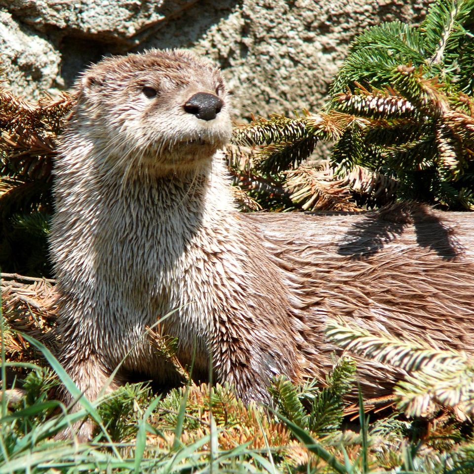 59 sightingsRiver OtterMost seen around 7 PMSighting map
 112 sightingsOspreyMost seen around 8 AMSighting map
Sighting maps show where each species has been reported across Cape Hatteras. Wildlife moves, so no sighting is guaranteed.
Keep exploring
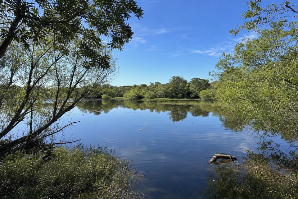 ModerateOpen Ponds Trail4.5 mi · 4 hr · 0.4 mi awayA one-way crossing through Hatteras dunes, ponds, and maritime woods.
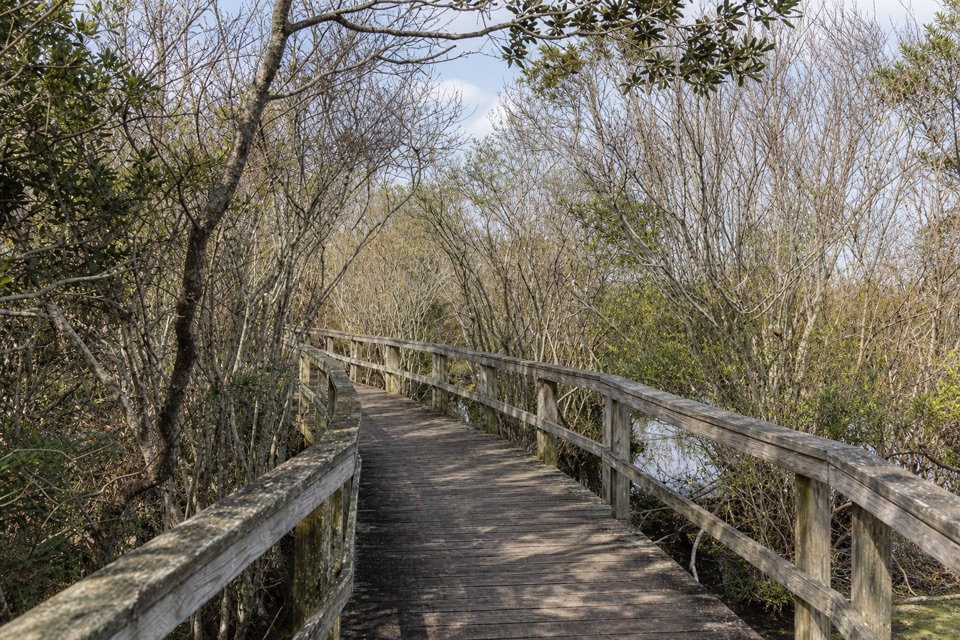 EasyBuxton Woods Trail0.8 mi · 45 min · 0.7 mi awayA marsh boardwalk and maritime forest in under an hour.
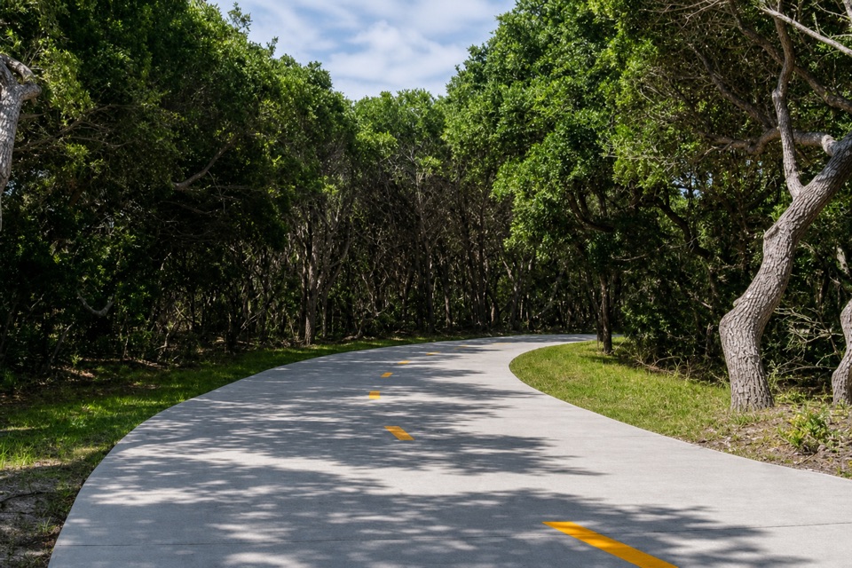 EasyThe Lighthouse Pathway1.5 mi · 36 min · 1.6 mi awayA broad paved link from Buxton to the lighthouse and beach.
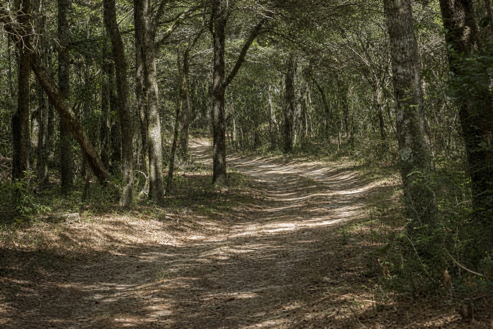 EasyLookout Loop Trail0.3 mi · 21 min · 1.8 mi awayA quick ridge-to-sedge walk across old coastal dunes.
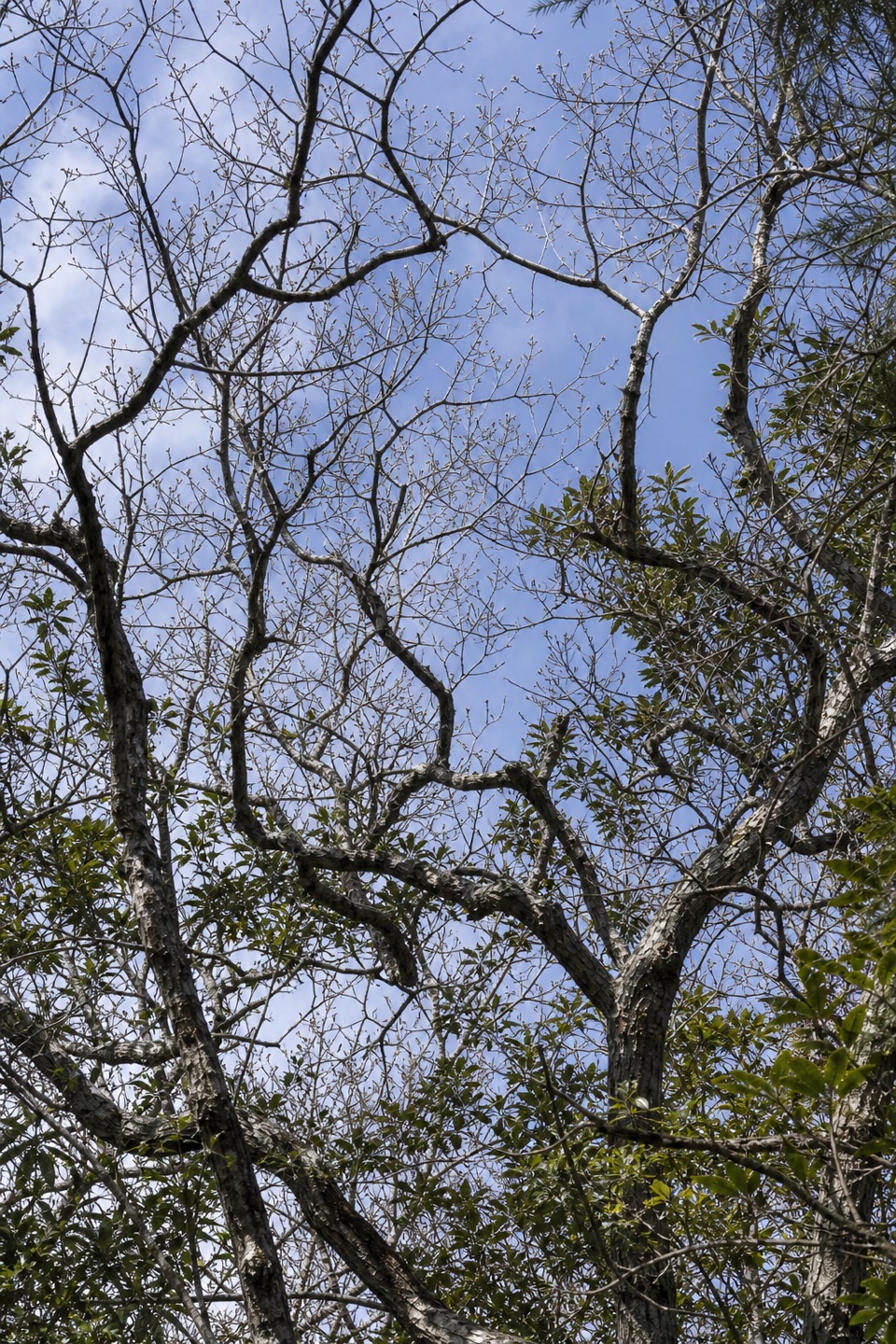 ModerateNorth Trail (Buxton Woods Reserve)2 mi · 1.3 hr · 3 mi awayA steep climb through the barrier island’s dune-ridge forest.
 Sight · 0.4 mi awayBuxton British CemeteryTwo sailors' graves give this short stop a World War II story.
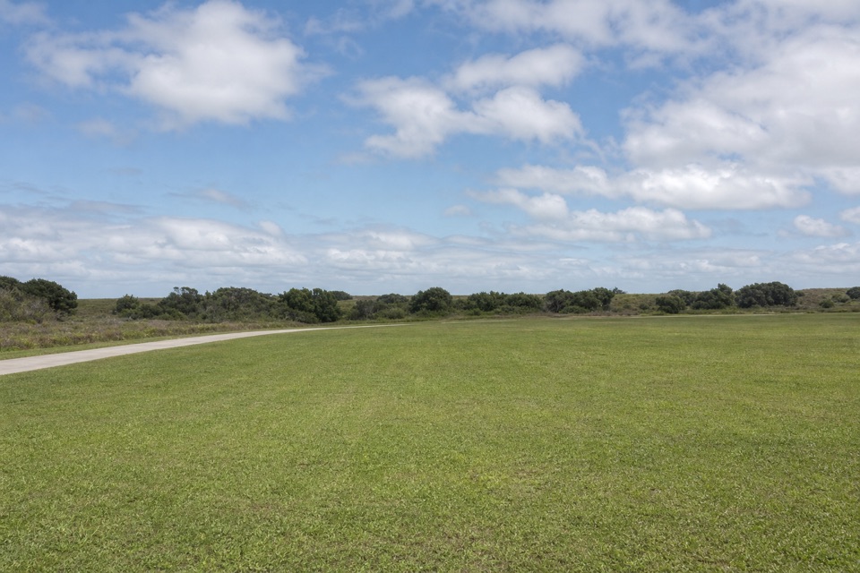 Campground · 0.6 mi awayCape Point CampgroundOpen camping, a dune walk from the Atlantic and Cape Point.
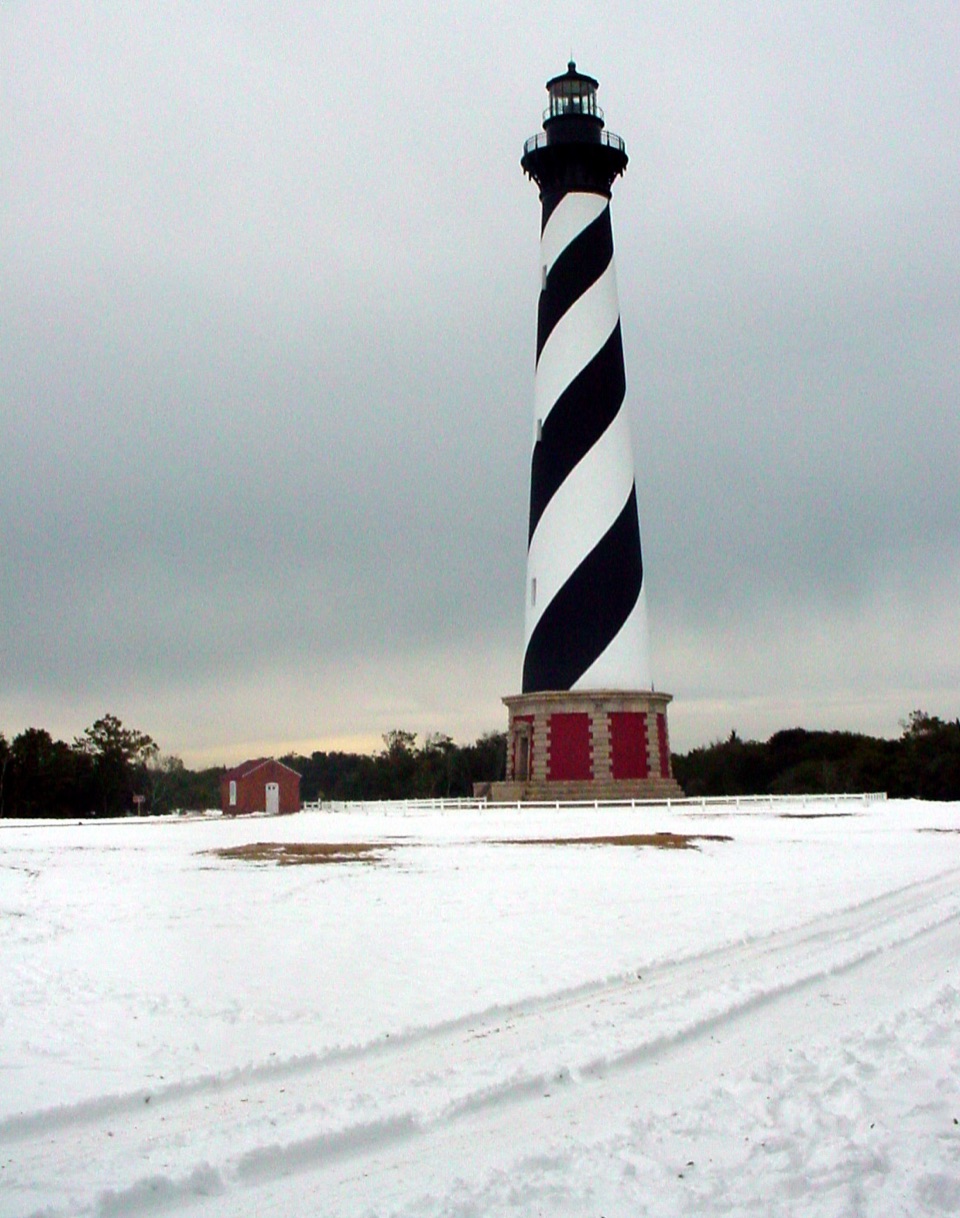 Sight · 0.6 mi awayCape Hatteras LighthouseA black-and-white beacon for the Graveyard of the Atlantic.
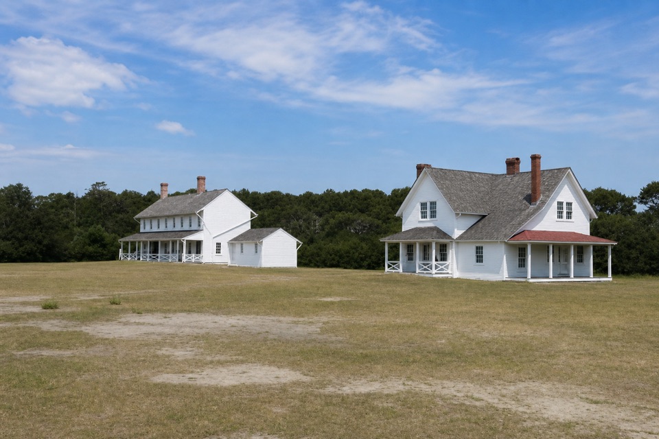 Sight · 0.6 mi awayMuseum of the SeaShipwreck and lifesaving stories inside a 1854 keeper house.
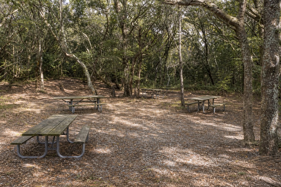 Picnic area · 0.7 mi awayBuxton Woods Picnic AreaA shady picnic stop with a lighthouse view and forest trail.
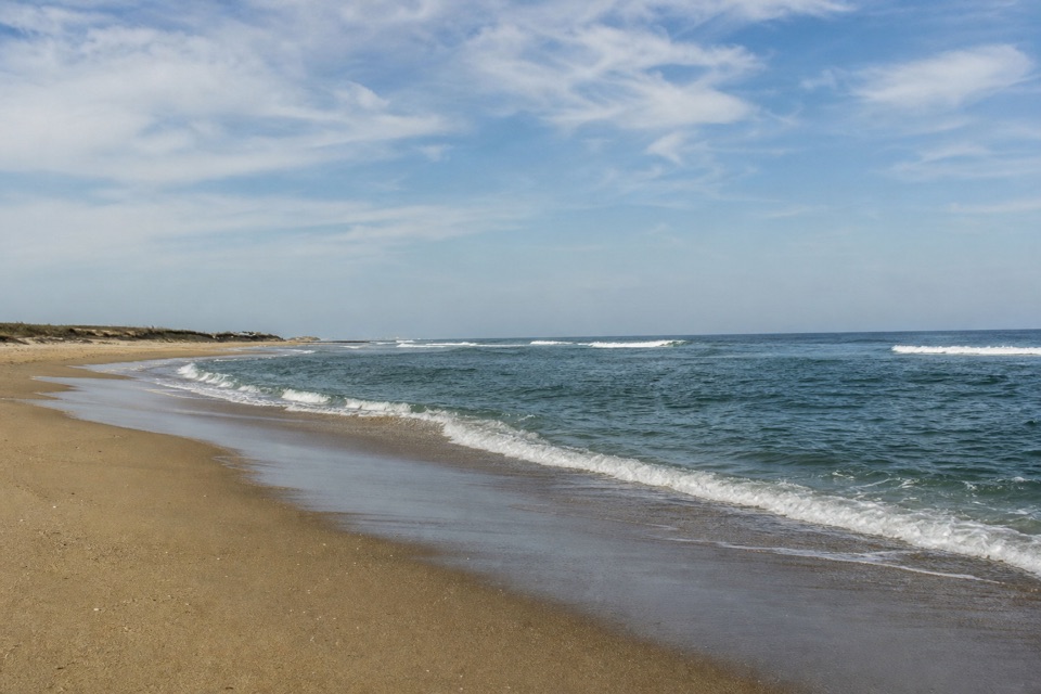 Beach · 1 mi awayOld Lighthouse BeachSurf, shells and a lighthouse story written into the sand.
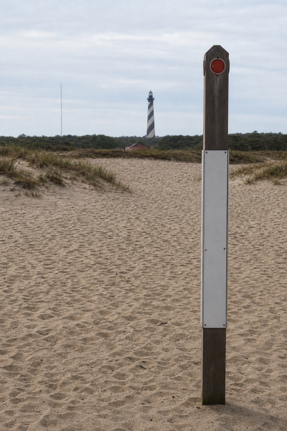 Sight · 1.1 mi awayHistoric Cape Hatteras Lighthouse SiteSee the old footprint and the tower’s 2,900-foot move.
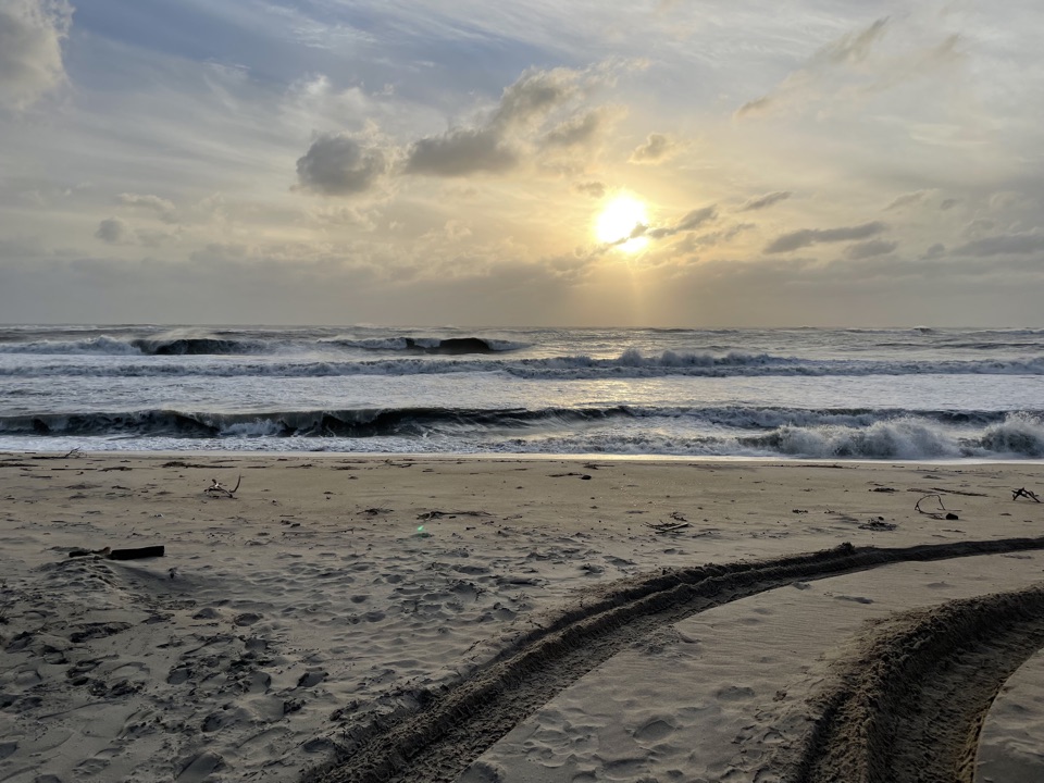 Beach · 1.4 mi awayCape PointTwo shores, shifting sand, and surf fishing at the island's bend.
Parkwolf’s Cape Hatteras ranking

The audio tour guide for the drive, plus offline maps, trails, and wildlife heatmaps for when the signal drops.