Lookout Loop Trail in Cape Hatteras National Seashore

#7 of 11 trails in Cape Hatteras

Cape Hatteras National Seashore, NC

Lookout Loop Trail

A quick ridge-to-sedge walk across old coastal dunes.

Length
0.3mi
Time
21min
Elevation
Flat
Difficulty
Easy
  • Loop
  • Dogs allowed
  • High point 33 ft

Hear the audio tour

The Freshwater Under Buxton Woods

Overview

About Lookout Loop Trail

Why go

  • A quick look at the reserve’s dune-and-sedge terrain.
  • A short loop packs a real climb and descent into little time.

Heads up

  • The steep dip and climb arrive in a very short loop.
  • The sandy 4WD access road complicates arrival in a 2WD car.

Map & elevation

The route

Loading the Cape Hatteras map
Full map
Elevation7–33 ft
TrailheadLookout Loop Trail access at Old Doctors Road35.25438, -75.56006
Keep this map with you offline in the Parkwolf app

Plan your hike

Before you go

Parking

Approach from NC 12 on Old Doctors Road. The road is sandy, and the reserve advises 2WD drivers to stop at the kiosk rather than continue; any approach from that point is extra to the 0.30-mile loop distance. The state also lists a 4WD parking area at the west end of Tunnel Road near the loop.

Safety

A sharp short descent and climb; low sedge can be wet or inaccessible after heavy rain. The reserve warns of summer biting insects, poison ivy and venomous snakes. Hunting is permitted September through February; stay on designated trails and use caution. Dogs must be leashed.

6 active Cape Hatteras alerts

  • ClosurePartial beach closures in front of Buxton VillageSections of beachfront in front of Buxton Village are temporarily closed. - The closure is due to threatened oceanfront structures and Dare County’s beach nourishment project.Official details
  • ClosurePartial beach closure in northern RodantheThe beach from the northern boundary of Rodanthe to the Rodanthe pier is closed to all access. - The closure is required because multiple threatened oceanfront structures pose risks to public safety.Official details
See all 6 alerts
A park ranger sits on a dash-mounted phone, talking, as Parkwolf’s Tour Guide plays “Army Cutworm Moths: A Grizzly Bear Buffet” on Grand Loop Road below Dunraven Pass in Yellowstone
Parkwolf Tour GuideThe highest, rockiest slopes around here are a summer buffet for grizzly bears.

Cape Hatteras Tour Guide

Your drive to Lookout Loop Trail, narrated.

Parkwolf is a GPS audio tour guide for Cape Hatteras National Seashore. As you drive, it chimes in with what’s ahead: hidden gems, upcoming stops, history, geology, and wildlife, right through your car’s speakers.

Recorded for this area

The Freshwater Under Buxton Woods
0:00 / 0:27
“Buxton Woods has a job you can't see from the road. Rain soaks into its sandy ground and replenishes fresh groundwater beneath the trees.”

Plays on the road 0.7 mi from the trailhead in the Parkwolf Cape Hatteras Tour Guide.

More stories near here in the app

  • Buxton British Cemetery and Open Ponds Trail
  • Cape Point Campground
  • A Forest on Old Shorelines
  • Orange Blossom Bakery and the Apple Ugly
  • 67 audio storiesacross Cape Hatteras’s roads, triggered by GPS as you drive
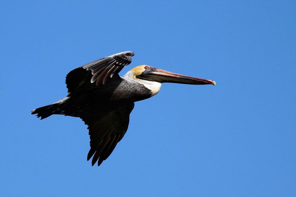
  • Wildlife heatmapsfor Brown Pelican, Tamanend's Bottlenose Dolphin, Bald Eagle, and 13 more
  • Works offlinemaps, 11 trails, 35 places, and audio download before you lose signal
  • CarPlay readysimple controls built for the drive
★★★★★
“Fantastic app with many points of information… It’s great to just turn on while you’re driving and it gives you an audio tour of the national Park. We love it!!!!”
JMJamesApp Store review
Download Parkwolf on the App StoreGet Parkwolf on Google Play

4.7 from 8,600+ ratings

Trail guide

Hiking Lookout Loop Trail

A short loop with a quick change in heightLookout Loop is a 0.

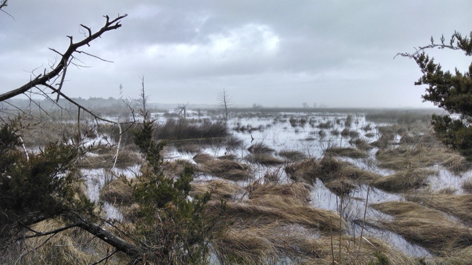
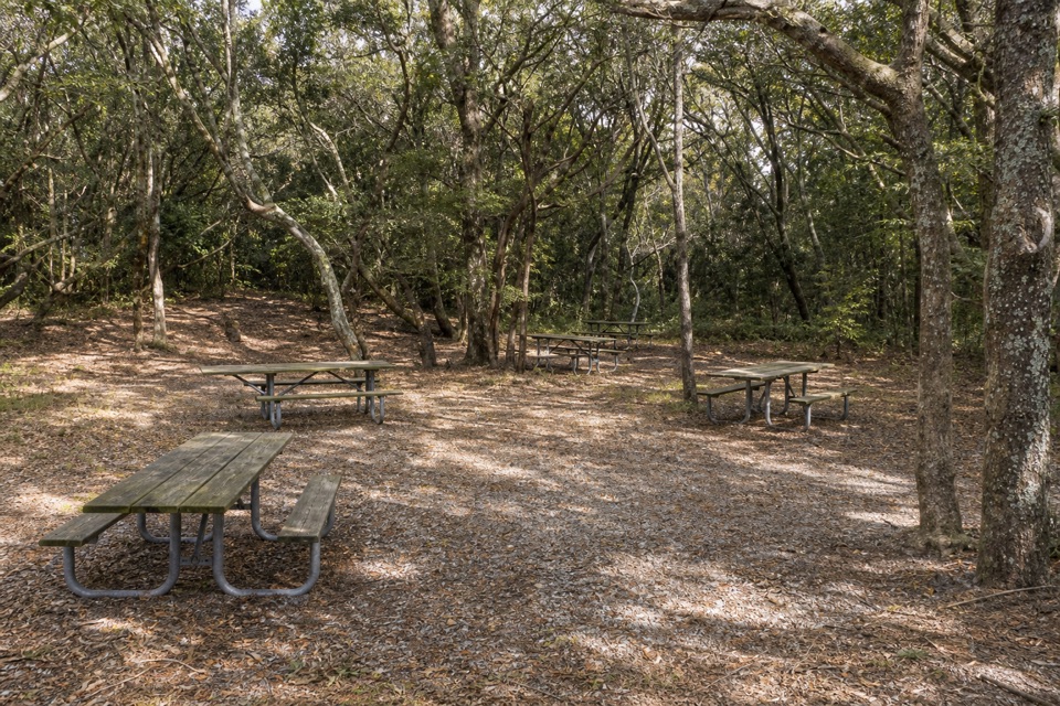
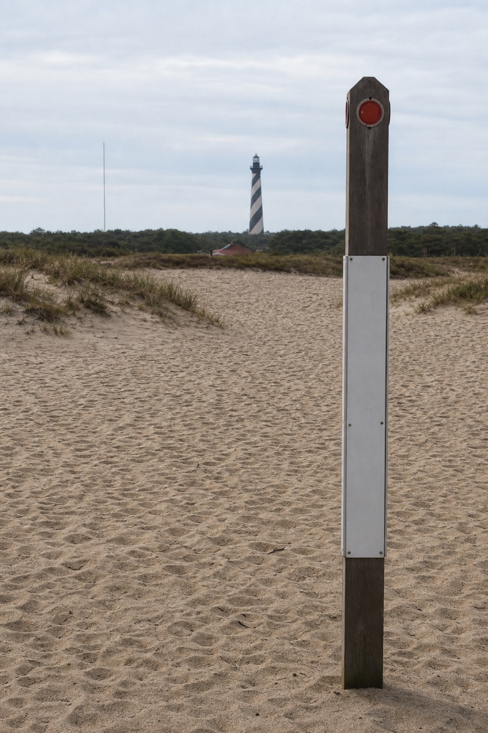
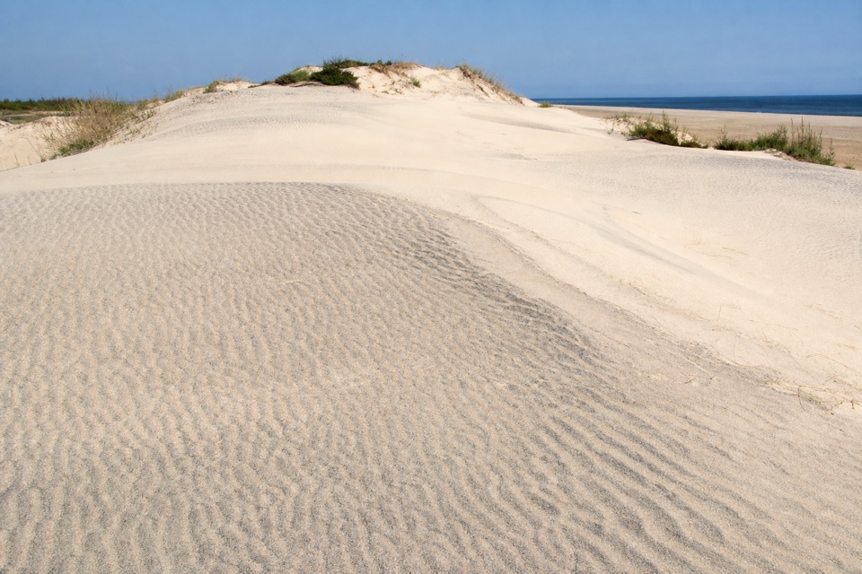
Lookout Loop is a 0.3-mile loop on a relic dune ridge in Buxton Woods Coastal Reserve, beside Cape Hatteras National Seashore. It drops into a freshwater sedge hollow and climbs the next ridge before returning to its access road. The distance includes the short link from the road junction and back. This is a quick way to see the reserve’s ridge-and-swale terrain, not a hike that will fill half a day.

Ridge, hollow, ridgeFrom Old Doctors Road, a short path brings you to the loop.

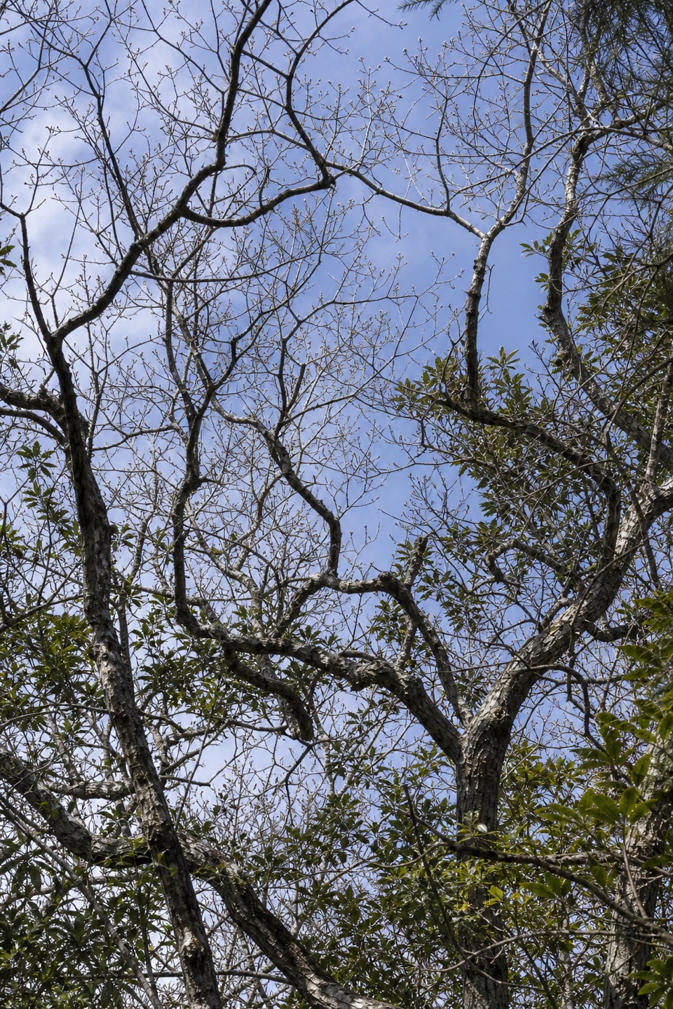
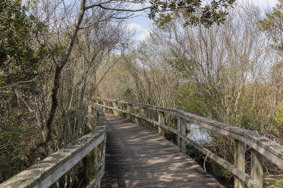
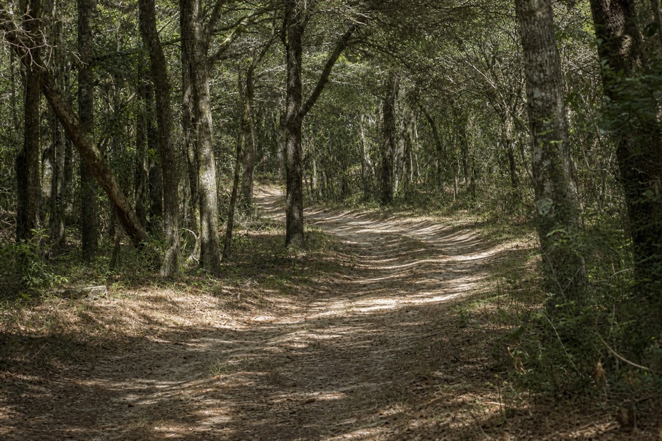
From Old Doctors Road, a short path brings you to the loop. The route climbs quickly through maritime forest, then drops sharply into a sedge swale before rising to the next ridge. The footing is natural ground; it isn’t a boardwalk or a level nature path. The road itself is sandy. Look into the hollow from the ridge: the low swale and the next rise make the landform easier to read than the dense trees do from the road. If the view opens up, frame the swale with the far ridge behind it.

Easy by distance, punchier underfootThe current state reserve page rates the loop easy, while an older reserve brochure calls it…

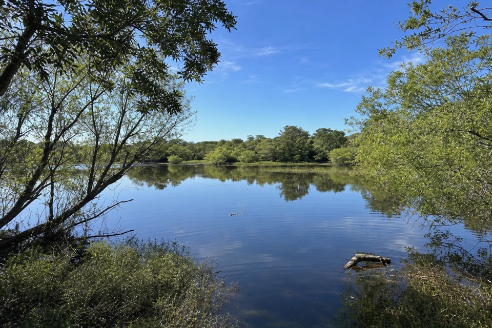
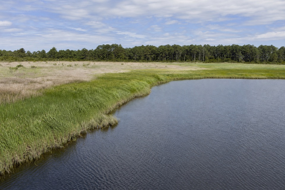
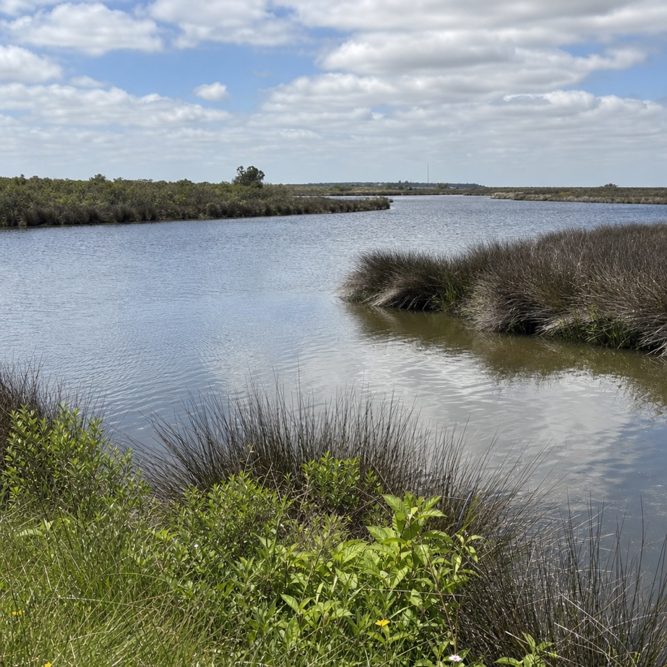
The current state reserve page rates the loop easy, while an older reserve brochure calls it moderate. The short length favors “easy,” but the quick descent and climb are real; allow around 20 minutes if you stop to look around. The wet hollows between old dunes hold freshwater marshes called sedges, and the reserve is part of one of the coast’s largest remaining maritime forests. Sections through sedge can be wet or inaccessible after heavy rain.

Getting thereThis is a North Carolina Coastal Reserve trail on state-managed land beside the national…

This is a North Carolina Coastal Reserve trail on state-managed land beside the national seashore, not an NPS trail. Follow Old Doctors Road off NC 12 to the kiosk. The road is sandy, and the reserve advises 2WD drivers to stop at the kiosk rather than continue; that road walk is extra and isn’t included in the loop distance. The state also identifies a 4WD parking area at the west end of Tunnel Road near the loop. There are no public restrooms at the reserve. Dogs are allowed on a leash. Stay on the marked trail; hunting and fishing are permitted in the reserve, and summer brings biting insects, poison ivy and venomous snakes.

Wildlife

Wildlife in Cape Hatteras

All Cape Hatteras wildlife maps

Sighting maps show where each species has been reported across Cape Hatteras. Wildlife moves, so no sighting is guaranteed.

Keep exploring

Near Lookout Loop Trail

See it all on the map

Trails that start nearby

Places near the trailhead

Parkwolf’s Cape Hatteras ranking

Top-rated trails in Cape Hatteras

All 11 trails
  1. 1Open Ponds TrailModerate · 4.5 mi
  2. 2Buxton Woods TrailEasy · 0.8 mi
  3. 3Bodie Island Boardwalk TrailEasy · 0.4 mi
  4. 4Hammock Hills TrailEasy · 0.8 mi
  5. 5Mountains-to-Sea Trail: Cape Hatteras SectionChallenging · 72.3 mi
  6. 6Off-Island TrailEasy · 0.6 mi

Take Parkwolf to Cape Hatteras.

The audio tour guide for the drive, plus offline maps, trails, and wildlife heatmaps for when the signal drops.

4.7 from 8,600+ ratings

Download Parkwolf on the App StoreGet Parkwolf on Google Play