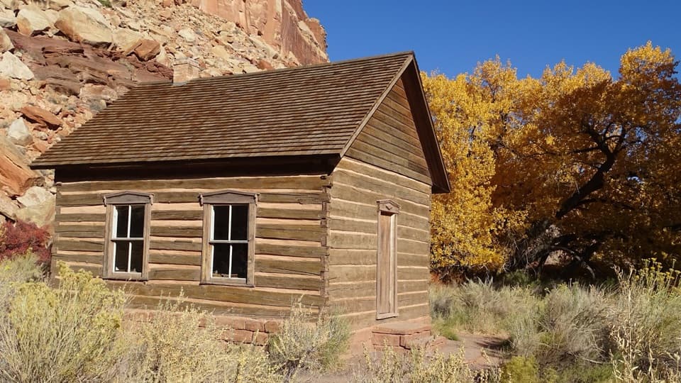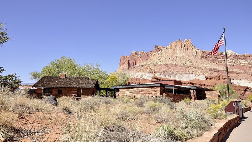
Capitol Reef National Park Visitor Center in Capitol Reef National Park

Visitor center · Capitol Reef National Park

Capitol Reef National Park Visitor Center

Maps, ranger help, and an 18-minute film make a useful first stop.

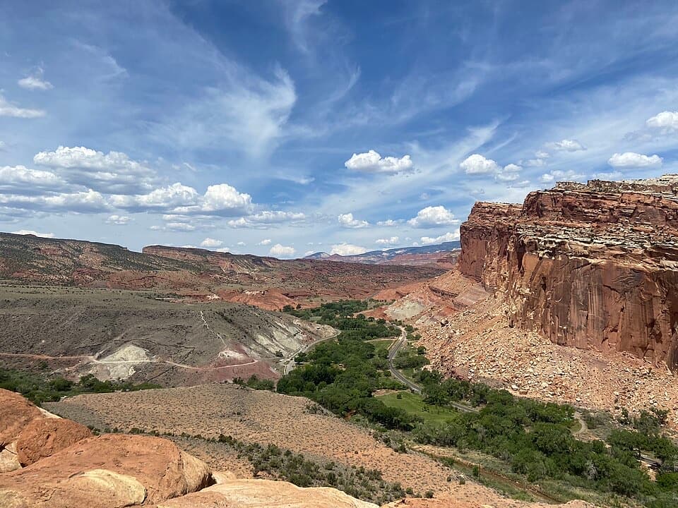
Photo: Wikimedia Commons
Type
Visitor center
Nearest trail
0.1 mi
Audio stories
11 nearby
  • Exhibit
  • Restrooms
  • Parking
  • Store

Hear the audio tour

Visitor Center and Lower Sulphur Creek

Overview

About Capitol Reef National Park Visitor Center

Why stop

  • Backcountry permits, Junior Ranger materials and accessible exhibits in one stop.

Map

Where it is

Loading the Capitol Reef map
Full map
Visitor centerCapitol Reef National Park Visitor Center38.29145, -111.26203
Keep this map with you offline in the Parkwolf app

Plan your stop

Before you go

2 active Capitol Reef alerts

  • CautionFlash-flood hazard in canyons and washesHeavy rains can cause sudden flooding in Capitol Reef’s canyons and washes; do not hike or drive through floodwater.Official details
  • CautionE. coli advisory for Fremont River and Sulphur CreekDo not swim in the Fremont River or Sulphur Creek or get water in your mouth: NPS reports elevated E. coli in both waterways, and Utah DEQ has issued a warning advisory. - DEQ reports Sulphur Creek E.Official details

Capitol Reef alerts
A park ranger sits on a dash-mounted phone, talking, as Parkwolf’s Tour Guide plays “Army Cutworm Moths: A Grizzly Bear Buffet” on Grand Loop Road below Dunraven Pass in Yellowstone
Parkwolf Tour GuideThe highest, rockiest slopes around here are a summer buffet for grizzly bears.

Capitol Reef Tour Guide

Your drive to Capitol Reef National Park Visitor Center, narrated.

Parkwolf is a GPS audio tour guide for Capitol Reef National Park. As you drive, it chimes in with what’s ahead: hidden gems, upcoming stops, history, geology, and wildlife, right through your car’s speakers.

See the Capitol Reef audio tour

Recorded for this place

Visitor Center and Lower Sulphur Creek
0:00 / 0:34
“You're coming up on the Capitol Reef Visitor Center, where Highway 24 meets the Scenic Drive.”

Plays as you drive up to Capitol Reef National Park Visitor Center in the Parkwolf Capitol Reef Tour Guide.

More stories near here in the app

  • The Castle Viewpoint
  • Fruita Schoolhouse
  • Fruita Blacksmith Shop
  • Gifford Homestead and Fruita Orchards
  • 116 audio storiesacross Capitol Reef’s roads, triggered by GPS as you drive
  • Wildlife heatmapsfor Bighorn Sheep, Mule Deer, Marmot, and 13 more
  • Works offlinemaps, 48 trails, 52 places, and audio download before you lose signal
  • CarPlay readysimple controls built for the drive
★★★★★
“Fantastic app with many points of information… It’s great to just turn on while you’re driving and it gives you an audio tour of the national Park. We love it!!!!”
JMJamesApp Store review
Download Parkwolf on the App StoreGet Parkwolf on Google Play

4.7 from 8,600+ ratings

Guide

More about Capitol Reef National Park Visitor Center

Start here in FruitaCapitol Reef’s main staffed visitor center sits in Fruita where UT-24 meets the Scenic Drive.

Capitol Reef’s main staffed visitor center sits in Fruita where UT-24 meets the Scenic Drive. It is a practical first stop for maps, ranger advice and backcountry permits; staff also provide Junior Ranger booklets and sell entrance passes. Auto parking, potable water and accessible flush restrooms are available, and the bookstore makes the stop useful even after you know your route.

Put the Fold in contextThe exhibits connect the Waterpocket Fold’s geology with Fruita’s human history and the park’s…

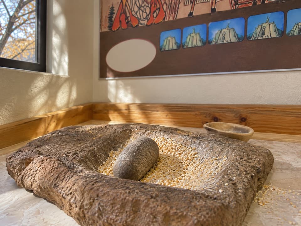
The exhibits connect the Waterpocket Fold’s geology with Fruita’s human history and the park’s plants and wildlife, using photographs, video, text and interactive displays. An 18-minute orientation film is a quick introduction before the drive. A tactile exhibit, braille and audio description provide additional ways to explore the displays.

A Mission 66 buildingThe present center was part of Mission 66, the effort to improve park visitor facilities ahead…

The present center was part of Mission 66, the effort to improve park visitor facilities ahead of its 50th anniversary in 1966. Construction began in 1964 and finished in 1965; architect Cecil Doty designed the building, with Arthur K. Olsen & Associates also involved. The same project changed Fruita’s road corridor: private land was acquired to complete State Route 24 and the park entrance.

Before the current centerCapitol Reef’s first official park building was a Civilian Conservation Corps sandstone ranger…

Capitol Reef’s first official park building was a Civilian Conservation Corps sandstone ranger station built in 1940 from stone quarried near Chimney Rock. A lack of water left it vacant for ten years. It became a visitor contact station in 1950, then park headquarters and a museum in 1959; since 1965 it has served as the superintendent’s office.

Wildlife

Wildlife in Capitol Reef

All Capitol Reef wildlife maps

Sighting maps show where each species has been reported across Capitol Reef. Wildlife moves, so no sighting is guaranteed.

Keep exploring

Near Capitol Reef National Park Visitor Center

See it all on the map

Trails nearby

More stops nearby

Parkwolf’s Capitol Reef ranking

Top sights in Capitol Reef

All 52 places
  1. 1Hickman BridgeSight
  2. 2Gifford HomesteadSight
  3. 3Fremont PetroglyphsSight
  4. 4Cassidy ArchSight
  5. 5Temples of the Sun and MoonSight
  6. 6Fruita OrchardsSight

Take Parkwolf to Capitol Reef.

The audio tour guide for the drive, plus offline maps, trails, and wildlife heatmaps for when the signal drops.

4.7 from 8,600+ ratings

Download Parkwolf on the App StoreGet Parkwolf on Google Play