Parking
Use the gravel area beside the UT-24 bridge just west of the visitor center; keep the visitor-center lot for visitors to the center. Lot capacity and fees were not confirmed.
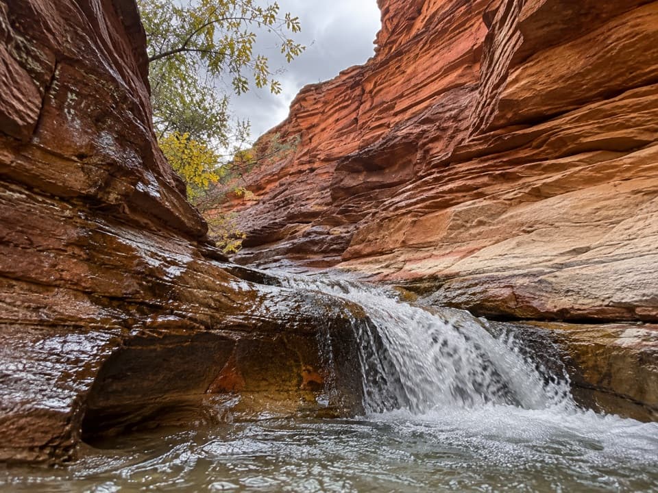
Capitol Reef National Park, UT
Follow a desert creek upstream to a waterfall below red rock walls.
Overview
Map & elevation
Plan your hike

The highest, rockiest slopes around here are a summer buffet for grizzly bears.
Capitol Reef Tour Guide
Parkwolf is a GPS audio tour guide for Capitol Reef National Park. As you drive, it chimes in with what’s ahead: hidden gems, upcoming stops, history, geology, and wildlife, right through your car’s speakers.
See the Capitol Reef audio tourRecorded for this trailhead
Visitor Center and Lower Sulphur Creek“You're coming up on the Capitol Reef Visitor Center, where Highway 24 meets the Scenic Drive.”
Plays as you drive up to this trailhead in the Parkwolf Capitol Reef Tour Guide.
More stories near here in the app
“Fantastic app with many points of information… It’s great to just turn on while you’re driving and it gives you an audio tour of the national Park. We love it!!!!”


Trail guide
This is a 1.4-mile out-and-back from the gravel parking by the UT-24 bridge to Sulphur Creek’s lower waterfall and pool, then back the same way. The falls are about 0.7 mile upstream. It is a short canyon walk, separate from the much longer top-down Sulphur Creek traverse. Allow one to two hours; creek crossings and uneven footing slow the walk.
Use the gravel area beside the UT-24 bridge just west of the visitor center, keeping the visitor-center lot for center visitors. The start can be hard to pick out around nearby buildings; once at the channel, head upstream. The route alternates between sandy bank and creek bed, with several crossings. Depending on flow, you may get wet feet; an above-creek line can be drier but less direct. Stop at the modest waterfall and pool, then return. An alternate return by the old lime kiln is described, but its distance is not established, so it is not included in this mapped out-and-back.
Sulphur Creek has cut through some of Capitol Reef’s oldest exposed rock. The full canyon contains about two miles of narrows and three small waterfalls; this short walk reaches only the lower falls. Near the lower creek, an old lime kiln built by early Fruita residents is a reminder of the settlement’s working past. Look without climbing on or into it.
Spring and fall are the recommended seasons. Summer walks need a clear weather outlook: flash floods can change this narrow canyon quickly, and flow, obstacles, and crossing depth vary. Check current creek conditions before setting out, and do not drink from the creek. Pets are not allowed on park trails or off-trail areas. Food and drinking-water service at the trailhead or along the route were not found; bring what you need.
Wildlife
 50 sightingsBighorn SheepMost seen around 6 PMSighting map
 322 sightingsMule DeerMost seen around 6 PMSighting map
 70 sightingsMarmotMost seen around 7 AMSighting map
 13 sightingsCottontail RabbitMost seen around 7 PMSighting map
 33 sightingsTurkeyMost seen around 6 AMSighting map
 14 sightingsRavenMost seen around 9 AMSighting map
Sighting maps show where each species has been reported across Capitol Reef. Wildlife moves, so no sighting is guaranteed.
Keep exploring
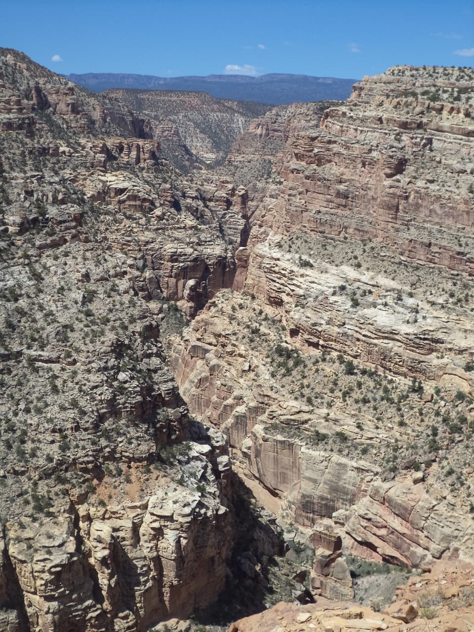 ChallengingFremont Gorge Overlook Trail4.6 mi · 3 hr · 0.9 mi awayA mesa climb ends above the Fremont River, 800 feet below.
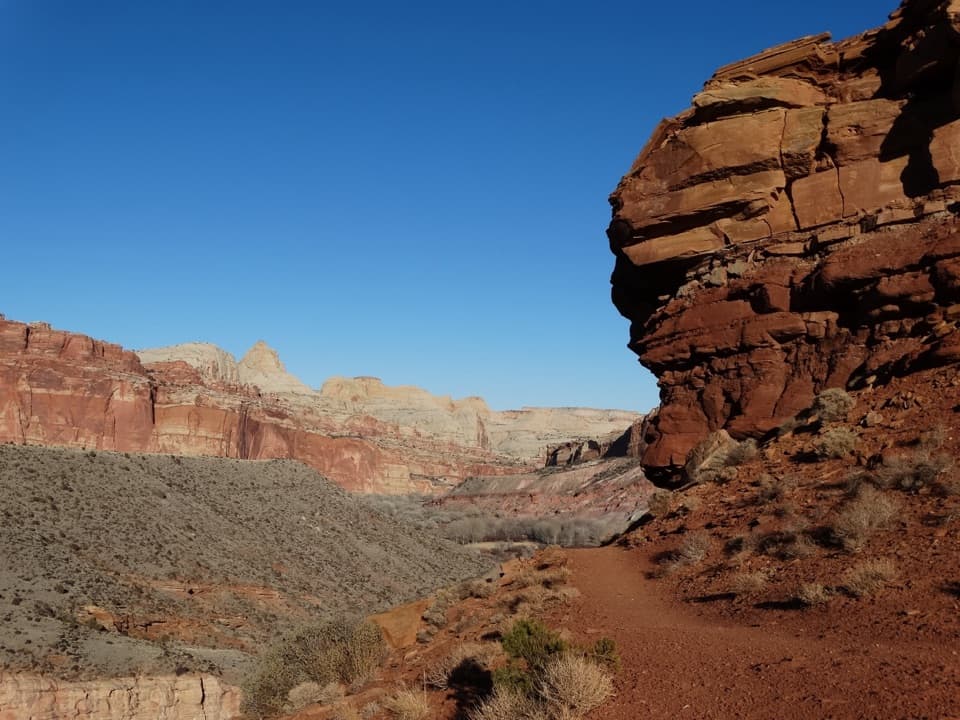 ModerateFremont River Trail2 mi · 1.5 hr · 1 mi awayRiver walk, a steep climb, and broad views over Fruita.
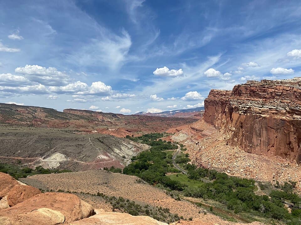 ModerateCohab Canyon Trail1.7 mi · 1.5 hr · 1.1 mi awayA steep Fruita climb opens into a sculpted sandstone canyon.
 EasyFremont Petroglyph Boardwalks0.4 mi · 20 min · 1.1 mi awayTwo wooden boardwalks reveal Fremont rock art.
 ModerateHickman Bridge Trail1.8 mi · 1.5 hr · 1.9 mi awayA moderate climb to a 133-foot bridge and a loop beneath it.
 ChallengingRim Overlook Trail4.6 mi · 3.5 hr · 1.9 mi awayFruita and the Waterpocket Fold spread below this steep rim climb.
 ChallengingNavajo Knobs Trail9.4 mi · 7 hr · 1.9 mi awayA strenuous rim hike to a tiny summit and a huge panorama.
 ChallengingFrying Pan Trail4.4 mi · 4 hr · 1.9 mi awayA tough mesa crossing with its best views behind you.
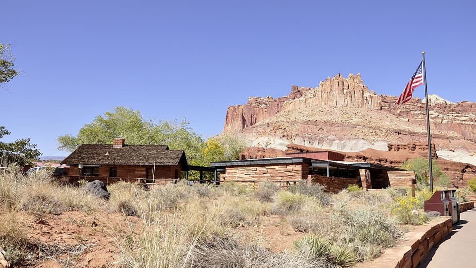 Visitor center · 0.1 mi awayCapitol Reef National Park Visitor CenterMaps, ranger help, and an 18-minute film make a useful first stop.
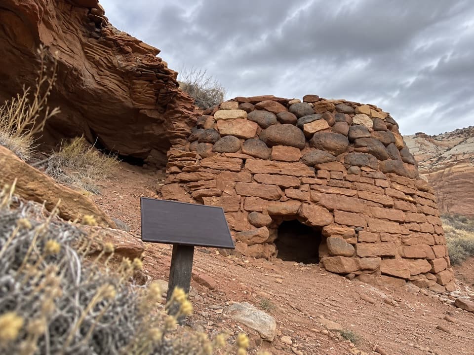 Sight · 0.2 mi awaySulphur Creek Lime KilnA small historic kiln adds Fruita history to a rough creek walk.
 Sight · 0.3 mi awayFruita OrchardsAround 1,900 trees keep Fruita’s farming past alive.
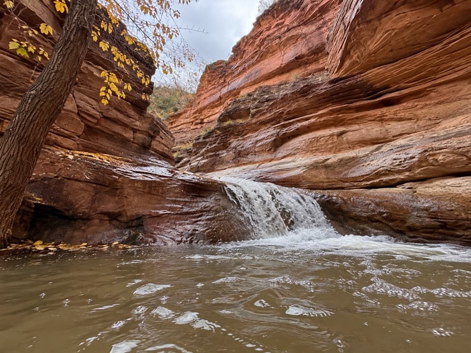 Sight · 0.5 mi awayLower Sulphur Creek WaterfallA short creek walk ends at a small waterfall.
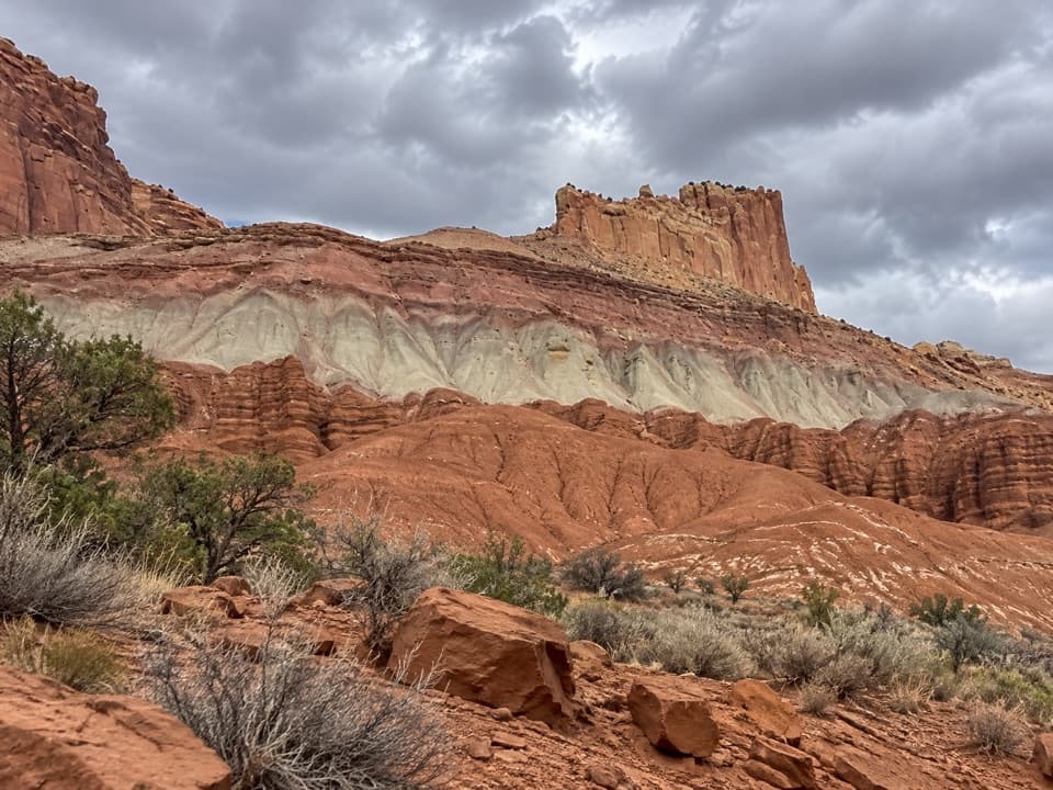 Sight · 0.7 mi awayThe Castle ViewpointA sandstone bluff cut free by erosion’s own moat.
 Sight · 0.8 mi awayRim OverlookGo this far for a cliff-top look at Fruita's patchwork orchards.
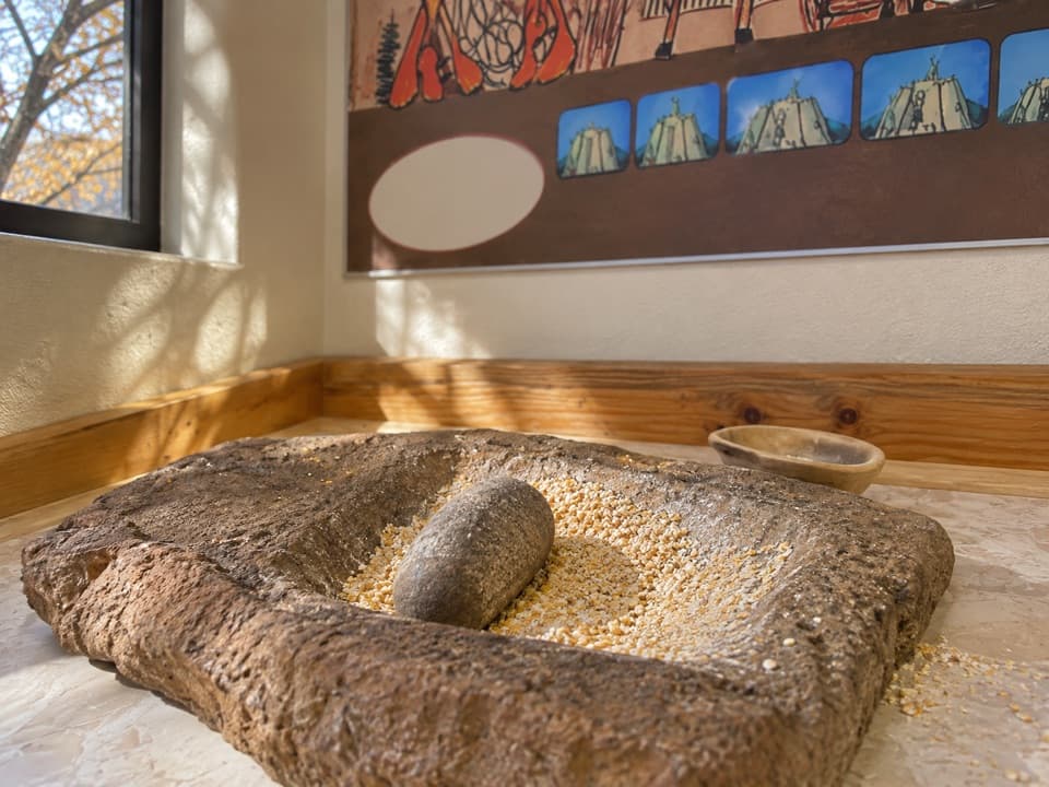 Sight · 0.8 mi awayRipple Rock Nature CenterA shaded Fruita stop; check for seasonal outdoor programs
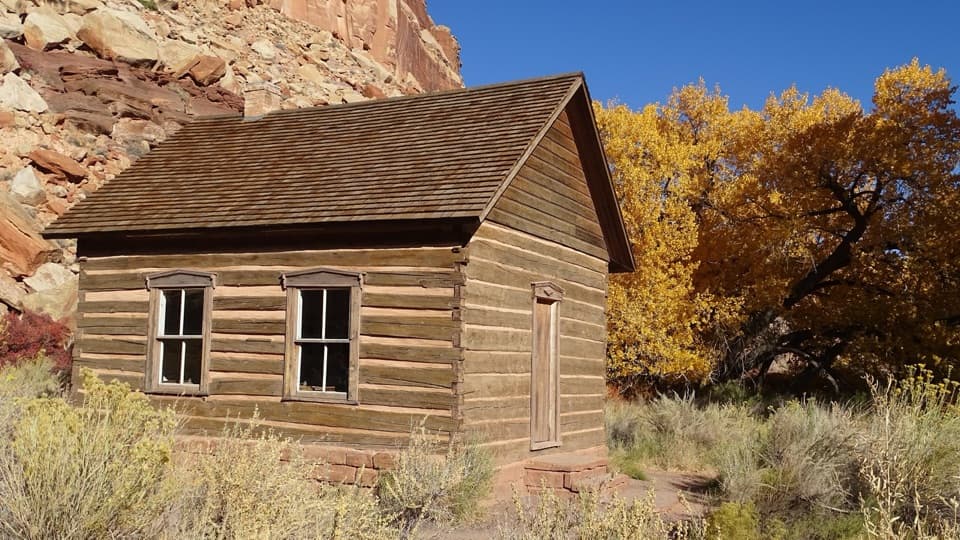 Sight · 0.8 mi awayFruita SchoolhouseA restored classroom, seen through its windows, tells a small-town story.
Parkwolf’s Capitol Reef ranking

The audio tour guide for the drive, plus offline maps, trails, and wildlife heatmaps for when the signal drops.


