Parking
Use the Petroglyph Panel parking area on UT-24, about 1.1 miles east of the visitor center. Both boardwalks branch from the parking-area walkway.

Capitol Reef National Park, UT
Two wooden boardwalks reveal Fremont rock art.
Overview
Map & elevation
Plan your hike

The highest, rockiest slopes around here are a summer buffet for grizzly bears.
Capitol Reef Tour Guide
Parkwolf is a GPS audio tour guide for Capitol Reef National Park. As you drive, it chimes in with what’s ahead: hidden gems, upcoming stops, history, geology, and wildlife, right through your car’s speakers.
See the Capitol Reef audio tourRecorded for this trailhead
Fremont Petroglyphs“The Fremont Petroglyphs are coming up beside Highway 24. This is a stop I'd keep even on a short visit: allow about twenty minutes for the two boardwalks.”
Plays as you drive up to this trailhead in the Parkwolf Capitol Reef Tour Guide.
More stories near here in the app
“Fantastic app with many points of information… It’s great to just turn on while you’re driving and it gives you an audio tour of the national Park. We love it!!!!”


Trail guide
Fremont Petroglyph Boardwalks make a quick, mostly level roadside stop from the Petroglyph Panel parking area. Walk both boardwalks and return along the shared walkway for about 0.4 mile total; the route connects the short main-panel spur to a longer cliffside boardwalk. The park suggests 5–30 minutes, with about 20 minutes a fair middle ground if you want to look carefully. This is a close look at rock art, not a strenuous hike.
The shorter western boardwalk faces the larger humanlike figures and bighorn sheep panel. It is the easiest place to start: take your time and use the two stationary binoculars at the site, since the carvings sit back from the walking surface.
Follow the connecting path east to the longer boardwalk along the cliff base. Its carvings are physically closer but harder to distinguish beneath a dark patina, so do not expect every mark to jump out. The two stops complement each other: prominent shapes first, weathered details second.
The panels include trapezoid-bodied human figures, animals and geometric designs. Their intended meanings are not known, so the best visit is a patient look rather than a guess at one fixed story. “Fremont Culture” is a modern archaeological label for communities in Utah around 300–1300 CE, not a known name those people used for themselves.
Find the Petroglyph Panel parking area on UT-24, about 1.1 miles east of the visitor center. The site is listed as open year-round; no reservation is required, and the park recreation fee applies. Leashed pets are allowed on the boardwalks. The park identifies boardwalk access as accessible but does not publish a wheelchair specification for the path. Stay on the boardwalks and do not touch or mark the rock art.
Wildlife
 50 sightingsBighorn SheepMost seen around 6 PMSighting map
 322 sightingsMule DeerMost seen around 6 PMSighting map
 70 sightingsMarmotMost seen around 7 AMSighting map
 13 sightingsCottontail RabbitMost seen around 7 PMSighting map
 33 sightingsTurkeyMost seen around 6 AMSighting map
 14 sightingsRavenMost seen around 9 AMSighting map
Sighting maps show where each species has been reported across Capitol Reef. Wildlife moves, so no sighting is guaranteed.
Keep exploring
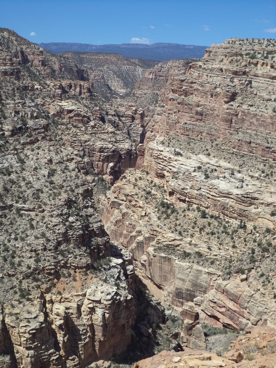 ChallengingFremont Gorge Overlook Trail4.6 mi · 3 hr · 0.3 mi awayA mesa climb ends above the Fremont River, 800 feet below.
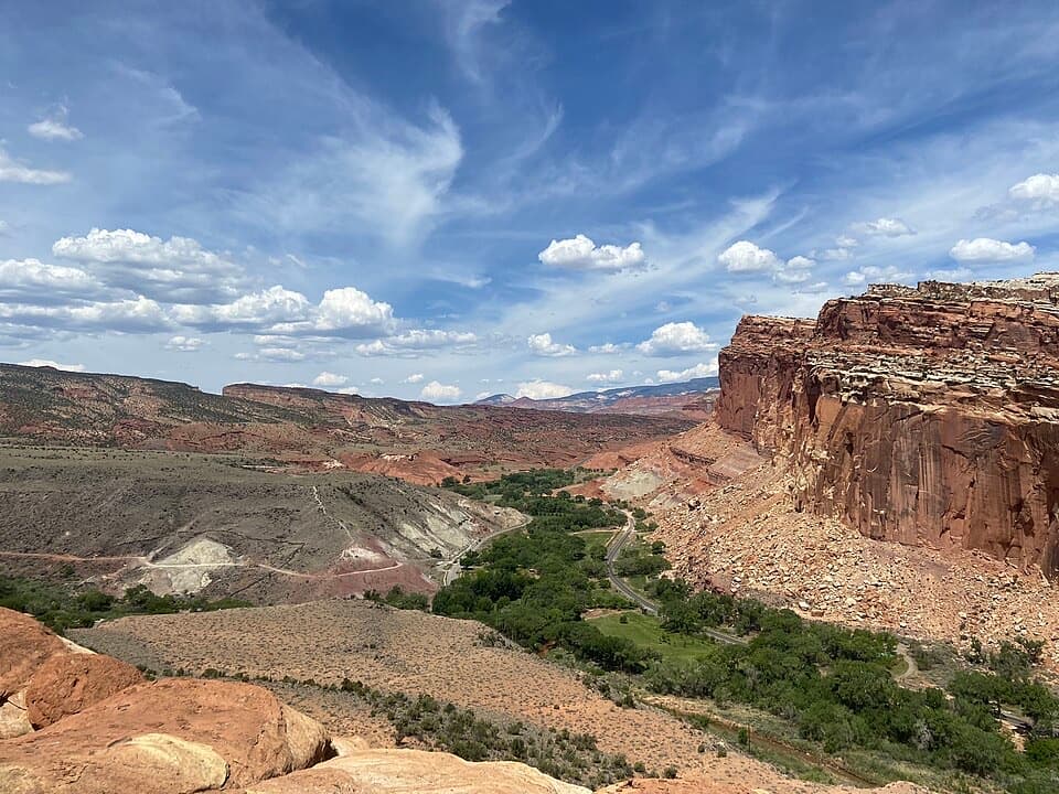 ModerateCohab Canyon Trail1.7 mi · 1.5 hr · 0.4 mi awayA steep Fruita climb opens into a sculpted sandstone canyon.
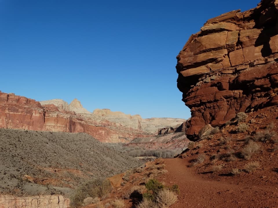 ModerateFremont River Trail2 mi · 1.5 hr · 0.6 mi awayRiver walk, a steep climb, and broad views over Fruita.
 ModerateHickman Bridge Trail1.8 mi · 1.5 hr · 0.8 mi awayA moderate climb to a 133-foot bridge and a loop beneath it.
 ChallengingRim Overlook Trail4.6 mi · 3.5 hr · 0.8 mi awayFruita and the Waterpocket Fold spread below this steep rim climb.
 ChallengingNavajo Knobs Trail9.4 mi · 7 hr · 0.8 mi awayA strenuous rim hike to a tiny summit and a huge panorama.
 ChallengingFrying Pan Trail4.4 mi · 4 hr · 0.8 mi awayA tough mesa crossing with its best views behind you.
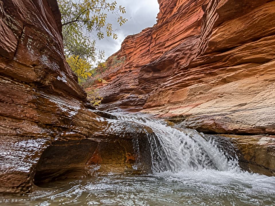 ModerateSulphur Creek Waterfall Hike1.4 mi · 1.5 hr · 1.1 mi awayFollow a desert creek upstream to a waterfall below red rock walls.Sight · 0.1 mi awayFremont PetroglyphsFind tall human figures and geometric bighorns across the red wall.
 Picnic area · 0.3 mi awayFruita Picnic AreaA shaded lawn makes a welcome pause in Fruita's red-rock valley.Sight · 0.3 mi awaySouth Fruita OverlookThe layers of the Waterpocket Fold make sense from above Fruita.
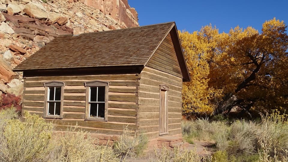 Sight · 0.3 mi awayFruita SchoolhouseA restored classroom, seen through its windows, tells a small-town story.
 Sight · 0.3 mi awayNorth Fruita OverlookA steep climb pays off in a sweeping canyon view.
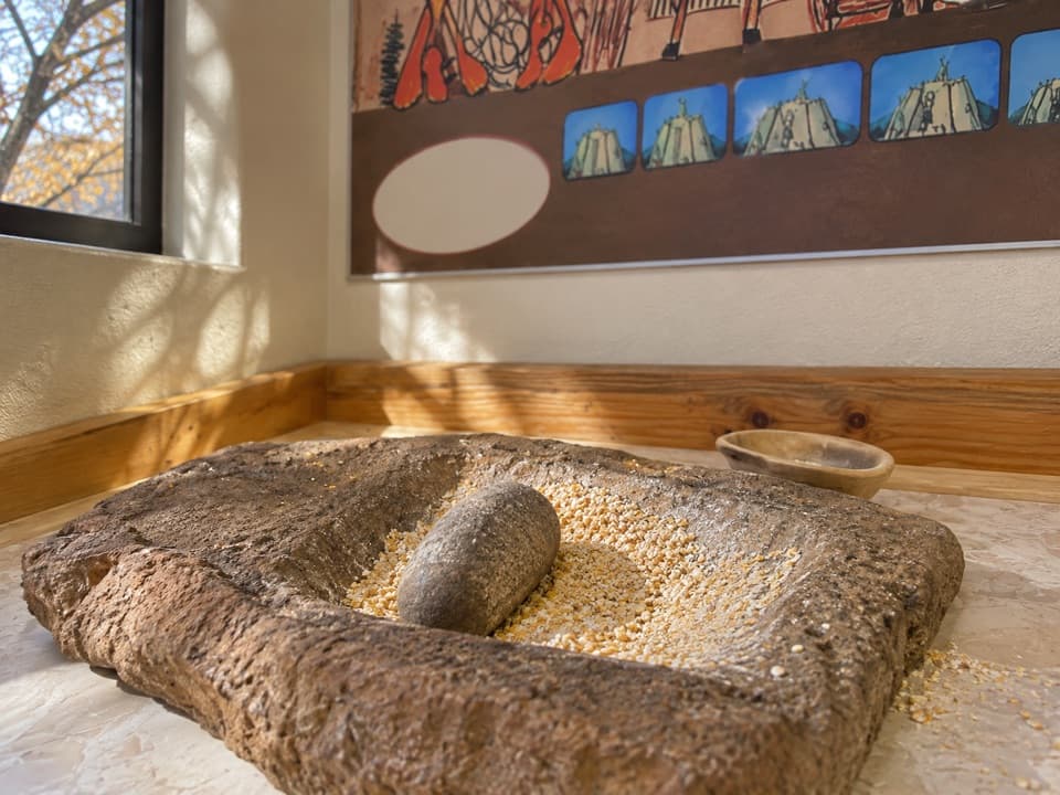 Sight · 0.3 mi awayRipple Rock Nature CenterA shaded Fruita stop; check for seasonal outdoor programs
 Sight · 0.4 mi awayMerin Smith Implement ShedPeek through the open doors at Fruita's old farm machinery.
 Sight · 0.4 mi awayGifford HomesteadFruita's pioneer farmhouse shares its history with the fruit-pie shop.
Parkwolf’s Capitol Reef ranking

The audio tour guide for the drive, plus offline maps, trails, and wildlife heatmaps for when the signal drops.


