Parking
Start at Fruita’s blacksmith shop and historic implement shed area off Capitol Reef Scenic Drive. The campground approach adds about a mile round trip.
Capitol Reef National Park, UT
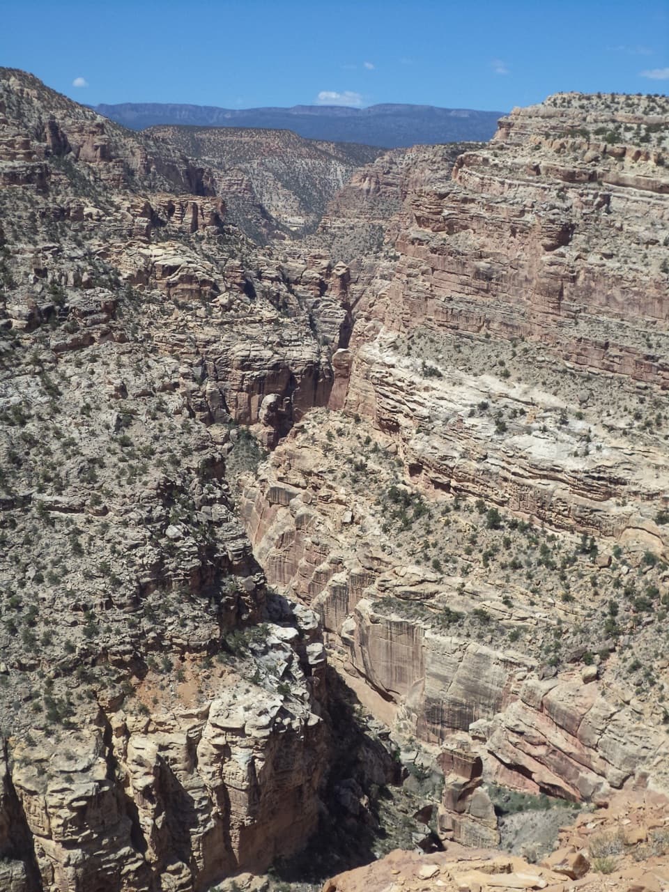
A mesa climb ends above the Fremont River, 800 feet below.
Overview
Map & elevation
Plan your hike

The highest, rockiest slopes around here are a summer buffet for grizzly bears.
Capitol Reef Tour Guide
Parkwolf is a GPS audio tour guide for Capitol Reef National Park. As you drive, it chimes in with what’s ahead: hidden gems, upcoming stops, history, geology, and wildlife, right through your car’s speakers.
See the Capitol Reef audio tourRecorded for this trailhead
Fruita Blacksmith Shop“You're approaching Fruita's old blacksmith shop, also called the Merin Smith Implement Shed. Built in nineteen twenty-five as a workshop and garage, it's a quick stop for a look at the old farm machinery.”
Plays as you drive up to this trailhead in the Parkwolf Capitol Reef Tour Guide.
More stories near here in the app
“Fantastic app with many points of information… It’s great to just turn on while you’re driving and it gives you an audio tour of the national Park. We love it!!!!”


Trail guide
Fremont Gorge Overlook Trail is a 4.6-mile out-and-back from Fruita’s blacksmith shop area to a high rim above the Fremont River Gorge. Plan on about 1,090 feet of climbing. The listed distance is 2.3 miles each way; the mapped trail line measures 2.04 miles one way, so the published mileage and map line do not quite match. Allow about three hours. This is a strenuous hike, not a quick roadside viewpoint: you climb twice, cross a long open mesa and get little shade. The gorge view is the payoff.
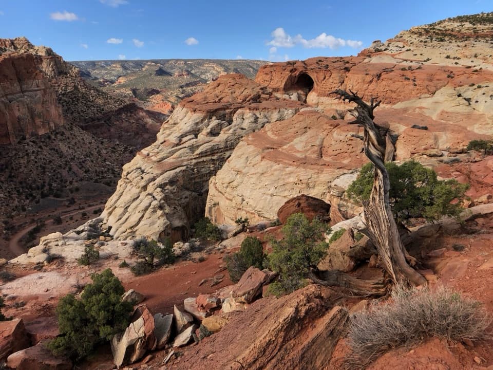
From the blacksmith shop and historic implement shed area, a short service road leads to a footpath that climbs the mesa spine in steep switchbacks. The first steep 0.3 mile gains roughly 300 feet over two short stair-step sections. The grade eases across the broad mesa top. Yellow grass and sagebrush grow among black basalt boulders, with Miners Mountain ahead and Capitol Reef’s cliffs behind. Pinyon and juniper become more common farther west.
After the mesa, the trail climbs again beside a red-brown rock thumb, then follows crumbly rock and limestone toward the gorge. You get closer canyon views before the final uphill stretch to a large cairn at the rim. The open middle section is easier; don’t spend all your energy there.
The basalt boulders on Johnson Mesa look out of place among Capitol Reef’s red sandstone. One interpretation is that ice-age glaciers carried volcanic rock down from Thousand Lake and Boulder mountains about 10,000 years ago. Near the rim, red Moenkopi rock sits beside yellow-brown Sinbad Limestone; the gorge walls show much older layers, including White Rim Sandstone.
The Fremont River winds roughly 800 feet below between steep walls. From the rim, the view also opens across the Waterpocket Fold toward Boulder Mountain. Turn around to take in the mesa you just crossed. For a photo, include the river below the opposite wall so the frame shows the drop. Early light helps reveal gorge detail; afternoon brings out the wider Fold panorama.
This is a strenuous hike. There is little to no shade and no water along the route, so summer heat makes the two climbs harder; an early start on a hot day helps. Stay well back from the high gorge edge. Pets are prohibited on the park’s hiking trails. Start at the blacksmith shop area off Capitol Reef Scenic Drive; beginning at the campground adds about a mile round trip.
Wildlife
 50 sightingsBighorn SheepMost seen around 6 PMSighting map
 322 sightingsMule DeerMost seen around 6 PMSighting map
 70 sightingsMarmotMost seen around 7 AMSighting map
 13 sightingsCottontail RabbitMost seen around 7 PMSighting map
 33 sightingsTurkeyMost seen around 6 AMSighting map
 14 sightingsRavenMost seen around 9 AMSighting map
Sighting maps show where each species has been reported across Capitol Reef. Wildlife moves, so no sighting is guaranteed.
Keep exploring
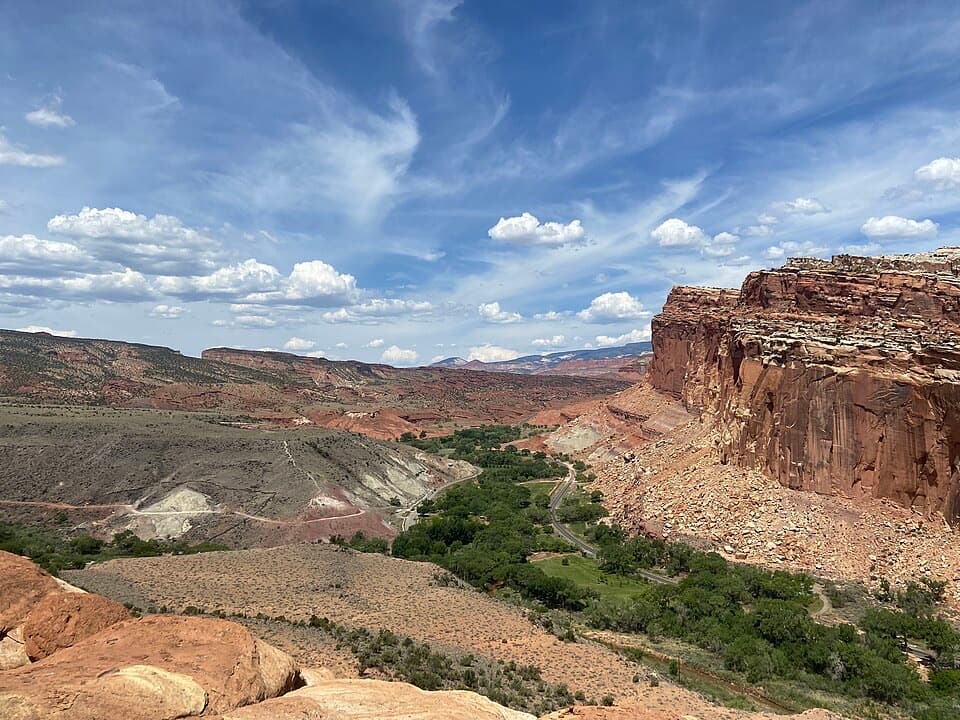 ModerateCohab Canyon Trail1.7 mi · 1.5 hr · 0.2 mi awayA steep Fruita climb opens into a sculpted sandstone canyon.
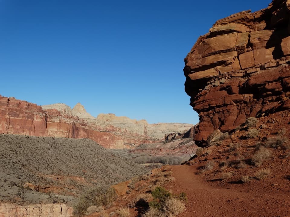 ModerateFremont River Trail2 mi · 1.5 hr · 0.3 mi awayRiver walk, a steep climb, and broad views over Fruita.
 EasyFremont Petroglyph Boardwalks0.4 mi · 20 min · 0.3 mi awayTwo wooden boardwalks reveal Fremont rock art.
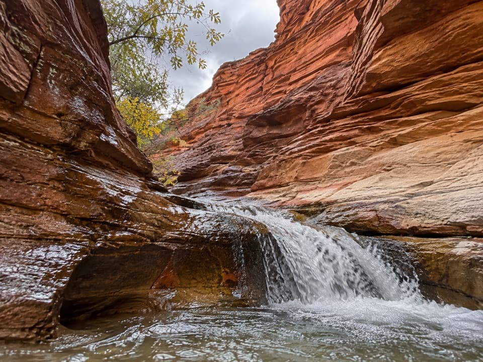 ModerateSulphur Creek Waterfall Hike1.4 mi · 1.5 hr · 0.9 mi awayFollow a desert creek upstream to a waterfall below red rock walls.
 ModerateHickman Bridge Trail1.8 mi · 1.5 hr · 1.1 mi awayA moderate climb to a 133-foot bridge and a loop beneath it.
 ChallengingRim Overlook Trail4.6 mi · 3.5 hr · 1.1 mi awayFruita and the Waterpocket Fold spread below this steep rim climb.
 ChallengingNavajo Knobs Trail9.4 mi · 7 hr · 1.1 mi awayA strenuous rim hike to a tiny summit and a huge panorama.
 ChallengingFrying Pan Trail4.4 mi · 4 hr · 1.1 mi awayA tough mesa crossing with its best views behind you.
 Picnic area · 0.1 mi awayFruita Picnic AreaA shaded lawn makes a welcome pause in Fruita's red-rock valley.
 Sight · 0.1 mi awayGifford HomesteadFruita's pioneer farmhouse shares its history with the fruit-pie shop.
 Sight · 0.1 mi awayMerin Smith Implement ShedPeek through the open doors at Fruita's old farm machinery.
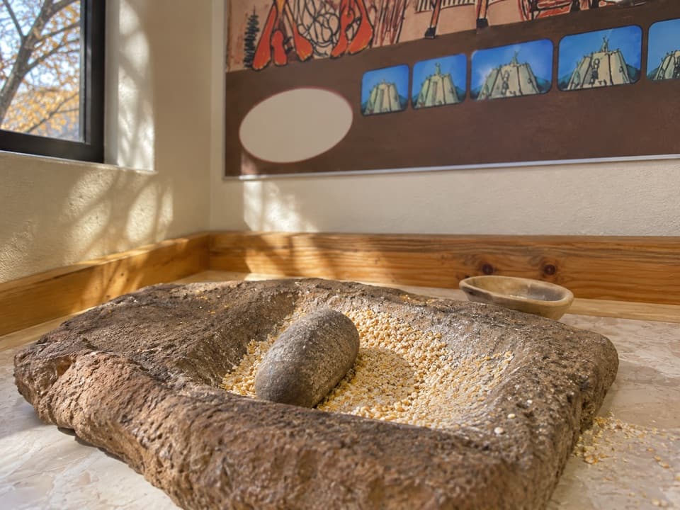 Sight · 0.1 mi awayRipple Rock Nature CenterA shaded Fruita stop; check for seasonal outdoor programs
 Campground · 0.2 mi awayFruita CampgroundAn orchard campground under red cliffs beside the Fremont River.
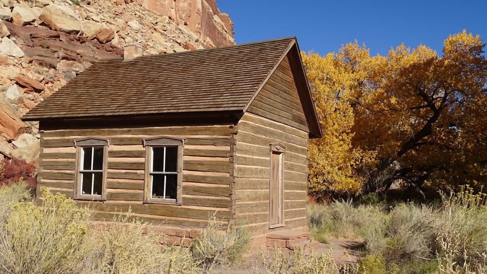 Sight · 0.2 mi awayFruita SchoolhouseA restored classroom, seen through its windows, tells a small-town story.Sight · 0.4 mi awayFremont PetroglyphsFind tall human figures and geometric bighorns across the red wall.
 Sight · 0.4 mi awayRim OverlookGo this far for a cliff-top look at Fruita's patchwork orchards.
Parkwolf’s Capitol Reef ranking

The audio tour guide for the drive, plus offline maps, trails, and wildlife heatmaps for when the signal drops.