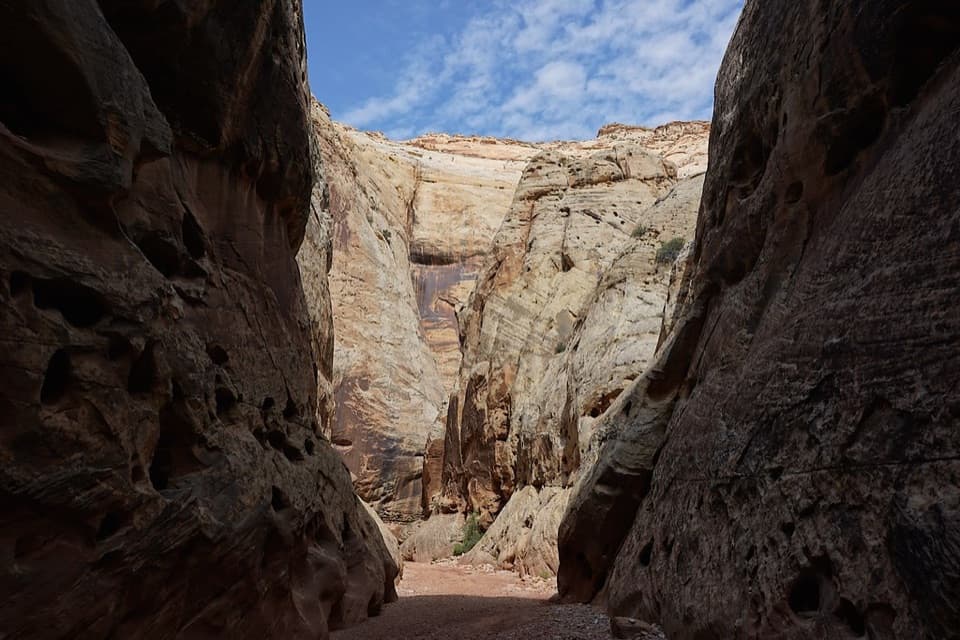
Parking
Use the shared Hickman Bridge–Rim Overlook–Navajo Knobs lot off UT-24. It is small and can fill earlier in the day; do not park on the highway shoulder. A pit toilet is beside the lot.

#1 of 48 trails in Capitol Reef
Capitol Reef National Park, UT
A moderate climb to a 133-foot bridge and a loop beneath it.
Overview
Map & elevation
Plan your hike

The highest, rockiest slopes around here are a summer buffet for grizzly bears.
Capitol Reef Tour Guide
Parkwolf is a GPS audio tour guide for Capitol Reef National Park. As you drive, it chimes in with what’s ahead: hidden gems, upcoming stops, history, geology, and wildlife, right through your car’s speakers.
See the Capitol Reef audio tourRecorded for this trailhead
Hickman Bridge“You're approaching the Hickman Bridge trailhead, where a rocky hike leads to a 133-foot sandstone span.”
Plays as you drive up to this trailhead in the Parkwolf Capitol Reef Tour Guide.
More stories near here in the app
“Fantastic app with many points of information… It’s great to just turn on while you’re driving and it gives you an audio tour of the national Park. We love it!!!!”


Trail guide
Hickman Bridge Trail is a 1.8-mile round trip from the shared UT-24 trailhead, mostly an out-and-back with a short loop beneath the bridge at the far end. It follows the Fremont River briefly, climbs across the reef, passes Fremont pit-house and granary remains and a smaller natural bridge, then reaches a 133-foot sandstone span. If you have time for one short Capitol Reef hike, keep this one: the route packs several distinct sights into a couple of hours. Allow about 1.5 to 2 hours with stops. The listed 0.9 miles is the one-way distance; the return outing is about 1.8 miles, including the bridge circuit.
The first tenth of a mile runs beside the Fremont River before the trail turns uphill. Steps and switchbacks make the early climb steady. At about 0.2 mile, stay on the Hickman Bridge branch at the signed junction; the other route heads toward Rim Overlook and Navajo Knobs. The slope eases in places near the top, but this is not a level stroll. The trail crosses open desert and slickrock, with views of Capitol Dome and Pectols Pyramid opening along the way. There is little shade, so the climbing feels much harder in hot weather.
Near the upper part of the hike, a short spur leads to a Fremont pit-house and granary. Give the remains a look without stepping on or handling them. Continue past the granary and you reach Nels Johnson Natural Bridge, a smaller opening about 100 yards farther along. It is an easy feature to miss if you hurry straight to the famous bridge, and it makes the approach feel like more than a walk to one endpoint.
The final approach winds over slickrock between sandstone walls, boulders, and bristlecone pines. The tread is less obvious here than on the lower path; follow the worn line and rock markers. At the bridge, take the short circuit beneath and around the span, then reconnect with the approach for the walk back. The return side can be harder to pick out, so look for the continuing cairns instead of making your own way across the rock.
Hickman Bridge is a 133-foot-long natural span, about 125 feet high, cut through sandstone by flowing water. The loop gives you a look up through the arch as well as views framed by the canyon walls; from the bluff beyond it, you can look south toward Fruita and the mouth of Cohab Canyon. For a phone photo, stand beneath the span and include some of the surrounding walls so the bridge does not fill the whole frame without any sense of scale.
The shared Hickman Bridge–Rim Overlook–Navajo Knobs lot is small and often fills earlier in the day. Use marked parking and do not leave the car on the highway shoulder. A pit toilet is beside the lot, but there is no potable water at the trailhead or along the route. Spring and fall are the more comfortable hiking seasons; in warm months, go early, since most of the climb is exposed. The route gains about 400 feet and has uneven rock near the bridge. Pets are not allowed on this park hiking trail.
Wildlife
 50 sightingsBighorn SheepMost seen around 6 PMSighting map
 322 sightingsMule DeerMost seen around 6 PMSighting map
 70 sightingsMarmotMost seen around 7 AMSighting map
 13 sightingsCottontail RabbitMost seen around 7 PMSighting map
 33 sightingsTurkeyMost seen around 6 AMSighting map
 14 sightingsRavenMost seen around 9 AMSighting map
Sighting maps show where each species has been reported across Capitol Reef. Wildlife moves, so no sighting is guaranteed.
Keep exploring
 ChallengingRim Overlook Trail4.6 mi · 3.5 hr · At the trailheadFruita and the Waterpocket Fold spread below this steep rim climb.
 ChallengingNavajo Knobs Trail9.4 mi · 7 hr · At the trailheadA strenuous rim hike to a tiny summit and a huge panorama.
 ChallengingFrying Pan Trail4.4 mi · 4 hr · At the trailheadA tough mesa crossing with its best views behind you.
 EasyFremont Petroglyph Boardwalks0.4 mi · 20 min · 0.8 mi awayTwo wooden boardwalks reveal Fremont rock art.
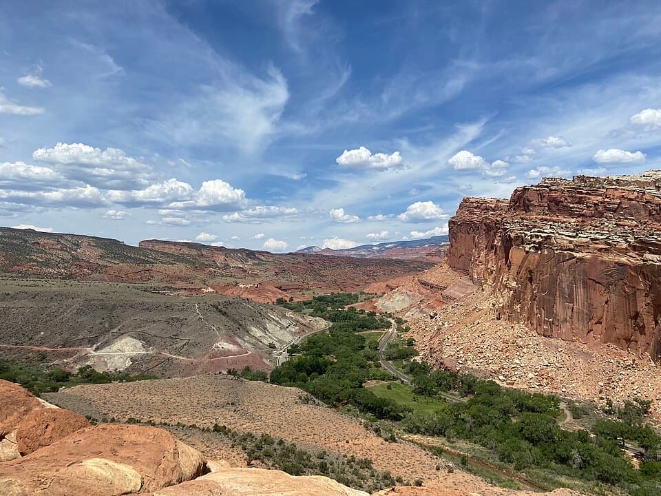 ModerateCohab Canyon Trail1.7 mi · 1.5 hr · 1.1 mi awayA steep Fruita climb opens into a sculpted sandstone canyon.
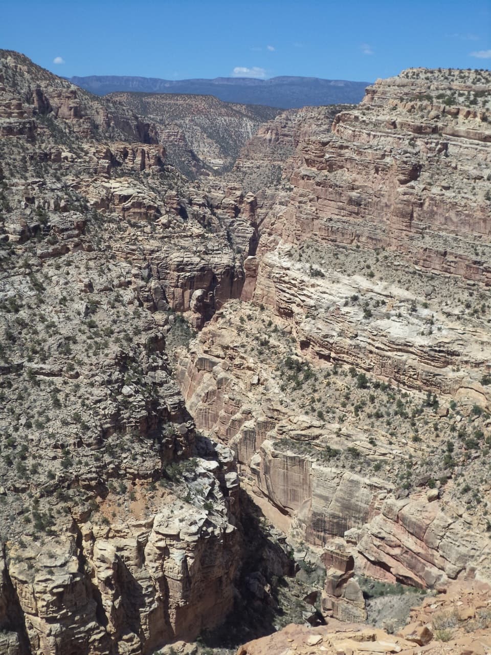 ChallengingFremont Gorge Overlook Trail4.6 mi · 3 hr · 1.1 mi awayA mesa climb ends above the Fremont River, 800 feet below.
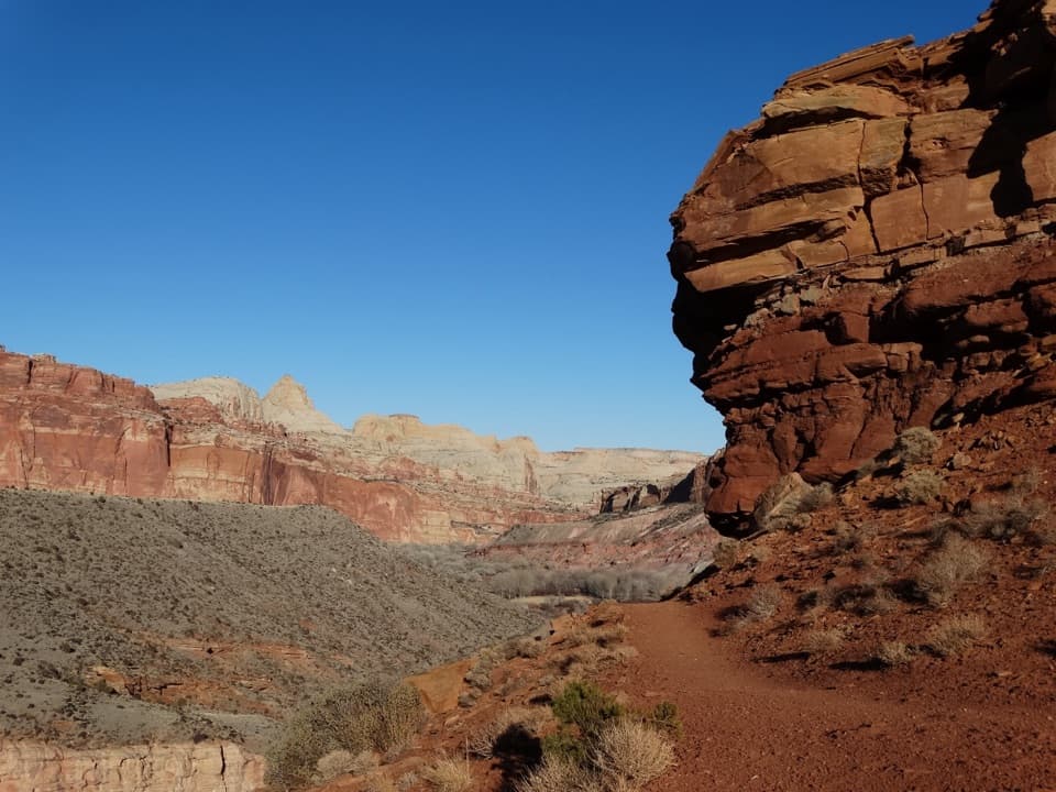 ModerateFremont River Trail2 mi · 1.5 hr · 1.3 mi awayRiver walk, a steep climb, and broad views over Fruita.
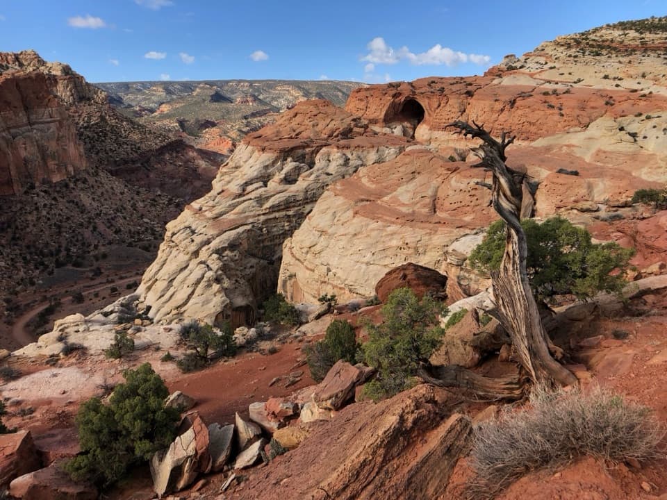 ChallengingCassidy Arch Trail3.4 mi · 3.5 hr · 1.8 mi awayA steep climb to a walkable arch above Grand Wash.
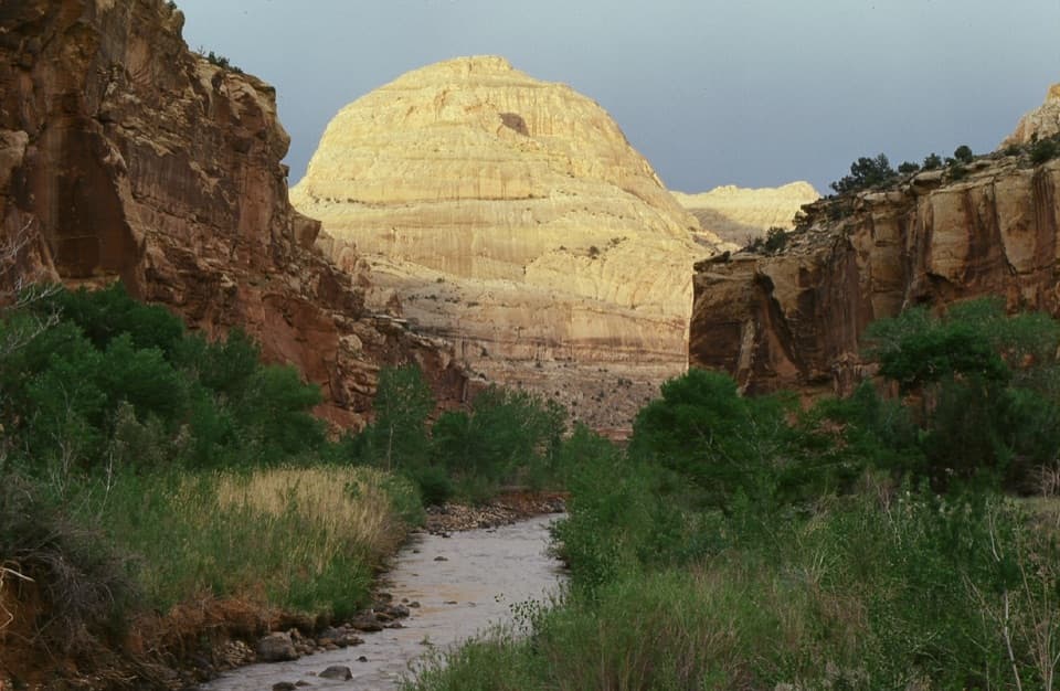 Sight · At the trailheadCapitol DomeSee the sandstone formation that helped give Capitol Reef its name.
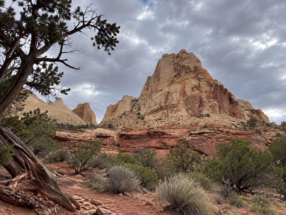 Sight · 0.3 mi awayNavajo Dome ViewpointA roadside look at Navajo Dome above the Waterpocket Fold.Sight · 0.4 mi awayHickman BridgeA 133-foot bridge rewards a rocky climb past Fremont remains.
 Sight · 0.5 mi awayNorth Fruita OverlookA steep climb pays off in a sweeping canyon view.Sight · 0.7 mi awaySouth Fruita OverlookThe layers of the Waterpocket Fold make sense from above Fruita.Sight · 0.8 mi awayFremont PetroglyphsFind tall human figures and geometric bighorns across the red wall.
 Picnic area · 1 mi awayFruita Picnic AreaA shaded lawn makes a welcome pause in Fruita's red-rock valley.
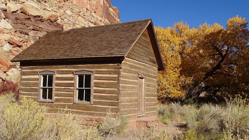 Sight · 1.1 mi awayFruita SchoolhouseA restored classroom, seen through its windows, tells a small-town story.
Parkwolf’s Capitol Reef ranking

The audio tour guide for the drive, plus offline maps, trails, and wildlife heatmaps for when the signal drops.