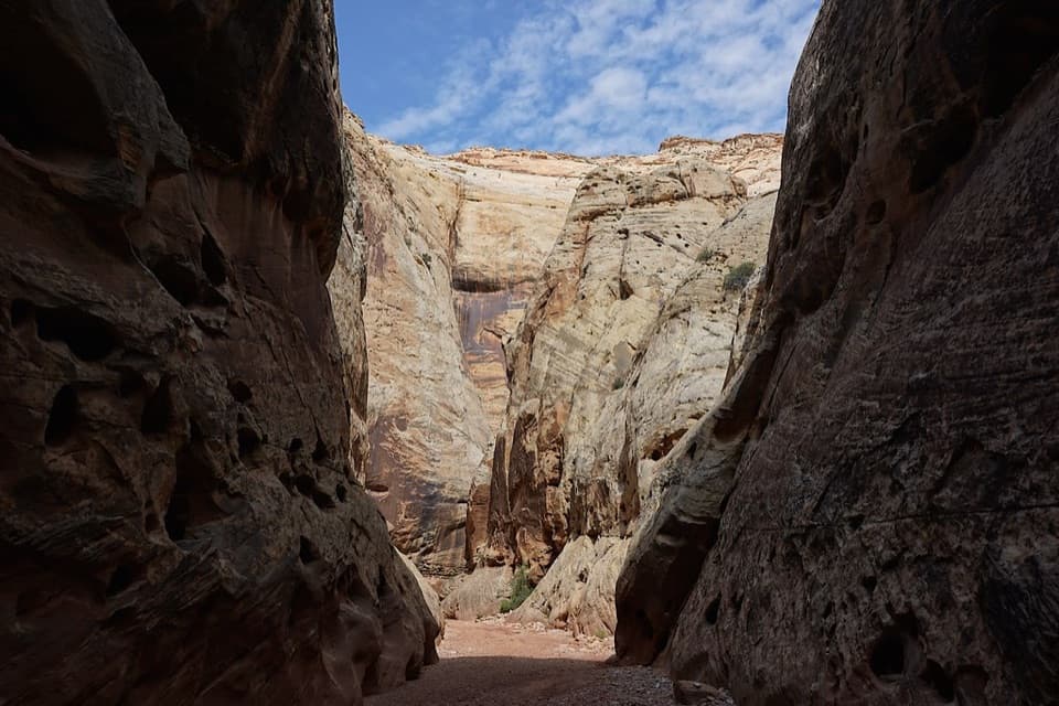
The Tanks in Capitol Reef National Park

Sight · Capitol Reef National Park

The Tanks

Small rain-fed pools turn pale sandstone into living habitat.

Photo: Wikimedia Commons
Type
Sight
Nearest trail
0.7 mi
Audio stories
2 nearby
  • Trailhead
  • Parking
  • Restrooms
  • Picnic tables

Hear the audio tour

Capitol Gorge and Pioneer Register

Overview

About The Tanks

Why stop

  • Fairy shrimp and other tiny wildlife make the side trip memorable.

Heads up

  • The pools may be dry, and reaching them takes a walk and climb.

Map

Where it is

Loading the Capitol Reef map
Full map
SightThe Tanks38.21397, -111.15782
Keep this map with you offline in the Parkwolf app

Plan your stop

Before you go

2 active Capitol Reef alerts

  • CautionFlash-flood hazard in canyons and washesHeavy rains can cause sudden flooding in Capitol Reef’s canyons and washes; do not hike or drive through floodwater.Official details
  • CautionE. coli advisory for Fremont River and Sulphur CreekDo not swim in the Fremont River or Sulphur Creek or get water in your mouth: NPS reports elevated E. coli in both waterways, and Utah DEQ has issued a warning advisory. - DEQ reports Sulphur Creek E.Official details

Capitol Reef alerts
A park ranger sits on a dash-mounted phone, talking, as Parkwolf’s Tour Guide plays “Army Cutworm Moths: A Grizzly Bear Buffet” on Grand Loop Road below Dunraven Pass in Yellowstone
Parkwolf Tour GuideThe highest, rockiest slopes around here are a summer buffet for grizzly bears.

Capitol Reef Tour Guide

Your drive to The Tanks, narrated.

Parkwolf is a GPS audio tour guide for Capitol Reef National Park. As you drive, it chimes in with what’s ahead: hidden gems, upcoming stops, history, geology, and wildlife, right through your car’s speakers.

See the Capitol Reef audio tour

Recorded for this place

Capitol Gorge and Pioneer Register
0:00 / 0:27
“Capitol Gorge's trailhead is coming up, with a short walk into the canyon's travel history. I'd start with the Pioneer Register, about half a mile in, then return the same way for an easier outing.”

Plays as you drive up to The Tanks in the Parkwolf Capitol Reef Tour Guide.

More stories near here in the app

  • The Surveyors’ Erosion Prank
  • The Oriole’s Hanging Nest
  • The Coyote’s Contact Calls
  • An Eagle Nest Keeps Growing
  • 116 audio storiesacross Capitol Reef’s roads, triggered by GPS as you drive
  • Wildlife heatmapsfor Bighorn Sheep, Mule Deer, Marmot, and 13 more
  • Works offlinemaps, 48 trails, 52 places, and audio download before you lose signal
  • CarPlay readysimple controls built for the drive
★★★★★
“Fantastic app with many points of information… It’s great to just turn on while you’re driving and it gives you an audio tour of the national Park. We love it!!!!”
JMJamesApp Store review
Download Parkwolf on the App StoreGet Parkwolf on Google Play

4.7 from 8,600+ ratings

Guide

More about The Tanks

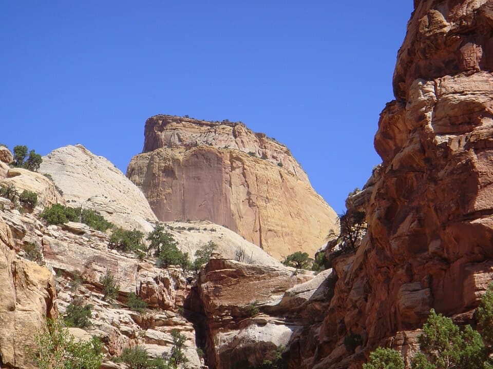
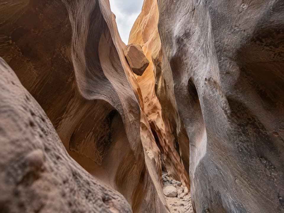
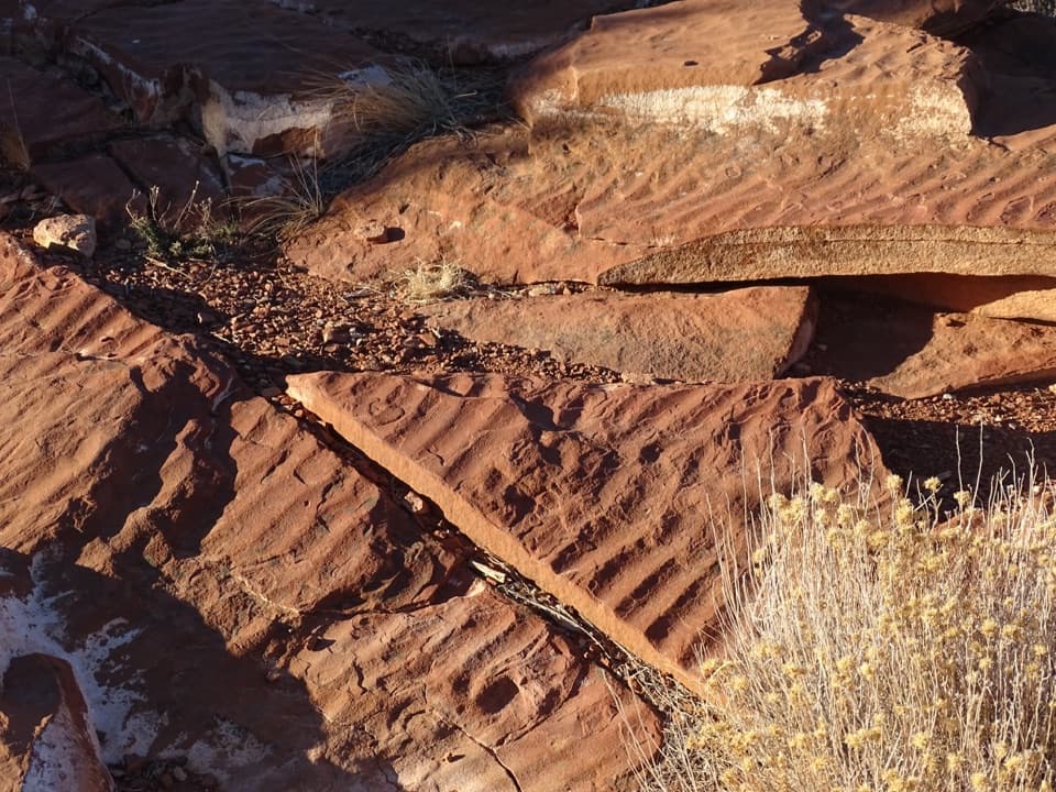
A walk above Capitol GorgeThe Tanks are natural waterpockets cupped into Navajo Sandstone above Capitol Gorge.

The Tanks are natural waterpockets cupped into Navajo Sandstone above Capitol Gorge. Follow the gorge trail past the Pioneer Register, then climb a short side canyon to reach them. This is a walk, not a roadside pullout; add it if you like geology and unusual desert life. The pools fill with rain and snowmelt but can dry out, so don’t count on seeing water. When they’re full, the largest pool’s smooth sandstone rim makes a simple frame for a photo.

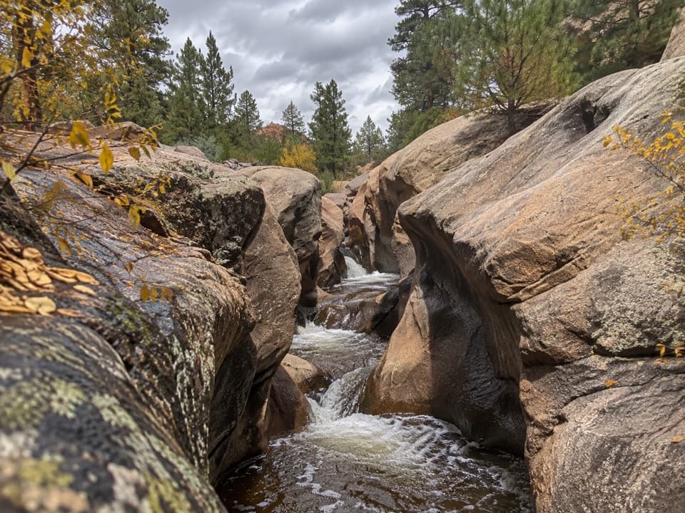
A tiny desert ecosystemFairy shrimp and tadpole shrimp live here with water boatmen, beetles, snails and other small…

Fairy shrimp and tadpole shrimp live here with water boatmen, beetles, snails and other small creatures. Fairy shrimp eggs can survive years of drought, then hatch when heavy rain refills a pool. Keep your hands and feet out of the water: sunscreen, bug spray and stirred-up sediment can harm these small communities. The best thing you can do here is look closely and leave the pools alone.

The road and the registerCapitol Gorge was the route east from Fruita.

Capitol Gorge was the route east from Fruita. Pioneer settlers cleared the road in 1883, and it remained the only road heading east for about 80 years. Flash floods repeatedly buried it in debris. Along the same route, travelers carved names and dates into the canyon wall at the Pioneer Register; adding new marks is illegal, so leave the inscriptions as they are.

Plan for a short detourStart at the Capitol Gorge trailhead off the Scenic Drive.

Start at the Capitol Gorge trailhead off the Scenic Drive. Parking, a picnic table and a vault toilet are at the trailhead, not up by the Tanks. The canyon trail is rated easy, but you still have a walk and a short climb before reaching the pools. Bring your own drinking water, and keep out of the pools.

Wildlife

Wildlife in Capitol Reef

All Capitol Reef wildlife maps

Sighting maps show where each species has been reported across Capitol Reef. Wildlife moves, so no sighting is guaranteed.

Keep exploring

Near The Tanks

See it all on the map

Trails nearby

More stops nearby

Parkwolf’s Capitol Reef ranking

Top sights in Capitol Reef

All 52 places
  1. 1Hickman BridgeSight
  2. 2Gifford HomesteadSight
  3. 3Fremont PetroglyphsSight
  4. 4Cassidy ArchSight
  5. 5Temples of the Sun and MoonSight
  6. 6Fruita OrchardsSight

Take Parkwolf to Capitol Reef.

The audio tour guide for the drive, plus offline maps, trails, and wildlife heatmaps for when the signal drops.

4.7 from 8,600+ ratings

Download Parkwolf on the App StoreGet Parkwolf on Google Play