Parking
Start at the signed Old Wagon Trail Hikers Parking pullout on the right side of Scenic Drive. It is paved and has room for about three vehicles; the park entrance fee applies beyond Fruita Campground.

Capitol Reef National Park, UT
A steady climb earns a long view over the Waterpocket Fold.
Overview
Old Wagon Trail Loop is a 3.8-mile round-trip lollipop loop from a signed pullout on Scenic Drive. A shared approach climbs Miners Mountain before the route circles back around a viewpoint on Moenkopi slabs. Allow about 2½–3 hours. The climb is steady and the tread gets rough; this is a hard hike for its distance, with about 1,080 feet of gain from roughly 5,800 to 6,900 feet.
 Parkwolf’s verdictIs this the hike for you?
Map & elevation
Plan your hike

The highest, rockiest slopes around here are a summer buffet for grizzly bears.
Capitol Reef Tour Guide
Parkwolf is a GPS audio tour guide for Capitol Reef National Park. As you drive, it chimes in with what’s ahead: hidden gems, upcoming stops, history, geology, and wildlife, right through your car’s speakers.
See the Capitol Reef audio tourRecorded for this trailhead
Old Wagon Trail“Up ahead is the Old Wagon Trail pullout, for a hard climb up Miners Mountain to a broad view of the Waterpocket Fold.”
Plays as you drive up to this trailhead in the Parkwolf Capitol Reef Tour Guide.
More stories near here in the app
“Fantastic app with many points of information… It’s great to just turn on while you’re driving and it gives you an audio tour of the national Park. We love it!!!!”


Trail guide
From the pullout, the path drops about 50 feet into a wash, then climbs west. For the first mile and a half, you gain height through pinyon and juniper while the Waterpocket Fold sits behind you and the Henry Mountains grow more prominent to the east. Around a mile in, a short descent gives your legs a break before a post marks the loop; go left to follow it clockwise.
Near two miles, another post directs you right onto the loop's final section. A short spur reaches the viewpoint. After returning to the post, follow the cairns downhill. They can blend into the rocky slope, so keep watching for them. At about three miles, the trail rejoins the uphill stem for the walk back to the pullout.
The first half is a sustained climb, briefly easing near the loop junction. Around 1.8 miles the route bends north and the view opens to cliffs, domes and surrounding mountains; the trail then levels out before the final turn. The high point is near 6,900 feet. Uneven rock and the long ascent make this more demanding than the mileage alone suggests.
The overlook sits on broad Moenkopi slabs. From there, the Waterpocket Fold spreads across the view, with Ferns Nipple and Golden Throne among the landmarks and the Henry Mountains beyond. Include some of the sloping rock in the foreground to show where the panorama opens from.
The route is associated with the Grover cut-off, a shortcut settlers built around the turn of the 20th century between their main road west of Capitol Gorge and the towns of Teasdale and Grover. Wagon ruts and blasted rock may remain. The exact claim that this rugged tread served as a wagon road is disputed, so treat the historical connection as an association rather than a certainty.
Miners Mountain is named for copper and uranium deposits. The trail crosses the Moenkopi Formation, ancient tidal and shoreline deposits laid down about 240 million years ago in the Early Triassic. The layered slabs and distant sandstone landmarks make the geology part of the payoff, not just the climb.
The paved pullout is small, with room for about three vehicles. Pets are not permitted on Capitol Reef's hiking trails. There is no water along the route, so start with what you will need.
Wildlife
 50 sightingsBighorn SheepMost seen around 6 PMSighting map
 322 sightingsMule DeerMost seen around 6 PMSighting map
 70 sightingsMarmotMost seen around 7 AMSighting map
 13 sightingsCottontail RabbitMost seen around 7 PMSighting map
 33 sightingsTurkeyMost seen around 6 AMSighting map
 14 sightingsRavenMost seen around 9 AMSighting map
Sighting maps show where each species has been reported across Capitol Reef. Wildlife moves, so no sighting is guaranteed.
Keep exploring
 EasyCapitol Gorge Trail2 mi · 1.5 hr · 2.5 mi awayFollow a sandy gorge to historic names and stone waterpockets.
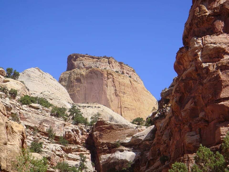 ChallengingGolden Throne Trail4 mi · 2.5 hr · 2.5 mi awayA strenuous climb to a knoll below Capitol Reef’s Golden Throne.
 ModerateLower Pleasant Creek6.8 mi · 4.5 hr · 3.1 mi awayA sandstone canyon walk that keeps sending you across the creek.
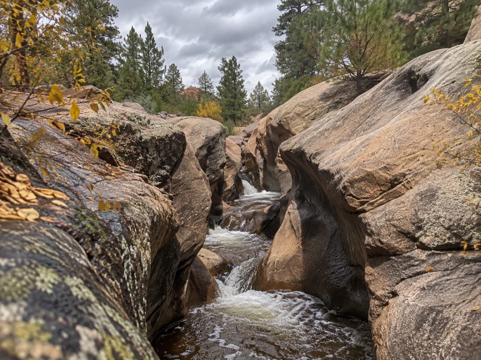 ModerateUpper Pleasant Creek Route7.6 mi · 5 hr · 3.1 mi awayWalk a narrowing creek canyon to cascades in pale sandstone.
 ChallengingCassidy Arch Trail3.4 mi · 3.5 hr · 3.3 mi awayA steep climb to a walkable arch above Grand Wash.
 EasyGrand Wash Trail4.4 mi · 3 hr · 4.4 mi awayA gentle wash walk that tightens into shadowed sandstone narrows.
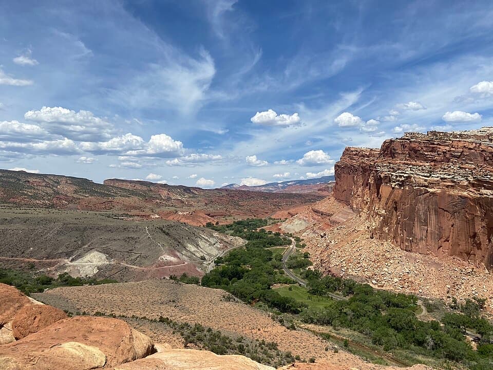 ModerateCohab Canyon Trail1.7 mi · 1.5 hr · 4.9 mi awayA steep Fruita climb opens into a sculpted sandstone canyon.
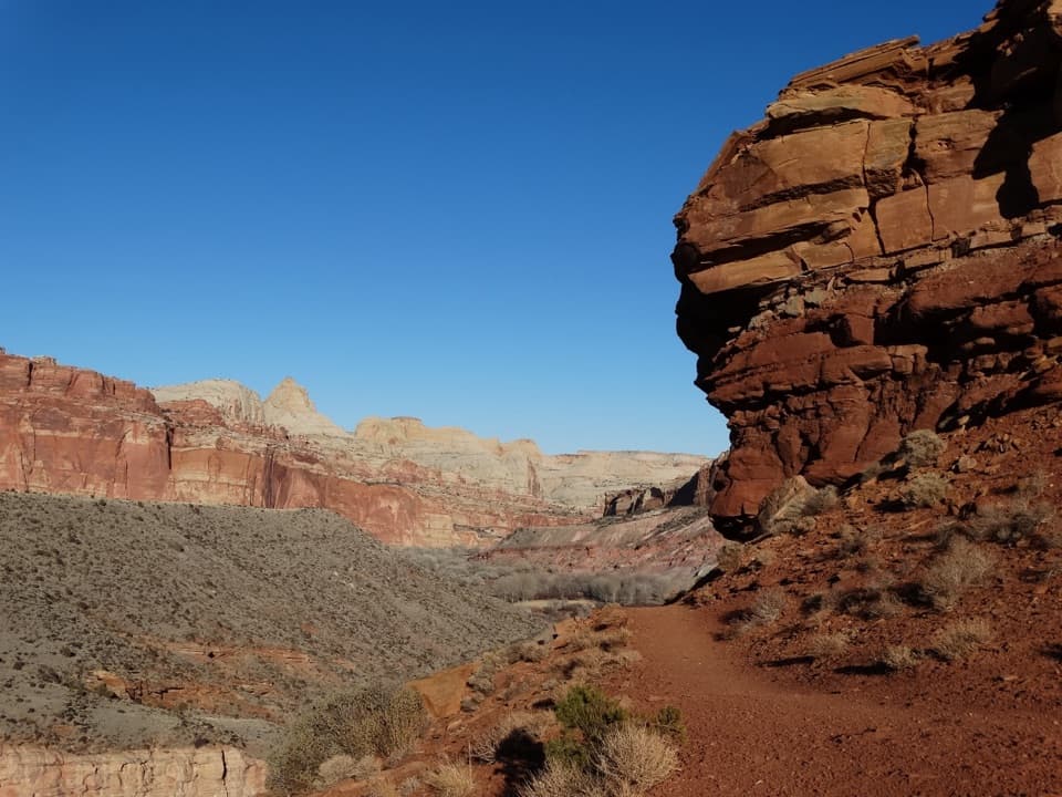 ModerateFremont River Trail2 mi · 1.5 hr · 4.9 mi awayRiver walk, a steep climb, and broad views over Fruita.
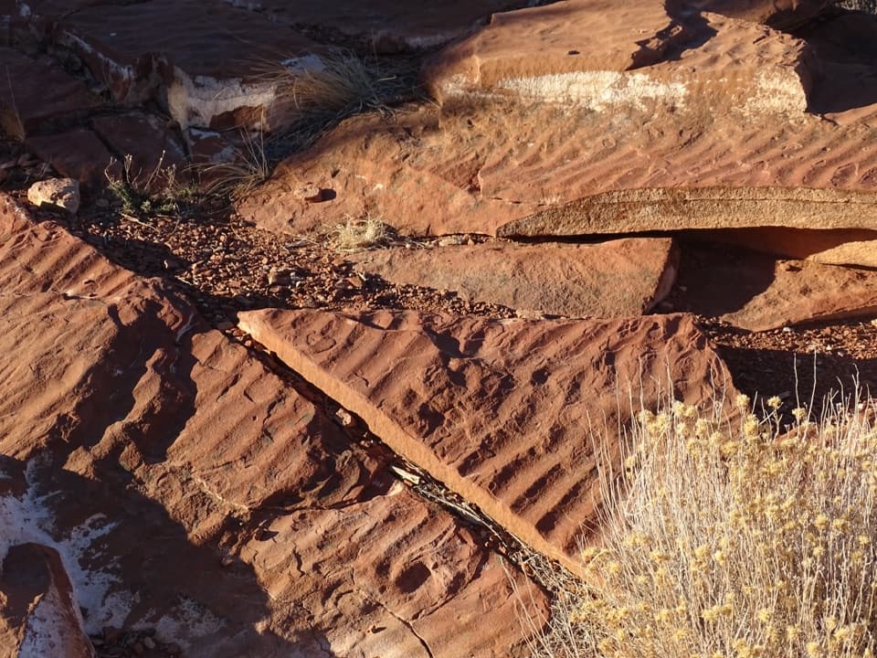 Sight · 0.6 mi awaySlickrock DivideA quick stop where ripple slabs sit on a drainage divide.
 Picnic area · 1.2 mi awayScenic Drive Picnic AreaA sheltered lunch stop at the end of the paved Scenic Drive.
 Sight · 1.4 mi awayGolden Throne ViewpointA four-mile hike to the sandstone dome above Capitol Gorge.
 Picnic area · 2.5 mi awayCapitol Gorge Picnic AreaA covered picnic stop at the start of a storied gorge walk.
 Sight · 2.8 mi awayPioneer RegisterTwo prospectors left their names here on September 20, 1871.
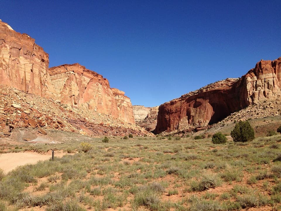 Sight · 3 mi awayOyler Mine ViewpointA quick roadside pause for Capitol Reef's uranium story.
 Sight · 3 mi awayThe TanksSmall rain-fed pools turn pale sandstone into living habitat.Sight · 3.1 mi awayCassidy ArchWalk across a sandstone arch with Grand Wash far below.
Parkwolf’s Capitol Reef ranking
The audio tour guide for the drive, plus offline maps, trails, and wildlife heatmaps for when the signal drops.


