Grand Wash Trail in Capitol Reef National Park

#3 of 48 trails in Capitol Reef

Capitol Reef National Park, UT

Grand Wash Trail

A gentle wash walk that tightens into shadowed sandstone narrows.

Photo: CC BY-SA 2.0
Length
4.4mi
Time
3hr
Elev. change
213ft
Difficulty
Easy
  • No dogs
  • High point 5,420 ft

Hear the audio tour

Grand Wash Narrows

Overview

About Grand Wash Trail

Why go

  • Easy grade through tall, twisting sandstone narrows
  • A satisfying shorter turnaround is available before the full corridor ends

Heads up

  • Loose sand and rock make the easy wash bed uneven
  • Flash-flood risk can make weather the deciding factor

Map & elevation

The route

Loading the Capitol Reef map
Full map
Elevation5,207–5,420 ft
TrailheadGrand Wash Trailhead (UT-24)38.27823, -111.19248
Keep this map with you offline in the Parkwolf app

Plan your hike

Before you go

Parking

Start at the Grand Wash Trailhead pull-off on UT-24 at the east end. A one-way hike to the Scenic Drive side needs a second vehicle at the Grand Wash-Cassidy Arch Trailhead; the Grand Wash access road can close after snow, ice, mud, or flooding.

Safety

This narrow, high-walled wash is exposed to flash floods. Stay out when storms threaten upstream and move to high ground if water rises. There is no water source along the route.

2 active Capitol Reef alerts

  • CautionFlash-flood hazard in canyons and washesHeavy rains can cause sudden flooding in Capitol Reef’s canyons and washes; do not hike or drive through floodwater.Official details
  • CautionE. coli advisory for Fremont River and Sulphur CreekDo not swim in the Fremont River or Sulphur Creek or get water in your mouth: NPS reports elevated E. coli in both waterways, and Utah DEQ has issued a warning advisory. - DEQ reports Sulphur Creek E.Official details
Capitol Reef alerts
A park ranger sits on a dash-mounted phone, talking, as Parkwolf’s Tour Guide plays “Army Cutworm Moths: A Grizzly Bear Buffet” on Grand Loop Road below Dunraven Pass in Yellowstone
Parkwolf Tour GuideThe highest, rockiest slopes around here are a summer buffet for grizzly bears.

Capitol Reef Tour Guide

Your drive to Grand Wash Trail, narrated.

Parkwolf is a GPS audio tour guide for Capitol Reef National Park. As you drive, it chimes in with what’s ahead: hidden gems, upcoming stops, history, geology, and wildlife, right through your car’s speakers.

See the Capitol Reef audio tour

Recorded for this trailhead

Grand Wash Narrows
0:00 / 0:28
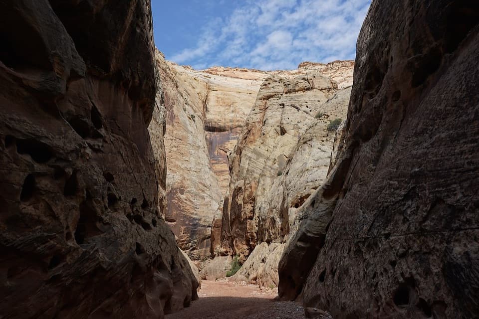
“You're nearing the Highway 24 trailhead for Grand Wash Narrows, where sandstone walls close to about fifteen feet apart.”

Plays as you drive up to this trailhead in the Parkwolf Capitol Reef Tour Guide.

More stories near here in the app

  • A Coating on the Cliffs
  • Behunin Cabin
  • Cassidy Arch
  • Navajo Dome Viewpoint
  • 116 audio storiesacross Capitol Reef’s roads, triggered by GPS as you drive
  • Wildlife heatmapsfor Bighorn Sheep, Mule Deer, Marmot, and 13 more
  • Works offlinemaps, 48 trails, 52 places, and audio download before you lose signal
  • CarPlay readysimple controls built for the drive
★★★★★
“Fantastic app with many points of information… It’s great to just turn on while you’re driving and it gives you an audio tour of the national Park. We love it!!!!”
JMJamesApp Store review
Download Parkwolf on the App StoreGet Parkwolf on Google Play

4.7 from 8,600+ ratings

Trail guide

Hiking Grand Wash Trail

Walk the full canyonGrand Wash Trail follows an easy, mostly level wash between UT-24 and the Scenic Drive side of…

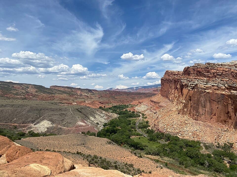
Grand Wash Trail follows an easy, mostly level wash between UT-24 and the Scenic Drive side of Capitol Reef. The full corridor is listed at 2.2 miles one way, so walking from the UT-24 trailhead to the far end and back is about 4.4 miles. Allow around three hours for the round trip, including time in the narrows. The grade is gentle, though loose sand, gravel, and rock make it slower than a paved path.

Turn around at the narrowsFrom UT-24, the canyon tightens after about 1.3 miles. A shorter roughly 2.

From UT-24, the canyon tightens after about 1.3 miles. A shorter roughly 2.6-mile out-and-back reaches the narrow passage and returns the same way; most of the full-trail payoff comes before you have to commit to the other end of the wash.

From open wash to tight bendsThe broad wash gradually pinches into winding narrows, with sheer sandstone walls about 15 feet…

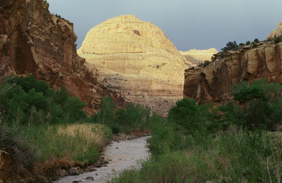
The broad wash gradually pinches into winding narrows, with sheer sandstone walls about 15 feet apart at the tightest point. Continue west and the canyon widens again near the Scenic Drive side. The wash bed is the trail, so expect sand, dust, and loose rock underfoot rather than a packed tread. In the narrows, frame a bend in the wash beneath the full-height walls to show their scale.

Watch the weatherGrand Wash is a flash-flood channel.

Grand Wash is a flash-flood channel. Rain falling upstream can send water through the narrow walls, where there is little room to get out of the wash. Avoid entering when storms threaten and move to high ground if water rises. There is no water source along the route, and the open approach has little shade.

Wingate sandstoneThe tall canyon walls are Wingate Sandstone.

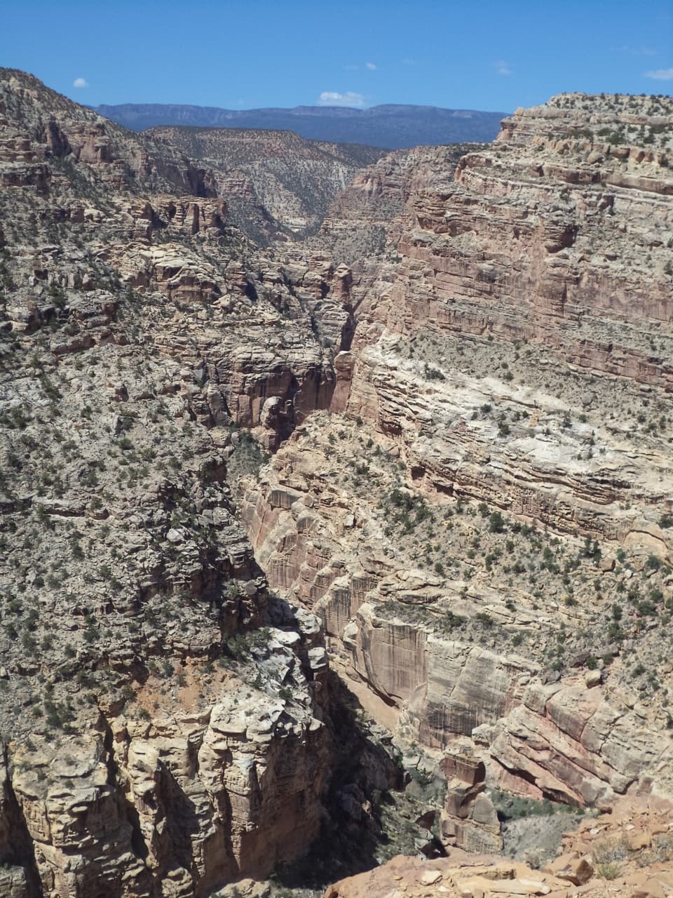
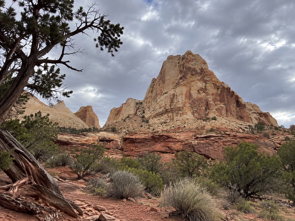
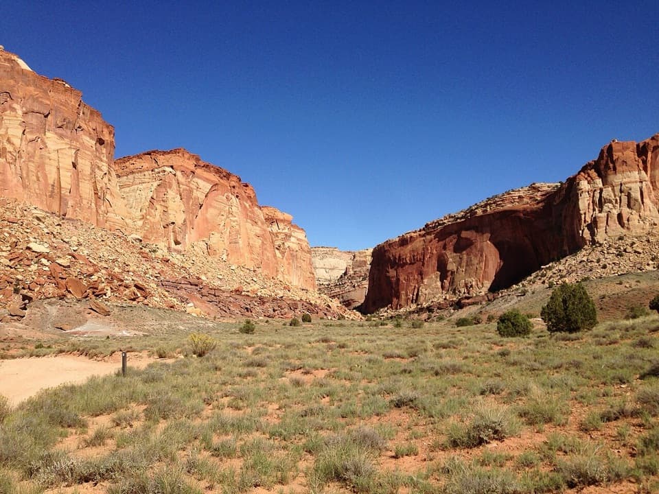
The tall canyon walls are Wingate Sandstone. Their sweeping cross-beds preserve the shape of ancient windblown dunes, exposed here where erosion cut down through the rock.

Mine portals and CassidyNear the Grand Wash mouth, gated openings mark the abandoned Oyler Uranium Mine, which opened…

Near the Grand Wash mouth, gated openings mark the abandoned Oyler Uranium Mine, which opened in 1901 when uranium was used in some patent medicines. Cassidy Arch, on the canyon wall above the wash, carries Butch Cassidy's name; he is thought to have hidden in Grand Wash.

Choosing an accessFor the return walk, use the Grand Wash Trailhead pull-off on UT-24 at the east end.

For the return walk, use the Grand Wash Trailhead pull-off on UT-24 at the east end. A one-way hike to the Scenic Drive side needs a second vehicle at the Grand Wash-Cassidy Arch Trailhead. The access road can close after snow, mud, ice, or flooding, so check conditions before staging a shuttle. Pets are not allowed on park trails.

Wildlife

Wildlife in Capitol Reef

All Capitol Reef wildlife maps

Sighting maps show where each species has been reported across Capitol Reef. Wildlife moves, so no sighting is guaranteed.

Keep exploring

Near Grand Wash Trail

See it all on the map

Trails that start nearby

Places near the trailhead

Parkwolf’s Capitol Reef ranking

Top-rated trails in Capitol Reef

All 48 trails
  1. 1Hickman Bridge TrailModerate · 1.8 mi
  2. 2Cassidy Arch TrailChallenging · 3.4 mi
  3. 4Capitol Gorge TrailEasy · 2 mi
  4. 5Navajo Knobs TrailChallenging · 9.4 mi
  5. 6Rim Overlook TrailChallenging · 4.6 mi
  6. 7Cohab Canyon TrailModerate · 1.7 mi

Take Parkwolf to Capitol Reef.

The audio tour guide for the drive, plus offline maps, trails, and wildlife heatmaps for when the signal drops.

4.7 from 8,600+ ratings

Download Parkwolf on the App StoreGet Parkwolf on Google Play