Lower Pleasant Creek in Capitol Reef National Park

Capitol Reef National Park, UT

Lower Pleasant Creek

A sandstone canyon walk that keeps sending you across the creek.

Length
6.8mi
Time
4.5hr
Elev. change
325ft
Difficulty
Moderate
  • No dogs
  • High point 5,928 ft

Hear the audio tour

Lower Pleasant Creek

Overview

About Lower Pleasant Creek

Why go

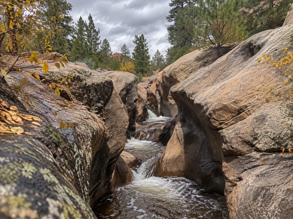
  • A year-round creek cuts through colorful sandstone, with a red slickrock chute and cottonwoods.
  • The route passes a cottonwood grove, a narrow chute and a low sandstone saddle.

Heads up

  • Faint informal paths and frequent crossings make route-finding part of the hike.
  • The final approach uses an unpaved road that sometimes needs high clearance.

Map & elevation

The route

Loading the Capitol Reef map
Full map
Elevation5,604–5,928 ft
TrailheadPleasant Creek Road parking area38.18039, -111.18087
Keep this map with you offline in the Parkwolf app

Plan your hike

Before you go

Parking

Use the small parking area at the end of Pleasant Creek Road, 2.8 miles beyond the paved Scenic Drive; a vault toilet is here. The unpaved access sometimes requires high clearance, so check road conditions with the visitor center before driving. Do not continue on rugged South Draw Road.

Safety

Frequent creek crossings may require wading. Flash floods are a serious hazard: do not hike if rain is possible. Bring drinking water; do not drink from Pleasant Creek or fully submerge because E. coli can occur. The route is informal and navigation can be difficult. Turn around at the fence before private property. Pets are prohibited on park trails and in off-trail/backcountry areas.

2 active Capitol Reef alerts

  • CautionFlash-flood hazard in canyons and washesHeavy rains can cause sudden flooding in Capitol Reef’s canyons and washes; do not hike or drive through floodwater.Official details
  • CautionE. coli advisory for Fremont River and Sulphur CreekDo not swim in the Fremont River or Sulphur Creek or get water in your mouth: NPS reports elevated E. coli in both waterways, and Utah DEQ has issued a warning advisory. - DEQ reports Sulphur Creek E.Official details
Capitol Reef alerts
A park ranger sits on a dash-mounted phone, talking, as Parkwolf’s Tour Guide plays “Army Cutworm Moths: A Grizzly Bear Buffet” on Grand Loop Road below Dunraven Pass in Yellowstone
Parkwolf Tour GuideThe highest, rockiest slopes around here are a summer buffet for grizzly bears.

Capitol Reef Tour Guide

Your drive to Lower Pleasant Creek, narrated.

Parkwolf is a GPS audio tour guide for Capitol Reef National Park. As you drive, it chimes in with what’s ahead: hidden gems, upcoming stops, history, geology, and wildlife, right through your car’s speakers.

See the Capitol Reef audio tour

Recorded for this trailhead

Lower Pleasant Creek
0:00 / 0:28
“Pleasant Creek's trailhead is coming up, where the lower canyon offers cottonwoods, colorful sandstone walls, and a red slickrock chute. Allow four to five hours for the roughly six-point-eight-mile return walk.”

Plays as you drive up to this trailhead in the Parkwolf Capitol Reef Tour Guide.

More stories near here in the app

  • The Fish That Scrape the Rocks
  • The Coyote’s Contact Calls
  • Capitol Gorge and Pioneer Register
  • The Surveyors’ Erosion Prank
  • 116 audio storiesacross Capitol Reef’s roads, triggered by GPS as you drive
  • Wildlife heatmapsfor Bighorn Sheep, Mule Deer, Marmot, and 13 more
  • Works offlinemaps, 48 trails, 52 places, and audio download before you lose signal
  • CarPlay readysimple controls built for the drive
★★★★★
“Fantastic app with many points of information… It’s great to just turn on while you’re driving and it gives you an audio tour of the national Park. We love it!!!!”
JMJamesApp Store review
Download Parkwolf on the App StoreGet Parkwolf on Google Play

4.7 from 8,600+ ratings

Trail guide

Hiking Lower Pleasant Creek

The canyon walkLower Pleasant Creek is an informal 6.

Lower Pleasant Creek is an informal 6.8-mile out-and-back from Pleasant Creek Road to a fence near the park's east boundary and back. The sandy banks and streamside paths are faint in places, and the creek repeatedly interrupts them, so route-finding and crossings make this more demanding than the gentle elevation profile suggests. Allow about four to five hours for the walk and stops. The route corridor on the map is about 3.3 miles each way; the actual path shifts as you choose crossings, so treat the total as an estimate.

Follow the creek eastStart on the footpath east of the parking area. At about 0.

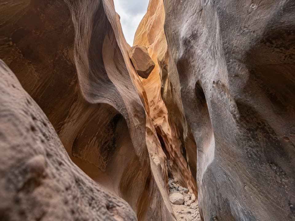
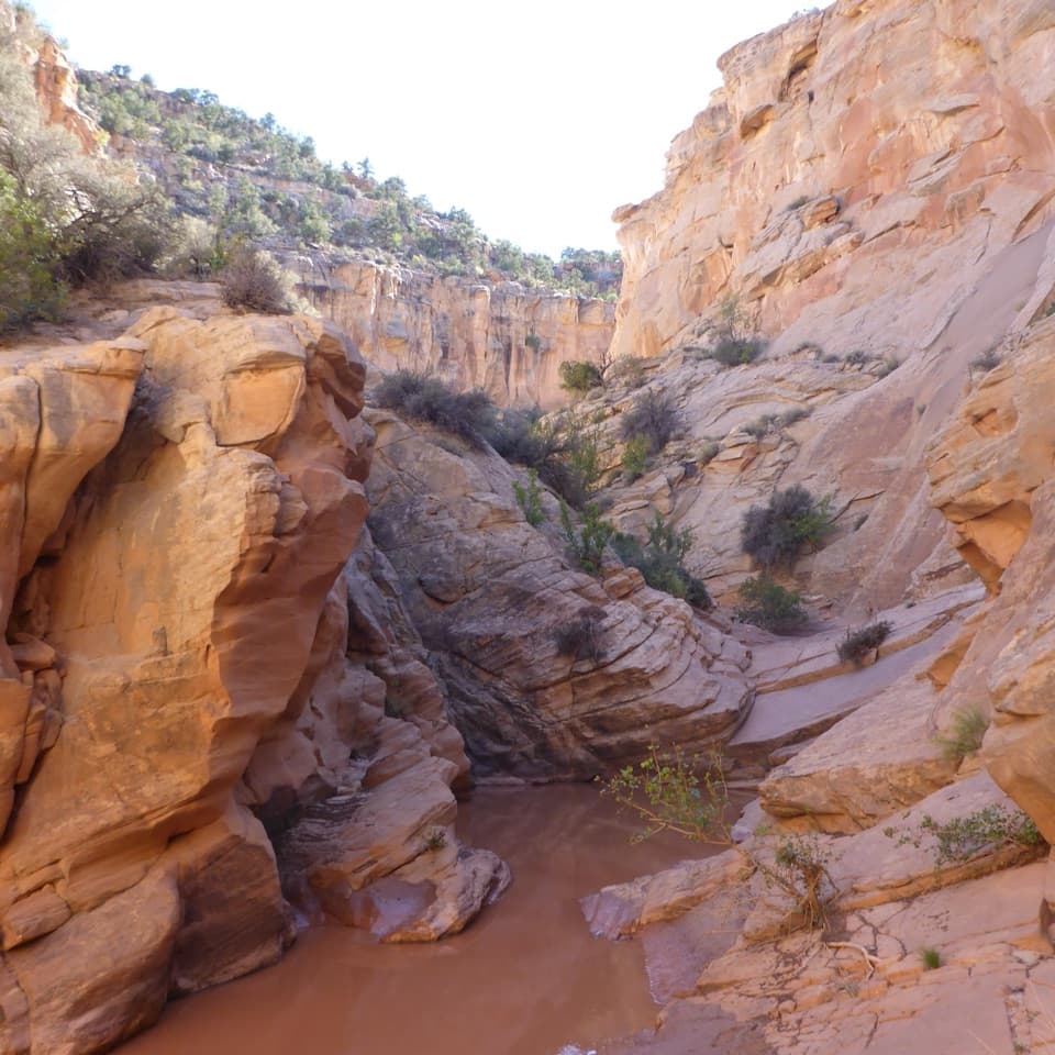
Start on the footpath east of the parking area. At about 0.3 mile, cross to the south side near a tall cottonwood grove, then follow sandy benches and streambanks, crossing whenever the canyon's walls or bends require it. Around 2.1 miles, Pleasant Creek runs over slickrock through a short red-sandstone chute. About a quarter mile later the canyon opens and a side canyon enters from the south; explore it only until obstacles stop you. Roughly half a mile farther on, a low sandstone saddle beside the north wall bypasses a large bend. Drop back to the creek and continue to the fence at about 3.4 miles. Turn around there: private property lies just beyond it. Return the same way.

Crossings, water, and weatherExpect numerous crossings.

Expect numerous crossings. Some can be rock-hopped, but wading may be necessary, and the number and best crossing points change with the route you find along the banks. This is a year-round stream canyon with a serious flash-flood hazard: do not go if rain is possible. Bring all drinking water; bacteria such as E. coli can occur in the creek, so do not drink it or fully submerge yourself. The informal tread can fade, so carry a map and be ready to retrace your route rather than following an uncertain track toward private land.

Getting to the startThe small parking area and vault toilet are at the end of Pleasant Creek Road, 2.

The small parking area and vault toilet are at the end of Pleasant Creek Road, 2.8 miles beyond the paved Scenic Drive. The unpaved access sometimes requires a high-clearance vehicle; check road conditions with the visitor center before setting out. Stop at the parking area and do not continue onto rugged South Draw Road. There is no food or potable water listed at the trailhead. Pets are not allowed on park trails or in off-trail and backcountry areas.
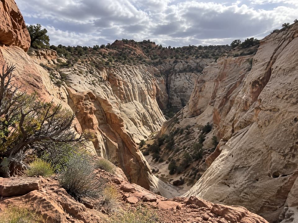
Sandstone and cottonwoodsThe red slickrock chute is the route's most distinctive narrow passage.

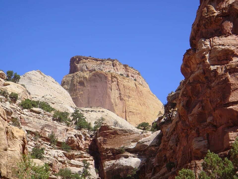
The red slickrock chute is the route's most distinctive narrow passage. The canyon walls change color and character along the creek, with red Wingate, ledgy Kayenta, and paler Navajo sandstone described through the lower canyon. The first crossing's cottonwoods can turn yellow-orange in fall. Around mid-October, ranchers may move cattle through the canyon; give a herd plenty of room. For a photo, frame the creek against the sandstone walls, with some bank or vegetation in the foreground to show the scale of the canyon.

Wildlife

Wildlife in Capitol Reef

All Capitol Reef wildlife maps

Sighting maps show where each species has been reported across Capitol Reef. Wildlife moves, so no sighting is guaranteed.

Keep exploring

Near Lower Pleasant Creek

See it all on the map

Trails that start nearby

Places near the trailhead

Parkwolf’s Capitol Reef ranking

Top-rated trails in Capitol Reef

All 48 trails
  1. 1Hickman Bridge TrailModerate · 1.8 mi
  2. 2Cassidy Arch TrailChallenging · 3.4 mi
  3. 3Grand Wash TrailEasy · 4.4 mi
  4. 4Capitol Gorge TrailEasy · 2 mi
  5. 5Navajo Knobs TrailChallenging · 9.4 mi
  6. 6Rim Overlook TrailChallenging · 4.6 mi

Take Parkwolf to Capitol Reef.

The audio tour guide for the drive, plus offline maps, trails, and wildlife heatmaps for when the signal drops.

4.7 from 8,600+ ratings

Download Parkwolf on the App StoreGet Parkwolf on Google Play