Upper South Desert Overlook in Capitol Reef National Park

Sight · Capitol Reef National Park

Upper South Desert Overlook

A rocky rise opens a 360-degree view over South Desert.

Photo: Wikimedia Commons
Type
Sight
Nearest trail
0.2 mi
Audio stories
6 nearby
  • Scenic viewpoint
  • Parking

Hear the audio tour

Upper South Desert Overlook

Overview

About Upper South Desert Overlook

Why stop

  • A true 360-degree view over South Desert and surrounding cliffs.

Heads up

  • The rough approach and river ford make this a committed backcountry stop.
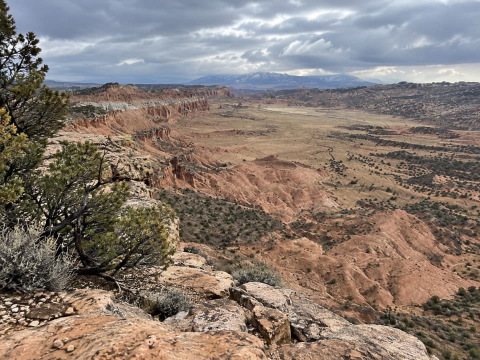
Upper South Desert Overlook is a short backcountry walk to a rocky outcrop at the north end of South Desert. From the top, the valley opens into a 360-degree panorama, with steep cliffs to the north and the Henry Mountains to the east. It makes sense as part of a Cathedral Valley day; the rough approach is too much for a casual hop off Highway 24.
Parkwolf’s verdictIs the drive worth it?

Map

Where it is

Loading the Capitol Reef map
Full map
SightUpper South Desert Overlook38.47033, -111.35331
Keep this map with you offline in the Parkwolf app

Plan your stop

Before you go

2 active Capitol Reef alerts

  • CautionE. coli advisory for Fremont River and Sulphur CreekMentions Fremont River, referenced in this guideDo not swim in the Fremont River or Sulphur Creek or get water in your mouth: NPS reports elevated E. coli in both waterways, and Utah DEQ has issued a warning advisory. - DEQ reports Sulphur Creek E.Official details
  • CautionFlash-flood hazard in canyons and washesHeavy rains can cause sudden flooding in Capitol Reef’s canyons and washes; do not hike or drive through floodwater.Official details
Capitol Reef alerts
A park ranger sits on a dash-mounted phone, talking, as Parkwolf’s Tour Guide plays “Army Cutworm Moths: A Grizzly Bear Buffet” on Grand Loop Road below Dunraven Pass in Yellowstone
Parkwolf Tour GuideThe highest, rockiest slopes around here are a summer buffet for grizzly bears.

Capitol Reef Tour Guide

Your drive to Upper South Desert Overlook, narrated.

Parkwolf is a GPS audio tour guide for Capitol Reef National Park. As you drive, it chimes in with what’s ahead: hidden gems, upcoming stops, history, geology, and wildlife, right through your car’s speakers.

See the Capitol Reef audio tour

Recorded for this place

Upper South Desert Overlook
0:00 / 0:26
“You're nearing Upper South Desert Overlook, a short climb for a view along the valley and out to the Henry Mountains. Allow about half an hour for the four-tenths-of-a-mile round trip, with a steep final pitch.”

Plays as you drive up to Upper South Desert Overlook in the Parkwolf Capitol Reef Tour Guide.

More stories near here in the app

  • Upper Cathedral Valley Overlook
  • Cathedral Valley Campground
  • The Beetles Behind Brown Tamarisk
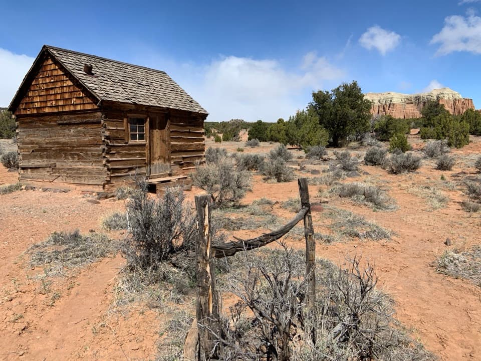
  • Lesley Morrell Line Cabin
  • 116 audio storiesacross Capitol Reef’s roads, triggered by GPS as you drive
  • Wildlife heatmapsfor Bighorn Sheep, Mule Deer, Marmot, and 13 more
  • Works offlinemaps, 48 trails, 52 places, and audio download before you lose signal
  • CarPlay readysimple controls built for the drive
★★★★★
“Fantastic app with many points of information… It’s great to just turn on while you’re driving and it gives you an audio tour of the national Park. We love it!!!!”
JMJamesApp Store review
Download Parkwolf on the App StoreGet Parkwolf on Google Play

4.7 from 8,600+ ratings

Guide

More about Upper South Desert Overlook

Getting to the outcropThe turnoff is about 27 miles from Highway 24 along unpaved Hartnet Road, then a short spur…

The turnoff is about 27 miles from Highway 24 along unpaved Hartnet Road, then a short spur leads to the walk. The path starts across easier ground and climbs steeply near the end. Hartnet and Cathedral Valley roads require high clearance, and four-wheel drive is often recommended. The direct Hartnet approach from Highway 24 also has an unbridged Fremont River ford. Check road, weather, and ford conditions before committing; bentonite clay can turn impassable when wet, and there is no potable water in Cathedral Valley.

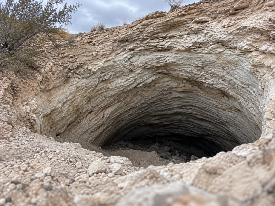
Expect a short out-and-back with a steep finish; the exact distance depends on which viewing ledge you visit. Pets are not allowed on the path or in backcountry areas. The ridge is cut by deep fissures. For a photo, keep some of the broken rock in the foreground; it shows the edge and scale of the overlook.

What the panorama includesThe upper South Desert spreads below, bordered by steep cliffs on its north side.

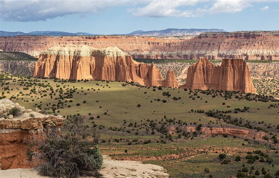
The upper South Desert spreads below, bordered by steep cliffs on its north side. Henry Mountains rise to the east. On clear days, the distant view also reaches Factory Butte and Acklin Peak to the southwest, with Thousand Lake Mountain and the cliffs of Upper Cathedral Valley to the northwest. Look closely at the orange cliffs: their faces are fluted and streaked, and dark volcanic dikes cut through layers farther southwest.

The valley beside the FoldSouth Desert is a long, narrow valley that runs parallel to the Waterpocket Fold.

South Desert is a long, narrow valley that runs parallel to the Waterpocket Fold. From its upper end, the overlook gives you a broad view into that landscape rather than a single close-up formation. Cathedral Valley's bentonite hills are made from altered volcanic ash in Jurassic-age shale; when wet, the clay becomes slick and gummy, which is why weather can change the drive so quickly.

Why it's called Cathedral ValleyThe valley was named in 1945 by Frank Beckwith and Charles Kelly.

The valley was named in 1945 by Frank Beckwith and Charles Kelly. Its tall, upward-sweeping formations reminded them of Gothic and Egyptian architecture, a description that makes sense once you see how the cliffs rise above the open desert.

Wildlife

Wildlife in Capitol Reef

All Capitol Reef wildlife maps

Sighting maps show where each species has been reported across Capitol Reef. Wildlife moves, so no sighting is guaranteed.

Parkwolf’s Capitol Reef ranking

Top sights in Capitol Reef

All 52 places
  1. 1Hickman BridgeSight
  2. 2Gifford HomesteadSight
  3. 3Fremont PetroglyphsSight
  4. 4Cassidy ArchSight
  5. 5Temples of the Sun and MoonSight
  6. 6Fruita OrchardsSight

Take Parkwolf to Capitol Reef.

The audio tour guide for the drive, plus offline maps, trails, and wildlife heatmaps for when the signal drops.

4.7 from 8,600+ ratings

Download Parkwolf on the App StoreGet Parkwolf on Google Play