Parking
Use the road-side pullout by the Cathedrals Trail sign on Cathedral Road, 2.4 miles north of the Hartnet Road junction.

Capitol Reef National Park, UT
A short climb opens a front-row view of the Cathedrals.
Overview
Map & elevation
Plan your hike

The highest, rockiest slopes around here are a summer buffet for grizzly bears.
Capitol Reef Tour Guide
Parkwolf is a GPS audio tour guide for Capitol Reef National Park. As you drive, it chimes in with what’s ahead: hidden gems, upcoming stops, history, geology, and wildlife, right through your car’s speakers.
See the Capitol Reef audio tourRecorded for this trailhead
Cathedrals Trail“You're coming up on the Cathedrals trailhead, where a ridge walk runs beside the sandstone towers. Allow one to two hours for the two-point-four-mile round trip, with a short, steep climb before the gentler ridge.”
Plays as you drive up to this trailhead in the Parkwolf Capitol Reef Tour Guide.
More stories near here in the app
“Fantastic app with many points of information… It’s great to just turn on while you’re driving and it gives you an audio tour of the national Park. We love it!!!!”


Trail guide
Cathedrals Trail is a 2.4-mile round-trip out-and-back along a low ridge parallel to Cathedral Valley’s line of sandstone monoliths. Allow 1–2 hours. The park rates it easy, though the route starts with a short, steep climb; most of the ridge is gentler, and a small hill at the end opens a broad view over Upper Cathedral Valley.
A small wooden sign marks the start on Cathedral Road. The trail climbs steeply at first; junipers and basalt boulders line the opening pitch. Once you’re on the ridge, the walk settles down and runs west beside the Cathedrals. The first clearing gives you a look at the towers, and the gaps between them keep changing the view as you go. The distance above includes the return over the same line.
This is an unmaintained backcountry route, not a formal maintained trail. The tread can be faint, and cairns may be missing or misleading. It’s a good short walk if you’re comfortable reading a map and finding your way in open country.
The ridge looks across a peach-colored gully toward Jones Bench. At the far end, the route curves around a small rise and climbs to a grassy knoll with a 360-degree panorama of Upper Cathedral Valley. The Hartnet escarpment and its switchback road lie to the south; distant Thousand Lake and Fishlake mountains fill the western horizon. Stop at the first clearing as well as at the end. For a photo, leave some of the ridge and its junipers in the foreground so the towers have a sense of scale.
Needle Mountain exposes a thick face of Entrada sandstone without the green-gray Curtis cap seen on Cathedral Mountain. That difference helps pick the two formations out from the ridge. The Cathedrals’ tall, separate shapes stand above a broad desert of layered slopes and volcanic crags.
The trailhead is on Cathedral Road, 2.4 miles north of the Hartnet Road junction and 27.4 miles from Highway 24 by the north approach. Cathedral and Hartnet roads need high-clearance vehicles; four-wheel drive is often recommended. Deep sand and wet clay can stop the drive, and the Hartnet approach from Highway 24 crosses the Fremont River without a bridge. The park recommends spring and fall for Cathedral Valley. There’s no potable water in the district, and dogs are prohibited on trails.
Wildlife
 50 sightingsBighorn SheepMost seen around 6 PMSighting map
 322 sightingsMule DeerMost seen around 6 PMSighting map
 70 sightingsMarmotMost seen around 7 AMSighting map
 13 sightingsCottontail RabbitMost seen around 7 PMSighting map
 33 sightingsTurkeyMost seen around 6 AMSighting map
 14 sightingsRavenMost seen around 9 AMSighting map
Sighting maps show where each species has been reported across Capitol Reef. Wildlife moves, so no sighting is guaranteed.
Keep exploring
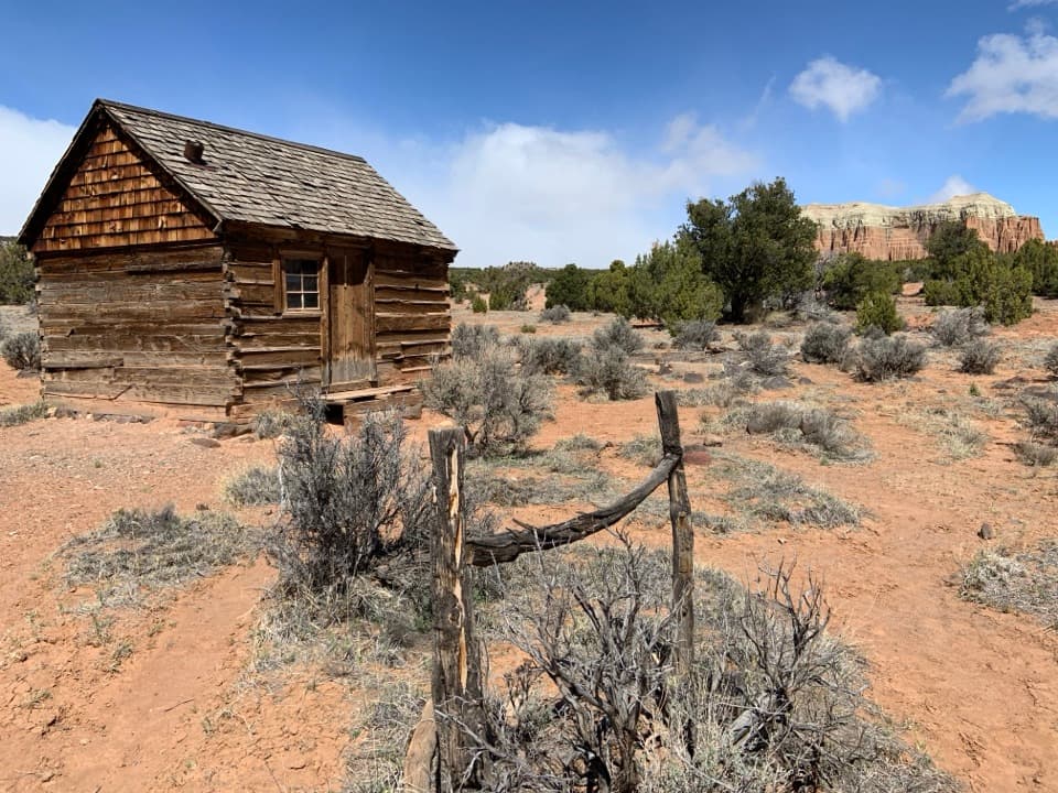 EasyMorrell Cabin Trail0.4 mi · 20 min · 0.5 mi awayA short old-road walk to a remote ranching cabin.
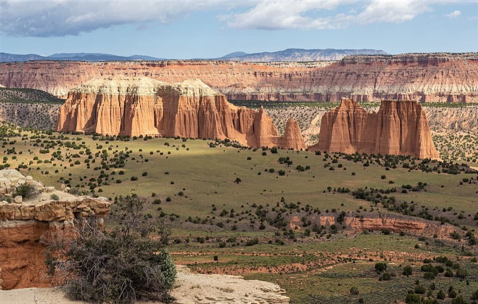 EasyUpper Cathedral Valley Overlook0.2 mi · 24 min · 0.8 mi awayA short, rolling path ends at the Cathedrals panorama.
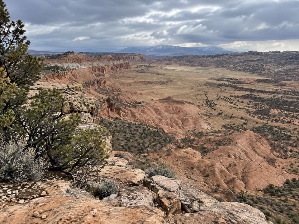 ModerateUpper South Desert Overlook0.4 mi · 24 min · 1 mi awayA brief climb opens onto a 360-degree desert view
 EasyGypsum Sinkhole Trail0.1 mi · 15 min · 2 mi awayA short walk to a sinkhole nearly 200 feet deep.
 ModerateLower Cathedral Valley Overlooks Route1.7 mi · 1.5 hr · 8.9 mi awayA rough 1.7-mile climb to a high view of the Temples
 ModerateJailhouse Rock and Temple Rock Route4.5 mi · 2.5 hr · 9.8 mi awayFollow a fading desert track to a Temple Rock viewpoint.
 EasyLower South Desert Overlook Trail0.6 mi · 20 min · 10 mi awayA short rim walk for a broad look at Jailhouse Rock.
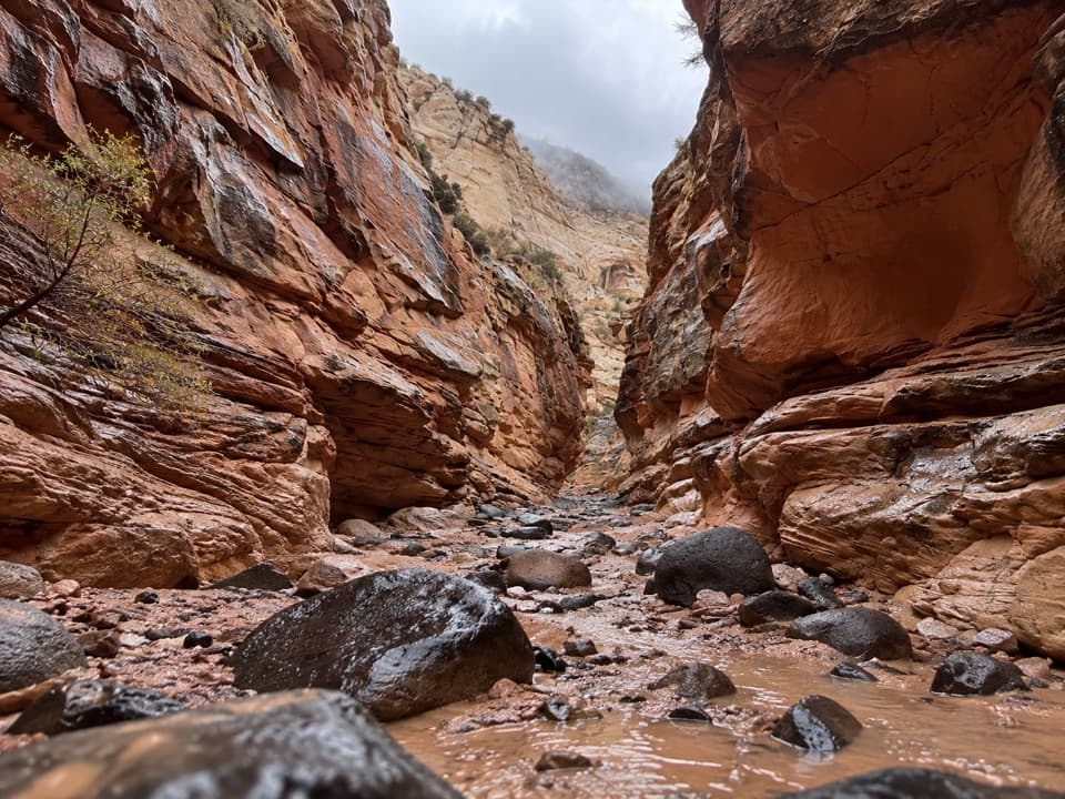 ChallengingUpper Spring Canyon18.7 mi · 16 hr · 11.3 mi awayRemote traverse through Wingate narrows and a boulder filled wash.Sight · 0.7 mi awayLesley Morrell Line CabinA relocated ranching cabin and corral in remote Cathedral Valley.Sight · 0.8 mi awayUpper Cathedral Valley OverlookA short rim walk above Cathedral Valley’s sandstone cathedrals.
 Campground · 1.2 mi awayCathedral Valley CampgroundA quiet six-site base for the long Cathedral Valley loop.
 Sight · 1.2 mi awayUpper South Desert OverlookA rocky rise opens a 360-degree view over South Desert.
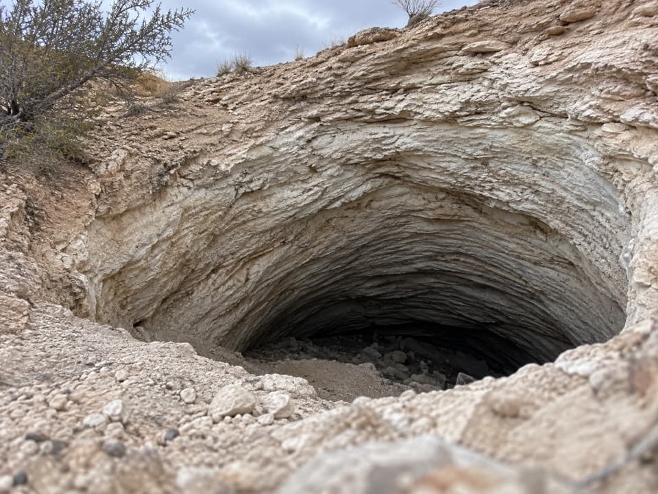 Sight · 2 mi awayGypsum SinkholeA 200-foot sinkhole worth adding to a Cathedral Valley loop.Sight · 8.9 mi awayLower Cathedral Valley OverlooksA rough walk for a rare bird’s-eye view of Capitol Reef’s temples.
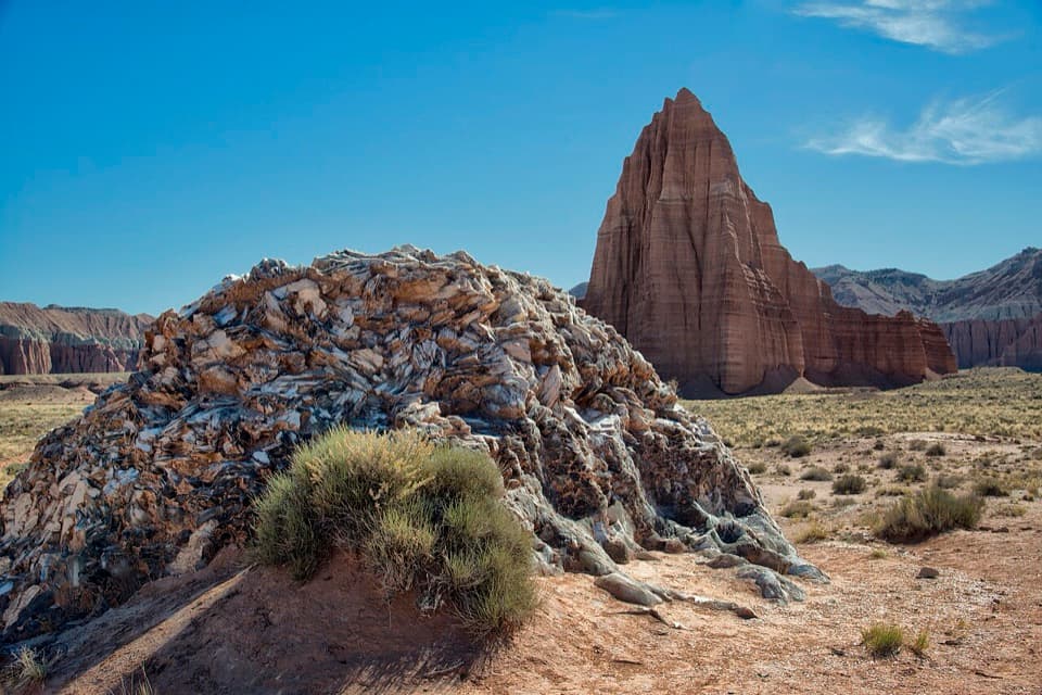 Sight · 9 mi awayGlass MountainA 15-foot crystal mound framed by Temple of the Sun.
 Sight · 9.1 mi awayTemples of the Sun and MoonTwo sandstone towers make the long Cathedral Valley drive worthwhile.
Parkwolf’s Capitol Reef ranking

The audio tour guide for the drive, plus offline maps, trails, and wildlife heatmaps for when the signal drops.





