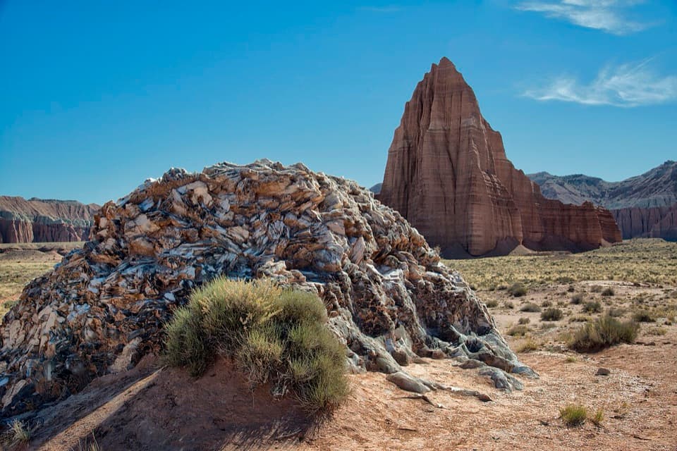
Upper Cathedral Valley Overlook in Capitol Reef National Park

Capitol Reef National Park, UT

Upper Cathedral Valley Overlook

A short, rolling path ends at the Cathedrals panorama.

Photo: Wikimedia Commons
Length
0.2mi
Time
24min
Elev. change
42ft
Difficulty
Easy
  • No dogs
  • High point 6,894 ft

Hear the audio tour

Upper Cathedral Valley Overlook

Overview

About Upper Cathedral Valley Overlook

Why go

  • A broad panorama of the Cathedrals for less than half an hour of walking.
  • A simple stop to add to a Cathedral District drive.

Heads up

  • The rough remote access is far more demanding than the short walk.
  • Unmaintained tread and the exposed rim call for careful route-finding.

Map & elevation

The route

Loading the Capitol Reef map
Full map
Elevation6,852–6,894 ft
TrailheadUpper Cathedral Valley Overlook trailhead38.47669, -111.35788
Keep this map with you offline in the Parkwolf app

Plan your hike

Before you go

Parking

A pullout is mapped at the end of the dirt spur that leaves Hartnet Road and heads north about 0.3 mile to the trailhead. The approach from Highway 24 is roughly 28 road miles; published mileage uses slightly different reference points. Parking capacity, fee, and toilet facilities were not confirmed.

Safety

The Cathedral District routes are not maintained, and informal markers may be absent. Stay back from exposed rim edges. Access roads require high clearance, often 4WD, and can become impassable in wet clay or soft sand; the southern Hartnet approach includes an unbridged Fremont River ford. Cell service is unreliable, so check current road conditions before setting out. Pets are prohibited.

2 active Capitol Reef alerts

  • CautionE. coli advisory for Fremont River and Sulphur CreekMentions Fremont River, referenced in this guideDo not swim in the Fremont River or Sulphur Creek or get water in your mouth: NPS reports elevated E. coli in both waterways, and Utah DEQ has issued a warning advisory. - DEQ reports Sulphur Creek E.Official details
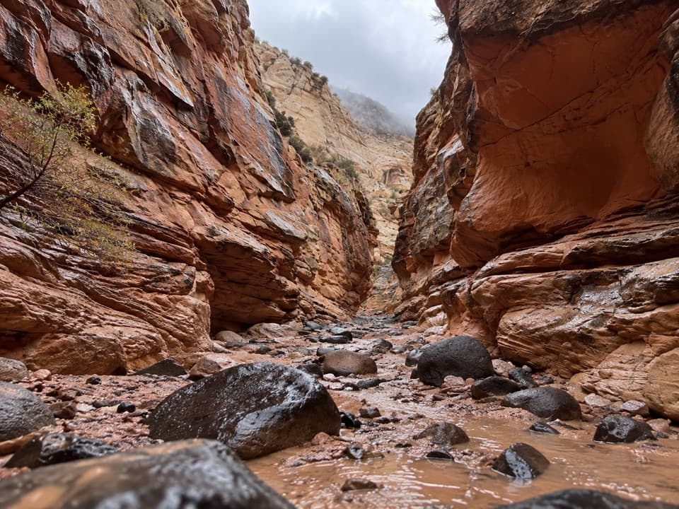
  • CautionFlash-flood hazard in canyons and washesHeavy rains can cause sudden flooding in Capitol Reef’s canyons and washes; do not hike or drive through floodwater.Official details
Capitol Reef alerts
A park ranger sits on a dash-mounted phone, talking, as Parkwolf’s Tour Guide plays “Army Cutworm Moths: A Grizzly Bear Buffet” on Grand Loop Road below Dunraven Pass in Yellowstone
Parkwolf Tour GuideThe highest, rockiest slopes around here are a summer buffet for grizzly bears.

Capitol Reef Tour Guide

Your drive to Upper Cathedral Valley Overlook, narrated.

Parkwolf is a GPS audio tour guide for Capitol Reef National Park. As you drive, it chimes in with what’s ahead: hidden gems, upcoming stops, history, geology, and wildlife, right through your car’s speakers.

See the Capitol Reef audio tour

Recorded for this trailhead

Upper Cathedral Valley Overlook
0:00 / 0:26
“You're approaching Upper Cathedral Valley Overlook, a short walk to a view along the rock towers called the Cathedrals.”

Plays as you drive up to this trailhead in the Parkwolf Capitol Reef Tour Guide.

More stories near here in the app

  • Upper South Desert Overlook
  • Cathedral Valley Campground
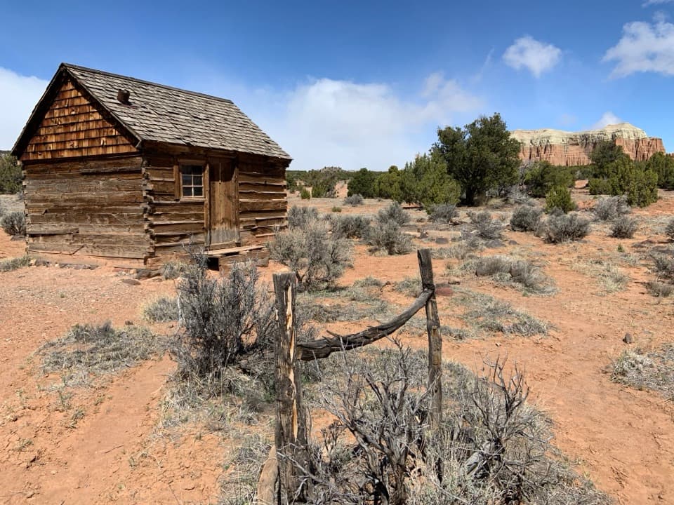
  • Lesley Morrell Line Cabin
  • Cathedrals Trail
  • 116 audio storiesacross Capitol Reef’s roads, triggered by GPS as you drive
  • Wildlife heatmapsfor Bighorn Sheep, Mule Deer, Marmot, and 13 more
  • Works offlinemaps, 48 trails, 52 places, and audio download before you lose signal
  • CarPlay readysimple controls built for the drive
★★★★★
“Fantastic app with many points of information… It’s great to just turn on while you’re driving and it gives you an audio tour of the national Park. We love it!!!!”
JMJamesApp Store review
Download Parkwolf on the App StoreGet Parkwolf on Google Play

4.7 from 8,600+ ratings

Trail guide

Hiking Upper Cathedral Valley Overlook

A quick walk for a long driveUpper Cathedral Valley Overlook is a 0.

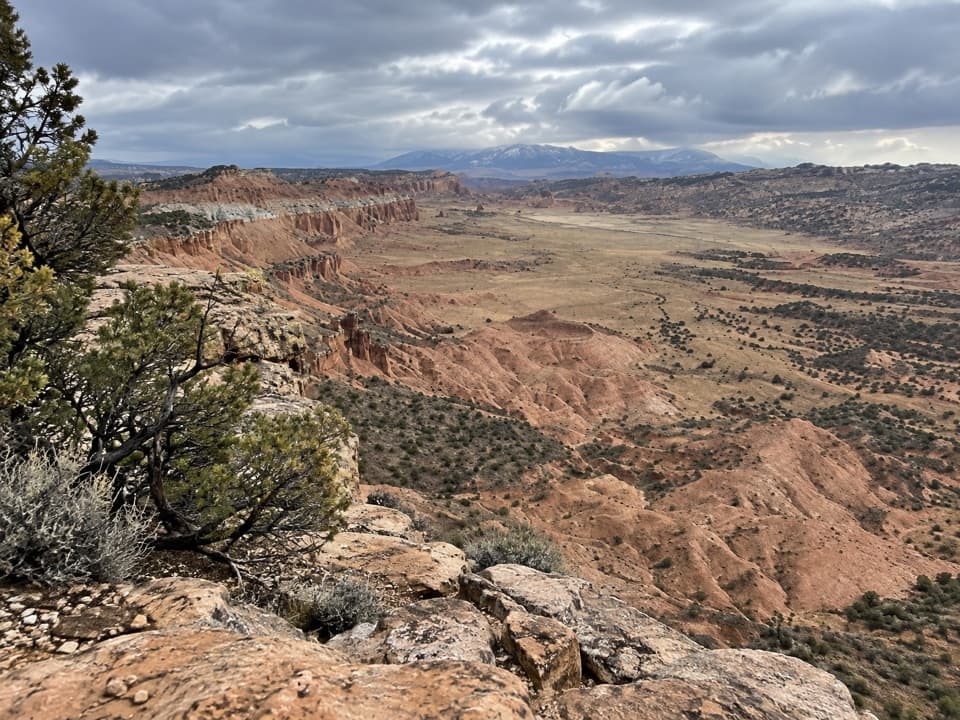
Upper Cathedral Valley Overlook is a 0.2-mile out-and-back from the end of a dirt spur on Hartnet Road. The short, rolling walk takes under 30 minutes and leads to a broad view over Upper Cathedral Valley and its line of monoliths called the Cathedrals. It makes a good leg-stretcher if you are already exploring the remote Cathedral District; the drive is a much bigger commitment than the hike.

From the wash to the rimThe path rises gently through pinyon-juniper, dips through a wash, then opens near the rim.

The path rises gently through pinyon-juniper, dips through a wash, then opens near the rim. That stretch-by-stretch detail comes from an older route account; the current park description calls the trail short and rolling but gives no turn-by-turn map. The trail is not maintained; its tread is faint in places and informal markers may be absent. The overlook sits by an exposed edge. Keep to the obvious path and stay back from the rim; narrow ledges beyond the main viewpoint are optional wandering, not part of the mapped walk.

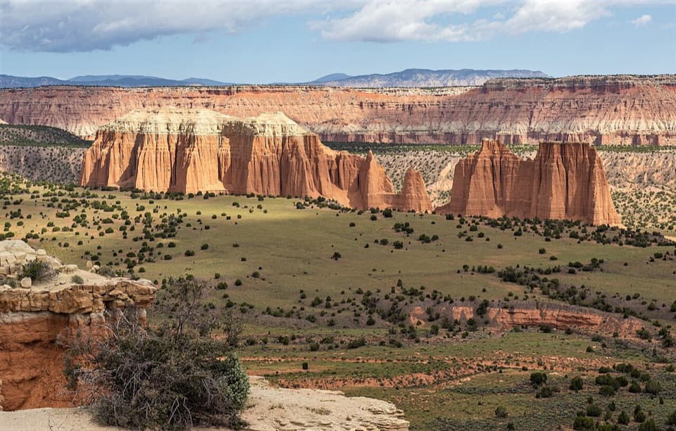
The Cathedrals from aboveFrom the overlook, a line of buttes and spires stands out against the valley's banded cliffs.

From the overlook, a line of buttes and spires stands out against the valley's banded cliffs. The towers are Entrada Sandstone, laid down about 160 million years ago; harder gray-green Curtis Sandstone caps protect some formations while uncapped sandstone wears away. For a photo, frame the row of towers with some of the scrubby valley below so their scale reads, and take it from well back from the rim.

Getting out hereFrom Highway 24, expect roughly 28 road miles on Hartnet Road, then about 0.

From Highway 24, expect roughly 28 road miles on Hartnet Road, then about 0.3 mile north on the dirt spur to the trailhead. Published odometer points differ slightly, so treat the road mileage as approximate. The approach is the hard part: high clearance is required, 4WD is often recommended, and sand or bentonite clay can turn impassable when wet. The south end of Hartnet Road crosses the unbridged Fremont River. Roads are not plowed in winter; spring and fall are the usual seasons for this drive. Cell service is unreliable, and there is no confirmed water or food at the trailhead. Pets are not allowed on trails or in backcountry areas; the free permit rule applies to backcountry camping, not this day hike.

Wildlife

Wildlife in Capitol Reef

All Capitol Reef wildlife maps

Sighting maps show where each species has been reported across Capitol Reef. Wildlife moves, so no sighting is guaranteed.

Keep exploring

Near Upper Cathedral Valley Overlook

See it all on the map

Trails that start nearby

Places near the trailhead

Parkwolf’s Capitol Reef ranking

Top-rated trails in Capitol Reef

All 48 trails
  1. 1Hickman Bridge TrailModerate · 1.8 mi
  2. 2Cassidy Arch TrailChallenging · 3.4 mi
  3. 3Grand Wash TrailEasy · 4.4 mi
  4. 4Capitol Gorge TrailEasy · 2 mi
  5. 5Navajo Knobs TrailChallenging · 9.4 mi
  6. 6Rim Overlook TrailChallenging · 4.6 mi

Take Parkwolf to Capitol Reef.

The audio tour guide for the drive, plus offline maps, trails, and wildlife heatmaps for when the signal drops.

4.7 from 8,600+ ratings

Download Parkwolf on the App StoreGet Parkwolf on Google Play