Parking
Park at the end of Gypsum Sinkhole Spur Road in Cathedral Valley. A high-clearance vehicle is required for the approach.

Capitol Reef National Park, UT
A short walk to a sinkhole nearly 200 feet deep.
Overview
Map & elevation
Plan your hike

The highest, rockiest slopes around here are a summer buffet for grizzly bears.
Capitol Reef Tour Guide
Parkwolf is a GPS audio tour guide for Capitol Reef National Park. As you drive, it chimes in with what’s ahead: hidden gems, upcoming stops, history, geology, and wildlife, right through your car’s speakers.
See the Capitol Reef audio tourRecorded for this trailhead
Gypsum Sinkhole“Gypsum Sinkhole is coming up, with a short walk to a hole nearly two hundred feet deep.”
Plays as you drive up to this trailhead in the Parkwolf Capitol Reef Tour Guide.
More stories near here in the app
“Fantastic app with many points of information… It’s great to just turn on while you’re driving and it gives you an audio tour of the national Park. We love it!!!!”


Trail guide
Gypsum Sinkhole Trail is a very short out-and-back from the end of Gypsum Sinkhole Spur Road: about 0.1 mile round trip on a maintained, mostly bare-ground path. It rises a little west to a viewing point beside a nearly 50-foot-wide, 200-foot-deep hole. Allow about 15 to 20 minutes; this is a quick geology stop, not a substantial hike.
The trail is in remote Cathedral Valley. A high-clearance vehicle is required for the approach, and wet weather can leave the roads impassable. Check current NPS road conditions before driving in. There is no potable water in the district, so sort that out before the drive. Pets are not allowed on this hiking trail; service animals are permitted.
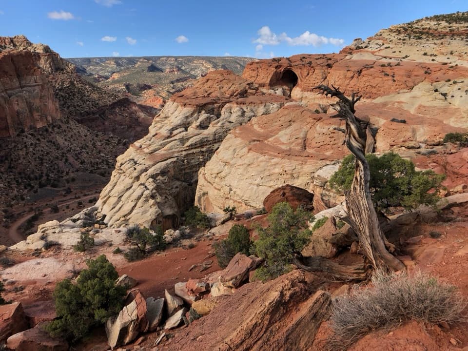
The rock around the hole is very soft and unstable and can collapse at any time. Stay well back from the edge; don't approach it for a closer look or a photo. From a distance, a wider picture that keeps the layered rim and dark opening together shows the sinkhole's shape.
Groundwater dissolved a buried gypsum plug, leaving a cavity that collapsed under the rock above it. The gypsum was deposited from evaporating seawater about 165 million years ago. After burial, the low-density mineral slowly moved upward along faults and fractures, setting up the collapse that opened this deep hole.
Wildlife
 50 sightingsBighorn SheepMost seen around 6 PMSighting map
 322 sightingsMule DeerMost seen around 6 PMSighting map
 70 sightingsMarmotMost seen around 7 AMSighting map
 13 sightingsCottontail RabbitMost seen around 7 PMSighting map
 33 sightingsTurkeyMost seen around 6 AMSighting map
 14 sightingsRavenMost seen around 9 AMSighting map
Sighting maps show where each species has been reported across Capitol Reef. Wildlife moves, so no sighting is guaranteed.
Keep exploring
 EasyCathedrals Trail2.4 mi · 1.5 hr · 2 mi awayA short climb opens a front-row view of the Cathedrals.
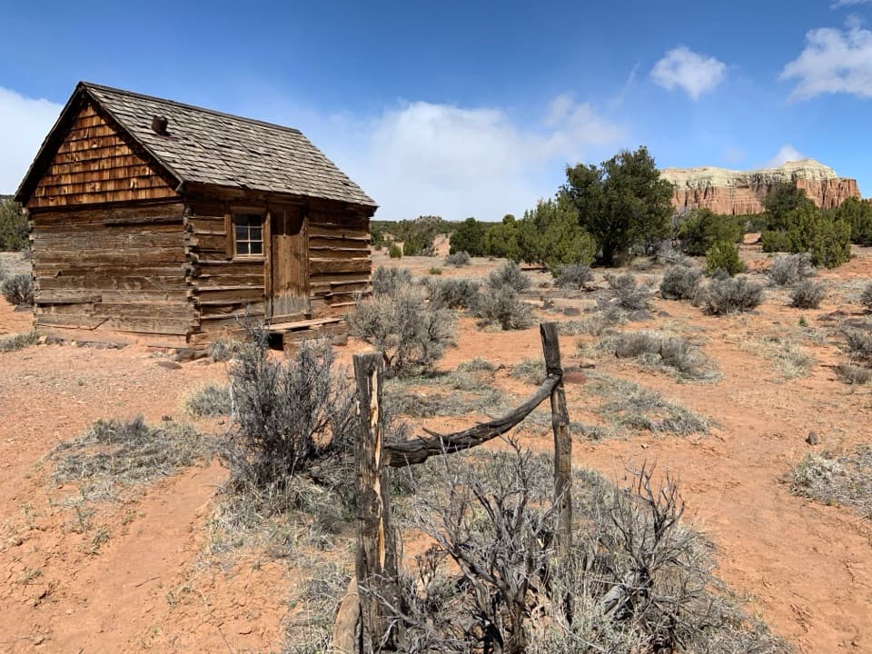 EasyMorrell Cabin Trail0.4 mi · 20 min · 2.5 mi awayA short old-road walk to a remote ranching cabin.
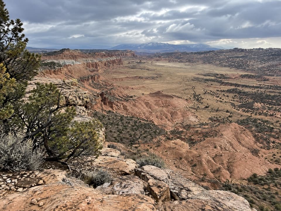 ModerateUpper South Desert Overlook0.4 mi · 24 min · 2.6 mi awayA brief climb opens onto a 360-degree desert view
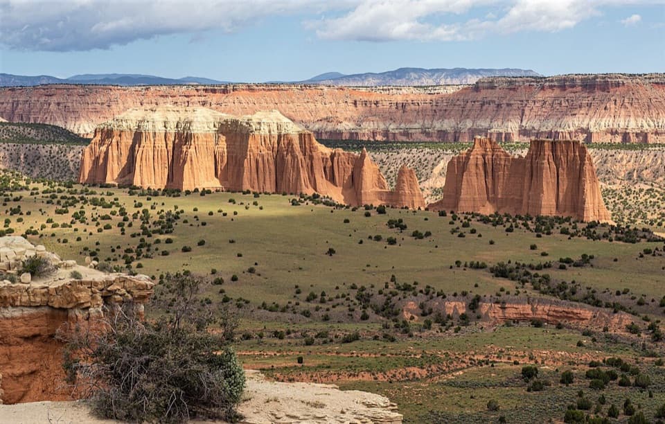 EasyUpper Cathedral Valley Overlook0.2 mi · 24 min · 2.6 mi awayA short, rolling path ends at the Cathedrals panorama.
 ModerateLower Cathedral Valley Overlooks Route1.7 mi · 1.5 hr · 7.7 mi awayA rough 1.7-mile climb to a high view of the Temples
 ModerateJailhouse Rock and Temple Rock Route4.5 mi · 2.5 hr · 8.9 mi awayFollow a fading desert track to a Temple Rock viewpoint.
 EasyLower South Desert Overlook Trail0.6 mi · 20 min · 9 mi awayA short rim walk for a broad look at Jailhouse Rock.
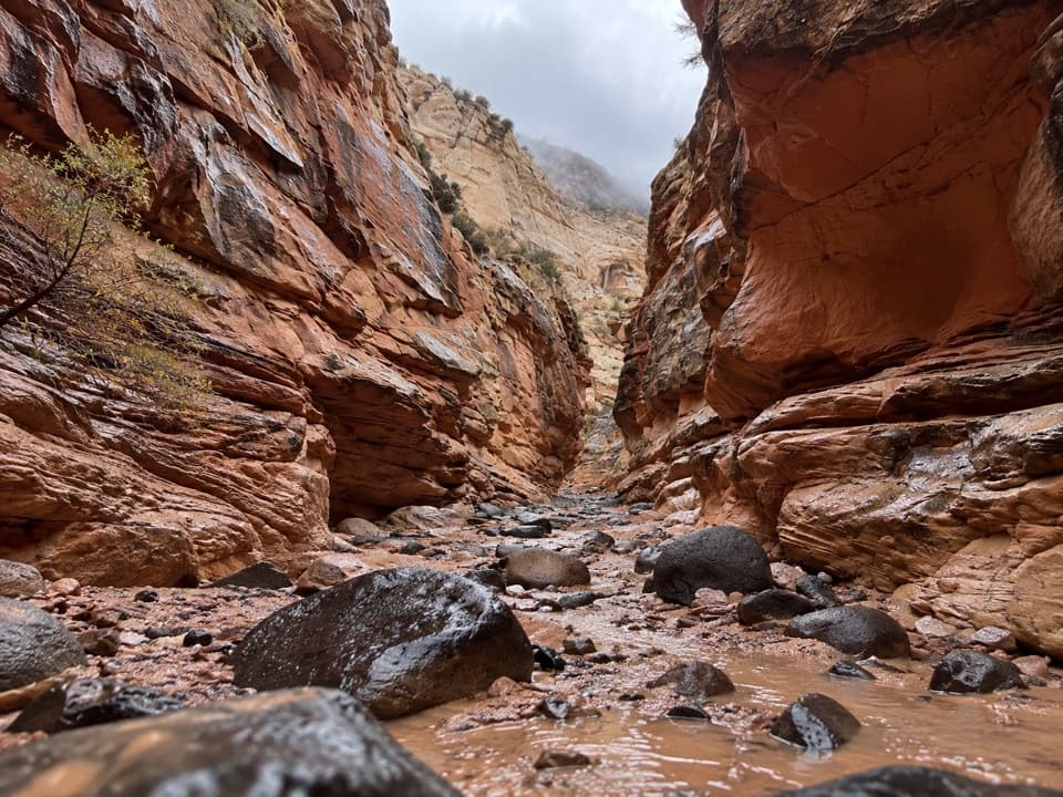 ChallengingUpper Spring Canyon18.7 mi · 16 hr · 12.3 mi awayRemote traverse through Wingate narrows and a boulder filled wash.
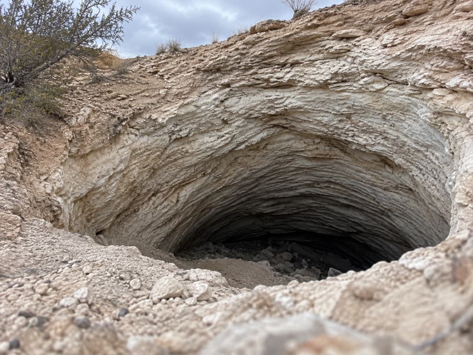 Sight · 0.1 mi awayGypsum SinkholeA 200-foot sinkhole worth adding to a Cathedral Valley loop.Sight · 2.6 mi awayUpper Cathedral Valley OverlookA short rim walk above Cathedral Valley’s sandstone cathedrals.
 Sight · 2.7 mi awayUpper South Desert OverlookA rocky rise opens a 360-degree view over South Desert.Sight · 2.7 mi awayLesley Morrell Line CabinA relocated ranching cabin and corral in remote Cathedral Valley.
 Campground · 3.1 mi awayCathedral Valley CampgroundA quiet six-site base for the long Cathedral Valley loop.
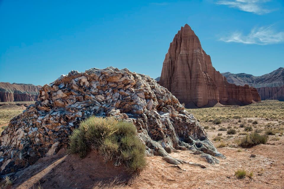 Sight · 7.5 mi awayGlass MountainA 15-foot crystal mound framed by Temple of the Sun.
 Sight · 7.6 mi awayTemples of the Sun and MoonTwo sandstone towers make the long Cathedral Valley drive worthwhile.Sight · 7.7 mi awayLower Cathedral Valley OverlooksA rough walk for a rare bird’s-eye view of Capitol Reef’s temples.
Parkwolf’s Capitol Reef ranking

The audio tour guide for the drive, plus offline maps, trails, and wildlife heatmaps for when the signal drops.