Parking
Use the paved pull-in beside the wooden shed on narrow Hazel Avenue; park before or after the shed without blocking access.
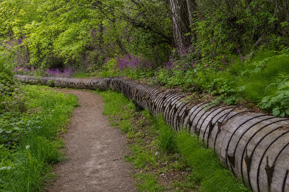
Columbia River Gorge National Scenic Area, OR · WA
A leafy creek walk past a historic water flume.
Overview
Map & elevation
Plan your hike

The highest, rockiest slopes around here are a summer buffet for grizzly bears.
Columbia River Gorge Tour Guide
Parkwolf is a GPS audio tour guide for Columbia River Gorge National Scenic Area. As you drive, it chimes in with what’s ahead: hidden gems, upcoming stops, history, geology, and wildlife, right through your car’s speakers.
Recorded for this area
The Ship That Named the River“The Columbia River's familiar name came from a ship. In seventeen ninety-two, American captain Robert Gray crossed the bar at the river's Pacific mouth aboard the Columbia Rediviva and named the waterway for his vessel.”
Plays on the road 0.3 mi from the trailhead in the Parkwolf Columbia River Gorge Tour Guide.
More stories near here in the app
“Fantastic app with many points of information… It’s great to just turn on while you’re driving and it gives you an audio tour of the national Park. We love it!!!!”


Trail guide
Indian Creek Trail’s Hazel Avenue hike is an easy 3.2-mile out-and-back round trip along the lower creek corridor. From Hazel, follow the path to the picnic table and private-property sign at the western end, beyond the Community College access, then return the same way. This is the lower historic section, separate from the Barrett Park route. The old wooden flume beside the path is the standout; the open Hazel slope gives the best wide view, with the Hood River and pear orchards in the same frame.
From Hazel, the dirt track dips and rises above the river, then slips into a leafy canyon beside the flume that once carried water to a Hood River fruit cannery. Near 12th and Pacific, the woods briefly give way to the neighborhood and Dutch Bros at the corner. Cross 12th and pick up the trail as it descends to Indian Creek. At the four-way junction, continue straight on the boardwalk to the sign; the side paths lead to the college or Rebecca Avenue.
Give it about 1½ hours; the easy route has about 250 feet of gain. It is multi-use, with one street crossing and short urban stretches. Dogs must be leashed; private property borders the trail, so stay on the path. The Hazel Avenue access is a paved pull-in beside a wooden shed on a narrow road; park before or after it without blocking access. Coffee is available at the street crossing, not on the trail.
Wildlife
 267 sightingsBald EagleMost seen around 7 AMSighting map
 51 sightingsBlack BearMost seen around 7 PMSighting map
 136 sightingsAmerican PikaMost seen around 8 AMSighting map
 16 sightingsWapitiMost seen around 7 AMSighting map
 195 sightingsMule DeerMost seen around 7 AMSighting map
 74 sightingsChinook SalmonMost seen around 6 PMSighting map
Sighting maps show where each species has been reported across Columbia River Gorge. Wildlife moves, so no sighting is guaranteed.
Keep exploring
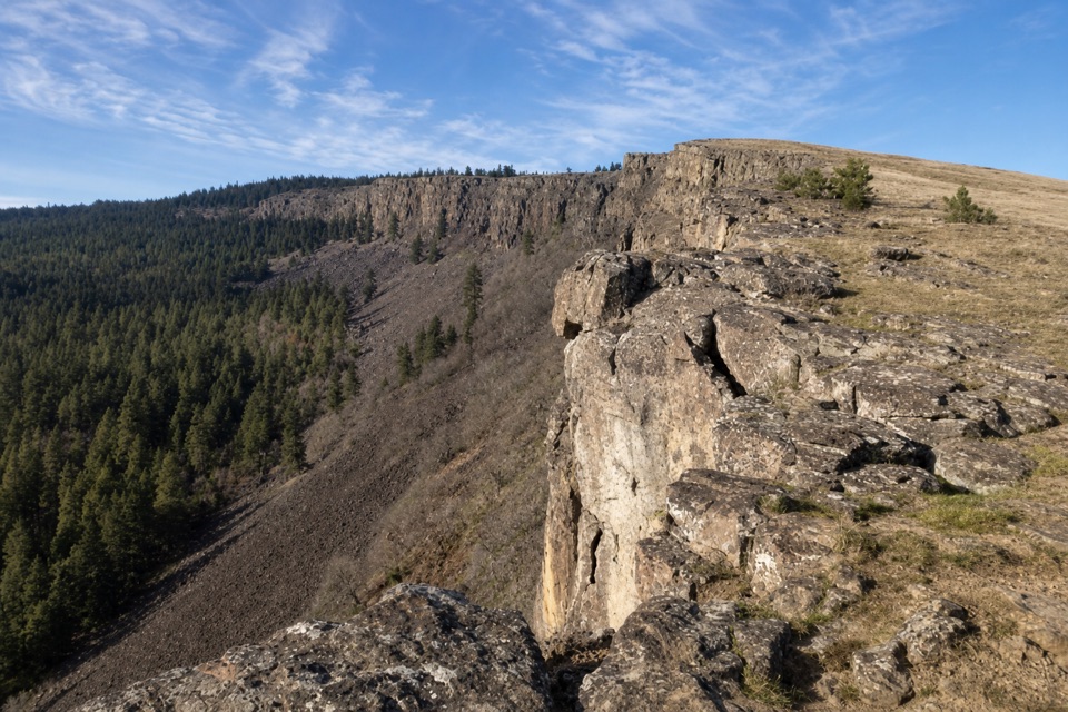 ModerateLittle Moab Trail3.4 mi · 2.5 hr · 5.1 mi awayA rocky basalt rim walk above steep wooded slopes.
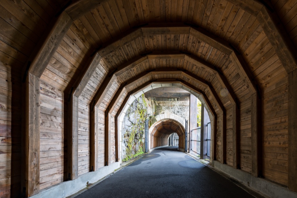 ModerateHistoric Columbia River Highway State Trail — Twin Tunnels Segment4.5 mi · 2.5 hr · 5.1 mi awayWalk the old highway through twin tunnels with framed river views.
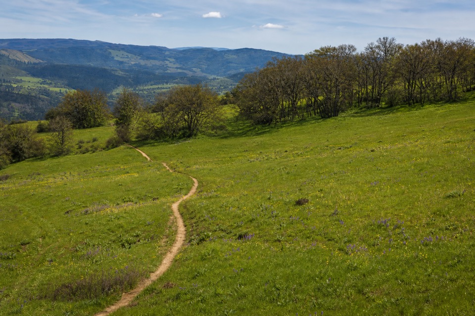 ModerateOld Ranch Road Trail6.4 mi · 4.3 hr · 5.2 mi awayA long, rocky climb from old pavement to Gorge views.
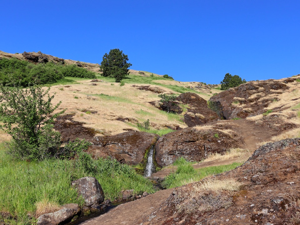 ModerateLittle Maui Trail #44251.1 mi · 45 min · 5.3 mi awayOpen oak meadows give way to streamside cascades.
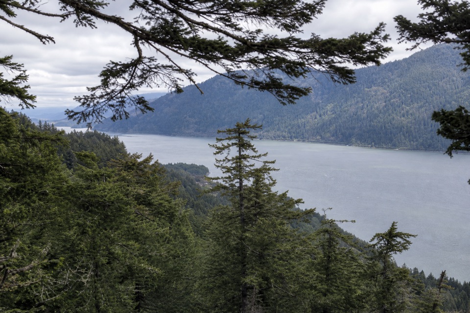 ModerateWygant Peak Trail9 mi · 5.5 hr · 5.3 mi awayThe summit hides its best view in the meadow below.
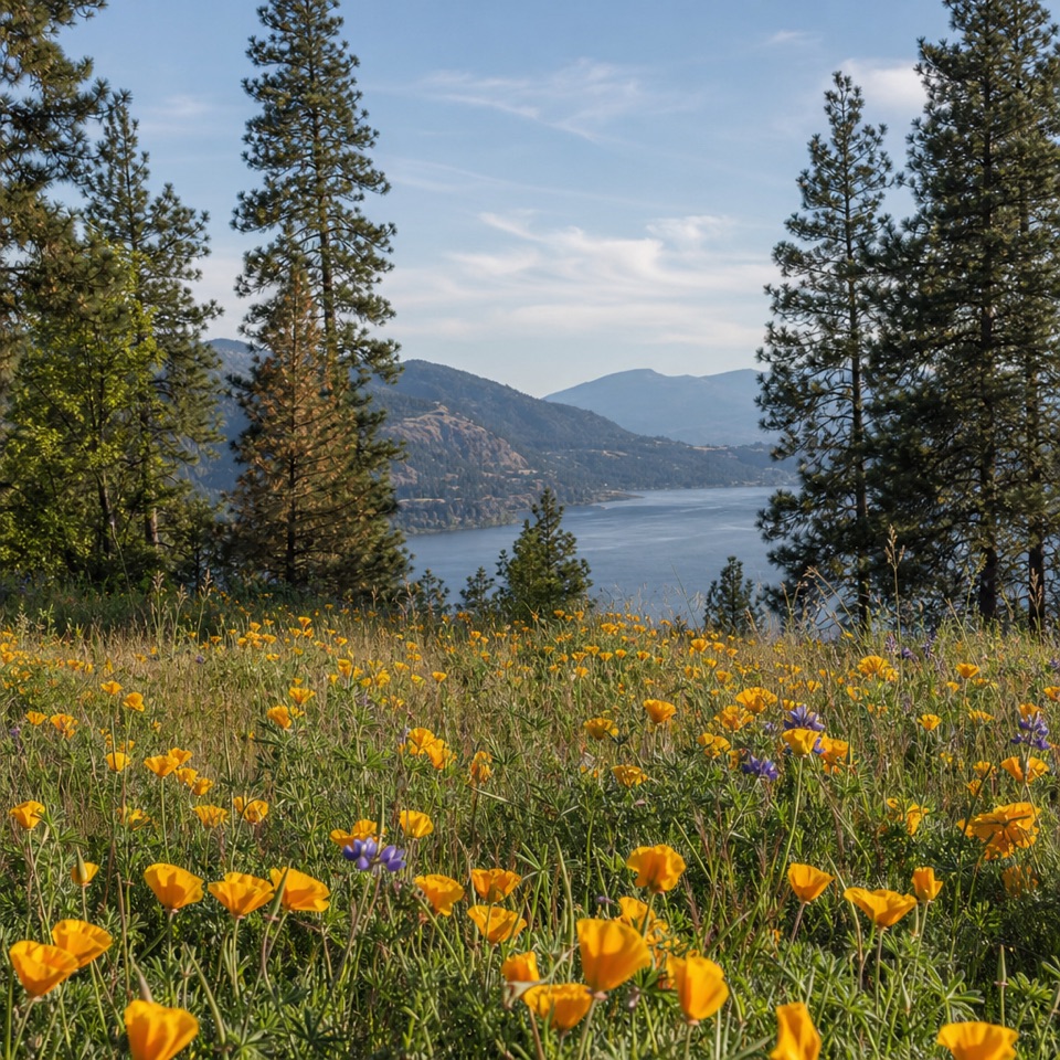 ModerateMosier Plateau Trail3.5 mi · 2.5 hr · 5.5 mi awayA creekside waterfall, spring flowers, then a steep climb to Gorge views.
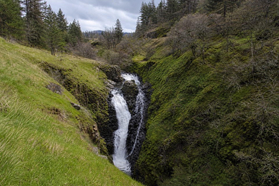 EasyMosier Creek Falls1 mi · 45 min · 5.5 mi awayA quick town walk to an 80-foot, two-tiered waterfall.
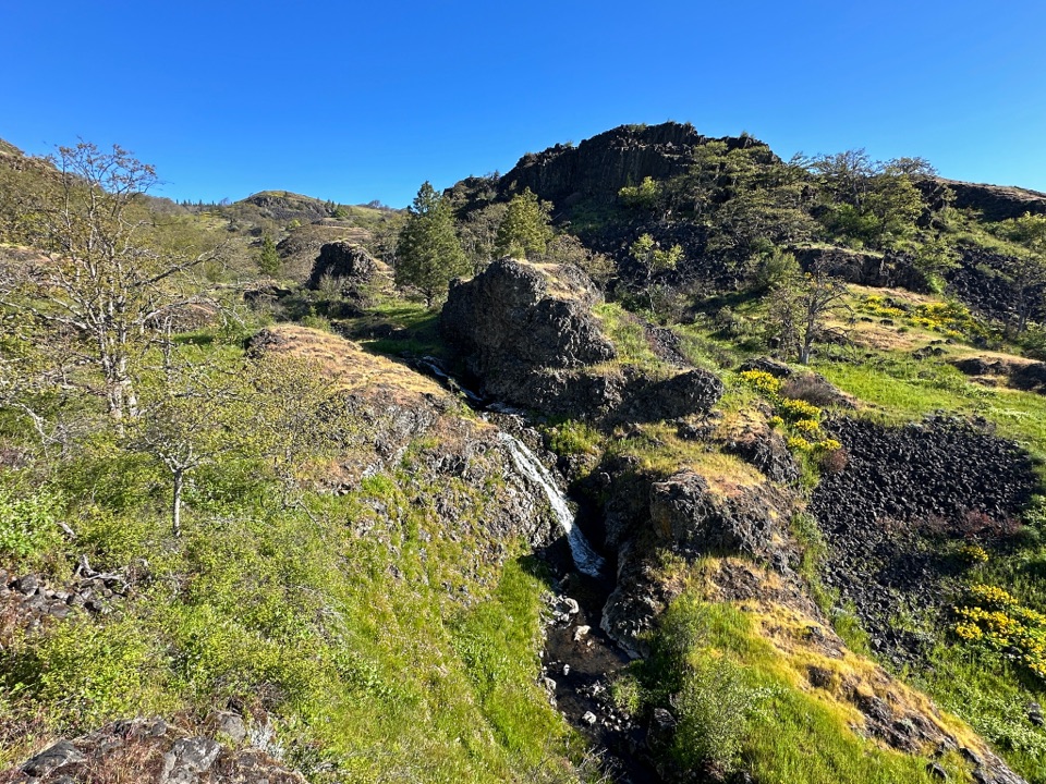 ModerateCatherine Creek Labyrinth3.6 mi · 3 hr · 6 mi awayA basalt maze, a creekside waterfall, and a viewpoint worth the climb.
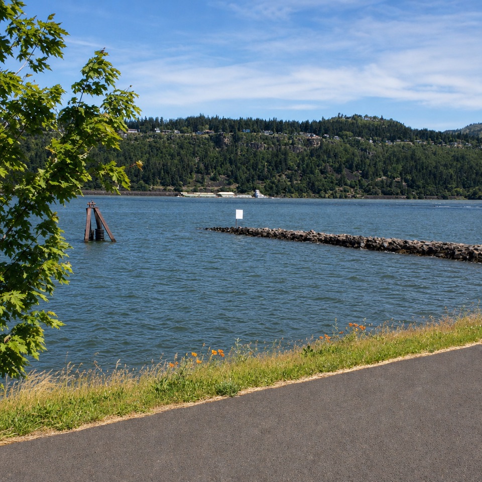 Sight · 0.8 mi awayHood River Event SiteWatch windsurfing and kiteboarding right on the river.
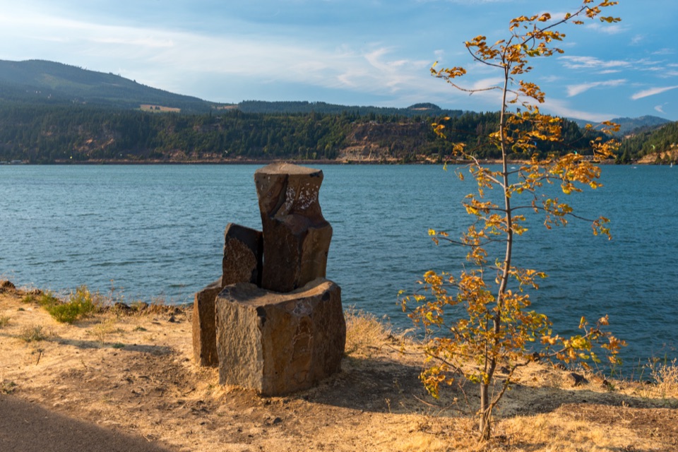 Beach · 0.8 mi awayHood River Waterfront ParkA sandy swimming cove for a low-key Columbia River break.
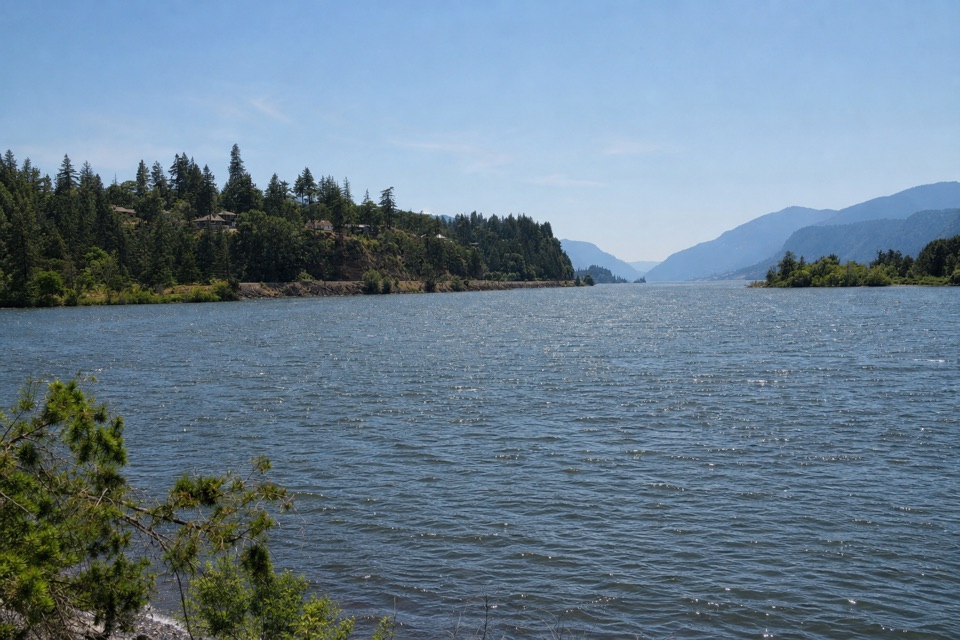 Sight · 1.1 mi awayThe HookA sheltered beginner launch with a big river view.
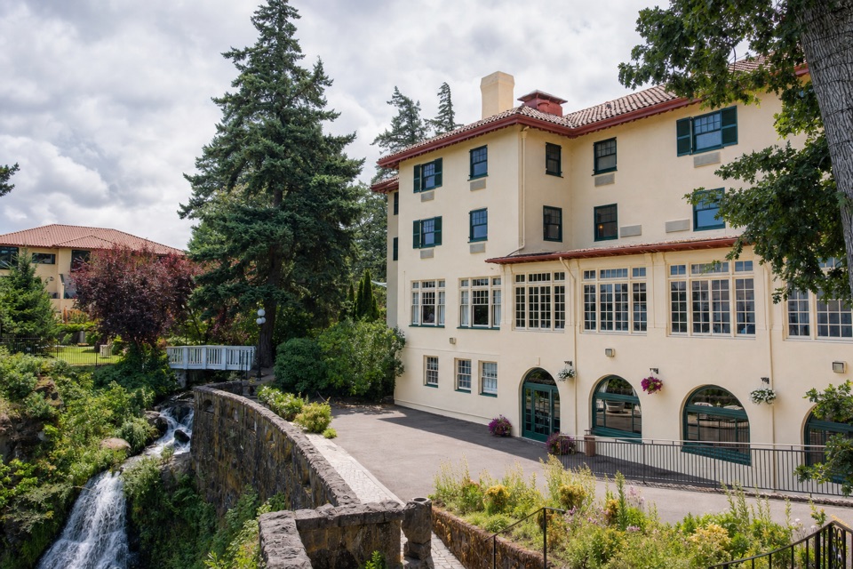 Lodging · 2.3 mi awayColumbia Gorge Hotel & SpaA 1920s hotel with a waterfall spilling through its gardens.
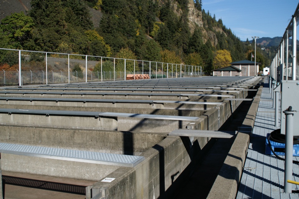 Sight · 2.4 mi awaySpring Creek National Fish HatcheryWatch fall Chinook climb the ladder at a working river hatchery.
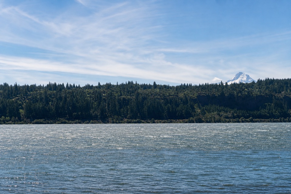 Beach · 2.7 mi awaySpring Creek Hatchery State ParkStrong Gorge winds make this Columbia shore a windsurfing draw.
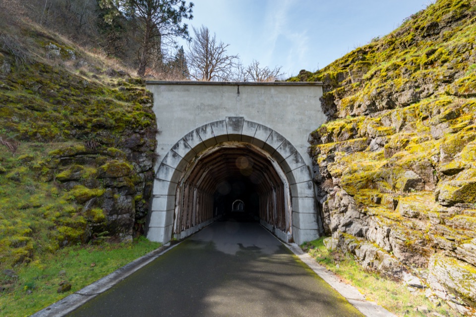 Sight · 4.4 mi awayMosier Twin TunnelsHistoric highway tunnels with windows that frame the Gorge.
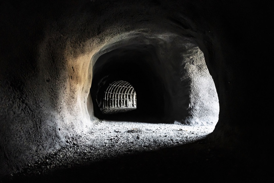 Sight · 5.3 mi awayMitchell Point TunnelFive arched windows frame the river from inside the cliff.
Parkwolf’s Columbia River Gorge ranking

The audio tour guide for the drive, plus offline maps, trails, and wildlife heatmaps for when the signal drops.





