Parking
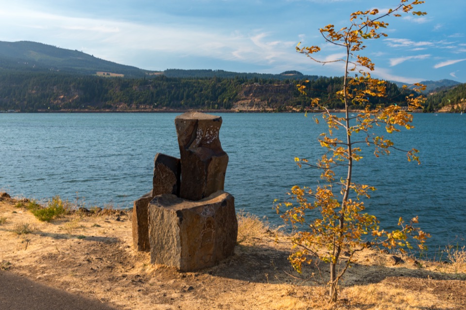
Park in the large gravel area downhill between the highway and railroad tracks, near Totem Plaza.
Columbia River Gorge National Scenic Area, OR · WA
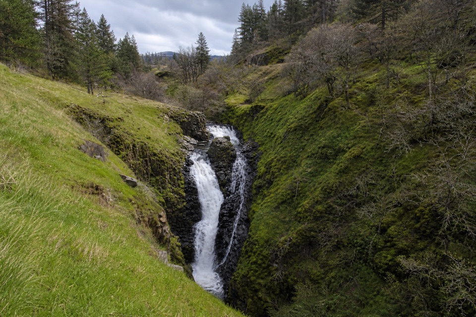
A quick town walk to an 80-foot, two-tiered waterfall.
Overview
Map & elevation
Plan your hike

The highest, rockiest slopes around here are a summer buffet for grizzly bears.
Columbia River Gorge Tour Guide
Parkwolf is a GPS audio tour guide for Columbia River Gorge National Scenic Area. As you drive, it chimes in with what’s ahead: hidden gems, upcoming stops, history, geology, and wildlife, right through your car’s speakers.
Recorded for this area
Mosier Twin Tunnels“You're approaching the Mosier-side trailhead for the Twin Tunnels, about a mile farther on foot or bike along a paved, car-free stretch of old highway.”
Plays on the road 0.2 mi from the trailhead in the Parkwolf Columbia River Gorge Tour Guide.
More stories near here in the app
“Fantastic app with many points of information… It’s great to just turn on while you’re driving and it gives you an audio tour of the national Park. We love it!!!!”


Trail guide
Mosier Creek Falls is an easy 1-mile out-and-back from Totem Plaza, with about 150 feet of climbing. The route starts with a walk along the highway shoulder, crosses Mosier Creek on the old bridge, then turns right into Mosier Pocket Park. Follow the lower creek path to the overlook and the top of the falls. Allow about 45 minutes for the walk, plus time at the view. This is a quick town outing, not the longer Mosier Plateau hike: the falls route turns around before the steep switchbacks that continue uphill.
The path follows Mosier Creek through oak groves and past the pioneer cemetery, where graves date to the 1860s. The bridge was designed by Oregon engineer Conde McCullough in 1920 and restored in 2017. Mosier Creek and the town are named for Jonah Mosier, who built a sawmill at the creek’s mouth in the 1850s. The canyon opens at a viewpoint looking upriver toward the falls; continue to the top for a close view of about 80 feet of water dropping in two tiers through a dark rock cleft. Make the falls your turnaround, then retrace the same route to the plaza.
Park in the large gravel area downhill between the highway and railroad, near Totem Plaza. Restrooms and a water station are at the plaza, with a market, coffee shop and taco truck nearby. No permit is required. The highway shoulder and bridge are the most road-exposed part of the walk. The route also passes near cliffs and private property, so keep dogs leashed. Access to the pool between the falls is disputed; treat the overlook and top of the falls as the destination.
Wildlife
 267 sightingsBald EagleMost seen around 7 AMSighting map
 51 sightingsBlack BearMost seen around 7 PMSighting map
 136 sightingsAmerican PikaMost seen around 8 AMSighting map
 16 sightingsWapitiMost seen around 7 AMSighting map
 195 sightingsMule DeerMost seen around 7 AMSighting map
 74 sightingsChinook SalmonMost seen around 6 PMSighting map
Sighting maps show where each species has been reported across Columbia River Gorge. Wildlife moves, so no sighting is guaranteed.
Keep exploring
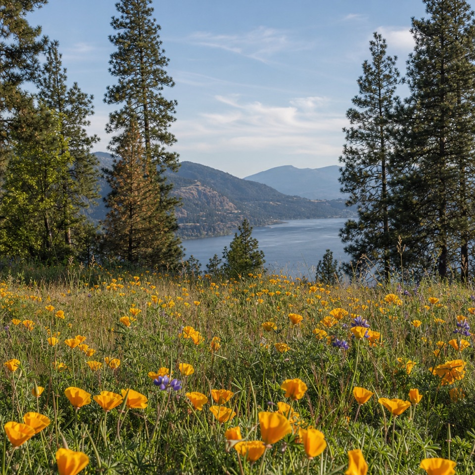 ModerateMosier Plateau Trail3.5 mi · 2.5 hr · At the trailheadA creekside waterfall, spring flowers, then a steep climb to Gorge views.
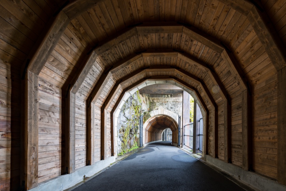 ModerateHistoric Columbia River Highway State Trail — Twin Tunnels Segment4.5 mi · 2.5 hr · 0.6 mi awayWalk the old highway through twin tunnels with framed river views.
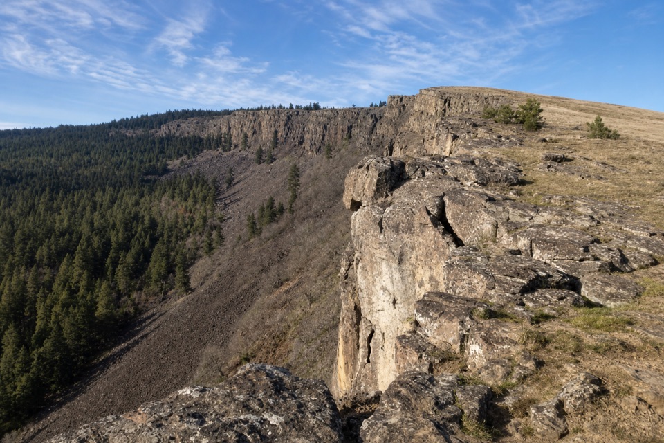 ModerateLittle Moab Trail3.4 mi · 2.5 hr · 1.2 mi awayA rocky basalt rim walk above steep wooded slopes.
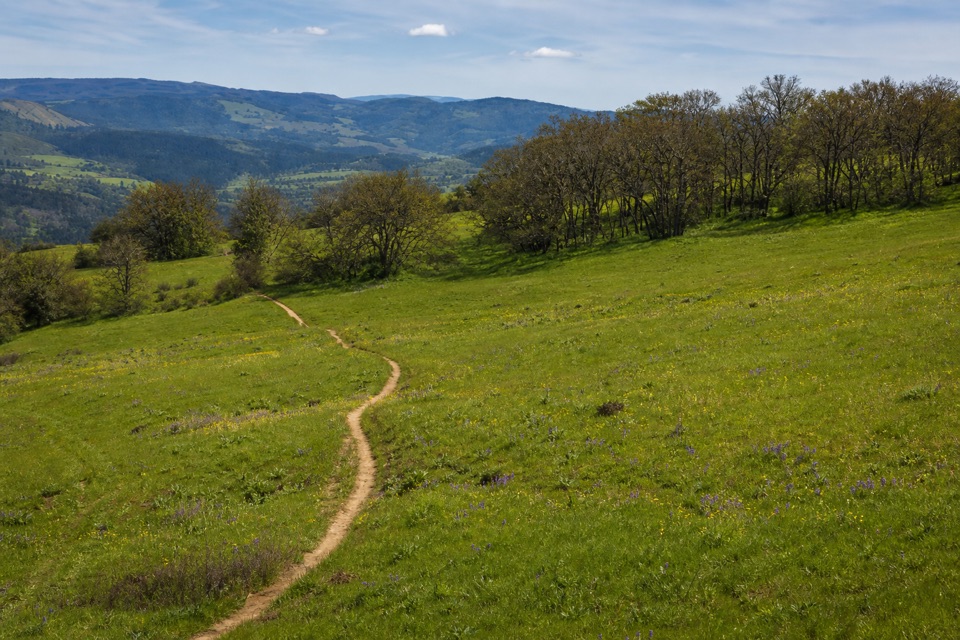 ModerateOld Ranch Road Trail6.4 mi · 4.3 hr · 1.2 mi awayA long, rocky climb from old pavement to Gorge views.
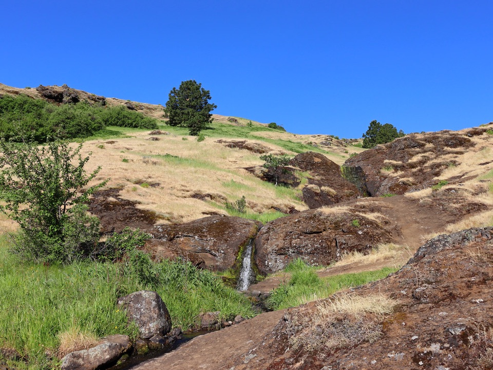 ModerateLittle Maui Trail #44251.1 mi · 45 min · 1.5 mi awayOpen oak meadows give way to streamside cascades.
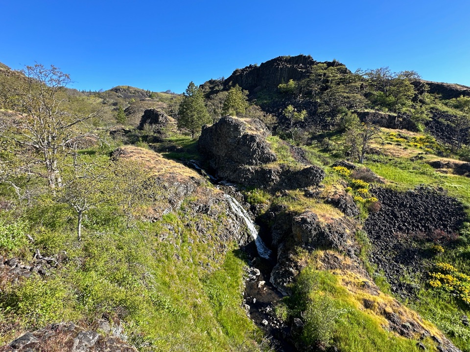 ModerateCatherine Creek Labyrinth3.6 mi · 3 hr · 1.7 mi awayA basalt maze, a creekside waterfall, and a viewpoint worth the climb.
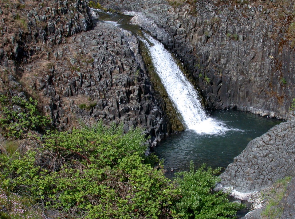 EasyCatherine Creek Interpretive Trail1 mi · 54 min · 2.6 mi awayA paved mile through wildflower slopes to the Catherine Creek Falls view.
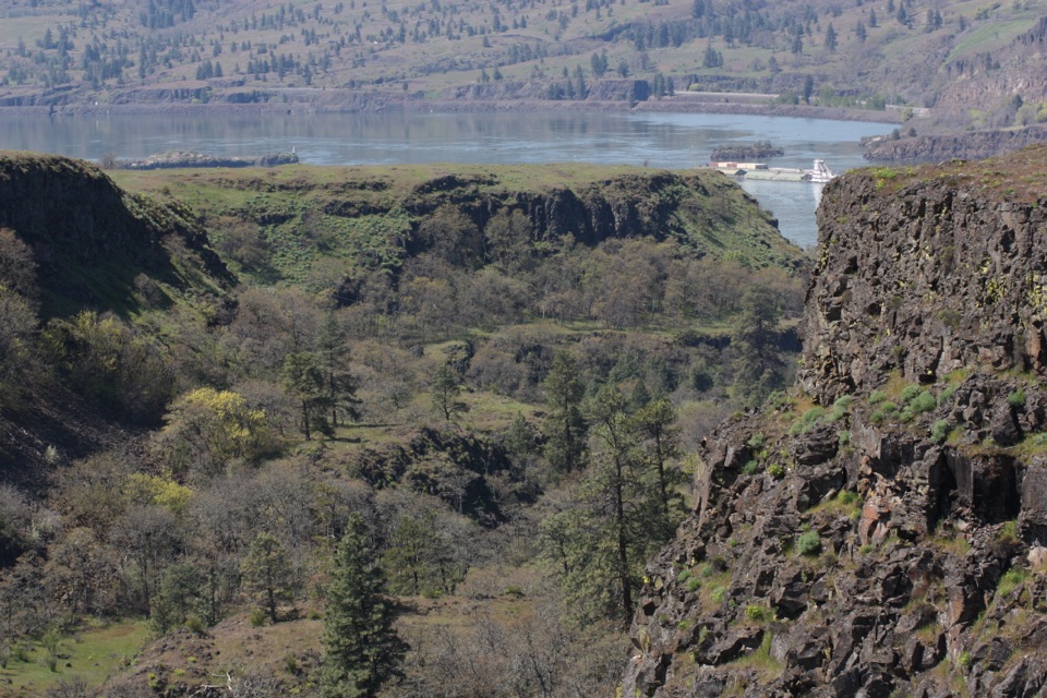 EasyRowena Plateau Loop2.6 mi · 1.5 hr · 4.6 mi awayIce Age ponds, spring flowers and two big views from the plateau.
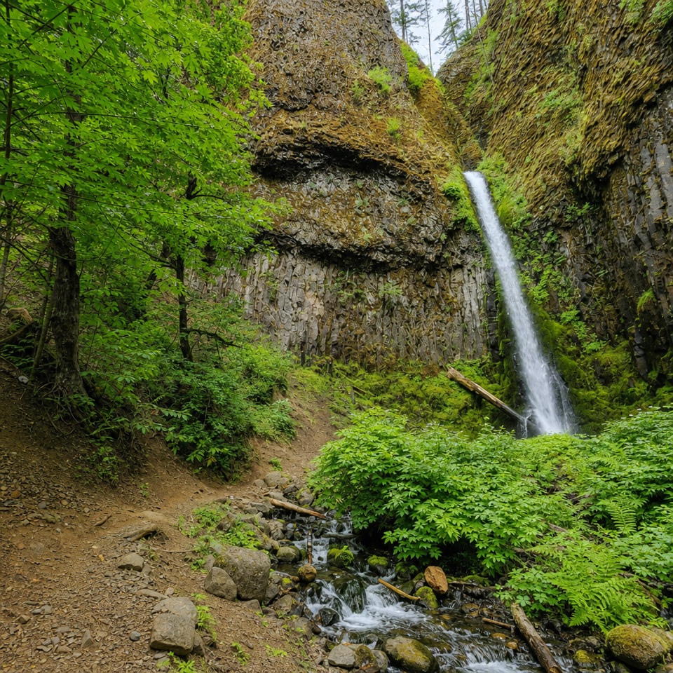 Sight · 0.4 mi awayMosier Creek FallsA quick waterfall stop, with a historic bridge on the way in.
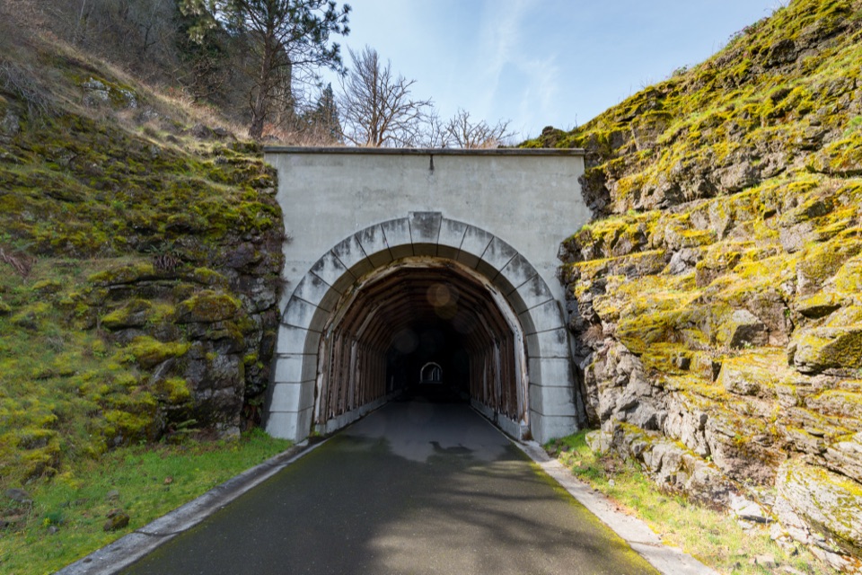 Sight · 1.1 mi awayMosier Twin TunnelsHistoric highway tunnels with windows that frame the Gorge.
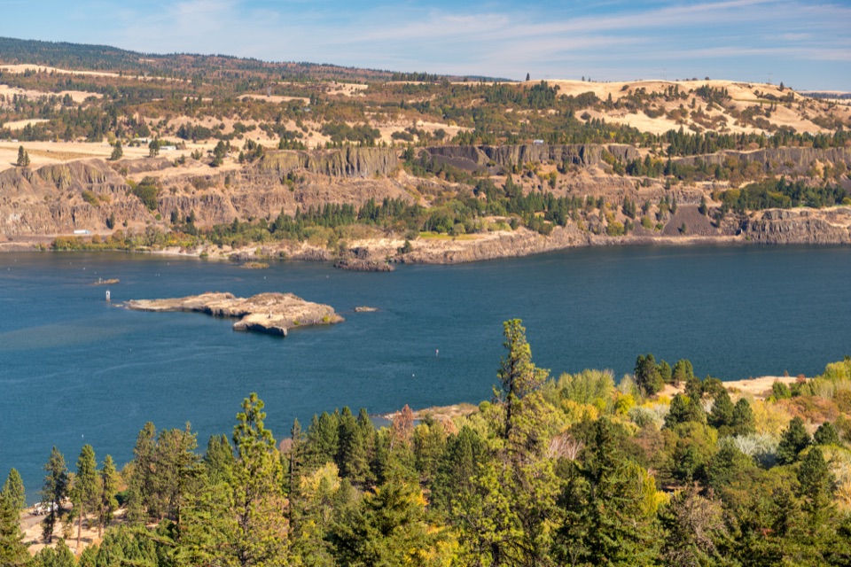 Sight · 2.4 mi awayMemaloose OverlookA quick river view across to Memaloose Island.
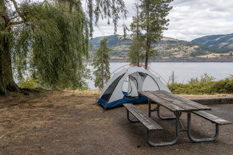 Campground · 2.7 mi awayMemaloose State Park CampgroundCamp beside the Columbia, with Memaloose Island in view.
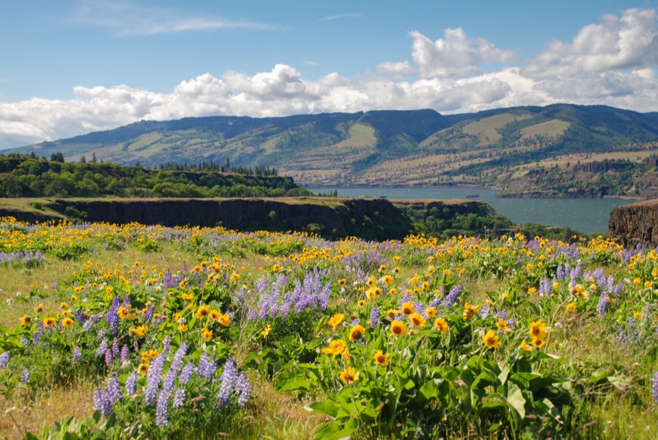 Sight · 4.8 mi awayRowena Crest OverlookSee the Columbia and Rowena Loops together in one roadside view.
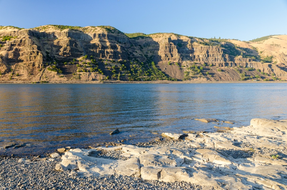 Sight · 5.3 mi awayMayer State Park – River AccessChoose among wind sports, sheltered paddling, or a riverbank picnic.
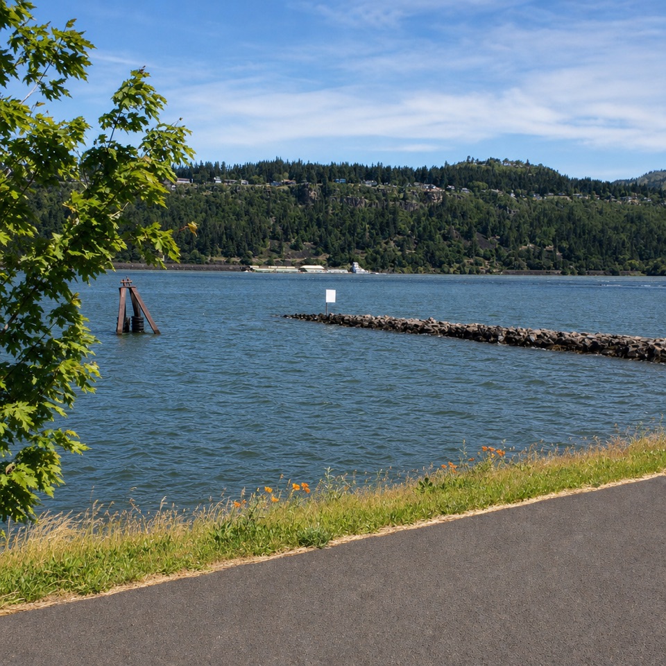 Sight · 6 mi awayHood River Event SiteWatch windsurfing and kiteboarding right on the river.
 Beach · 6.2 mi awayHood River Waterfront ParkA sandy swimming cove for a low-key Columbia River break.
Parkwolf’s Columbia River Gorge ranking

The audio tour guide for the drive, plus offline maps, trails, and wildlife heatmaps for when the signal drops.





