Parking
Coyote Wall Trailhead lot off Courtney Road, east of Washington 14 near milepost 69.7. Use designated stalls only; roadside parking on Courtney Road and Washington 14 is prohibited.
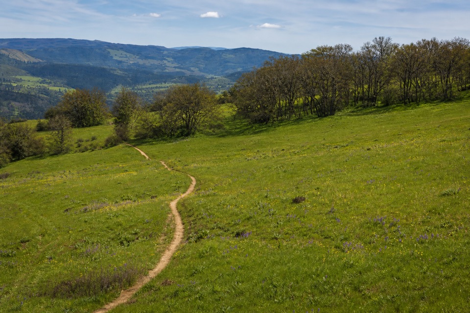
Columbia River Gorge National Scenic Area, OR · WA
A long, rocky climb from old pavement to Gorge views.
Overview
Map & elevation
Plan your hike

The highest, rockiest slopes around here are a summer buffet for grizzly bears.
Columbia River Gorge Tour Guide
Parkwolf is a GPS audio tour guide for Columbia River Gorge National Scenic Area. As you drive, it chimes in with what’s ahead: hidden gems, upcoming stops, history, geology, and wildlife, right through your car’s speakers.
Recorded for this area
The Cliff and the Fold“The cliff at Coyote Wall has two different stories written in its basalt. Pressure from regional folding tipped the lava layers; that's why locals call this place the Syncline.”
Plays near this trailhead in the Parkwolf Columbia River Gorge Tour Guide.
More stories near here in the app
“Fantastic app with many points of information… It’s great to just turn on while you’re driving and it gives you an audio tour of the national Park. We love it!!!!”


Trail guide
Old Ranch Road is a 6.36-mile round-trip out-and-back from Coyote Wall Trailhead, with about a half-mile on old pavement to the trail and 2.7 miles on Forest Service Trail #4426 to Atwood Road. Turn around there and retrace the route. The shorter loops turn onto Little Moab or Little Maui; following Atwood Road toward Upper Labyrinth makes a different, longer outing. Allow about four hours for the full walk.
The approach on old pavement is nearly flat. Once #4426 leaves it, an old Jeep road climbs through bends toward Coyote Wall’s ridge. The mapped track is ground, with exposed bedrock on the climb. The Columbia River views open as you gain height, and the south-facing meadows get a spring run of wildflowers. A report from the route describes two bedrock shelves early in the climb and warns that shortcuts straight uphill are wearing away thin soil. Stay on the switchbacks and follow current signs; several old paths in this recreation area have been retired.
This is for someone who wants a sustained ridge climb, not a quick falls stop. The rough footing and roughly 1,300 feet of climbing make it a half-day walk, and you return on the same route. Bicycles also use designated tracks here, so take care at junctions. Park in the Coyote Wall Trailhead lot off Courtney Road near Washington 14 milepost 69.7; use marked spaces only, not the highway or road shoulder. It is a day-use area, sunrise to sunset, with no fee. Dogs can come, but must be leashed December 1 through June 30. Stay on signed trails: old maps show retired routes, and land below the wall to the west is private.
Wildlife
 267 sightingsBald EagleMost seen around 7 AMSighting map
 51 sightingsBlack BearMost seen around 7 PMSighting map
 136 sightingsAmerican PikaMost seen around 8 AMSighting map
 16 sightingsWapitiMost seen around 7 AMSighting map
 195 sightingsMule DeerMost seen around 7 AMSighting map
 74 sightingsChinook SalmonMost seen around 6 PMSighting map
Sighting maps show where each species has been reported across Columbia River Gorge. Wildlife moves, so no sighting is guaranteed.
Keep exploring
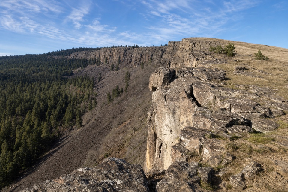 ModerateLittle Moab Trail3.4 mi · 2.5 hr · 0.1 mi awayA rocky basalt rim walk above steep wooded slopes.
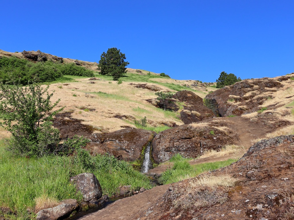 ModerateLittle Maui Trail #44251.1 mi · 45 min · 0.4 mi awayOpen oak meadows give way to streamside cascades.
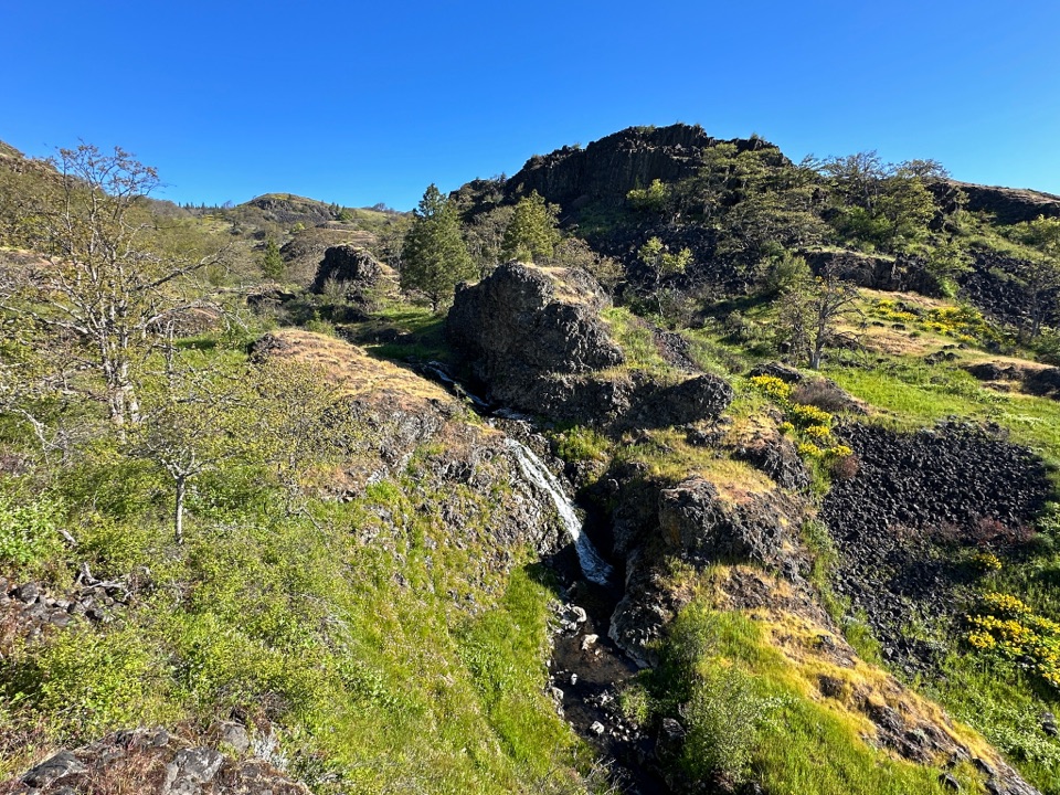 ModerateCatherine Creek Labyrinth3.6 mi · 3 hr · 1 mi awayA basalt maze, a creekside waterfall, and a viewpoint worth the climb.
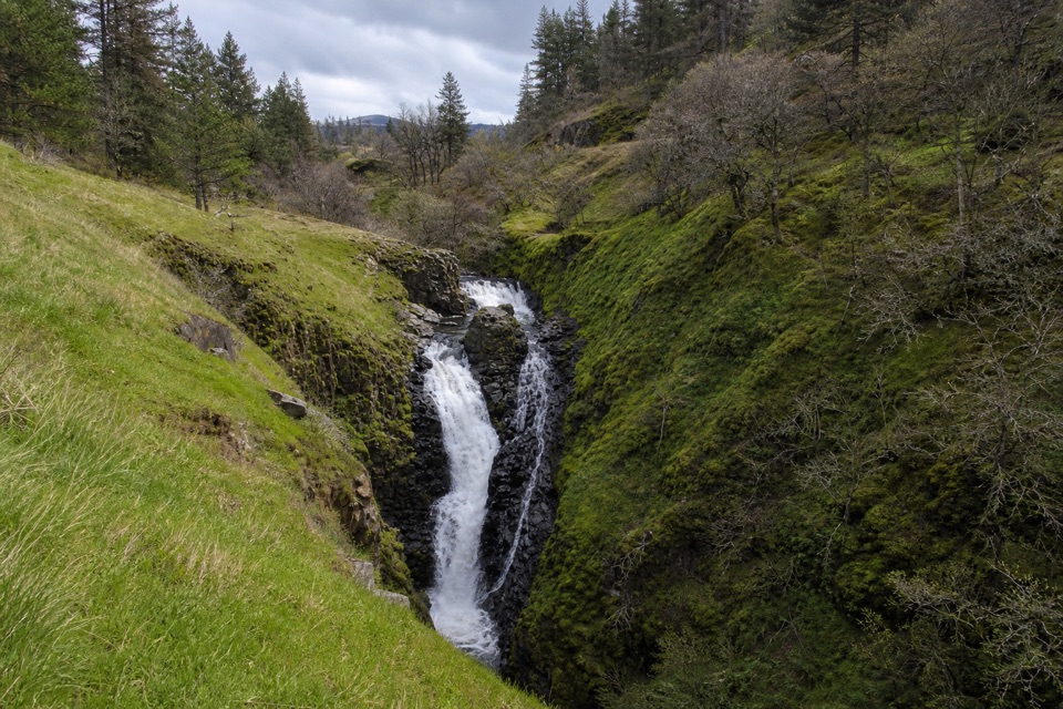 EasyMosier Creek Falls1 mi · 45 min · 1.2 mi awayA quick town walk to an 80-foot, two-tiered waterfall.
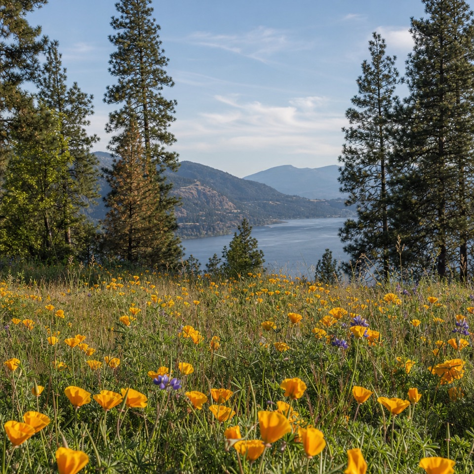 ModerateMosier Plateau Trail3.5 mi · 2.5 hr · 1.2 mi awayA creekside waterfall, spring flowers, then a steep climb to Gorge views.
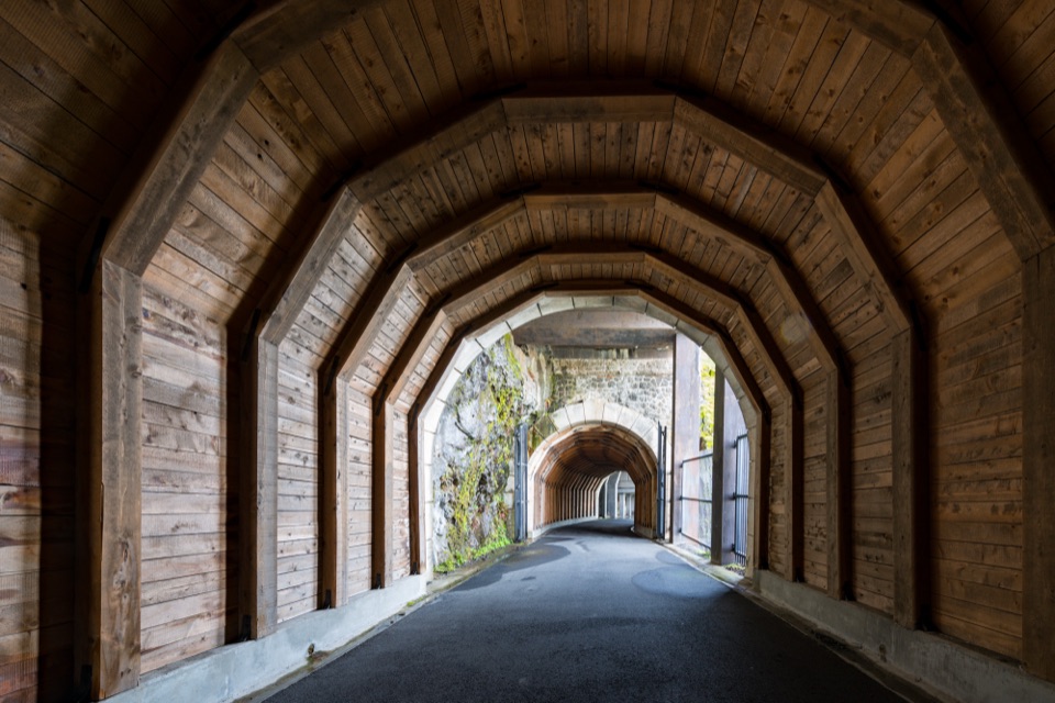 ModerateHistoric Columbia River Highway State Trail — Twin Tunnels Segment4.5 mi · 2.5 hr · 1.4 mi awayWalk the old highway through twin tunnels with framed river views.
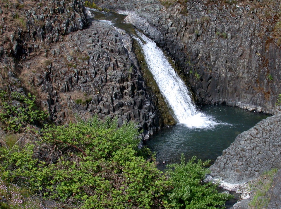 EasyCatherine Creek Interpretive Trail1 mi · 54 min · 2 mi awayA paved mile through wildflower slopes to the Catherine Creek Falls view.
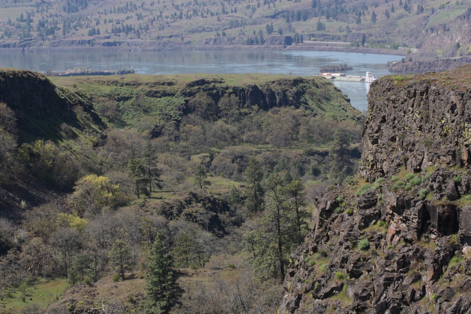 EasyRowena Plateau Loop2.6 mi · 1.5 hr · 5 mi awayIce Age ponds, spring flowers and two big views from the plateau.
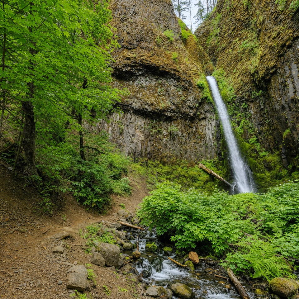 Sight · 1.4 mi awayMosier Creek FallsA quick waterfall stop, with a historic bridge on the way in.
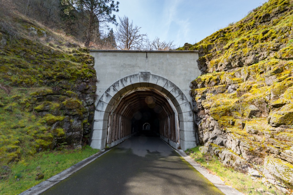 Sight · 1.4 mi awayMosier Twin TunnelsHistoric highway tunnels with windows that frame the Gorge.
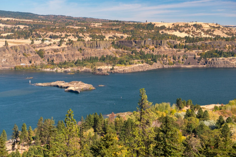 Sight · 2.5 mi awayMemaloose OverlookA quick river view across to Memaloose Island.
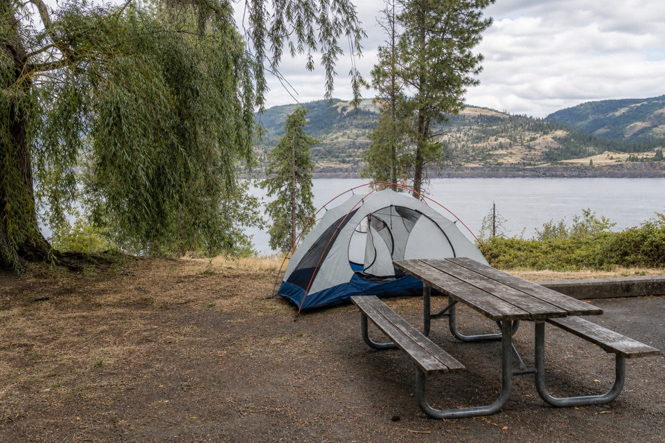 Campground · 2.7 mi awayMemaloose State Park CampgroundCamp beside the Columbia, with Memaloose Island in view.
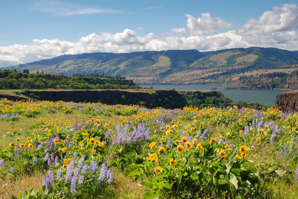 Sight · 5.1 mi awayRowena Crest OverlookSee the Columbia and Rowena Loops together in one roadside view.
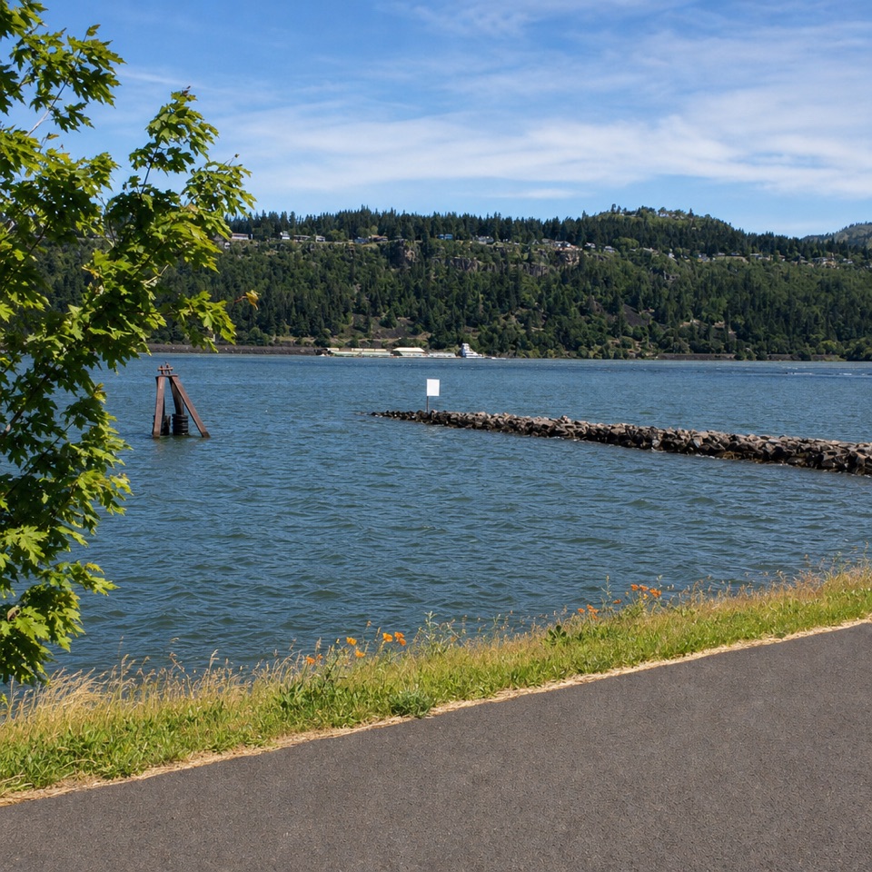 Sight · 5.5 mi awayHood River Event SiteWatch windsurfing and kiteboarding right on the river.
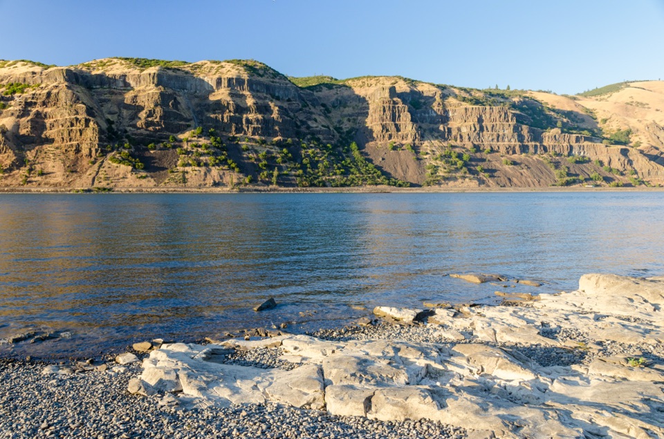 Sight · 5.6 mi awayMayer State Park – River AccessChoose among wind sports, sheltered paddling, or a riverbank picnic.
 Beach · 5.7 mi awayHood River Waterfront ParkA sandy swimming cove for a low-key Columbia River break.
Parkwolf’s Columbia River Gorge ranking

The audio tour guide for the drive, plus offline maps, trails, and wildlife heatmaps for when the signal drops.





